Barton Abbey
Settlement in Oxfordshire West Oxfordshire
England
Barton Abbey
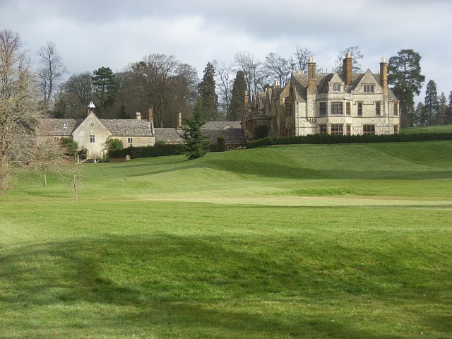
Barton Abbey is a historic estate located in Oxfordshire, England. Situated near the village of Steeple Barton, it is nestled amidst picturesque countryside and covers an area of approximately 500 acres. The estate boasts a rich history dating back to the medieval period, with records indicating that it was owned by various noble families over the centuries.
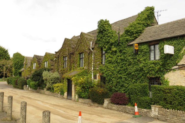
The centerpiece of Barton Abbey is the stunning Grade II listed mansion, which was constructed in the early 17th century. The architecture reflects a blend of different styles, including Jacobean and Georgian influences. The mansion features grand reception rooms, intricate woodwork, and elegant gardens, showcasing the wealth and opulence of its previous owners.
Surrounding the mansion are vast grounds that comprise manicured lawns, meandering pathways, and beautiful gardens. The estate also encompasses a lake and woodland areas, providing a tranquil and idyllic setting for visitors to explore. The gardens are meticulously maintained, allowing visitors to experience the beauty of the English countryside throughout the seasons.
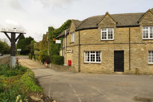
Barton Abbey is not open to the public on a regular basis, as it is a private residence. However, the estate occasionally hosts special events, such as charity fundraisers and open days, allowing visitors to catch a glimpse of its historical significance and natural beauty.
Overall, Barton Abbey is a cherished piece of Oxfordshire's heritage, offering a glimpse into the county's rich history and providing a haven of tranquility for those lucky enough to visit.
If you have any feedback on the listing, please let us know in the comments section below.
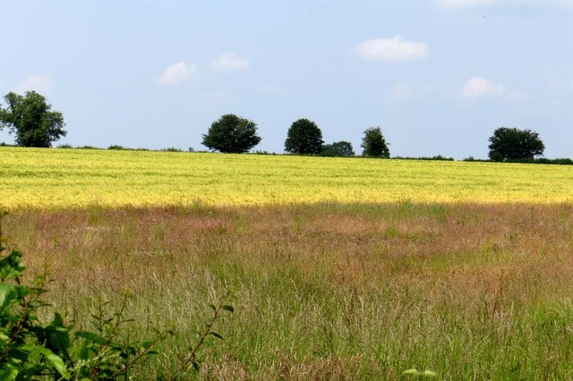
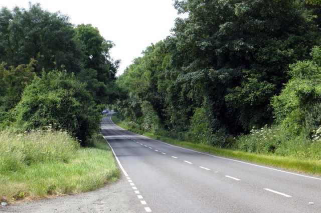
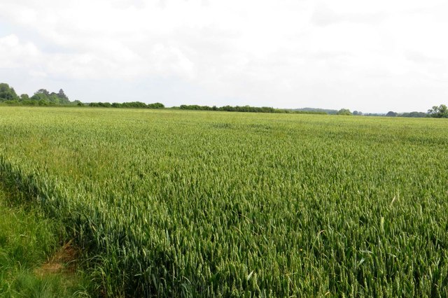
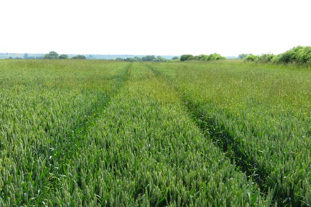
Barton Abbey Images
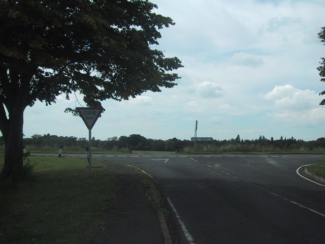
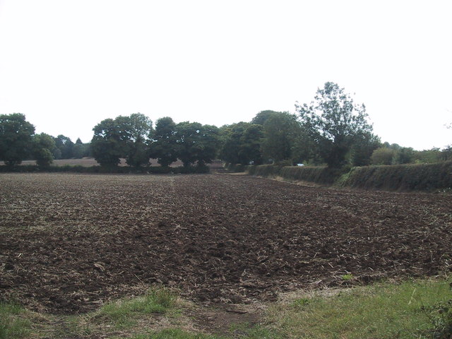
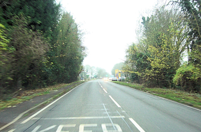
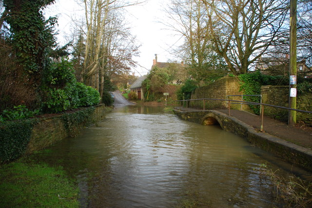
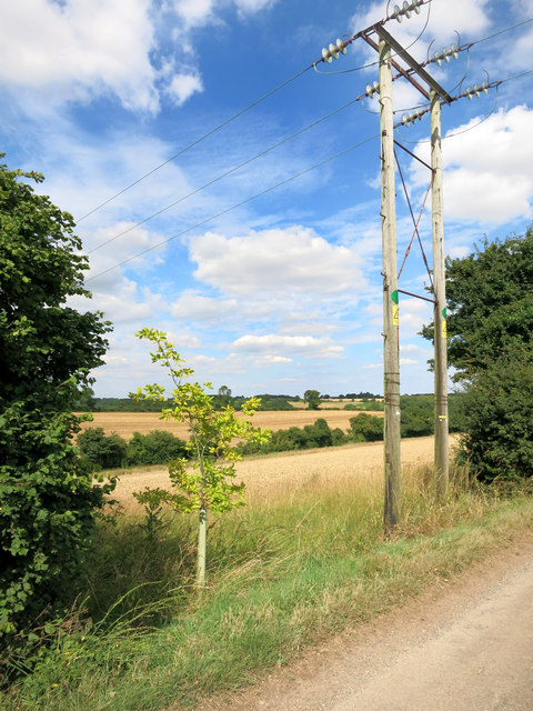
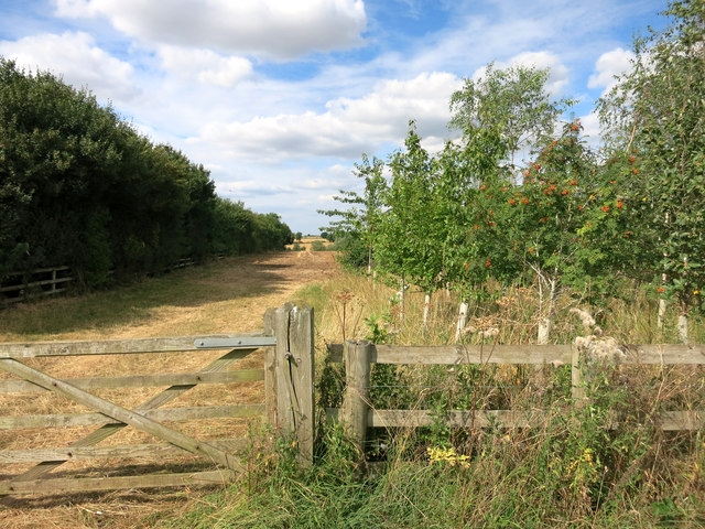
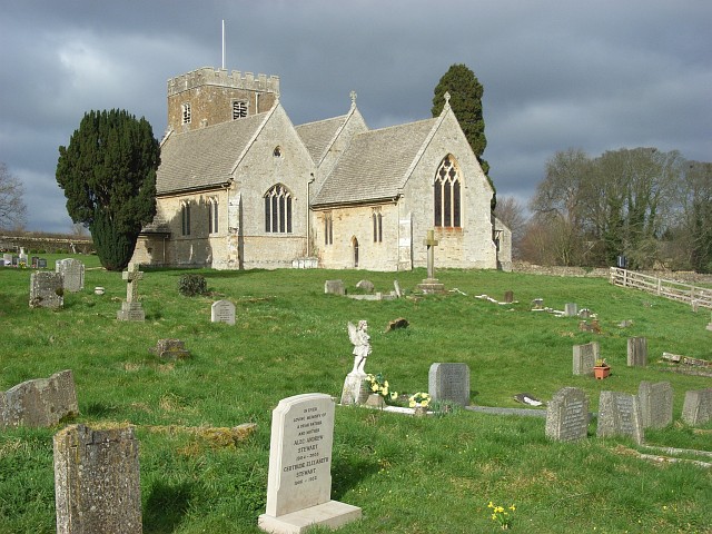
Images are sourced within 2km of 51.912721/-1.3472009 or Grid Reference SP4524. Thanks to Geograph Open Source API. All images are credited.
Barton Abbey is located at Grid Ref: SP4524 (Lat: 51.912721, Lng: -1.3472009)
Administrative County: Oxfordshire
District: West Oxfordshire
Police Authority: Thames Valley
What 3 Words
///those.bonfires.hesitate. Near Somerton, Oxfordshire
Nearby Locations
Related Wikis
Barton Abbey
Barton Abbey is a privately owned house in Oxfordshire, England located in the parish of Steeple Barton. Parts of the building date from the 16th Century...
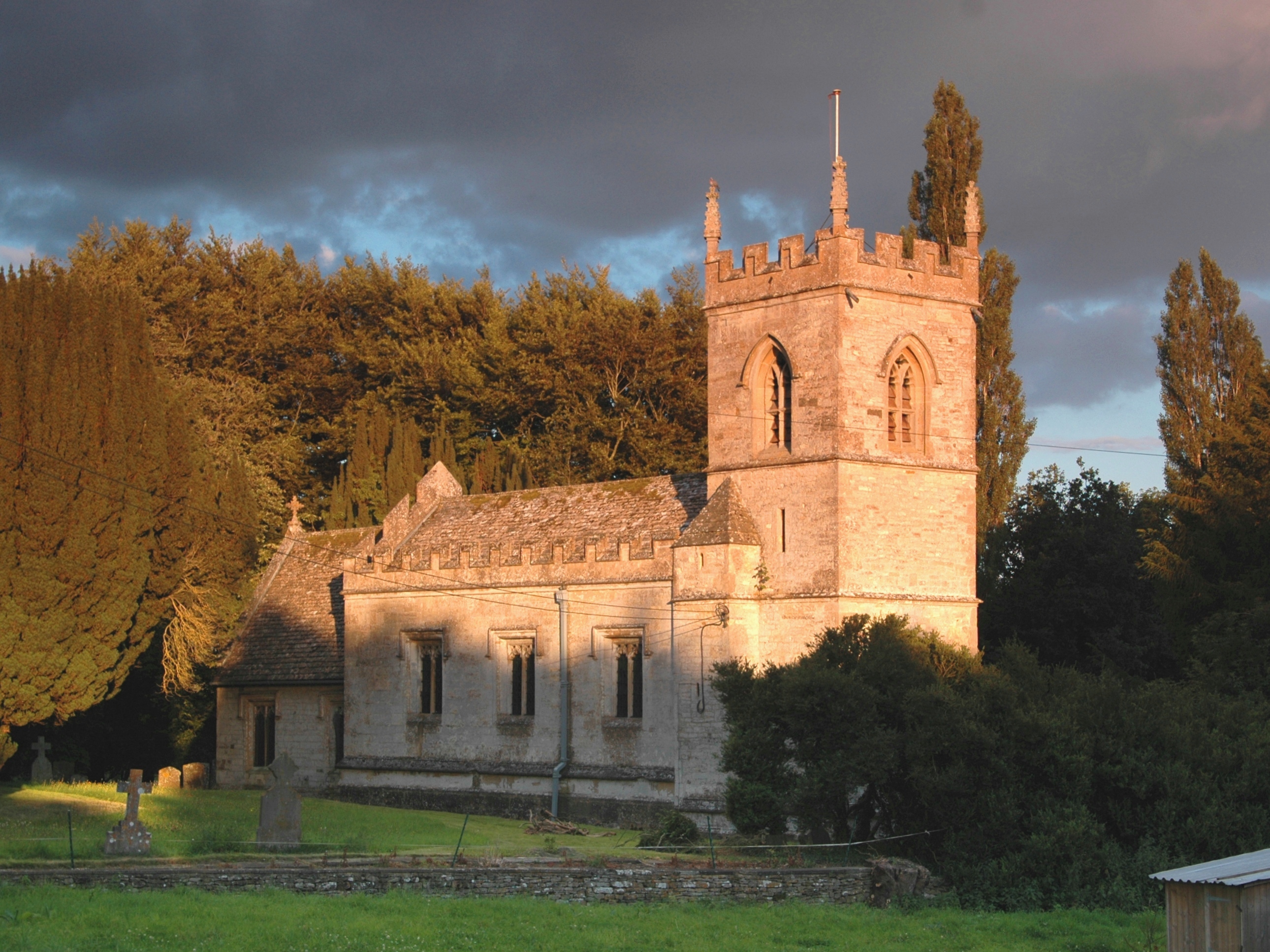
Steeple Barton
Steeple Barton is a civil parish and scattered settlement on the River Dorn in West Oxfordshire, about 8+1⁄2 miles (13.7 km) east of Chipping Norton, a...
Westcott Barton
Westcott Barton, also spelt Wescot Barton or Wescote Barton, is a village and civil parish on the River Dorn in West Oxfordshire about 7 miles (11 km)...

Rousham House
Rousham House (also known as Rousham Park) is a country house at Rousham in Oxfordshire, England. The house, which has been continuously in the ownership...
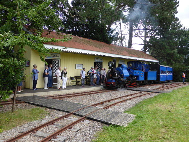
Beeches Light Railway
The Beeches Light Railway was a private narrow gauge railway in Steeple Aston, Oxfordshire, England, in the garden of the late Adrian Shooter, the former...

Rousham
Rousham is a village and civil parish beside the River Cherwell in Oxfordshire. The village is about 6+1⁄2 miles (10.5 km) west of Bicester and about 6...
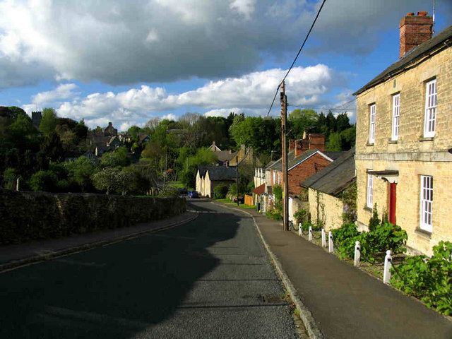
Steeple Aston
Steeple Aston is a village and civil parish on the edge of the Cherwell Valley, in the Cherwell District of Oxfordshire, England, about 12 miles (19 km...

Sheep's Banks
Sheep's Banks is a 5.1-hectare (13-acre) biological Site of Special Scientific Interest north of Wootton in Oxfordshire.This steeply sloping site is species...
Have you been to Barton Abbey?
Leave your review of Barton Abbey below (or comments, questions and feedback).