Hoar Stone
Heritage Site in Oxfordshire West Oxfordshire
England
Hoar Stone
Hoar Stone is a historical and cultural landmark located in Oxfordshire, England. Situated near the village of Enstone, this heritage site holds significant historical and archaeological importance. The Hoar Stone is a large, coarse sandstone boulder measuring approximately 1.8 meters in height and 1.5 meters in width, weighing around 25 tons.
Believed to date back to the prehistoric era, the Hoar Stone has been a center of curiosity and speculation for centuries. Its origin and purpose remain somewhat enigmatic, with various theories proposed by historians and archaeologists. Some suggest it may have served as a boundary marker, while others speculate it could have had a religious or ceremonial significance.
The stone's name, "Hoar," is derived from the Old English word for "boundary," further supporting the theory of its use as a marker. It is also worth noting that the stone is located at the intersection of several ancient trackways, adding to its historical significance.
Visitors to the Hoar Stone can experience a sense of mystery and awe as they stand before this ancient monolith. The stone is easily accessible, nestled in a picturesque rural landscape, and surrounded by fields and woodlands.
Over the years, the Hoar Stone has become a popular destination for tourists, history enthusiasts, and those interested in the ancient past of Oxfordshire. Its enduring presence and ambiguous origins contribute to its allure, making it a site of great historical and cultural value for the region.
If you have any feedback on the listing, please let us know in the comments section below.
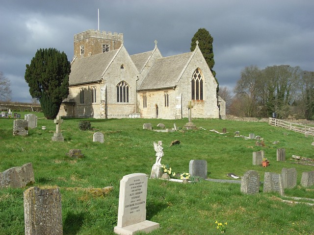
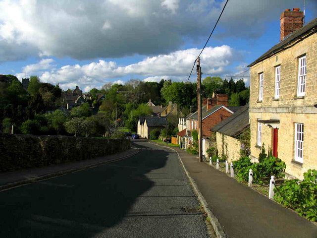
Hoar Stone Images
Images are sourced within 2km of 51.917/-1.338 or Grid Reference SP4524. Thanks to Geograph Open Source API. All images are credited.


Hoar Stone is located at Grid Ref: SP4524 (Lat: 51.917, Lng: -1.338)
Administrative County: Oxfordshire
District: West Oxfordshire
Police Authority: Thames Valley
What 3 Words
///instructs.caked.mime. Near Somerton, Oxfordshire
Nearby Locations
Related Wikis
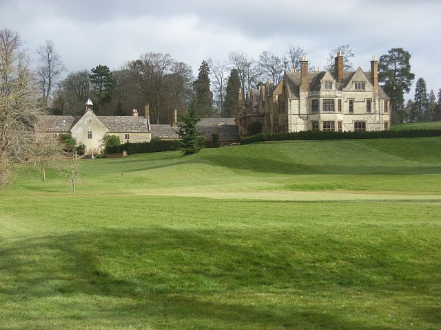
Barton Abbey
Barton Abbey is a privately owned house in Oxfordshire, England located in the parish of Steeple Barton. Parts of the building date from the 16th Century...
Steeple Barton
Steeple Barton is a civil parish and scattered settlement on the River Dorn in West Oxfordshire, about 8+1⁄2 miles (13.7 km) east of Chipping Norton, a...
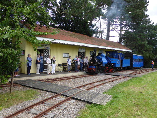
Beeches Light Railway
The Beeches Light Railway was a private narrow gauge railway in Steeple Aston, Oxfordshire, England, in the garden of the late Adrian Shooter, the former...

Rousham House
Rousham House (also known as Rousham Park) is a country house at Rousham in Oxfordshire, England. The house, which has been continuously in the ownership...
Steeple Aston
Steeple Aston is a village and civil parish on the edge of the Cherwell Valley, in the Cherwell District of Oxfordshire, England, about 12 miles (19 km...

Rousham
Rousham is a village and civil parish beside the River Cherwell in Oxfordshire. The village is about 6+1⁄2 miles (10.5 km) west of Bicester and about 6...

Horsehay Quarries
Horsehay Quarries is a 8.4-hectare (21-acre) geological Site of Special Scientific Interest west of Bicester in Oxfordshire. It is a Geological Conservation...
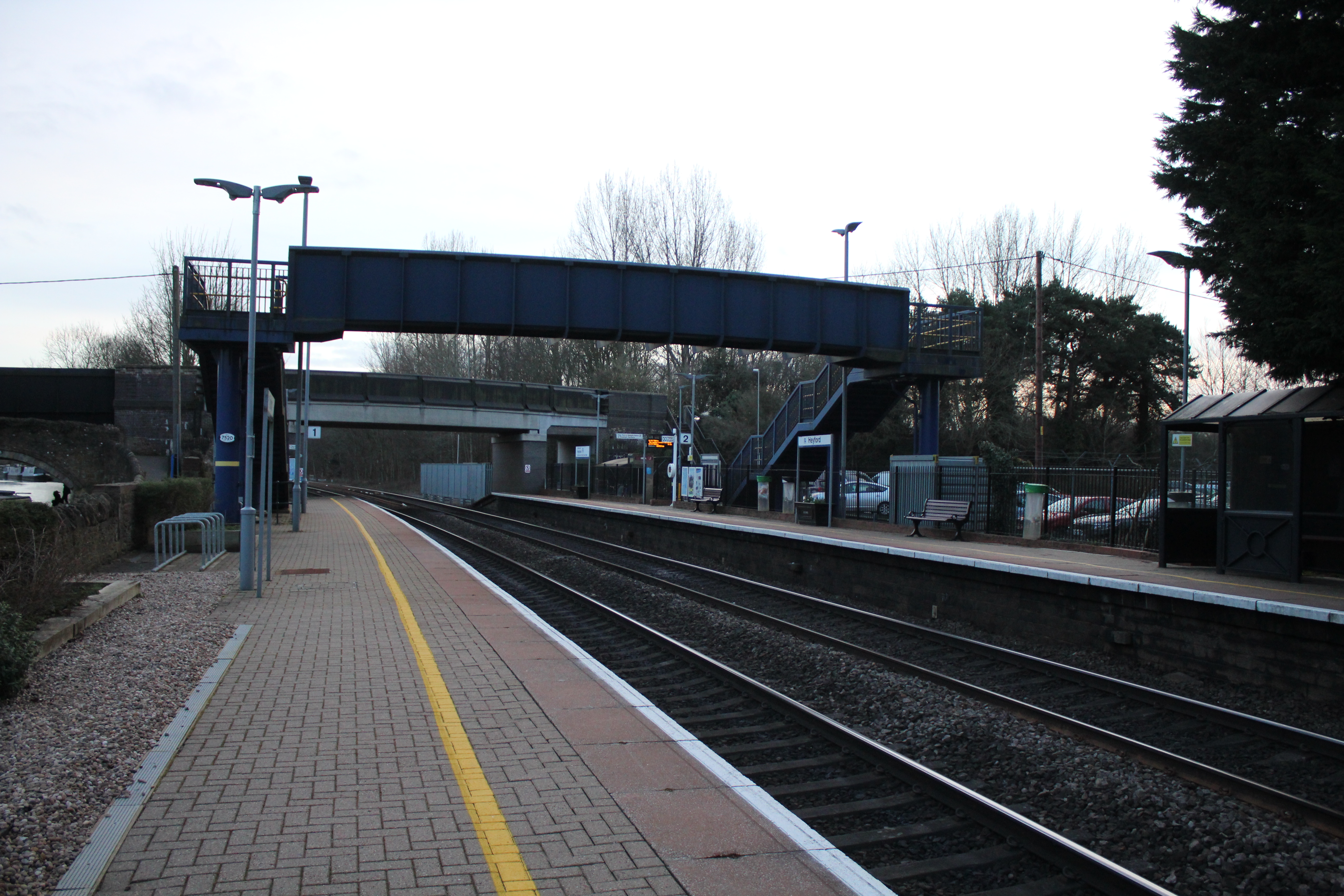
Heyford railway station
Heyford railway station serves the village of Lower Heyford and surrounding areas in Oxfordshire, England. It is on the Cherwell Valley Line and is ideally...
Have you been to Hoar Stone?
Leave your review of Hoar Stone below (or comments, questions and feedback).