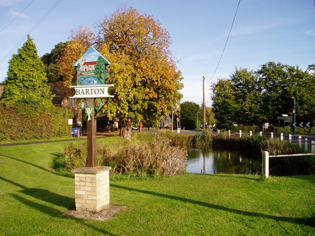
Barton

Settlement in Cambridgeshire South Cambridgeshire

England

Barton

Bike (oh and a river) My bike, and a very picturesque (I think) bend in the river, complete with overhanging tree, sparkly lighting yadda yadda. Not *quite* on the path, but oh well ;)
Bike (oh and a river) Credit: Paul Wallington

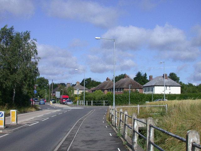
Barton is a village located in the district of South Cambridgeshire, in the county of Cambridgeshire, England. Situated approximately 5 miles west of the city of Cambridge, Barton is a small and picturesque village with a population of around 1,000 residents.

The village is known for its historical significance, with evidence of human settlement dating back to Roman times. Barton boasts several listed buildings, including the Grade II listed St. Peter's Church, which dates back to the 13th century. The church features stunning architectural details, including a Norman doorway and a medieval octagonal font.

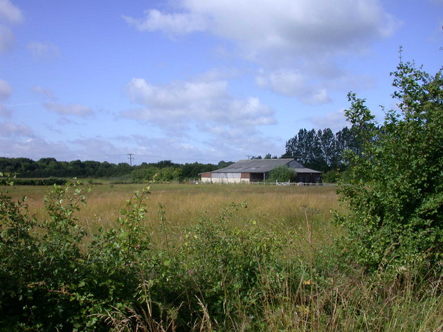
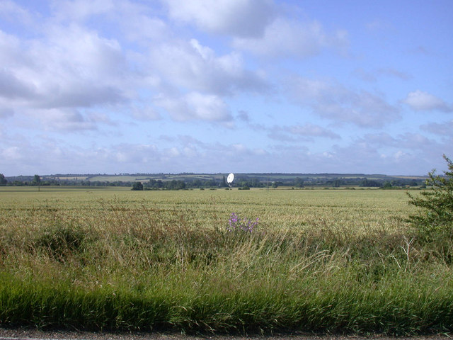
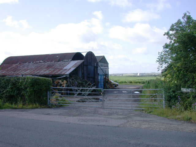
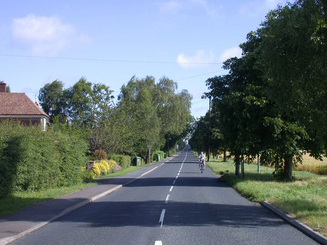
Barton is surrounded by beautiful countryside, offering a tranquil and scenic setting for residents and visitors alike. The village is home to a variety of amenities, including a local primary school, a village hall, a pub, and a playing field. There are also several footpaths and bridleways that allow for exploring the surrounding countryside and enjoying outdoor activities.

Despite its relatively small size, Barton benefits from excellent transport links. The village is located near the A428 road, providing easy access to Cambridge, Bedford, and the M11 motorway. Additionally, there are regular bus services connecting Barton to nearby towns and villages.

Overall, Barton, Cambridgeshire, offers a charming and peaceful rural retreat with a rich history and convenient access to nearby urban centers.

If you have any feedback on the listing, please let us know in the comments section below.
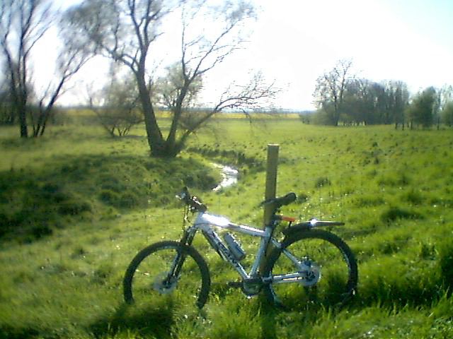
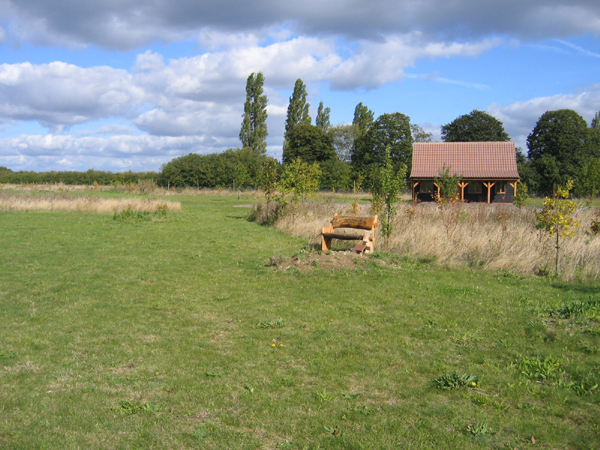
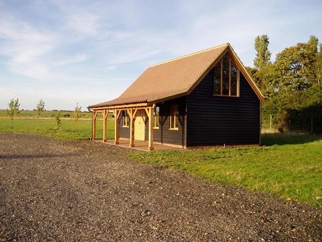
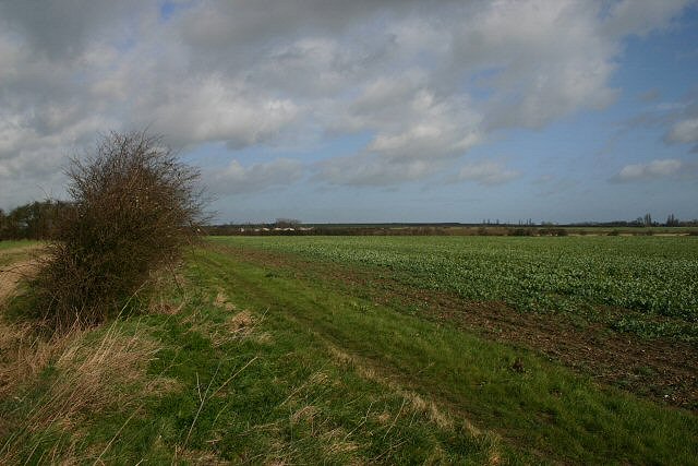
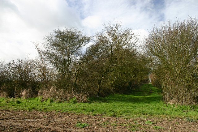
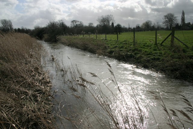
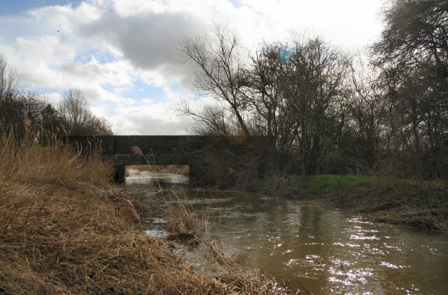
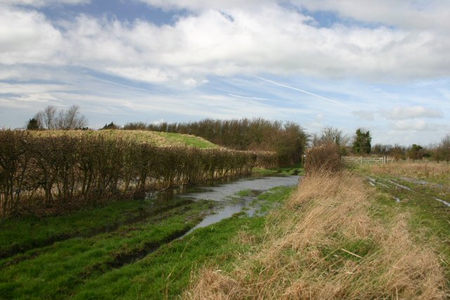
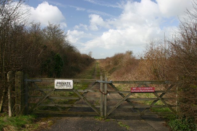
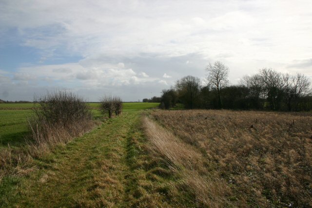
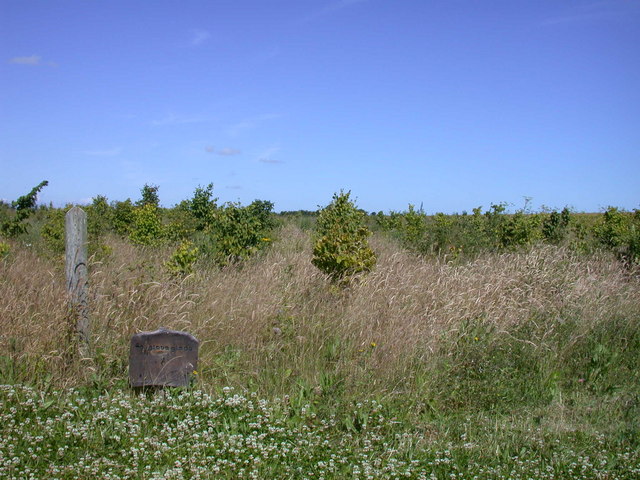
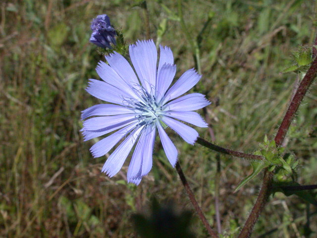
Barton Images

Images are sourced within 2km of 52.18209/0.055916474 or Grid Reference TL4055. Thanks to Geograph Open Source API. All images are credited.

Bike (oh and a river) My bike, and a very picturesque (I think) bend in the river, complete with overhanging tree, sparkly lighting yadda yadda. Not *quite* on the path, but oh well ;)
Bike (oh and a river)
My bike, and a very picturesque (I think) bend in the river, complete with overhanging tree, sparkly lighting yadda yadda. Not *quite* on the path, but oh well ;)
Barton Glebe Woodland Burial Site and Memorial Lodge, Comberton Road, Cambs The Arbory Trust site at Barton is the first of its kind and will eventually cover some 38 acres.
Barton Glebe Woodland Burial Site and Memorial Lodge, Comberton Road, Cambs
The Arbory Trust site at Barton is the first of its kind and will eventually cover some 38 acres.
Woodland burial site This is the Memorial Lodge of the Arbory Trust's burial site outside Barton. The area has been planted with trees which will grow into a respectable wood in 50 years or so.
Woodland burial site
This is the Memorial Lodge of the Arbory Trust's burial site outside Barton. The area has been planted with trees which will grow into a respectable wood in 50 years or so.
Footpath to Comberton This footpath starts at Lord's Bridge on the Wimpole Road (A603) and heads in a generally westerly direction. At this point the path leads northwards.
Footpath to Comberton
This footpath starts at Lord's Bridge on the Wimpole Road (A603) and heads in a generally westerly direction. At this point the path leads northwards.
Byway from Comberton The byway ends at this point, turning right as a footpath which leads to Lord's Bridge on the A603.
Byway from Comberton
The byway ends at this point, turning right as a footpath which leads to Lord's Bridge on the A603.
Stream in spate The Bourn Brook often floods into neighbouring fields and is close to doing so here.
Stream in spate
The Bourn Brook often floods into neighbouring fields and is close to doing so here.
Lord's Bridge This bridge carries the A603 Wimpole Road over Bourn Brook.
Lord's Bridge
This bridge carries the A603 Wimpole Road over Bourn Brook.
Flooded bridleway This bridleway links the Barton Road with the A603 Wimpole Road, south of the village of Barton.
Flooded bridleway
This bridleway links the Barton Road with the A603 Wimpole Road, south of the village of Barton.
Disused railway at Lord's Bridge The railway line from Cambridge to Bedford was closed by Beeching in 1968. This section is now owned by the University of Cambridge and used as part of their Mullard Radio Astronomy Observatory facility. See <span class="nowrap"><a title="http://www.mrao.cam.ac.uk/telescopes/intro.html" rel="nofollow ugc noopener" href="http://www.mrao.cam.ac.uk/telescopes/intro.html">Link</a><img style="margin-left:2px;" alt="External link" title="External link - shift click to open in new window" src="https://s1.geograph.org.uk/img/external.png" width="10" height="10"/></span>
Disused railway at Lord's Bridge
The railway line from Cambridge to Bedford was closed by Beeching in 1968. This section is now owned by the University of Cambridge and used as part of their Mullard Radio Astronomy Observatory facility. See LinkExternal link
Bridleway to Barton Road Part of the bridleway that links the A603 Wimpole Road to Barton Road, north of Haslingfield.
Bridleway to Barton Road
Part of the bridleway that links the A603 Wimpole Road to Barton Road, north of Haslingfield.
Foxglove Glade Part of the Arbory Trust woodland burial site
Foxglove Glade
Part of the Arbory Trust woodland burial site
Chicory (Cichorium intybus) Flowers as well as trees are a feature of the woodland burial ground
Chicory (Cichorium intybus)
Flowers as well as trees are a feature of the woodland burial ground
Barn south of Barton Road
Fieldscape with Radio Telescope
Home Farm One of the MRAO radiotelescopes can be seen in the background
Home Farm
One of the MRAO radiotelescopes can be seen in the background
Horizon Park Offices to let on the Barton Road
Horizon Park
Offices to let on the Barton Road
Barton Road, Comberton Approaching the junction with Long Road
Barton Road, Comberton
Approaching the junction with Long Road
Long Road, Comberton Viewed from its junction with Barton Road, the road is very nearly dead straight all the way up to the old St Neots Road in TL3859
Long Road, Comberton
Viewed from its junction with Barton Road, the road is very nearly dead straight all the way up to the old St Neots Road in TL3859
Show me another place!

Barton is located at Grid Ref: TL4055 (Lat: 52.18209, Lng: 0.055916474)

Administrative County: Cambridgeshire

District: South Cambridgeshire

Police Authority: Cambridgeshire

What 3 Words

///label.safely.shares. Near Comberton, Cambridgeshire

Nearby Locations

Barton

Related Wikis

Barton, Cambridgeshire

Barton is a village and civil parish in the South Cambridgeshire district of Cambridgeshire, England. It is about 4 miles (6.4 km) south-west of Cambridge...

Ryle Telescope

The Ryle Telescope (named after Martin Ryle, and formerly known as the 5-km Array) was a linear east-west radio telescope array at the Mullard Radio Astronomy...

Arcminute Microkelvin Imager

The Arcminute Microkelvin Imager (AMI) consists of a pair of interferometric radio telescopes - the Small and Large Arrays - located at the Mullard Radio...

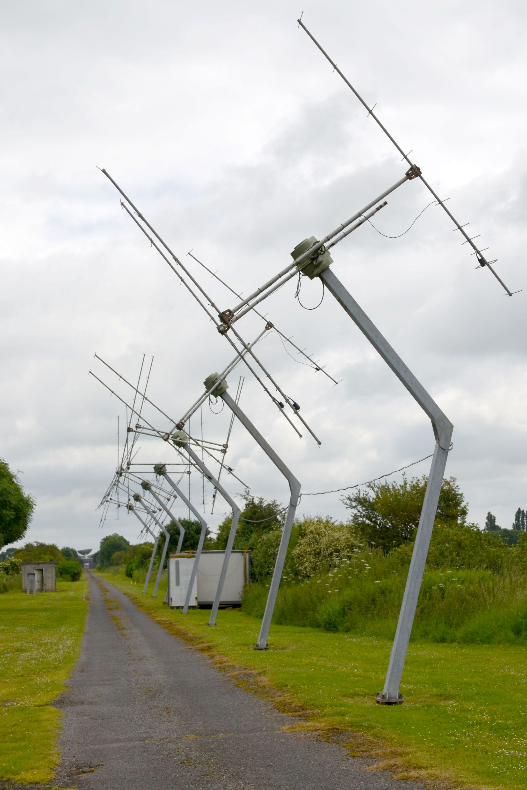
Cambridge Low Frequency Synthesis Telescope

The Cambridge Low-Frequency Synthesis Telescope (CLFST) is an east-west aperture synthesis radio telescope currently operating at 151 MHz. It consists...

Nearby Amenities

Located within 500m of 52.18209,0.055916474
Barton
Place: village
Source Name: dictaphone
Wikidata: Q2131528
Lat/Long: 52.18213/0.0572957
Pub
The Hoops
Source Name: dictaphone
Wikidata: Q26596670
Lat/Long: 52.1823617/0.0567843
Bus Stop
Kings Grove
Naptan AtcoCode: 0500SBARN002
Naptan Bearing: E
Naptan CommonName: Kings Grove
Naptan Indicator: near
Naptan Landmark: Kings Grove
Naptan NaptanCode: cmbdtpdm
Naptan PlusbusZoneRef: CAMBDGE
Naptan ShortCommonName: Kings Grove
Naptan Street: New Road
Naptan Verified: no
Source: naptan_import
Lat/Long: 52.1830976/0.060352
Bus Stop
Kings Grove
Naptan AtcoCode: 0500SBARN006
Naptan Bearing: W
Naptan BusStopType: CUS
Naptan CommonName: Kings Grove
Naptan Indicator: opp
Naptan Landmark: Kings Grove
Naptan NaptanCode: cmbdtpga
Naptan PlusbusZoneRef: CAMBDGE
Naptan ShortCommonName: Kings Grove
Naptan Street: New Road
Naptan Verified: no
Source: naptan_import
Lat/Long: 52.1829967/0.0605188
Bus Stop
High Street
Bin: yes
Naptan AtcoCode: 0500SBARN010
Naptan Bearing: NE
Naptan CommonName: High Street
Naptan Indicator: opp
Naptan Landmark: School Lane
Naptan NaptanCode: cmbdtpgp
Naptan PlusbusZoneRef: CAMBDGE
Naptan ShortCommonName: High Street
Naptan Street: New Road
Route Ref: 18;18A
Shelter: yes
Source: naptan_import
Lat/Long: 52.1824879/0.0561607
Bus Stop
High Street
Bin: yes
Naptan AtcoCode: 0500SBARN012
Naptan Bearing: W
Naptan CommonName: High Street
Naptan Indicator: near
Naptan Landmark: High Street
Naptan NaptanCode: cmbdtpgw
Naptan PlusbusZoneRef: CAMBDGE
Naptan ShortCommonName: High Street
Naptan Street: New Road
Naptan Verified: no
Shelter: yes
Source: naptan_import
Lat/Long: 52.182352/0.0558997
Post Box
Collection Times: Mo-Fr 17:15; Sa 12:00
Operator: Royal Mail
Post Box Design: type_a
Post Box Type: pillar
Ref: CB23 227
Royal Cypher: EIIR
Royal Cypher Wikidata: Q33102113
Lat/Long: 52.182507/0.0558074
Power: pole
Lat/Long: 52.1814032/0.053414
Power: pole
Lat/Long: 52.1821532/0.0491012
Power: pole
Lat/Long: 52.1816499/0.0522231
Power: pole
Lat/Long: 52.1818703/0.0507696
Power: pole
Lat/Long: 52.1811557/0.0548777
Power: transformer
Lat/Long: 52.182652/0.0613125
Power: pole
Lat/Long: 52.181643/0.0618874
Power: pole
Lat/Long: 52.1806562/0.0624641
Parking
Lat/Long: 52.1818081/0.058906
Parking
Lat/Long: 52.1816502/0.059362
Leisure: playground
Lat/Long: 52.1814496/0.0596168
Bbq
Lat/Long: 52.1815149/0.0597556
Power: pole
Lat/Long: 52.1784201/0.0521186
Power: pole
Lat/Long: 52.1797195/0.0550571
Power: pole
Lat/Long: 52.1799644/0.055029
Power: pole
Lat/Long: 52.1801858/0.0575222
Power: pole
Lat/Long: 52.1799534/0.0563042
Power: pole
Lat/Long: 52.1789383/0.0532385
Power: pole
Lat/Long: 52.1788108/0.0544214
Power: pole
Lat/Long: 52.1792524/0.0539868
Power: pole
Lat/Long: 52.1783486/0.0548277
Barrier: height_restrictor
Maxheight: 2.1
Lat/Long: 52.1798653/0.0601154
Bench
Backrest: yes
Inscription: Barton W.I. 2003
Material: wood
Lat/Long: 52.1825808/0.0553173
Post Office
Barton Post Office
Brand: Post Office
Brand Wikidata: Q1783168
Check Date: 2023-09-27
Ref Pol Id: 313
Lat/Long: 52.1827633/0.0558163
Conkers Stores
Shop: convenience
Lat/Long: 52.1827378/0.0558966
Toilets
Lat/Long: 52.1814961/0.0593985
The Larder
Shop: deli
Lat/Long: 52.1815282/0.0596848
Leech & Sons
Shop: butcher
Lat/Long: 52.1814888/0.059538
Biscotti Di Debora
Shop: bakery
Lat/Long: 52.1815952/0.0597103
Rocking Horse
Shop: toys
Lat/Long: 52.1815151/0.0592537
Backstitch
Shop: fabric_and_haberdashery
Lat/Long: 52.181645/0.0589439
Cuckoo
Shop: clothes
Lat/Long: 52.1817469/0.0591397
Dragonfly
Shop: beauty
Lat/Long: 52.1818974/0.0590458
Inside Out
Shop: clothes
Lat/Long: 52.181682/0.0591652
Persian Tribal Rugs
Shop: carpet
Lat/Long: 52.1819607/0.0588433
Providence
Shop: furniture
Lat/Long: 52.1819089/0.0589908
Sterling Designs
Shop: gift
Lat/Long: 52.1817453/0.0592322
The Manor Florist
Shop: florist
Lat/Long: 52.1815603/0.0591517
Henrich Zelinka
Craft: blacksmith
Lat/Long: 52.182126/0.0584828
Bicycle Parking
Access: customers
Bicycle Parking: stands
Capacity: 8
Covered: no
Fee: no
Surface: gravel
Lat/Long: 52.1816906/0.0596295
Bench
Backrest: no
Material: wood
Lat/Long: 52.1829872/0.0605543
Bench
Backrest: no
Lat/Long: 52.1827933/0.0624904
Running Fox Walks board 3
Board Title: Running Fox Walks / 3 Buttercup
Board Type: nature
Information: board
Operator: Burwash Manor Farm
Source: survey
Tourism: information
Lat/Long: 52.1827925/0.0624525
Bench
Backrest: yes
Inscription: In memory of Rees & Gwyneth Evans Barton residents 1954-2017
Material: wood
Openbenches Id: 18768
Lat/Long: 52.1831063/0.0603179
Bench
Backrest: yes
Inscription: IN LOVING MEMORY OF MARTHA ARMITAGE 1906-1996
Material: wood
Openbenches Id: 22961
Lat/Long: 52.1824499/0.0557557
Bench
Backrest: yes
Inscription: To John Boocock in recognition of his services to Barton Parish
Material: wood
Openbenches Id: 22962
Lat/Long: 52.1825107/0.0556277
Barrier: bollard
Lat/Long: 52.1813621/0.0570512
Waste Basket
Lat/Long: 52.1800145/0.0596338
Bench
Backrest: no
Lat/Long: 52.1831521/0.0536495
Bench
Backrest: yes
Material: wood
Lat/Long: 52.1799762/0.0596274
Barrier: bollard
Lat/Long: 52.1800187/0.0596108
Board Type: notice
Information: board
Tourism: information
Lat/Long: 52.1801232/0.0596622
Public Bookcase
Barton Booksharing Scheme
Booth: K6
Colour: red
Disused Amenity: telephone
Man Made: telephone_box
Public Bookcase Type: phone_box
Lat/Long: 52.1821077/0.0558115
Bicycle Parking
Bicycle Parking: stands
Capacity: 6
Covered: no
Lat/Long: 52.1824844/0.0558108
Board Title: Barton Parish Council
Board Type: notice
Information: board
Message: local
Operator: Barton Parish Council
Tourism: information
Lat/Long: 52.182503/0.0558287
Board Title: Footpaths of Barton
Information: map
Tourism: information
Lat/Long: 52.1825564/0.055604
Bench
Backrest: yes
Inscription: In Loving Memory of Ralph & Prudence Raphael
Lat/Long: 52.1789728/0.0589363
Board Type: rules
Information: board
Note: this board explains what the opening hours of the parking area are
Tourism: information
Lat/Long: 52.1798908/0.0600838
Board Type: rules
Information: board
Tourism: information
Lat/Long: 52.1806696/0.0626142
Running Fox Walks board 2
Board Title: Running Fox Walks / 2 Bael's Acre
Board Type: nature
Information: board
Operator: Burwash Manor Farm
Source: survey
Tourism: information
Lat/Long: 52.1807906/0.0624768
Running Fox Walks board 1
Board Title: Running Fox Walks / 1 Pear Tree Close
Board Type: nature
Information: board
Operator: Burwash Manor Farm
Source: survey
Tourism: information
Lat/Long: 52.1814717/0.0609457
Running Fox Walks board 8
Board Title: Running Fox Walks / 8 Moat Meadow
Board Type: nature
Information: board
Operator: Burwash Manor Farm
Source: survey
Tourism: information
Lat/Long: 52.1826049/0.0610062
Information: guidepost
Tourism: information
Lat/Long: 52.1827375/0.0569587
Information: guidepost
Tourism: information
Lat/Long: 52.1830908/0.0580703
Board Type: notice
Information: board
Lit: no
Support: pole
Tourism: information
Visibility: house
Lat/Long: 52.1830882/0.0580856
Information: guidepost
Tourism: information
Lat/Long: 52.1821859/0.0568883
Barton
Man Made: village_sign
Lat/Long: 52.1825323/0.0552545
Information: route_marker
Tourism: information
Lat/Long: 52.1800217/0.0595912
Bicycle Parking
Bicycle Parking: stands
Capacity: 6
Lat/Long: 52.1820506/0.0574489
Covered: yes
Man Made: water_well
Note: this is a decorative waterwell that has a bucket at its base with a rope attached to an old mangle at the top
Water Well Type: decorative
Lat/Long: 52.1814284/0.0588701
Bicycle Parking
Capacity: 6
Lat/Long: 52.1822888/0.0565899
Entrance: yes
Lat/Long: 52.1821871/0.057641
Bicycle Parking
Capacity: 4
Lat/Long: 52.1821767/0.0577157
Bench
Lat/Long: 52.1821581/0.0576242
Bench
Lat/Long: 52.1821512/0.058231
Waste Basket
Lat/Long: 52.1825074/0.0560991
Waste Basket
Lat/Long: 52.1823092/0.0558496
Bench
Backrest: yes
Material: wood
Lat/Long: 52.1829695/0.0576956
Abandoned Barrier: gate
Access: private
Lat/Long: 52.1790763/0.0584457
Bench
Backrest: yes
Lat/Long: 52.1790479/0.0586103
Bench
Backrest: yes
Lat/Long: 52.1790158/0.0587511
Information: route_marker
Tourism: information
Lat/Long: 52.1829965/0.0616341
Barrier: swing_gate
Lat/Long: 52.1830026/0.0617126
Bench
Lat/Long: 52.1815141/0.0589643
Bench
Backrest: yes
Material: wood
Lat/Long: 52.1812466/0.0587119
Leisure: picnic_table
Lat/Long: 52.1813733/0.0588829
Bench
Backrest: yes
Material: wood
Lat/Long: 52.1812067/0.0592617
Grit Bin
Lat/Long: 52.1810873/0.059593
Bench
Backrest: yes
Material: wood
Lat/Long: 52.1819143/0.0576578
Entrance: yes
Lat/Long: 52.1819067/0.0576636
Bench
Backrest: yes
Material: wood
Lat/Long: 52.1817976/0.0578167
Bench
Lat/Long: 52.1812937/0.0585915
Bench
Lat/Long: 52.1815272/0.0585372
Bench
Lat/Long: 52.1816271/0.0586592
Bench
Lat/Long: 52.1815083/0.0584906
Bench
Lat/Long: 52.1848503/0.0603973
Entrance: yes
Lat/Long: 52.1794478/0.0589565
Leisure: picnic_table
Lat/Long: 52.1796297/0.0587682
Bench
Backrest: yes
Material: wood
Lat/Long: 52.1796211/0.058796
Waste Basket
Lat/Long: 52.1796143/0.0588235
Waste Basket
Lat/Long: 52.1789922/0.0589452
Bench
Backrest: no
Material: wood
Lat/Long: 52.1790504/0.0584524
Waste Basket
Lat/Long: 52.1795923/0.0582395
Bench
Backrest: no
Material: wood
Lat/Long: 52.1794282/0.0583615
Bicycle Parking
Capacity: 6
Lat/Long: 52.1793974/0.0584829
Bench
Backrest: yes
Inscription: Donated By /w The Barton /w Gardeners /w 2011
Material: wood
Lat/Long: 52.1794117/0.0586946
Entrance: yes
Lat/Long: 52.1793877/0.0588609
Leisure: picnic_table
Lat/Long: 52.1794303/0.0587706
Toilets
Access: destination
Lat/Long: 52.1794299/0.0589563
Waste Basket
Lat/Long: 52.1793839/0.0591762
Bicycle Parking
Capacity: 6
Lat/Long: 52.1793891/0.0591491
Defibrillator
Defibrillator Location: right hand side of shed, just behind bicycle parking
Emergency: defibrillator
Indoor: no
Ref: CHT-RT-1770
Lat/Long: 52.1793836/0.0591295
Information: guidepost
Tourism: information
Lat/Long: 52.1799118/0.0600352
Barrier: cycle_barrier
Lat/Long: 52.1797431/0.060569
The data included in this document is from www.openstreetmap.org. The data is made available under ODbL.

Have you been to Barton?

Leave your review of Barton below (or comments, questions and feedback).