Gasaidh

Island in Inverness-shire

Scotland

Gasaidh

Tidal rock near Cleit Steiseigh
Tidal rock near Cleit Steiseigh Credit: Toby Speight

Gasaidh is a small island located in the Inverness-shire region of Scotland. Situated in the Inner Hebrides, this picturesque island covers an area of approximately 20 square kilometers. Gasaidh is surrounded by the vast and beautiful waters of the North Atlantic Ocean.

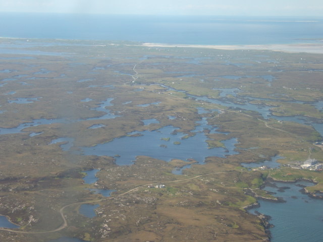
The island's landscape is dominated by rugged hills and stunning coastal cliffs. Its highest point, known as Beinn Gasaidh, reaches an elevation of 300 meters, offering breathtaking panoramic views of the surrounding area. The island is also home to several freshwater lochs, including Loch Gasaidh, which provide a peaceful and serene atmosphere.

Gasaidh boasts a rich and diverse wildlife. The island is a haven for birdwatchers, with a wide range of species nesting and migrating through the area. Visitors may catch a glimpse of puffins, guillemots, and even sea eagles. The surrounding waters are also teeming with marine life, making it a popular spot for fishing enthusiasts.

Despite its relatively small size, Gasaidh has a strong sense of community. The island is home to a close-knit population, who engage in traditional activities such as crofting and fishing. The local economy relies mainly on tourism, with visitors drawn to the island's natural beauty and tranquility.

Gasaidh can be reached via a short ferry journey from the nearby mainland. Once on the island, visitors can explore its stunning landscapes, enjoy outdoor activities such as hiking and fishing, or simply relax on its pristine beaches.

Overall, Gasaidh offers a unique and captivating experience for those seeking a peaceful retreat surrounded by the beauty of nature.

If you have any feedback on the listing, please let us know in the comments section below.
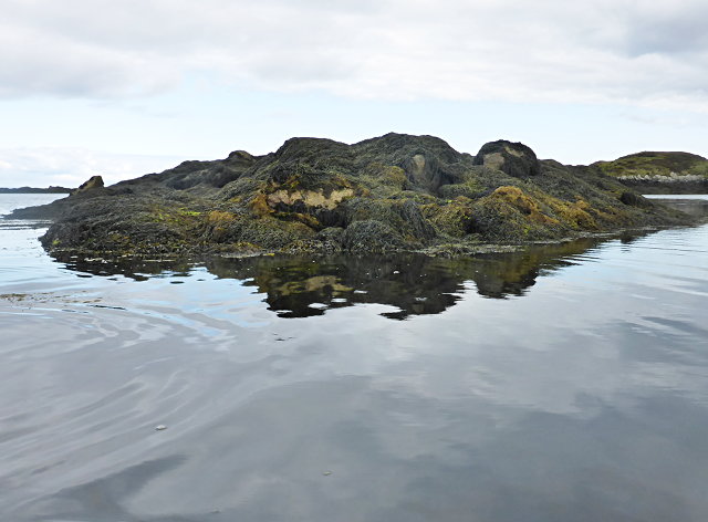
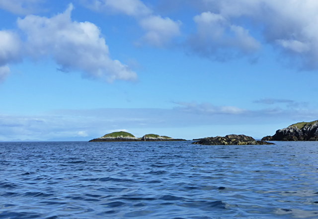
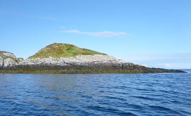
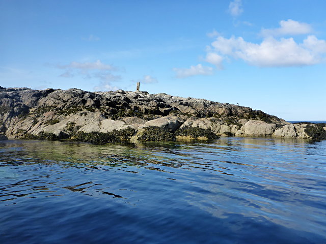
Gasaidh Images

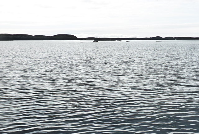
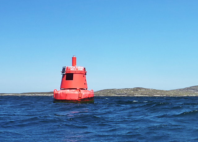
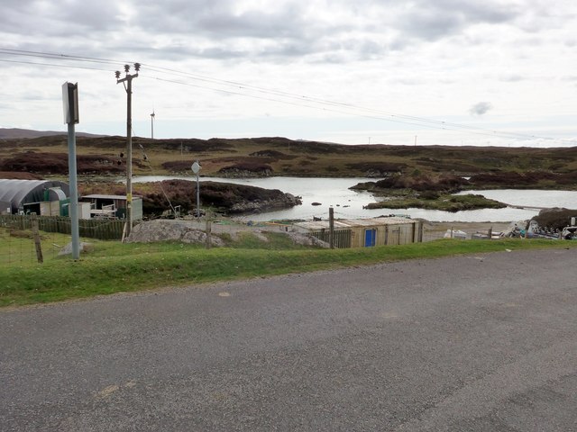
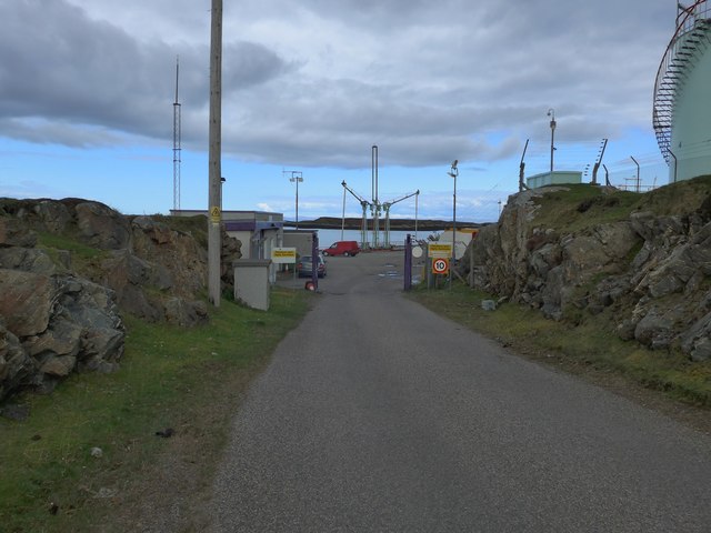
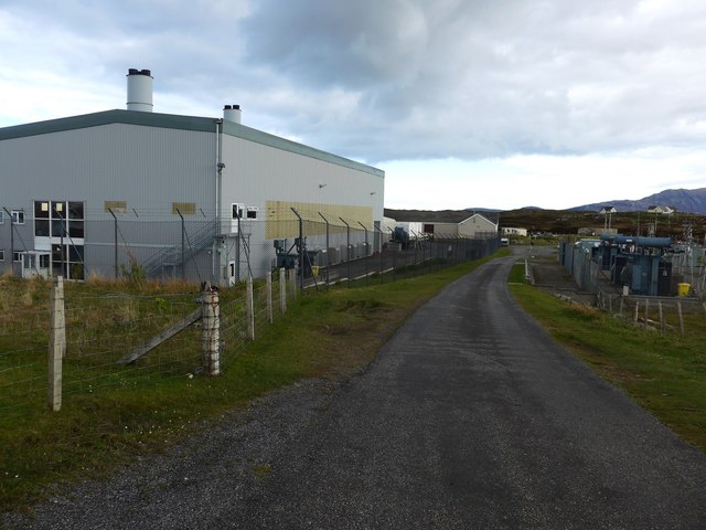
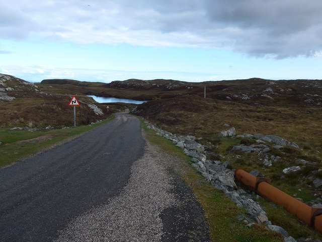
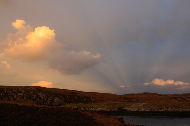
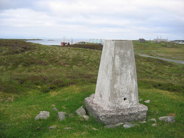
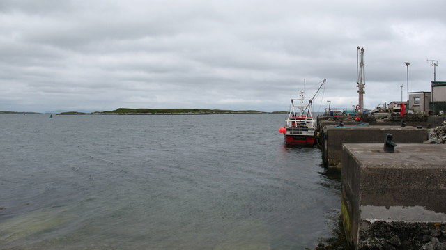
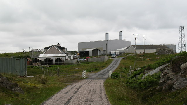
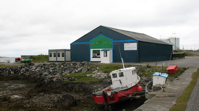
Images are sourced within 2km of 57.369088/-7.2576692 or Grid Reference NF8443. Thanks to Geograph Open Source API. All images are credited.
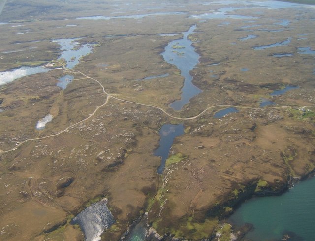
Tidal rock near Cleit Steiseigh
Eilean a' Geòidh Gasaidh is visible on the extreme right.
Eilean a' Geòidh
Gasaidh is visible on the extreme right.
Eilean a' Mhadaidh
Eilean a' Mhadaidh
Sgeir Mhic Iamain There's a concrete pillar on top of this islet.  I can't be sure, but it's likely that it's a former navigation aid.  There's also an oystercatcher - I'm more sure of that, and it hasn't stayed as long.
Sgeir Mhic Iamain
There's a concrete pillar on top of this islet. I can't be sure, but it's likely that it's a former navigation aid. There's also an oystercatcher - I'm more sure of that, and it hasn't stayed as long.
Steiseigh and nearby rocks This is a wide, shallow sea, with a big difference in what's visible at high and low tide.  Here, we're somewhere between the two, and a few rocks are already showing.
Steiseigh and nearby rocks
This is a wide, shallow sea, with a big difference in what's visible at high and low tide. Here, we're somewhere between the two, and a few rocks are already showing.
Loch Carnan no. 1 port-side channel buoy This is the most seaward of the marker buoys for Loch Carnan (excepting <a href="https://www.geograph.org.uk/photo/4974591">NF8843 : Loch nan Carnan Landfall Buoy</a>).  There are 4 port buoys and 2 starboard, with Port no. 2 and Starboard no. 1 paired.
Loch Carnan no. 1 port-side channel buoy
This is the most seaward of the marker buoys for Loch Carnan (excepting NF8843 : Loch nan Carnan Landfall Buoy). There are 4 port buoys and 2 starboard, with Port no. 2 and Starboard no. 1 paired.
Fish farm base at Loch Carnan
Certas Energy fuel depot on South Uist Small fuel tankers call here.  The site is owned by MoD and leased to Certas Energy.
Certas Energy fuel depot on South Uist
Small fuel tankers call here. The site is owned by MoD and leased to Certas Energy.
Loch Carnan Power Station Commissioned in 1971;  diesel powered and with a capacity of 11.8MW
Loch Carnan Power Station
Commissioned in 1971; diesel powered and with a capacity of 11.8MW
On the road to Caolas Liubharsaigh
Sunset Shadows Rays and shadows cast by the setting sun over Lochcarnan. The sun is behind the photographer.
Sunset Shadows
Rays and shadows cast by the setting sun over Lochcarnan. The sun is behind the photographer.
Lochcarnan Beyond the trigpoint the background includes a fish processing plant and the Uist's diesel fired power station. The square relevant part is the single track road running through acid soiled grazing on the rugged east coast of South Uist.
Lochcarnan
Beyond the trigpoint the background includes a fish processing plant and the Uist's diesel fired power station. The square relevant part is the single track road running through acid soiled grazing on the rugged east coast of South Uist.
Sandavaig Quayside Small port facility on the NE coast of South Uist.
Sandavaig Quayside
Small port facility on the NE coast of South Uist.
Sandavaig Power Station Small power station close to the shore, generating power from diesel fuel which is supplied from Grangemouth.
Sandavaig Power Station
Small power station close to the shore, generating power from diesel fuel which is supplied from Grangemouth.
Thin Loch near Tholmair. Just one of the hundreds of lochs on South Uist. This one is only just above sea level and seems to be named as 'Caslub'. [shown on OS map]
Thin Loch near Tholmair.
Just one of the hundreds of lochs on South Uist. This one is only just above sea level and seems to be named as 'Caslub'. [shown on OS map]
Smoked salmon factory at Sandavaig. For those who like salmon, there is a very interesting smell as one passes this small factory.
Smoked salmon factory at Sandavaig.
For those who like salmon, there is a very interesting smell as one passes this small factory.
Looking over Tholmair to Loch Shnathaid In the distance are the white sands beyond Iochdar, on the Atlantic coast.
Looking over Tholmair to Loch Shnathaid
In the distance are the white sands beyond Iochdar, on the Atlantic coast.
Near Caltanais Looking westward along Loch Caslub - see also <a href="https://www.geograph.org.uk/photo/505742">NF8341 : Thin Loch near Tholmair.</a>.
Near Caltanais
Looking westward along Loch Caslub - see also NF8341 : Thin Loch near Tholmair..
Show me another place!

Gasaidh is located at Grid Ref: NF8443 (Lat: 57.369088, Lng: -7.2576692)

Unitary Authority: Na h-Eileanan an Iar

Police Authority: Highlands and Islands

What 3 Words

///sleeps.geek.tabloid. Near Balivanich, Na h-Eileanan Siar

Related Wikis

Eilean na Cille

Eilean na Cille, south east of Benbecula is an island of the Outer Hebrides connected to Grimsay (South) by a causeway which carries the B891. The road...

Grimsay (South East Benbecula)

Grimsay, south east of Benbecula is a tidal island of the Outer Hebrides. It is connected to Benbecula by a causeway which carries the B891. In the 2001...

Wiay, Outer Hebrides

Wiay (Scottish Gaelic: Bhuia or Fuidheigh) is an uninhabited island in the Outer Hebrides. It lies south-east of Benbecula and measures approximately...

Eileanan Chearabhaigh

Eileanan Chearabhaigh is a collection of small uninhabited tidal islands off the south east coast of Benbecula in the Outer Hebrides of Scotland. The English...

Nearby Amenities

Located within 500m of 57.369088,-7.2576692
Loch Carnan no. 3 port
Seamark Buoy Lateral Category: port
Seamark Buoy Lateral Colour: red
Seamark Buoy Lateral Shape: pillar
Seamark Type: buoy_lateral
Source: survey
Lat/Long: 57.3718699/-7.2599227
The data included in this document is from www.openstreetmap.org. The data is made available under ODbL.

Have you been to Gasaidh?

Leave your review of Gasaidh below (or comments, questions and feedback).