Dry Splat
Island in Cornwall
England
Dry Splat
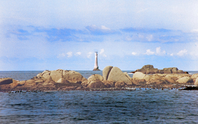
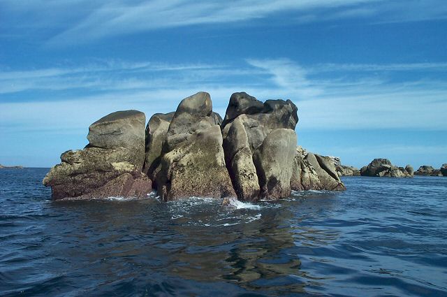
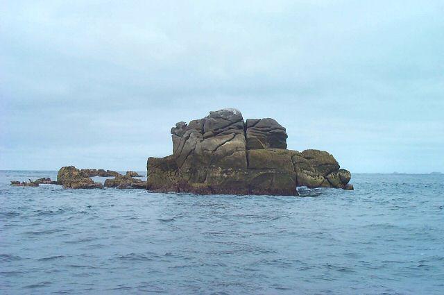
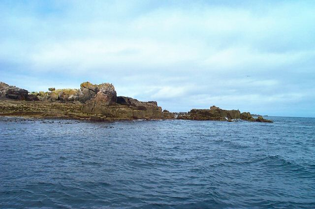
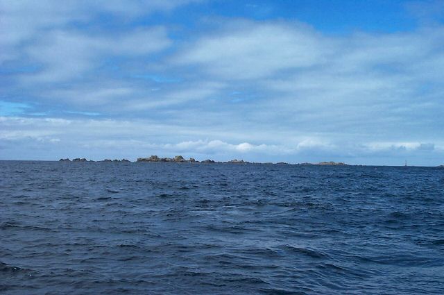
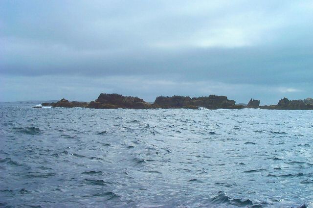
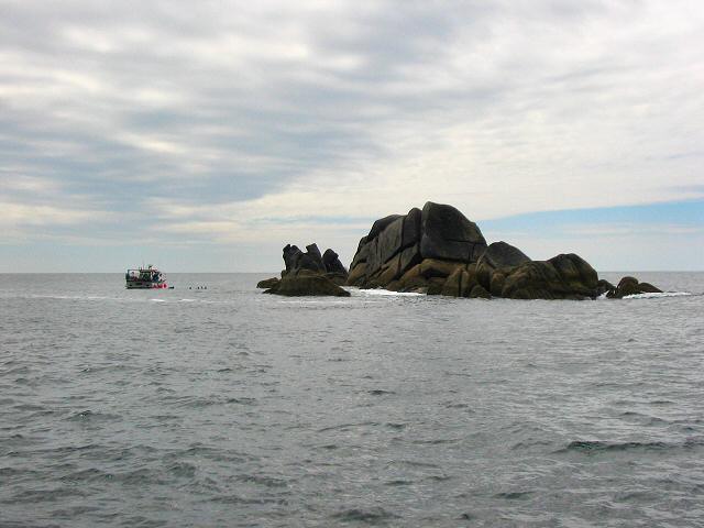
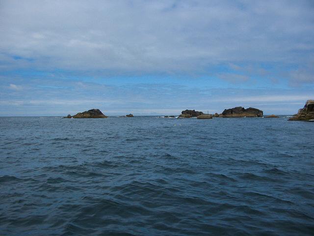
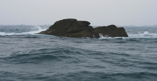
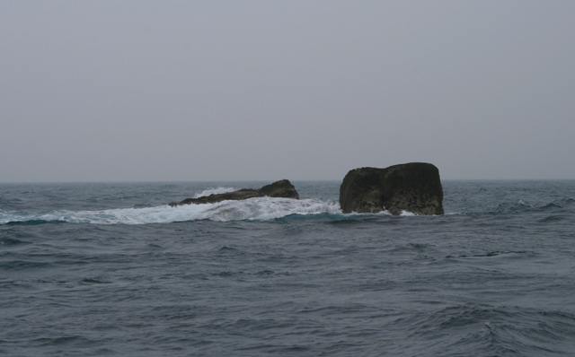
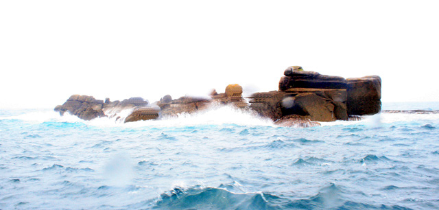
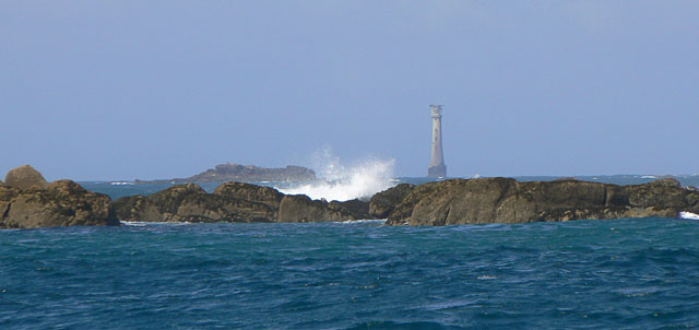
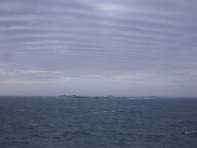
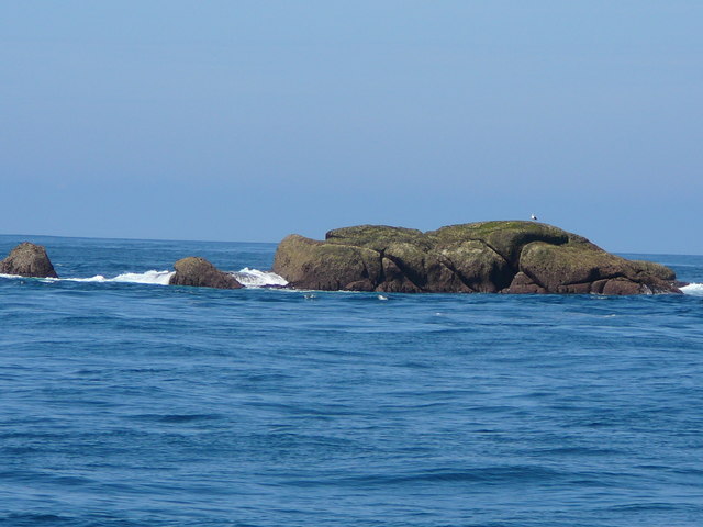
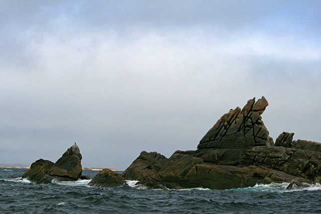
Dry Splat is a small island located off the coast of Cornwall, England. With an area of approximately 0.5 hectares, it is one of the smallest islands in the region. The island is situated in the Celtic Sea, about 300 meters from the mainland. It is primarily composed of rocky terrain, with no significant vegetation or natural resources.
The name "Dry Splat" is believed to have originated from the Cornish language, with "splat" meaning a small, flat rock. This accurately describes the island's topography, as it is mostly flat and rocky. Due to its size and lack of amenities, Dry Splat is uninhabited and does not support any permanent structures or facilities.
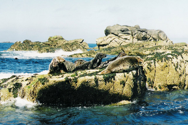
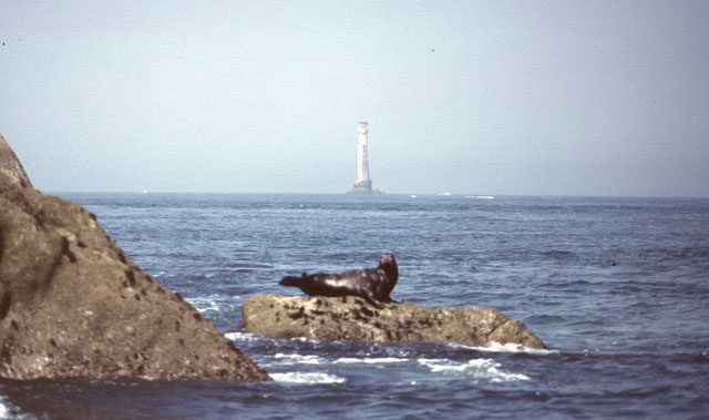
Although the island is not accessible to the public, it has become a popular destination for birdwatchers and nature enthusiasts. The surrounding waters are home to a variety of seabirds, including guillemots, razorbills, and puffins, making it an ideal spot for birdwatching. Additionally, seals can often be spotted resting on the rocks near the island.
Given its proximity to the mainland, Dry Splat is easily visible from the coast of Cornwall. It has become somewhat of a landmark for locals and tourists, adding to the unique charm of the area. However, due to its small size and lack of amenities, it is not recommended for landing or exploration.
If you have any feedback on the listing, please let us know in the comments section below.
Dry Splat Images
Images are sourced within 2km of 49.866326/-6.3984501 or Grid Reference SV8405. Thanks to Geograph Open Source API. All images are credited.

Dry Splat is located at Grid Ref: SV8405 (Lat: 49.866326, Lng: -6.3984501)
Division: Isles of Scilly
Unitary Authority: Isles of Scilly
Police Authority: Devon and Cornwall
What 3 Words
///refer.policy.revisit. Near St Agnes, Isles of Scilly
Nearby Locations
Related Wikis
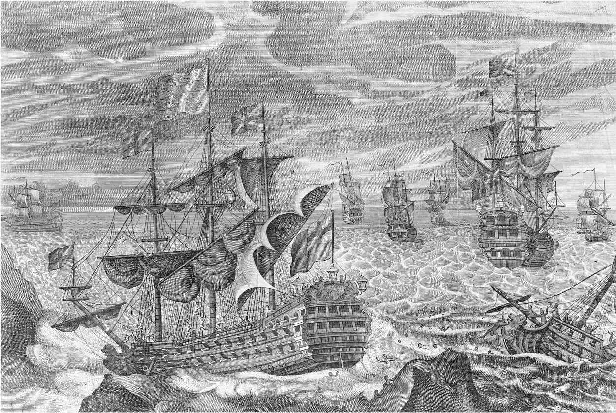
Scilly naval disaster of 1707
The Scilly naval disaster of 1707 was the loss of four warships of a Royal Navy fleet off the Isles of Scilly in severe weather on 22 October 1707. Between...

Rosevear
Rosevear (Cornish: Ros Veur "great promontory") is the largest (0.63 hectares (1.6 acres)) of the group of rocks known as the Western Rocks, Isles of Scilly...

Pednathise Head
Pednathise Head is a skerry that is the southernmost point of England, the United Kingdom, and the British Isles if the Channel Islands are excluded. It...

Western Rocks, Isles of Scilly
The Western Rocks (Cornish: Karregi Gorlewen) are a group of uninhabited skerries and rocks in the south–western part of the Isles of Scilly, United Kingdom...
Have you been to Dry Splat?
Leave your review of Dry Splat below (or comments, questions and feedback).