Sgeir a' Bhàt

Island in Inverness-shire

Scotland

Sgeir a' Bhàt

Tidal rock near Cleit Steiseigh
Tidal rock near Cleit Steiseigh Credit: Toby Speight

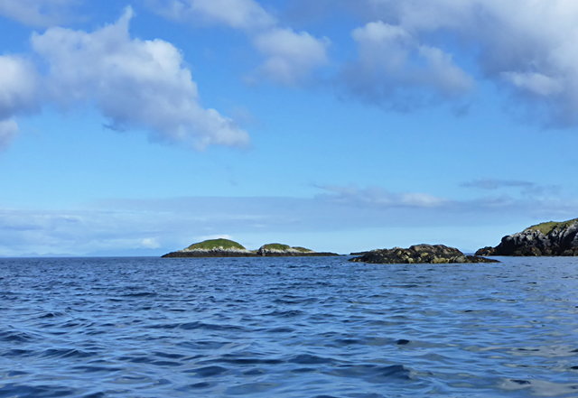
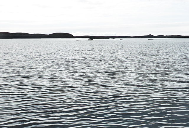
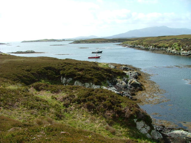
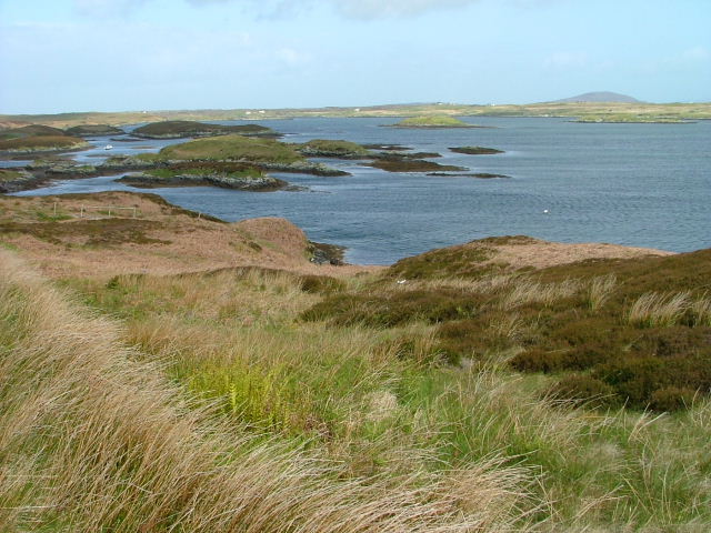
Sgeir a' Bhàt is a small uninhabited island located in the Inner Hebrides of Scotland, specifically in the county of Inverness-shire. The island is situated off the west coast of Scotland, in the Sound of Mull, near the entrance to Loch Sunart. It is part of a cluster of islands known as the Garvellachs.

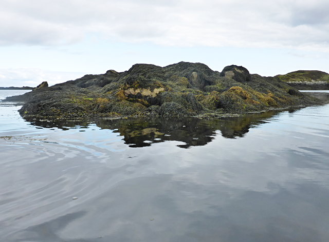
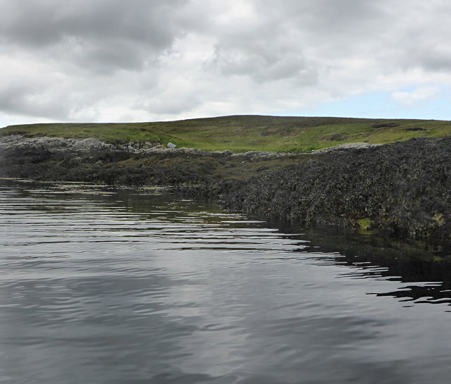
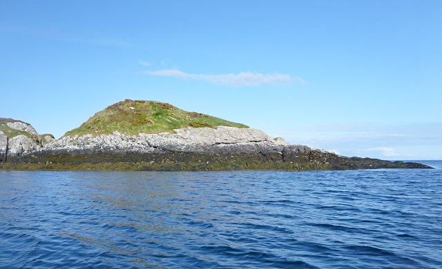
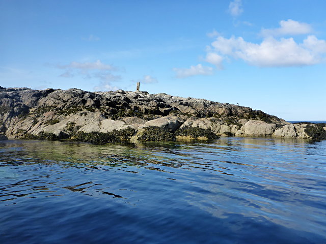
Covering an area of approximately 4 hectares, Sgeir a' Bhàt is a rocky island with no vegetation. Its name translates to "rock of the boat" in English, which accurately describes its rugged and barren landscape. The island is formed by ancient volcanic activity, which is evident in the basalt rock formations found throughout.

Due to its remote location and lack of amenities, Sgeir a' Bhàt is not accessible to the general public. However, it is a popular destination for wildlife enthusiasts and birdwatchers, as it serves as a breeding ground for various seabird species, including razorbills, guillemots, and puffins. Additionally, seals can often be spotted basking on the rocks surrounding the island.

The island's historical significance is also notable. It is believed to have been a site of Christian worship in the early medieval period, as evidenced by the presence of a ruined chapel and a stone cross. These structures are thought to date back to the 7th or 8th century and provide insight into the religious practices of the time.

Overall, Sgeir a' Bhàt is a remote and uninhabited island with a rich natural and historical heritage, making it an intriguing destination for those seeking to explore the wild beauty of the Scottish coastline.

If you have any feedback on the listing, please let us know in the comments section below.

Sgeir a' Bhàt Images

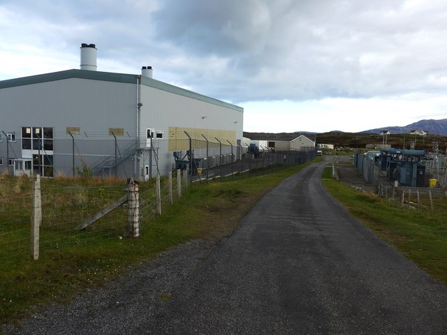
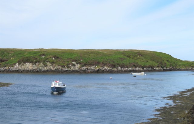
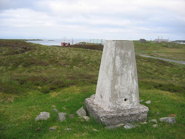
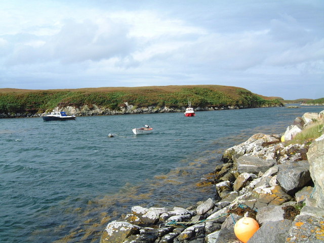
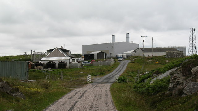
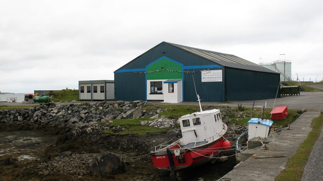
Images are sourced within 2km of 57.376003/-7.2530475 or Grid Reference NF8443. Thanks to Geograph Open Source API. All images are credited.

Tidal rock near Cleit Steiseigh
Cràraigh Mhor
Cràraigh Mhor
Eilean a' Geòidh Gasaidh is visible on the extreme right.
Eilean a' Geòidh
Gasaidh is visible on the extreme right.
Eilean a' Mhadaidh
Eilean a' Mhadaidh
Sgeir Mhic Iamain There's a concrete pillar on top of this islet.  I can't be sure, but it's likely that it's a former navigation aid.  There's also an oystercatcher - I'm more sure of that, and it hasn't stayed as long.
Sgeir Mhic Iamain
There's a concrete pillar on top of this islet. I can't be sure, but it's likely that it's a former navigation aid. There's also an oystercatcher - I'm more sure of that, and it hasn't stayed as long.
Steiseigh and nearby rocks This is a wide, shallow sea, with a big difference in what's visible at high and low tide.  Here, we're somewhere between the two, and a few rocks are already showing.
Steiseigh and nearby rocks
This is a wide, shallow sea, with a big difference in what's visible at high and low tide. Here, we're somewhere between the two, and a few rocks are already showing.
Loch Carnan no. 1 port-side channel buoy This is the most seaward of the marker buoys for Loch Carnan (excepting <a href="https://www.geograph.org.uk/photo/4974591">NF8843 : Loch nan Carnan Landfall Buoy</a>).  There are 4 port buoys and 2 starboard, with Port no. 2 and Starboard no. 1 paired.
Loch Carnan no. 1 port-side channel buoy
This is the most seaward of the marker buoys for Loch Carnan (excepting NF8843 : Loch nan Carnan Landfall Buoy). There are 4 port buoys and 2 starboard, with Port no. 2 and Starboard no. 1 paired.
Certas Energy fuel depot on South Uist Small fuel tankers call here.  The site is owned by MoD and leased to Certas Energy.
Certas Energy fuel depot on South Uist
Small fuel tankers call here. The site is owned by MoD and leased to Certas Energy.
Loch Carnan Power Station Commissioned in 1971;  diesel powered and with a capacity of 11.8MW
Loch Carnan Power Station
Commissioned in 1971; diesel powered and with a capacity of 11.8MW
Small boats at rest, Port Pheadair Small boats at anchor in the channel between Eilean na Cille and Fodragaigh. Would I be able to add the latter island to my growing list of island 'bags'? Not with the tide coming in and areas of exposed slippery rocks covered in weed.
Small boats at rest, Port Pheadair
Small boats at anchor in the channel between Eilean na Cille and Fodragaigh. Would I be able to add the latter island to my growing list of island 'bags'? Not with the tide coming in and areas of exposed slippery rocks covered in weed.
Lochcarnan Beyond the trigpoint the background includes a fish processing plant and the Uist's diesel fired power station. The square relevant part is the single track road running through acid soiled grazing on the rugged east coast of South Uist.
Lochcarnan
Beyond the trigpoint the background includes a fish processing plant and the Uist's diesel fired power station. The square relevant part is the single track road running through acid soiled grazing on the rugged east coast of South Uist.
Port Pheadair Fodragaigh and sheltered moorings at the end of the B891, south-east Benbecula.
Port Pheadair
Fodragaigh and sheltered moorings at the end of the B891, south-east Benbecula.
Port Pheadair At Fodragaigh.
Port Pheadair
At Fodragaigh.
Pier Port Pheadair.
Pier
Port Pheadair.
Islands off Port Pheadair From Eilean na Cille.
Islands off Port Pheadair
From Eilean na Cille.
Sandavaig Quayside Small port facility on the NE coast of South Uist.
Sandavaig Quayside
Small port facility on the NE coast of South Uist.
Sandavaig Power Station Small power station close to the shore, generating power from diesel fuel which is supplied from Grangemouth.
Sandavaig Power Station
Small power station close to the shore, generating power from diesel fuel which is supplied from Grangemouth.
Smoked salmon factory at Sandavaig. For those who like salmon, there is a very interesting smell as one passes this small factory.
Smoked salmon factory at Sandavaig.
For those who like salmon, there is a very interesting smell as one passes this small factory.
Show me another place!

Sgeir a' Bhàt is located at Grid Ref: NF8443 (Lat: 57.376003, Lng: -7.2530475)

Unitary Authority: Na h-Eileanan an Iar

Police Authority: Highlands and Islands

What 3 Words

///structure.client.padlock. Near Balivanich, Na h-Eileanan Siar

Related Wikis

Eilean na Cille

Eilean na Cille, south east of Benbecula is an island of the Outer Hebrides connected to Grimsay (South) by a causeway which carries the B891. The road...

Grimsay (South East Benbecula)

Grimsay, south east of Benbecula is a tidal island of the Outer Hebrides. It is connected to Benbecula by a causeway which carries the B891. In the 2001...

Wiay, Outer Hebrides

Wiay (Scottish Gaelic: Bhuia or Fuidheigh) is an uninhabited island in the Outer Hebrides. It lies south-east of Benbecula and measures approximately...

Eileanan Chearabhaigh

Eileanan Chearabhaigh is a collection of small uninhabited tidal islands off the south east coast of Benbecula in the Outer Hebrides of Scotland. The English...

Have you been to Sgeir a' Bhàt?

Leave your review of Sgeir a' Bhàt below (or comments, questions and feedback).