Calbhaigh
Island in Inverness-shire
Scotland
Calbhaigh
The requested URL returned error: 429 Too Many Requests
If you have any feedback on the listing, please let us know in the comments section below.
Calbhaigh Images
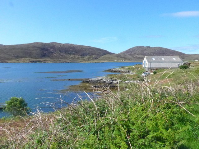
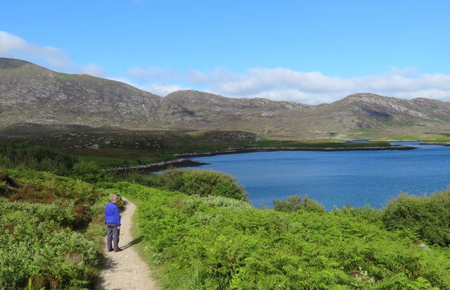
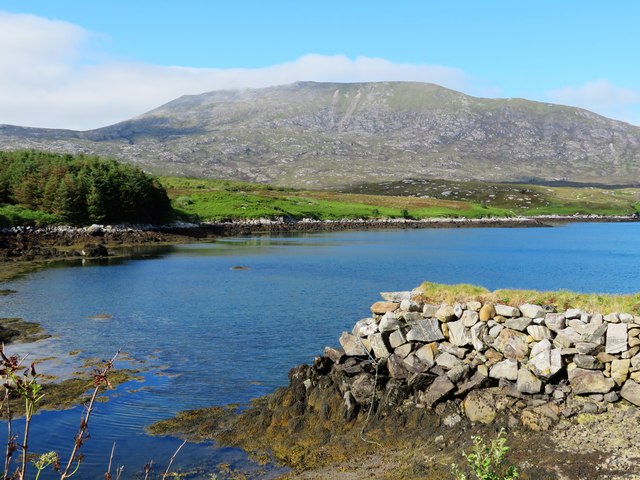
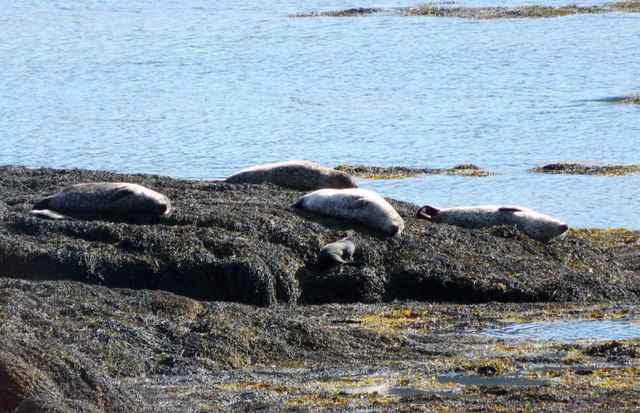
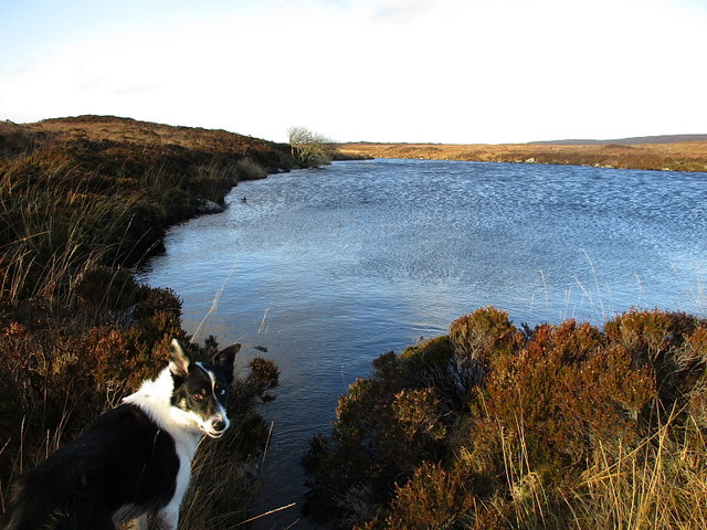
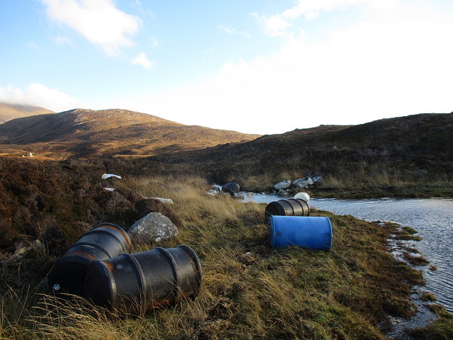
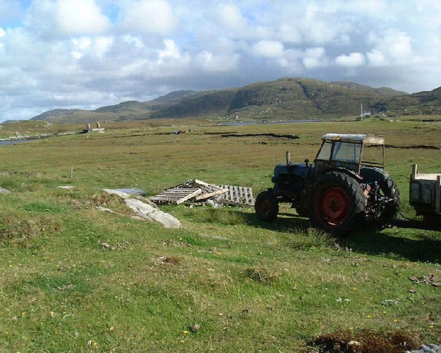
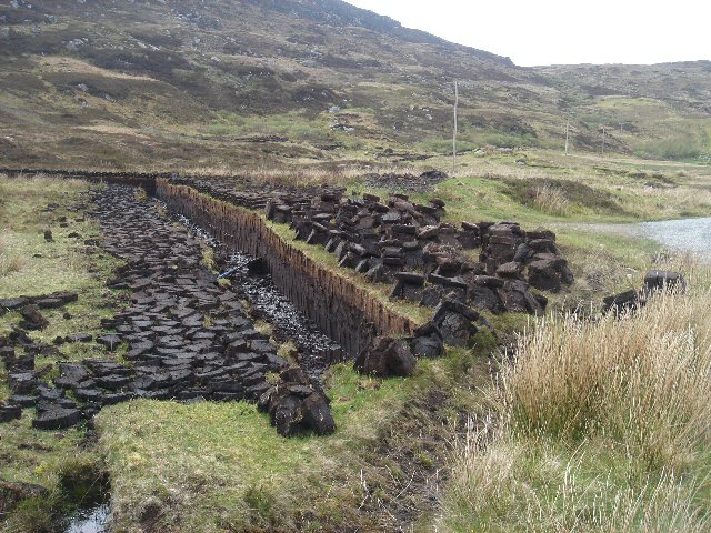
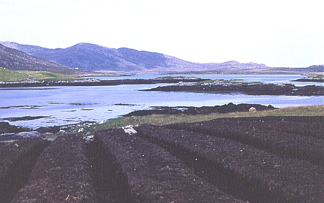
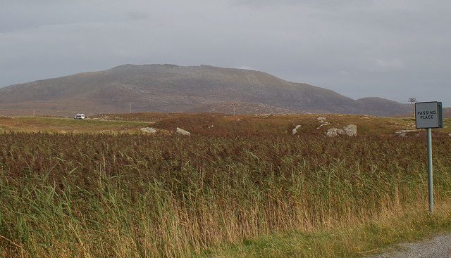
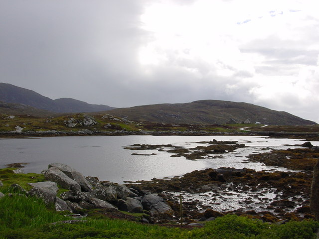
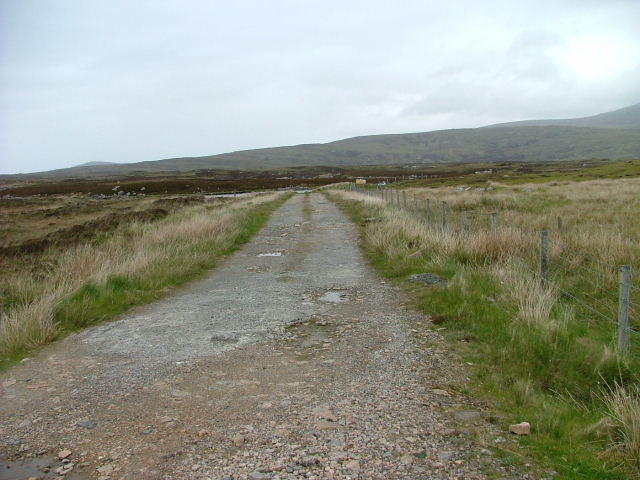
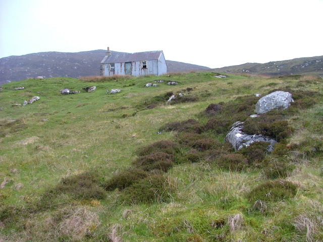
Images are sourced within 2km of 57.234178/-7.3508312 or Grid Reference NF7728. Thanks to Geograph Open Source API. All images are credited.
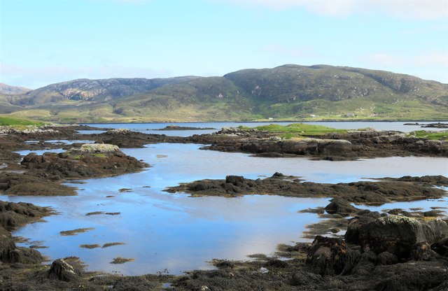
![Small boats, Loch Aineort Loch Aineort runs halfway across South Uist with a sheltered entrance from the Minch. The view is across the loch towards Stulabhal [374m] which is the highest of the hills in this shot.](https://s2.geograph.org.uk/geophotos/06/21/24/6212458_678f7b1b.jpg)
Calbhaigh is located at Grid Ref: NF7728 (Lat: 57.234178, Lng: -7.3508312)
Unitary Authority: Na h-Eileanan an Iar
Police Authority: Highlands and Islands
What 3 Words
///aviation.mailer.digitally. Near Lochboisdale, Na h-Eileanan Siar
Nearby Locations
Related Wikis

Bornish
Bornish (Scottish Gaelic: Bòrnais) is a village and community council area on South Uist in the Outer Hebrides, Scotland. Bornish is also within the civil...

Milton (South Uist)
Milton (Scottish Gaelic: Geàrraidh Bhailteas) is the name of a tack or tenant farm on the island of South Uist in the Outer Hebrides, Scotland. It was...

South Uist
South Uist (Scottish Gaelic: Uibhist a Deas, [ˈɯ.ɪʃtʲ ə ˈtʲes̪] ; Scots: Sooth Uist) is the second-largest island of the Outer Hebrides in Scotland. At...

Beinn Mhòr (South Uist)
Beinn Mhòr is a mountain on the island of South Uist in the Outer Hebrides of Scotland. With a height of 620 metres (2,034 ft), it is the highest point...
Nearby Amenities
Located within 500m of 57.234178,-7.3508312Have you been to Calbhaigh?
Leave your review of Calbhaigh below (or comments, questions and feedback).