Bharanais

Island in Inverness-shire

Scotland

Bharanais

Loch nan Geadh
Loch nan Geadh Credit: Alpin Stewart

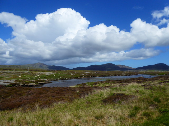
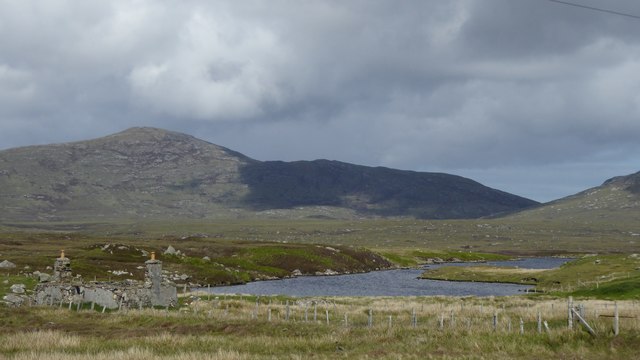
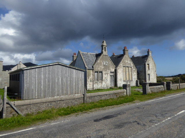
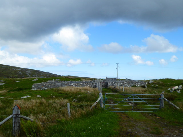
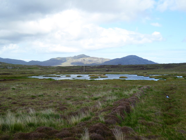
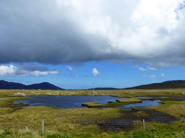
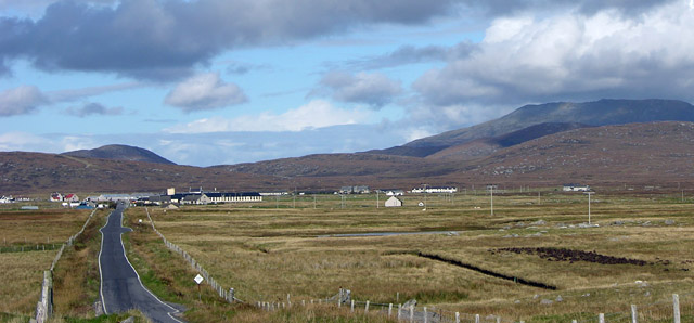
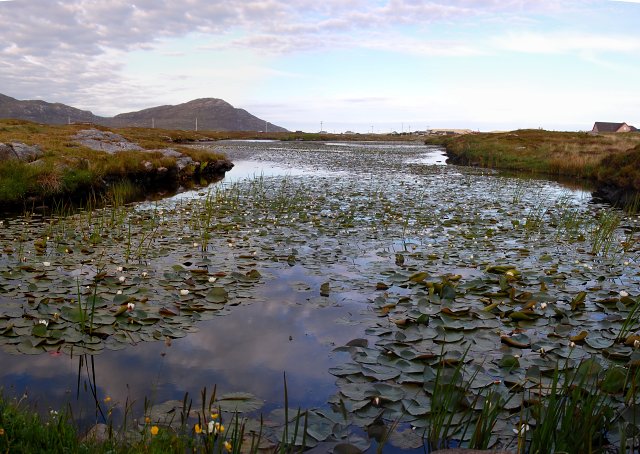
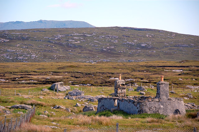
Bharanais, located in Inverness-shire in Scotland, is a small island in the Outer Hebrides archipelago. The island is known for its rugged and picturesque landscape, with rocky cliffs, sandy beaches, and rolling hills. Bharanais is home to a small population of residents, who mainly rely on fishing and agriculture for their livelihood.

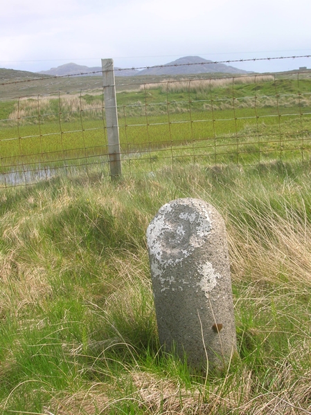
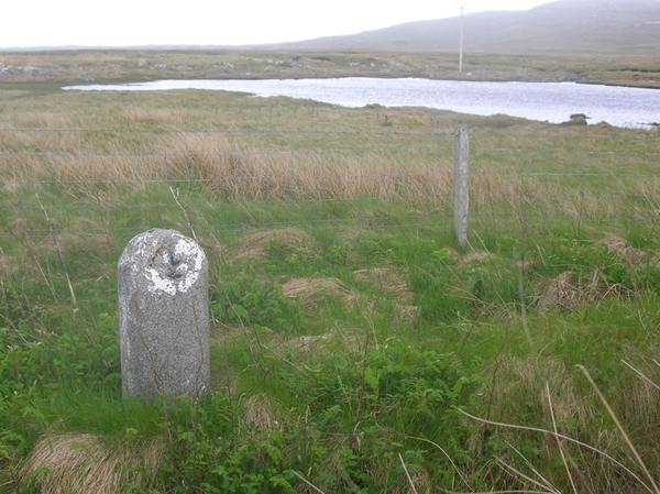
The island is also a popular destination for tourists seeking a peaceful and remote getaway. Visitors can explore the island's historic sites, such as the ancient standing stones and ruins of old settlements. The surrounding waters offer opportunities for fishing, kayaking, and wildlife watching, with seals, otters, and seabirds commonly spotted in the area.

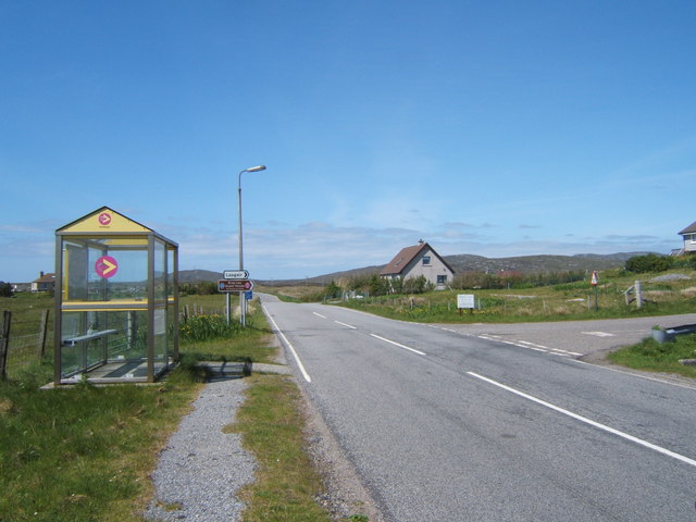
Bharanais is accessible by boat from the mainland, with regular ferry services connecting the island to the port of Mallaig. Once on the island, visitors can explore on foot or by bike, taking in the stunning natural beauty and tranquility that Bharanais has to offer. Whether looking for outdoor adventure or a quiet retreat, Bharanais is a hidden gem waiting to be discovered.

If you have any feedback on the listing, please let us know in the comments section below.
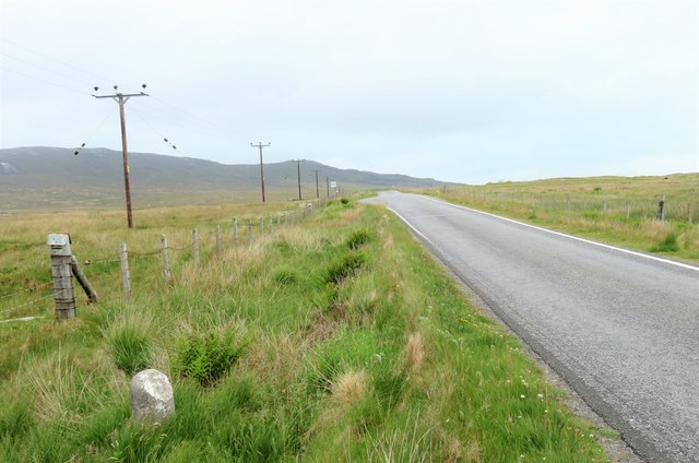
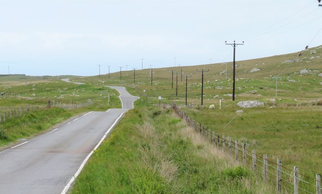
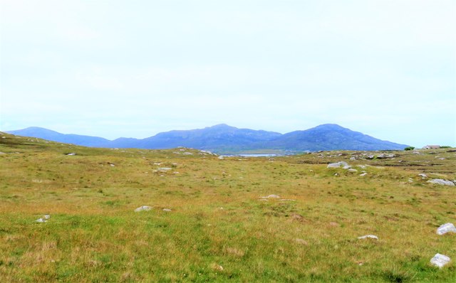
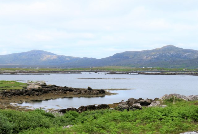
Bharanais Images

Images are sourced within 2km of 57.147431/-7.3422904 or Grid Reference NF7718. Thanks to Geograph Open Source API. All images are credited.

Loch nan Geadh
Loch nan Geadh
Ruin by Loch a' Bharp
Old school at Lochboisdale
Fank at Càireasbhal
Fank at Càireasbhal
Dubh-lochan, a small moorland loch
Lochan Dubh nan Caorach
Royal Mail road transport workshop, Lochboisdale
Old Milestone by the B888, by crossroads, in South Uist Parish Granite column by the B888, in parish of South Uist (South Uist District), 100m South of crossroads for roads to North Boisdale and South Lochboisdale, on verge.

Inscription reads:- : 5 : (To Lochboisdale Pier) 

Surveyed

Milestone Society National ID: WI_SULBS05
Old Milestone by the B888, by crossroads, in South Uist Parish
Granite column by the B888, in parish of South Uist (South Uist District), 100m South of crossroads for roads to North Boisdale and South Lochboisdale, on verge. Inscription reads:- : 5 : (To Lochboisdale Pier) Surveyed Milestone Society National ID: WI_SULBS05
Old Milestone by the B888, Lochan Dubh nan Caorach, South Uist Granite column by the B888, in parish of South Uist (South Uist District), South of junction to Kilpheder, on straight near Passing Place, by lochan.

Inscription reads:-
4
(To Lochboisdale Pier)

Surveyed

Milestone Society National ID: WI_SULBS04
Old Milestone by the B888, Lochan Dubh nan Caorach, South Uist
Granite column by the B888, in parish of South Uist (South Uist District), South of junction to Kilpheder, on straight near Passing Place, by lochan. Inscription reads:- 4 (To Lochboisdale Pier) Surveyed Milestone Society National ID: WI_SULBS04
Milestone by the B888 A rather basic milestone with no discernible inscription. Looking south along the road to Eriskay.
Milestone by the B888
A rather basic milestone with no discernible inscription. Looking south along the road to Eriskay.
North along the B888 The main spine road running south to north along South Uist. The B888 becomes the A865 from the junction at Daliburgh.
North along the B888
The main spine road running south to north along South Uist. The B888 becomes the A865 from the junction at Daliburgh.
Rough grazing on the slopes of Carrisaval Looking north of east across some rather uninspiring rough grassland with a sliver of water in the distance and the hills to the north east of Lochboisdale on the horizon.
Rough grazing on the slopes of Carrisaval
Looking north of east across some rather uninspiring rough grassland with a sliver of water in the distance and the hills to the north east of Lochboisdale on the horizon.
Poll Creadha Small inlet on the fretted coastline near Lochboisdale.
Poll Creadha
Small inlet on the fretted coastline near Lochboisdale.
Old school at Lochboisdale This former school is now empty and boarded up. What a pity that so many lovely buildings are allowed to crumble.
Old school at Lochboisdale
This former school is now empty and boarded up. What a pity that so many lovely buildings are allowed to crumble.
Daliburgh School from the south, on B888 Beinn Mhor, highest hill in South Uist, in background. The school is one of the largest buildings in this small village.
Daliburgh School from the south, on B888
Beinn Mhor, highest hill in South Uist, in background. The school is one of the largest buildings in this small village.
Water Lilies in Loch nan Geadh This narrow loch runs parallel to the Lochboisdale to Daliburgh road for a kilometre. It seems the less open the loch the more likely it is to be colonised by lilies.
Water Lilies in Loch nan Geadh
This narrow loch runs parallel to the Lochboisdale to Daliburgh road for a kilometre. It seems the less open the loch the more likely it is to be colonised by lilies.
South Uist ruin, near Lochboisdale road A common sight in Uist, a house with no roof. The chimney breasts are still in good condition. A similar house nearby has had its roof replaced by corrugated iron, and is used as a hay store. The ridge of Beinn Mhor is in the background.
South Uist ruin, near Lochboisdale road
A common sight in Uist, a house with no roof. The chimney breasts are still in good condition. A similar house nearby has had its roof replaced by corrugated iron, and is used as a hay store. The ridge of Beinn Mhor is in the background.
Road to Lasgair Lasgair is a village to the north of the A865, near Lochboisdale.
Road to Lasgair
Lasgair is a village to the north of the A865, near Lochboisdale.
Show me another place!

Bharanais is located at Grid Ref: NF7718 (Lat: 57.147431, Lng: -7.3422904)

Unitary Authority: Na h-Eileanan an Iar

Police Authority: Highlands and Islands

What 3 Words

///client.revisits.lorry. Near Lochboisdale, Na h-Eileanan Siar

Related Wikis

Papar

The Papar (Icelandic pronunciation: [ˈpʰaːpar̥]; from Latin papa, via Old Irish, meaning "father" or "pope") were, according to early Icelandic sagas,...

Eileanan Iasgaich

Na h-Eileanan Iasgaich comprise a small uninhabited archipelago in Loch Boisdale, in the south east of the island of South Uist, in the Outer Hebrides...

Lochboisdale

Lochboisdale (Scottish Gaelic: Loch Baghasdail [ɫ̪ɔx ˈbɤːs̪t̪ɪl]) is the main village and port on the island of South Uist, Outer Hebrides, Scotland. Lochboisdale...

Auratote

Auratote (Scottish Gaelic: Oratobht) is a location on South Uist in the Outer Hebrides, Scotland. Auratote is within the parish of South Uist. == References... ==

Nearby Amenities

Located within 500m of 57.147431,-7.3422904
Turning Circle
Lat/Long: 57.1466326/-7.3443212
Power: pole
Lat/Long: 57.1470166/-7.3503266
Power: pole
Lat/Long: 57.1464215/-7.3498626
Power: pole
Lat/Long: 57.1459384/-7.3494951
Power: pole
Lat/Long: 57.1452036/-7.3489238
Barrier: cattle_grid
Lat/Long: 57.1466118/-7.3441813
Power: pole
Lat/Long: 57.1446506/-7.3485081
Bharanais
Natural: cape
Lat/Long: 57.1483063/-7.3433593
Àirigh Bharanais
Name En: Airigh Varrinish
Name Gd: Àirigh Bharanais
Place: isolated_dwelling
Lat/Long: 57.1460714/-7.3434451
Passing Place
Lat/Long: 57.1491691/-7.348985
Passing Place
Lat/Long: 57.1471317/-7.3465891
The data included in this document is from www.openstreetmap.org. The data is made available under ODbL.

Have you been to Bharanais?

Leave your review of Bharanais below (or comments, questions and feedback).