Lochliboside Hills

Range Of Mountains, Range Of Hills in Renfrewshire

Scotland

Lochliboside Hills

Uplawmoor Hotel
Uplawmoor Hotel Credit: Josie Campbell

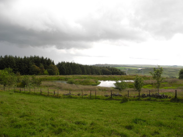
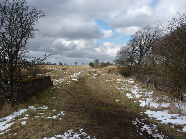
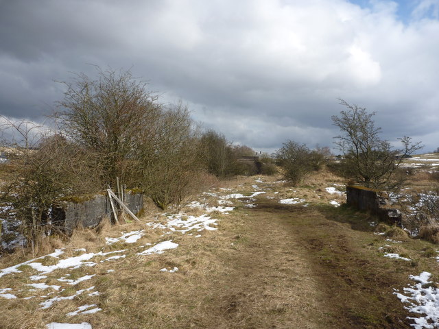
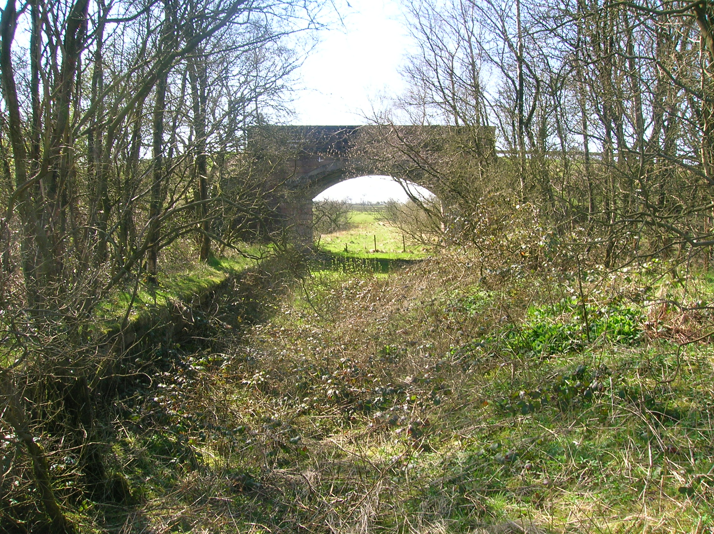
Lochliboside Hills, located in Renfrewshire, Scotland, is a range of hills that stretches across a vast area of the region. These hills are a prominent geological feature, offering picturesque landscapes and breathtaking views.

The Lochliboside Hills are characterized by their undulating terrain, consisting of a series of peaks and valleys. The highest point in the range reaches an elevation of approximately 450 meters (1476 feet), providing visitors with stunning panoramic vistas of the surrounding countryside.

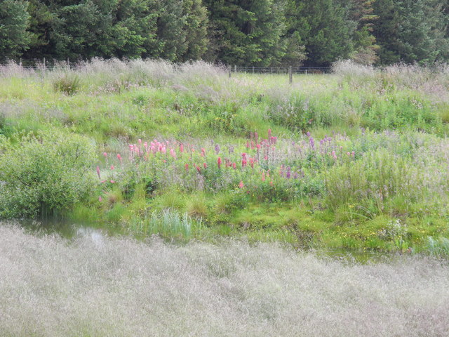
The hills are covered in a variety of vegetation, including heather, grasses, and scattered woodland areas. This diverse flora attracts a wide range of wildlife, making the area an ideal spot for nature enthusiasts and bird watchers.

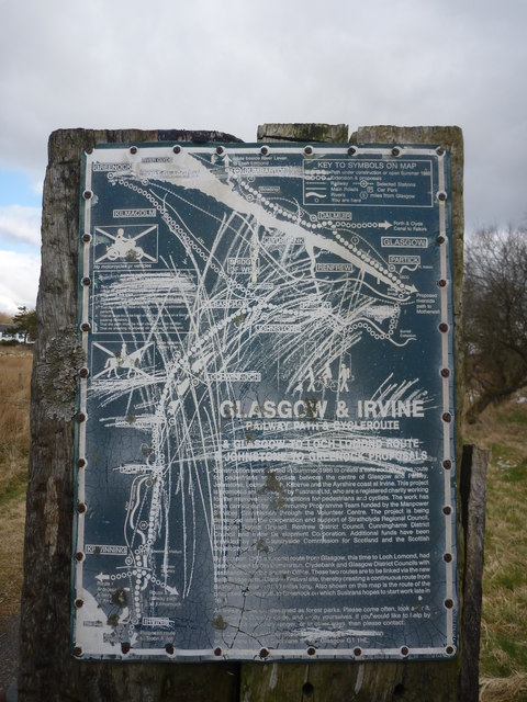
Numerous walking trails and paths crisscross the Lochliboside Hills, offering visitors the opportunity to explore the area on foot. These trails vary in difficulty, catering to both novice hikers and experienced adventurers. Along the way, hikers may encounter ancient ruins, such as stone circles or burial cairns, adding a touch of historical intrigue to the natural beauty.

The Lochliboside Hills are also a popular destination for outdoor activities such as mountain biking and horseback riding. The rugged terrain and scenic routes make for an exciting and thrilling experience for enthusiasts of these pursuits.

Overall, Lochliboside Hills in Renfrewshire is a captivating and enchanting range of hills. Its natural beauty, diverse flora and fauna, and recreational opportunities make it a must-visit destination for those seeking an immersive outdoor experience in Scotland.

If you have any feedback on the listing, please let us know in the comments section below.

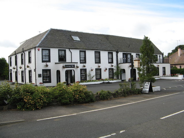
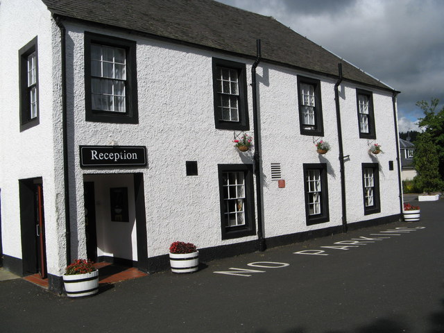
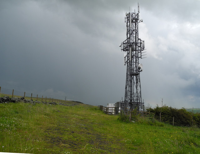
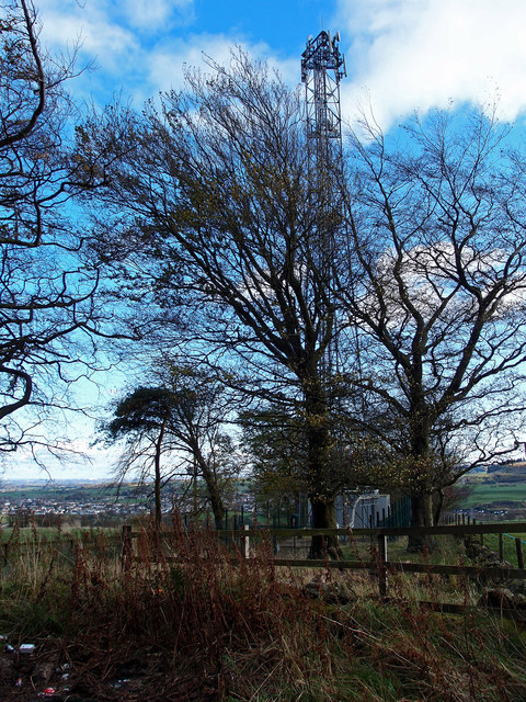
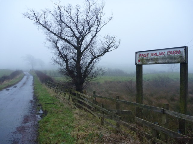
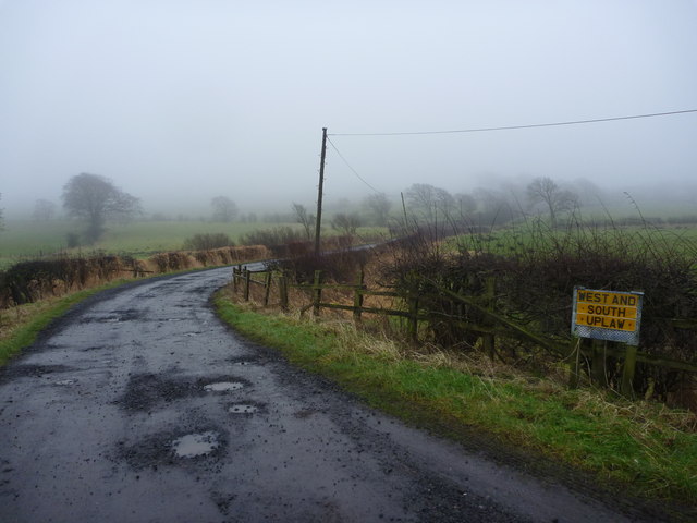
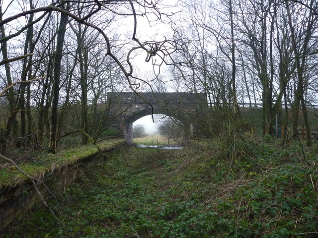
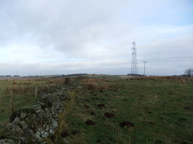
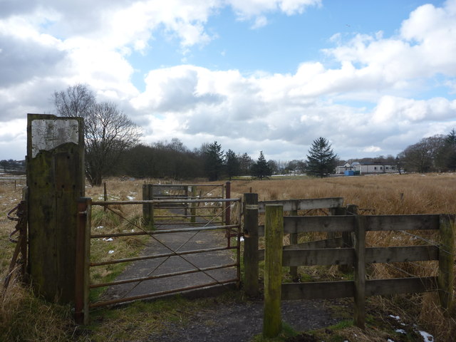
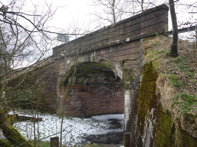
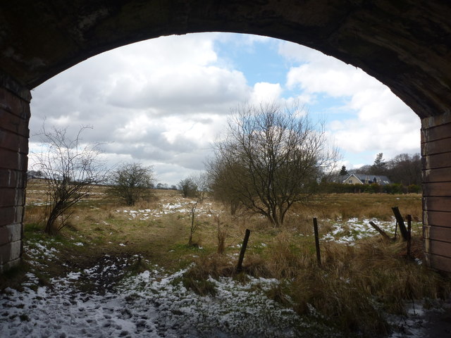
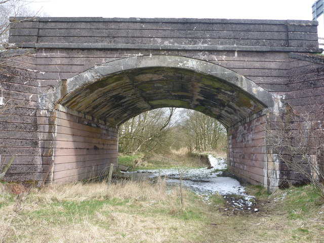
Lochliboside Hills Images

Images are sourced within 2km of 55.778883/-4.4818577 or Grid Reference NS4456. Thanks to Geograph Open Source API. All images are credited.

Uplawmoor Hotel
Uplawmoor Hotel
Uplawmoor Hotel Side view of reception area
Uplawmoor Hotel
Side view of reception area
Uplawmoor Hotel The restaurant
Uplawmoor Hotel
The restaurant
Lochan beside Corkindale Law A summer view of the lochan, though on a miserable day.
Lochan beside Corkindale Law
A summer view of the lochan, though on a miserable day.
Island in lochan Wondered what the flowers were on island in lochan - zoomed in - they turned out to be lupins!
Island in lochan
Wondered what the flowers were on island in lochan - zoomed in - they turned out to be lupins!
Communications mast above Finniebrae
Communications Mast Beside the minor road on Lochliboside Hills. Neilston through the trees.
Communications Mast
Beside the minor road on Lochliboside Hills. Neilston through the trees.
Rural East Renfrewshire : East Uplaw Road-end A dreich morning near Uplawmoor.
Rural East Renfrewshire : East Uplaw Road-end
A dreich morning near Uplawmoor.
Rural East Renfrewshire : West and South Uplaw Road-end East Renfrewshire may have some excellent schools but many of the roads in this rural district are in an appalling condition.
Rural East Renfrewshire : West and South Uplaw Road-end
East Renfrewshire may have some excellent schools but many of the roads in this rural district are in an appalling condition.
Rural East Renfrewshire : Uplawmoor Station
Tri pillar in the wall, Foreside
Rural East Renfrewshire : Gates On The Castburn Path, Uplawmoor
Rural East Renfrewshire : Aged And Worn Sign On The Castburn Path, Uplawmoor This sign appears to date from the late 1980's and describes the "Glasgow and Irvine Railway Path and Cycleroute", a route that is a good few miles to the west of this location.
Rural East Renfrewshire : Aged And Worn Sign On The Castburn Path, Uplawmoor
This sign appears to date from the late 1980's and describes the "Glasgow and Irvine Railway Path and Cycleroute", a route that is a good few miles to the west of this location.
Rural East Renfrewshire : Tannoch Road Railway Bridge, Uplawmoor Station This bridge, at the southern end of the derelict platforms of the long-closed Uplawmoor station, carries Tannoch Road over the former Caledonian Railway line from Glasgow and Lanarkshire to the Ayrshire port of Ardrossan.
Rural East Renfrewshire : Tannoch Road Railway Bridge, Uplawmoor Station
This bridge, at the southern end of the derelict platforms of the long-closed Uplawmoor station, carries Tannoch Road over the former Caledonian Railway line from Glasgow and Lanarkshire to the Ayrshire port of Ardrossan.
Rural East Renfrewshire : South From Uplawmoor Station Standing underneath the Tannoch Road bridge, looking SW along the trackbed of the ex-Caledonian Railway line from Glasgow and Lanarkshire to the Ayrshire port of Ardrossan.
Rural East Renfrewshire : South From Uplawmoor Station
Standing underneath the Tannoch Road bridge, looking SW along the trackbed of the ex-Caledonian Railway line from Glasgow and Lanarkshire to the Ayrshire port of Ardrossan.
Rural East Renfrewshire : Tannoch Road Bridge and Uplawmoor Station Standing on the trackbed of the former Caledonian Railway line to Ardrossan, looking under the Tannoch Road bridge to the platform ends of the long demolished station at Uplawmoor.
Rural East Renfrewshire : Tannoch Road Bridge and Uplawmoor Station
Standing on the trackbed of the former Caledonian Railway line to Ardrossan, looking under the Tannoch Road bridge to the platform ends of the long demolished station at Uplawmoor.
Northern East Ayrshire : Small Parapets South of Uplawmoor Heading southwest from Uplawmoor on the old Caledonian Railway line.
Northern East Ayrshire : Small Parapets South of Uplawmoor
Heading southwest from Uplawmoor on the old Caledonian Railway line.
Northern East Ayrshire : Approaching The Boundary The narrow stream that flows under the trackbed between those parapets forms the boundary between East Ayrshire and East Renfrewshire.

The bridge in the distance is at the old Uplawmoor station in East Renfrewshire.
Northern East Ayrshire : Approaching The Boundary
The narrow stream that flows under the trackbed between those parapets forms the boundary between East Ayrshire and East Renfrewshire. The bridge in the distance is at the old Uplawmoor station in East Renfrewshire.
Show me another place!

Lochliboside Hills is located at Grid Ref: NS4456 (Lat: 55.778883, Lng: -4.4818577)

Unitary Authority: East Renfrewshire

Police Authority: Greater Glasgow

What 3 Words

///loses.establish.broadcast. Near Neilston, East Renfrewshire

Related Wikis

Shillford

Shillford or Shilford is a hamlet to the south-west of Barrhead on the Lochlibo Road in East Renfrewshire near Uplawmoor, Scotland in the parish of Neilston...

Loch Libo

Loch Libo is a freshwater loch in East Renfrewshire, Parish of Neilston, Scotland. The Lugton Water has its source from the southern end of loch, running...

Uplawmoor

Uplawmoor is a village in East Renfrewshire, Scotland. Its population was 700 as of 2016. Historic Uplawmoor, associated for centuries with the Barony...

Uplawmoor (L&A) railway station

Uplawmoor railway station was a railway station serving the village of Uplawmoor, East Renfrewshire, Scotland as part of the Lanarkshire and Ayrshire Railway...

Uplawmoor (GB&K) railway station

Uplawmoor railway station was a railway station near the village of Uplawmoor, East Renfrewshire, Scotland. The station was originally part of the Glasgow...

Neilston Low railway station

Neilston Low railway station was a railway station serving the town of Neilston, East Renfrewshire, Scotland. The station was originally part of the Glasgow...

Neilston F.C.

Neilston Football Club are a Scottish football club based in Neilston, East Renfrewshire who currently play in the West of Scotland League First Division...

Craighall Reservoir

Craighall Reservoir, known locally as Craighall Dam, is one of a number of small reservoirs, situated around Neilston in East Renfrewshire, Scotland. The...

Nearby Amenities

Located within 500m of 55.778883,-4.4818577
Power: tower
Lat/Long: 55.7819212/-4.476022
Power: pole
Lat/Long: 55.7754373/-4.4792353
Power: pole
Lat/Long: 55.775881/-4.4804332
Power: pole
Lat/Long: 55.7762061/-4.4812658
Power: pole
Lat/Long: 55.7766099/-4.482399
Power: pole
Lat/Long: 55.7763516/-4.4839224
Power: pole
Lat/Long: 55.7761709/-4.4849574
Power: pole
Lat/Long: 55.7759784/-4.4861261
Power: pole
Lat/Long: 55.7757765/-4.4873031
Power: pole
Lat/Long: 55.776834/-4.4810133
Power: pole
Lat/Long: 55.7773058/-4.4798468
Power: pole
Lat/Long: 55.7776157/-4.4790412
Power: pole
Lat/Long: 55.7780805/-4.4778413
Power: pole
Lat/Long: 55.7784854/-4.4767958
Power: pole
Lat/Long: 55.7788574/-4.4758484
Power: pole
Lat/Long: 55.7794242/-4.4743563
The data included in this document is from www.openstreetmap.org. The data is made available under ODbL.

Have you been to Lochliboside Hills?

Leave your review of Lochliboside Hills below (or comments, questions and feedback).