Corkindale Law

Hill, Mountain in Renfrewshire

Scotland

Corkindale Law

Uplawmoor Hotel
Uplawmoor Hotel Credit: Josie Campbell

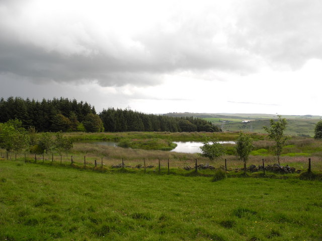
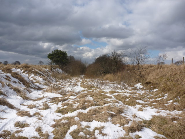
Corkindale Law is a prominent hill located in Renfrewshire, Scotland. Situated near the village of Lochwinnoch, it stands at an elevation of approximately 316 meters (1,037 feet) above sea level. The hill is part of the Clyde Muirshiel Regional Park, which spans over 100 square miles and is known for its stunning landscapes and diverse wildlife.

Corkindale Law offers breathtaking panoramic views of the surrounding countryside, including the nearby Lochwinnoch Loch and the rolling hills of Renfrewshire. Its distinctive shape and prominent position make it a popular destination for hikers, nature enthusiasts, and photographers who are drawn to its beauty and tranquility.

The hill is accessible via a network of well-maintained trails that wind through the surrounding woodlands and moorlands. These trails cater to a range of abilities, from leisurely strolls to more challenging hikes. Along the way, visitors may encounter a variety of wildlife, including red deer, birds of prey, and rare plant species.

Corkindale Law's significance extends beyond its natural beauty. It holds historical importance as well, with remnants of ancient settlements and burial sites dating back thousands of years. These archaeological features provide a glimpse into the area's rich cultural heritage and offer opportunities for exploration and discovery.

Whether for outdoor recreation, wildlife spotting, or historical exploration, Corkindale Law provides a captivating experience for visitors of all ages and interests. Its accessibility, natural charm, and cultural significance make it a cherished part of Renfrewshire's landscape.

If you have any feedback on the listing, please let us know in the comments section below.

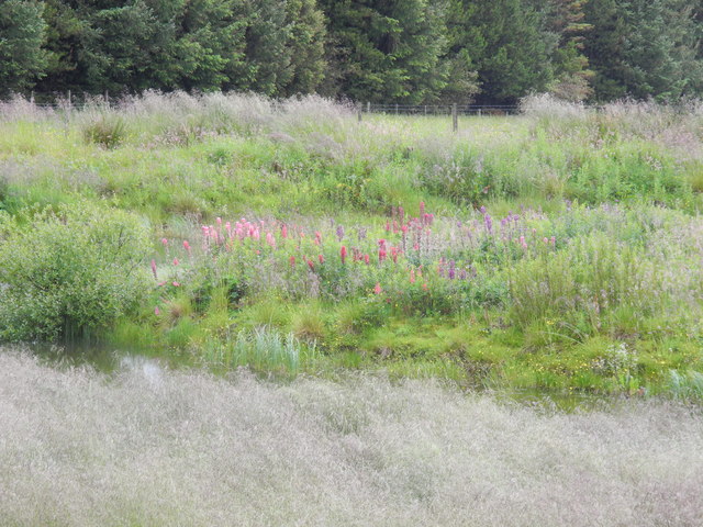
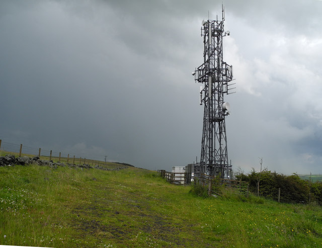
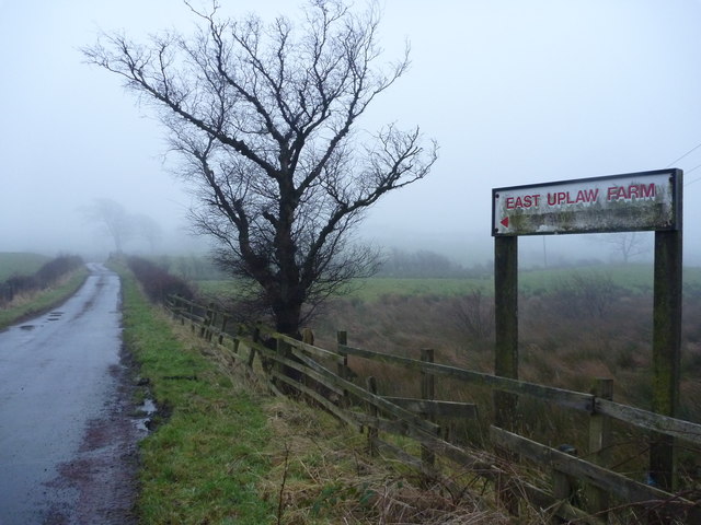
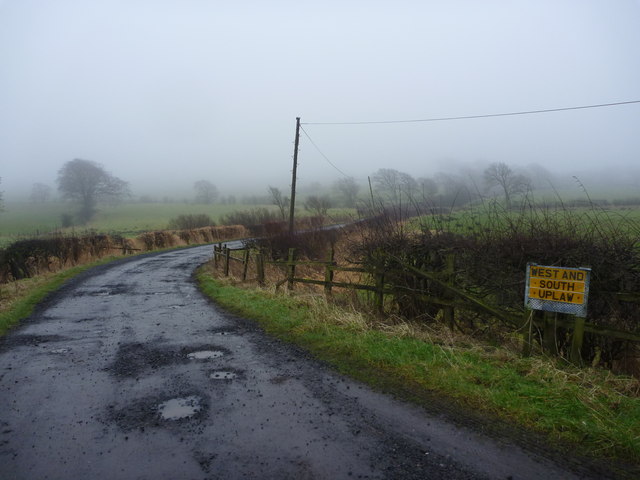
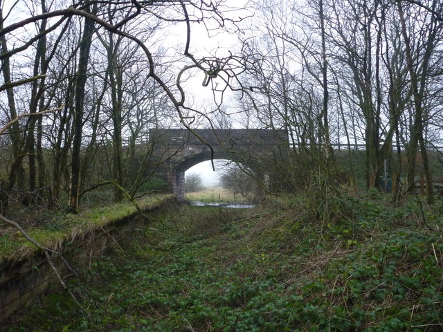
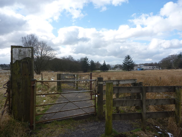
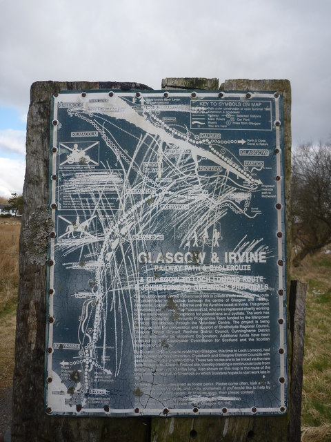
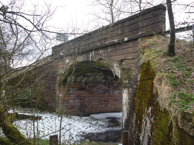
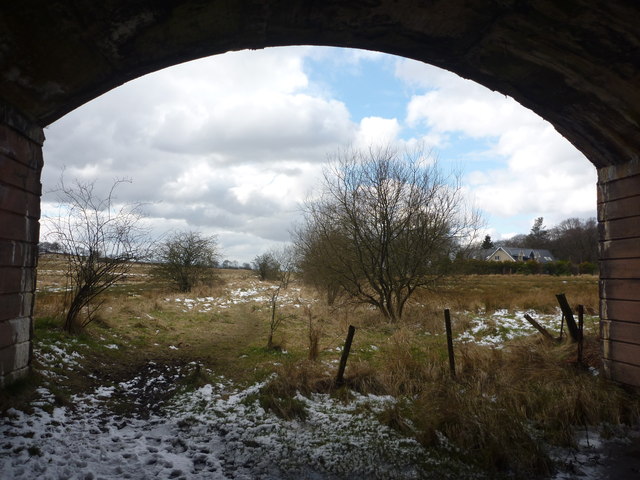
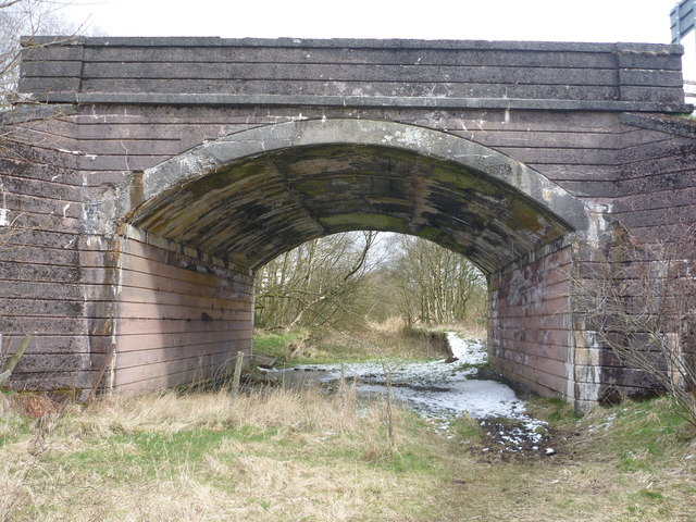
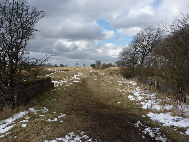
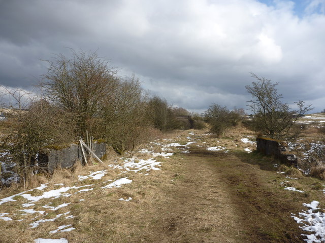
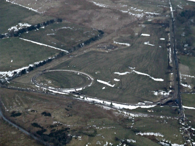
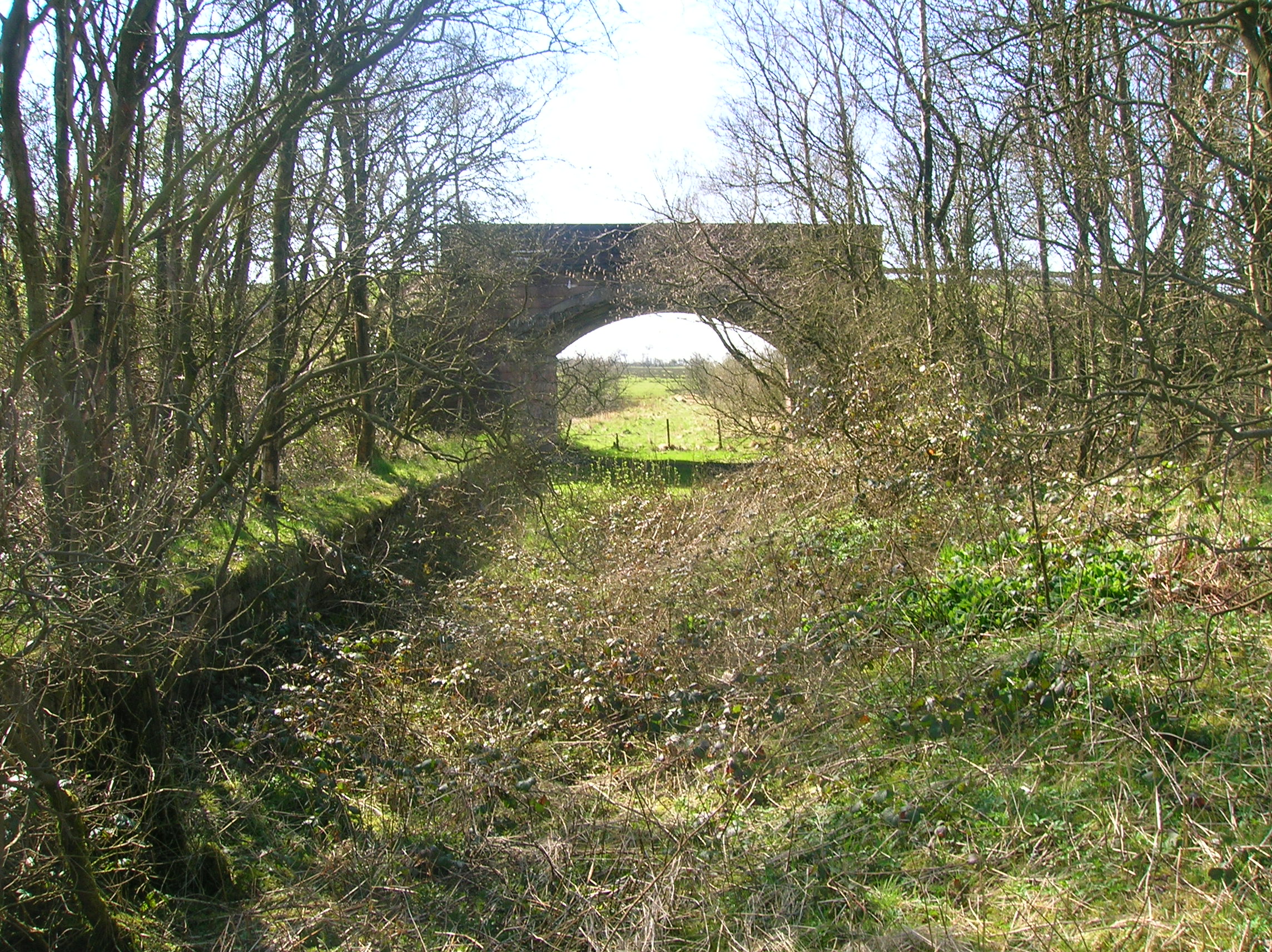
Corkindale Law Images

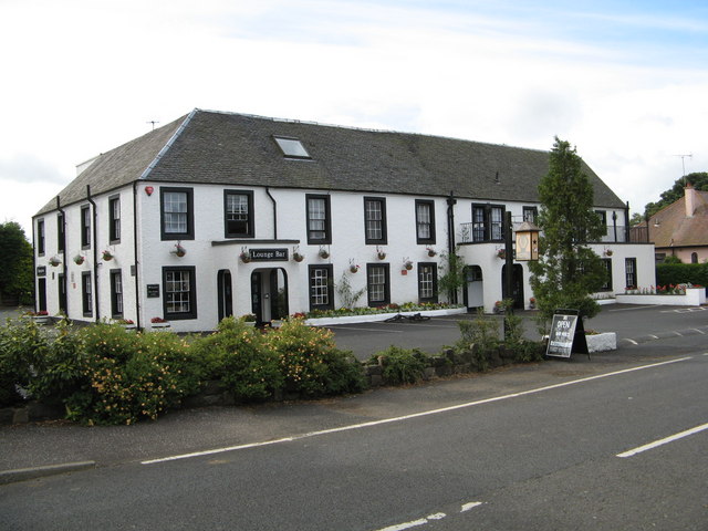
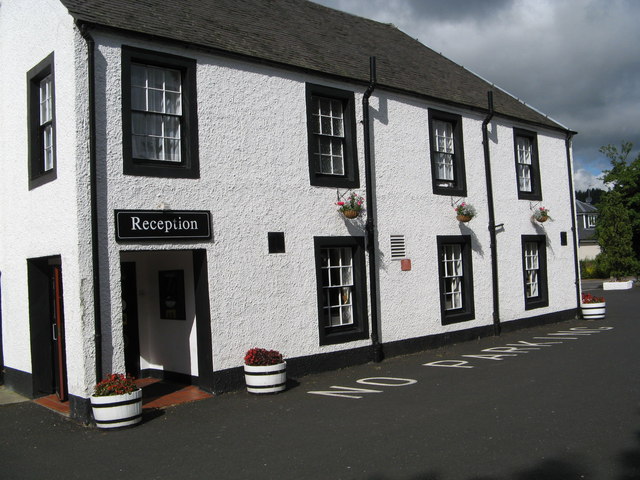
Images are sourced within 2km of 55.779146/-4.4884291 or Grid Reference NS4456. Thanks to Geograph Open Source API. All images are credited.

Uplawmoor Hotel
Uplawmoor Hotel
Uplawmoor Hotel Side view of reception area
Uplawmoor Hotel
Side view of reception area
Uplawmoor Hotel The restaurant
Uplawmoor Hotel
The restaurant
Lochan beside Corkindale Law A summer view of the lochan, though on a miserable day.
Lochan beside Corkindale Law
A summer view of the lochan, though on a miserable day.
Island in lochan Wondered what the flowers were on island in lochan - zoomed in - they turned out to be lupins!
Island in lochan
Wondered what the flowers were on island in lochan - zoomed in - they turned out to be lupins!
Communications mast above Finniebrae
Rural East Renfrewshire : East Uplaw Road-end A dreich morning near Uplawmoor.
Rural East Renfrewshire : East Uplaw Road-end
A dreich morning near Uplawmoor.
Rural East Renfrewshire : West and South Uplaw Road-end East Renfrewshire may have some excellent schools but many of the roads in this rural district are in an appalling condition.
Rural East Renfrewshire : West and South Uplaw Road-end
East Renfrewshire may have some excellent schools but many of the roads in this rural district are in an appalling condition.
Rural East Renfrewshire : Uplawmoor Station
Rural East Renfrewshire : Gates On The Castburn Path, Uplawmoor
Rural East Renfrewshire : Aged And Worn Sign On The Castburn Path, Uplawmoor This sign appears to date from the late 1980's and describes the "Glasgow and Irvine Railway Path and Cycleroute", a route that is a good few miles to the west of this location.
Rural East Renfrewshire : Aged And Worn Sign On The Castburn Path, Uplawmoor
This sign appears to date from the late 1980's and describes the "Glasgow and Irvine Railway Path and Cycleroute", a route that is a good few miles to the west of this location.
Rural East Renfrewshire : Tannoch Road Railway Bridge, Uplawmoor Station This bridge, at the southern end of the derelict platforms of the long-closed Uplawmoor station, carries Tannoch Road over the former Caledonian Railway line from Glasgow and Lanarkshire to the Ayrshire port of Ardrossan.
Rural East Renfrewshire : Tannoch Road Railway Bridge, Uplawmoor Station
This bridge, at the southern end of the derelict platforms of the long-closed Uplawmoor station, carries Tannoch Road over the former Caledonian Railway line from Glasgow and Lanarkshire to the Ayrshire port of Ardrossan.
Rural East Renfrewshire : South From Uplawmoor Station Standing underneath the Tannoch Road bridge, looking SW along the trackbed of the ex-Caledonian Railway line from Glasgow and Lanarkshire to the Ayrshire port of Ardrossan.
Rural East Renfrewshire : South From Uplawmoor Station
Standing underneath the Tannoch Road bridge, looking SW along the trackbed of the ex-Caledonian Railway line from Glasgow and Lanarkshire to the Ayrshire port of Ardrossan.
Rural East Renfrewshire : Tannoch Road Bridge and Uplawmoor Station Standing on the trackbed of the former Caledonian Railway line to Ardrossan, looking under the Tannoch Road bridge to the platform ends of the long demolished station at Uplawmoor.
Rural East Renfrewshire : Tannoch Road Bridge and Uplawmoor Station
Standing on the trackbed of the former Caledonian Railway line to Ardrossan, looking under the Tannoch Road bridge to the platform ends of the long demolished station at Uplawmoor.
Northern East Ayrshire : Small Parapets South of Uplawmoor Heading southwest from Uplawmoor on the old Caledonian Railway line.
Northern East Ayrshire : Small Parapets South of Uplawmoor
Heading southwest from Uplawmoor on the old Caledonian Railway line.
Northern East Ayrshire : Approaching The Boundary The narrow stream that flows under the trackbed between those parapets forms the boundary between East Ayrshire and East Renfrewshire.

The bridge in the distance is at the old Uplawmoor station in East Renfrewshire.
Northern East Ayrshire : Approaching The Boundary
The narrow stream that flows under the trackbed between those parapets forms the boundary between East Ayrshire and East Renfrewshire. The bridge in the distance is at the old Uplawmoor station in East Renfrewshire.
Northern East Ayrshire : Caledonian Railway Trackbed South of Uplawmoor This was the CR line from Lanarkshire to Ardrossan.
Northern East Ayrshire : Caledonian Railway Trackbed South of Uplawmoor
This was the CR line from Lanarkshire to Ardrossan.
Gallops from the air Gallops near Caldwell Law, seen on approach to Glasgow Airport from the south west.
Gallops from the air
Gallops near Caldwell Law, seen on approach to Glasgow Airport from the south west.
Show me another place!

Corkindale Law is located at Grid Ref: NS4456 (Lat: 55.779146, Lng: -4.4884291)

Unitary Authority: East Renfrewshire

Police Authority: Greater Glasgow

What 3 Words

///iteration.february.woke. Near Neilston, East Renfrewshire

Related Wikis

Shillford

Shillford or Shilford is a hamlet to the south-west of Barrhead on the Lochlibo Road in East Renfrewshire near Uplawmoor, Scotland in the parish of Neilston...

Loch Libo

Loch Libo is a freshwater loch in East Renfrewshire, Parish of Neilston, Scotland. The Lugton Water has its source from the southern end of loch, running...

Uplawmoor

Uplawmoor is a village in East Renfrewshire, Scotland. Its population was 700 as of 2016. Historic Uplawmoor, associated for centuries with the Barony...

Uplawmoor (L&A) railway station

Uplawmoor railway station was a railway station serving the village of Uplawmoor, East Renfrewshire, Scotland as part of the Lanarkshire and Ayrshire Railway...

Nearby Amenities

Located within 500m of 55.779146,-4.4884291
Generator Method: wind_turbine
Generator Source: wind
Power: generator
Lat/Long: 55.780438/-4.4917973
Power: pole
Lat/Long: 55.7766099/-4.482399
Power: pole
Lat/Long: 55.7763516/-4.4839224
Power: pole
Lat/Long: 55.7761709/-4.4849574
Power: pole
Lat/Long: 55.7759784/-4.4861261
Power: pole
Lat/Long: 55.7757765/-4.4873031
Power: pole
Lat/Long: 55.7755817/-4.488432
Power: pole
Lat/Long: 55.7753376/-4.4898511
Power: pole
Lat/Long: 55.7759667/-4.4913808
Power: pole
Lat/Long: 55.7764103/-4.4924534
Power: pole
Lat/Long: 55.7768657/-4.4936095
Power: pole
Lat/Long: 55.7773199/-4.4947635
Power: pole
Lat/Long: 55.7776873/-4.4957047
The data included in this document is from www.openstreetmap.org. The data is made available under ODbL.

Have you been to Corkindale Law?

Leave your review of Corkindale Law below (or comments, questions and feedback).