Shillford

Settlement in Renfrewshire

Scotland

Shillford

Uplawmoor Hotel
Uplawmoor Hotel Credit: Josie Campbell

Shillford is a small village located in the county of Renfrewshire, Scotland. Situated approximately 10 miles southwest of the town of Paisley, the village is nestled in a picturesque rural setting with rolling hills and beautiful countryside surroundings.

With a population of around 500 residents, Shillford maintains a close-knit community atmosphere. The village primarily consists of traditional stone-built houses and cottages, adding to its charm and character. The village is known for its peaceful and tranquil environment, providing a serene escape from the hustle and bustle of city life.

Shillford is well-connected to neighboring towns and cities, with good road links to Paisley and Glasgow, making it an ideal location for those who work in the nearby urban areas but prefer a quieter lifestyle.

Despite its small size, Shillford offers a range of amenities for its residents. The village has a local primary school, ensuring that young families have access to education within their community. Additionally, there are a few local shops and amenities, including a small grocery store and a post office, catering to the daily needs of the villagers.

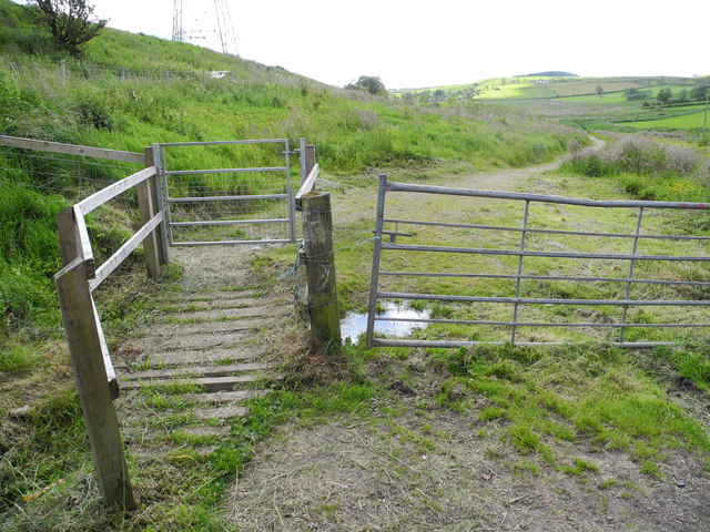
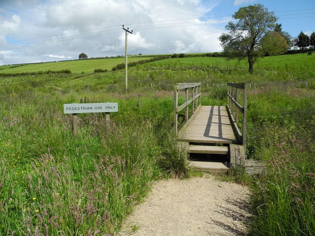
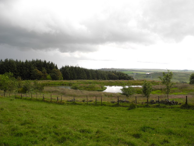
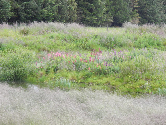
For outdoor enthusiasts, Shillford is an excellent location, with numerous walking trails and scenic spots nearby. The village is also close to several parks and nature reserves, allowing residents to enjoy the natural beauty of the area.

Overall, Shillford offers a peaceful and idyllic setting for those seeking a rural lifestyle while remaining within reach of urban conveniences.

If you have any feedback on the listing, please let us know in the comments section below.
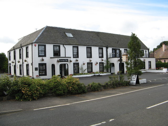
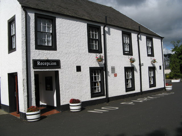
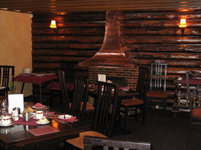
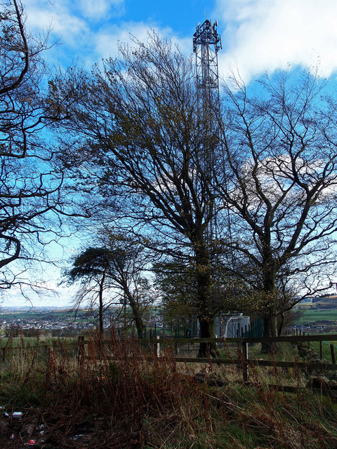
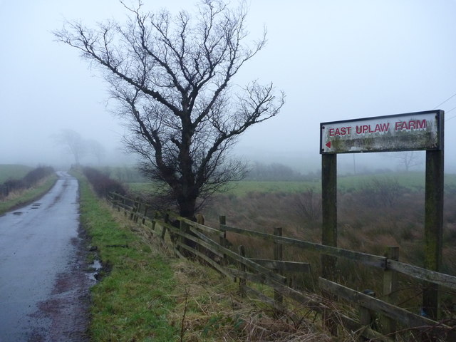
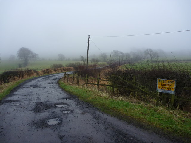
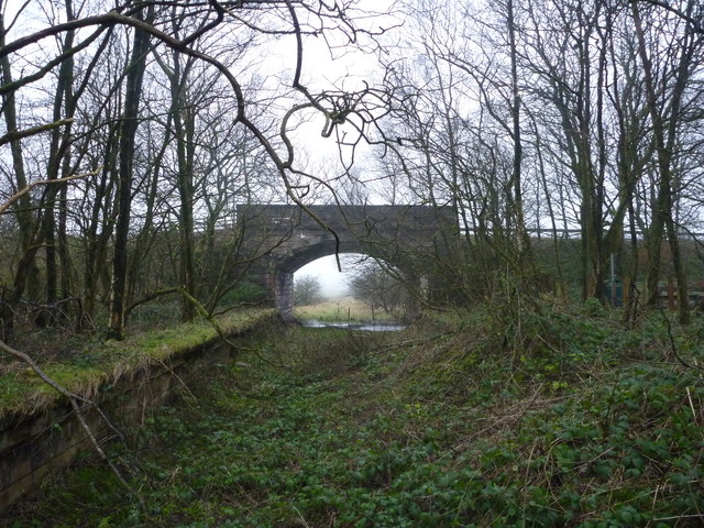
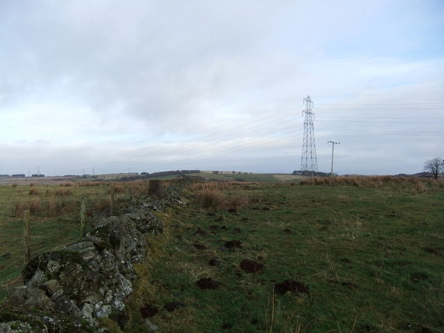
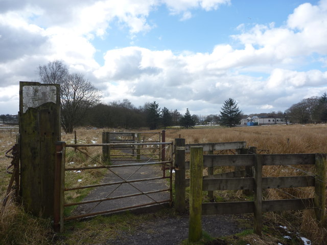
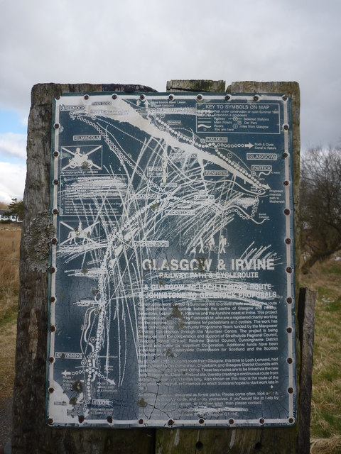
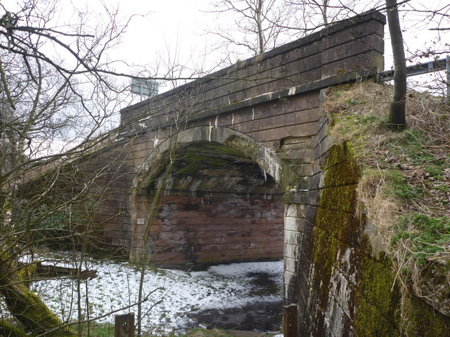
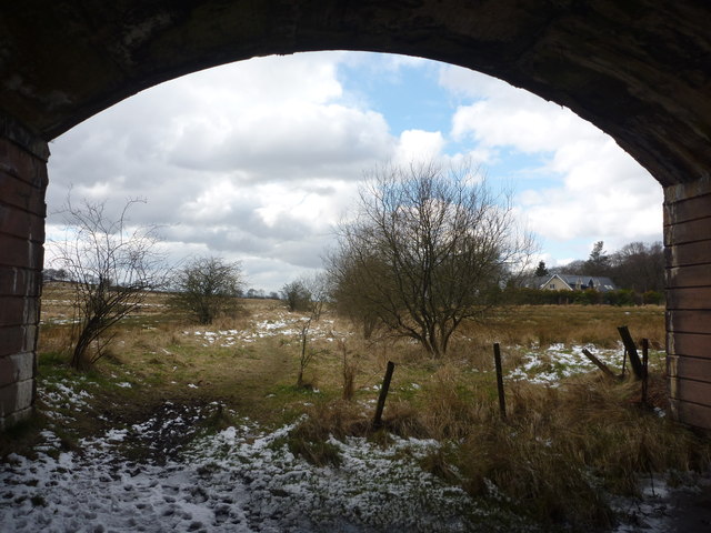
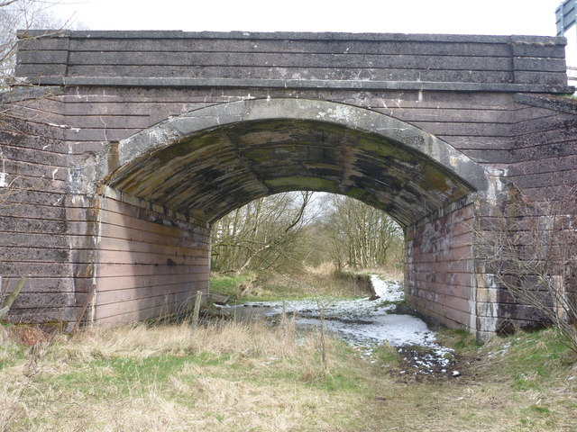
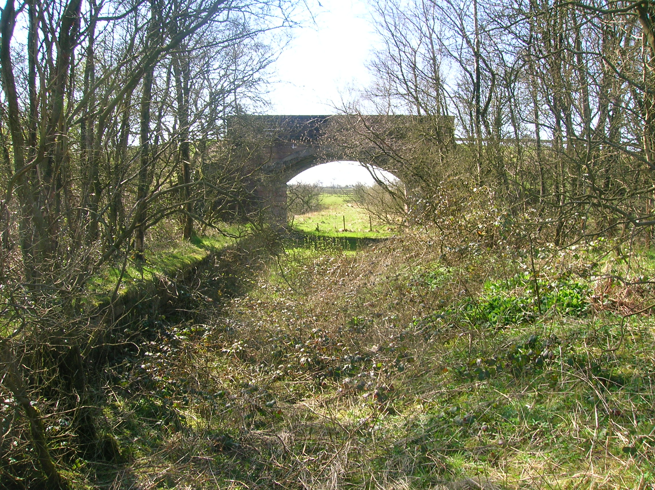
Shillford Images

Images are sourced within 2km of 55.774564/-4.4772297 or Grid Reference NS4456. Thanks to Geograph Open Source API. All images are credited.

Uplawmoor Hotel
Uplawmoor Hotel
Uplawmoor Hotel Side view of reception area
Uplawmoor Hotel
Side view of reception area
Uplawmoor Hotel The restaurant
Uplawmoor Hotel
The restaurant
North entrance to Neilstonside Path This new path runs beside the Levern Water, through a new plantation. It is a pleasant walk though wet and boggy in places.
North entrance to Neilstonside Path
This new path runs beside the Levern Water, through a new plantation. It is a pleasant walk though wet and boggy in places.
Bridge over Levern Water The new Neilstonside Path crosses the Levern Water here on its route through a new plantation. Nice for pedestrians but not so easy for prams or wheelchairs.
Bridge over Levern Water
The new Neilstonside Path crosses the Levern Water here on its route through a new plantation. Nice for pedestrians but not so easy for prams or wheelchairs.
Lochan beside Corkindale Law A summer view of the lochan, though on a miserable day.
Lochan beside Corkindale Law
A summer view of the lochan, though on a miserable day.
Island in lochan Wondered what the flowers were on island in lochan - zoomed in - they turned out to be lupins!
Island in lochan
Wondered what the flowers were on island in lochan - zoomed in - they turned out to be lupins!
Communications mast above Finniebrae
Communications Mast Beside the minor road on Lochliboside Hills. Neilston through the trees.
Communications Mast
Beside the minor road on Lochliboside Hills. Neilston through the trees.
Rural East Renfrewshire : East Uplaw Road-end A dreich morning near Uplawmoor.
Rural East Renfrewshire : East Uplaw Road-end
A dreich morning near Uplawmoor.
Rural East Renfrewshire : West and South Uplaw Road-end East Renfrewshire may have some excellent schools but many of the roads in this rural district are in an appalling condition.
Rural East Renfrewshire : West and South Uplaw Road-end
East Renfrewshire may have some excellent schools but many of the roads in this rural district are in an appalling condition.
Rural East Renfrewshire : Uplawmoor Station
Tri pillar in the wall, Foreside
Rural East Renfrewshire : Gates On The Castburn Path, Uplawmoor
Rural East Renfrewshire : Aged And Worn Sign On The Castburn Path, Uplawmoor This sign appears to date from the late 1980's and describes the "Glasgow and Irvine Railway Path and Cycleroute", a route that is a good few miles to the west of this location.
Rural East Renfrewshire : Aged And Worn Sign On The Castburn Path, Uplawmoor
This sign appears to date from the late 1980's and describes the "Glasgow and Irvine Railway Path and Cycleroute", a route that is a good few miles to the west of this location.
Rural East Renfrewshire : Tannoch Road Railway Bridge, Uplawmoor Station This bridge, at the southern end of the derelict platforms of the long-closed Uplawmoor station, carries Tannoch Road over the former Caledonian Railway line from Glasgow and Lanarkshire to the Ayrshire port of Ardrossan.
Rural East Renfrewshire : Tannoch Road Railway Bridge, Uplawmoor Station
This bridge, at the southern end of the derelict platforms of the long-closed Uplawmoor station, carries Tannoch Road over the former Caledonian Railway line from Glasgow and Lanarkshire to the Ayrshire port of Ardrossan.
Rural East Renfrewshire : South From Uplawmoor Station Standing underneath the Tannoch Road bridge, looking SW along the trackbed of the ex-Caledonian Railway line from Glasgow and Lanarkshire to the Ayrshire port of Ardrossan.
Rural East Renfrewshire : South From Uplawmoor Station
Standing underneath the Tannoch Road bridge, looking SW along the trackbed of the ex-Caledonian Railway line from Glasgow and Lanarkshire to the Ayrshire port of Ardrossan.
Rural East Renfrewshire : Tannoch Road Bridge and Uplawmoor Station Standing on the trackbed of the former Caledonian Railway line to Ardrossan, looking under the Tannoch Road bridge to the platform ends of the long demolished station at Uplawmoor.
Rural East Renfrewshire : Tannoch Road Bridge and Uplawmoor Station
Standing on the trackbed of the former Caledonian Railway line to Ardrossan, looking under the Tannoch Road bridge to the platform ends of the long demolished station at Uplawmoor.
Show me another place!

Shillford is located at Grid Ref: NS4456 (Lat: 55.774564, Lng: -4.4772297)

Unitary Authority: East Renfrewshire

Police Authority: Greater Glasgow

What 3 Words

///valuables.chaos.stretch. Near Neilston, East Renfrewshire

Related Wikis

Shillford

Shillford or Shilford is a hamlet to the south-west of Barrhead on the Lochlibo Road in East Renfrewshire near Uplawmoor, Scotland in the parish of Neilston...

Loch Libo

Loch Libo is a freshwater loch in East Renfrewshire, Parish of Neilston, Scotland. The Lugton Water has its source from the southern end of loch, running...

Uplawmoor (L&A) railway station

Uplawmoor railway station was a railway station serving the village of Uplawmoor, East Renfrewshire, Scotland as part of the Lanarkshire and Ayrshire Railway...

Uplawmoor

Uplawmoor is a village in East Renfrewshire, Scotland. Its population was 700 as of 2016. Historic Uplawmoor, associated for centuries with the Barony...

Uplawmoor (GB&K) railway station

Uplawmoor railway station was a railway station near the village of Uplawmoor, East Renfrewshire, Scotland. The station was originally part of the Glasgow...

Neilston Low railway station

Neilston Low railway station was a railway station serving the town of Neilston, East Renfrewshire, Scotland. The station was originally part of the Glasgow...

Craighall Reservoir

Craighall Reservoir, known locally as Craighall Dam, is one of a number of small reservoirs, situated around Neilston in East Renfrewshire, Scotland. The...

Neilston F.C.

Neilston Football Club are a Scottish football club based in Neilston, East Renfrewshire who currently play in the West of Scotland League First Division...

Nearby Amenities

Located within 500m of 55.774564,-4.4772297
Shillford
Place: hamlet
Lat/Long: 55.7746228/-4.4765225
Power: tower
Lat/Long: 55.7762586/-4.4706601
Power: pole
Lat/Long: 55.7749467/-4.4779227
Power: pole
Lat/Long: 55.7754373/-4.4792353
Power: pole
Lat/Long: 55.775881/-4.4804332
Power: pole
Lat/Long: 55.7762061/-4.4812658
Power: pole
Lat/Long: 55.7766099/-4.482399
Power: pole
Lat/Long: 55.7763516/-4.4839224
Power: pole
Lat/Long: 55.7742859/-4.4767374
Power: pole
Lat/Long: 55.7738927/-4.4757753
Power: pole
Lat/Long: 55.7735358/-4.4749218
Power: pole
Lat/Long: 55.7732119/-4.4740829
Power: pole
Lat/Long: 55.7727647/-4.4729623
Power: pole
Lat/Long: 55.7727494/-4.4714618
Power: pole
Lat/Long: 55.7727447/-4.4705812
Power: pole
Lat/Long: 55.77274/-4.4700615
Power: pole
Lat/Long: 55.7733891/-4.4762136
Power: pole
Lat/Long: 55.7728574/-4.4766977
Power: pole
Lat/Long: 55.7723937/-4.477954
Power: pole
Lat/Long: 55.7718855/-4.4792186
Power: pole
Lat/Long: 55.7714782/-4.4802224
Power: pole
Lat/Long: 55.7711683/-4.4809904
Power: pole
Lat/Long: 55.776834/-4.4810133
Power: pole
Lat/Long: 55.7773058/-4.4798468
Power: pole
Lat/Long: 55.7776157/-4.4790412
Power: pole
Lat/Long: 55.7780805/-4.4778413
Power: pole
Lat/Long: 55.7784854/-4.4767958
Power: pole
Lat/Long: 55.7788574/-4.4758484
Power: pole
Lat/Long: 55.7726937/-4.4729852
Power: pole
Lat/Long: 55.7722863/-4.4730854
Power: pole
Lat/Long: 55.7720891/-4.4731334
Power: pole
Lat/Long: 55.7718344/-4.4733963
The data included in this document is from www.openstreetmap.org. The data is made available under ODbL.

Have you been to Shillford?

Leave your review of Shillford below (or comments, questions and feedback).