Mamlorn Hills

Range Of Mountains, Range Of Hills in Perthshire

Scotland

Mamlorn Hills

Meall Glas The approach to the summit of the Munro from the east.
Meall Glas Credit: Iain Russell

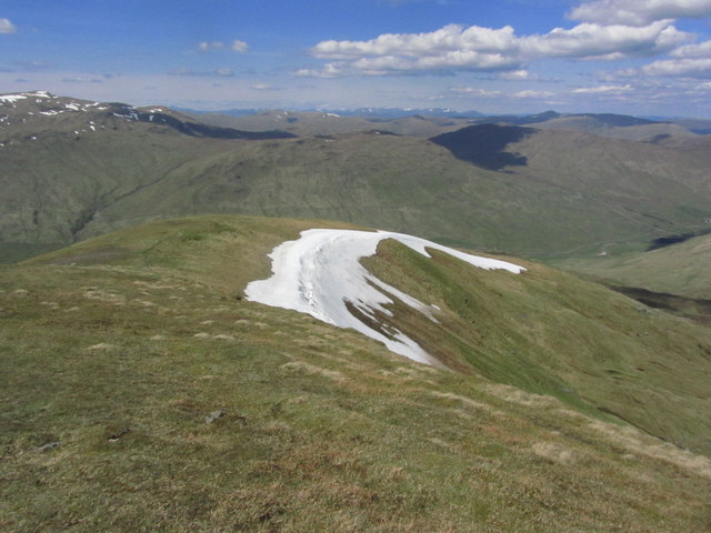
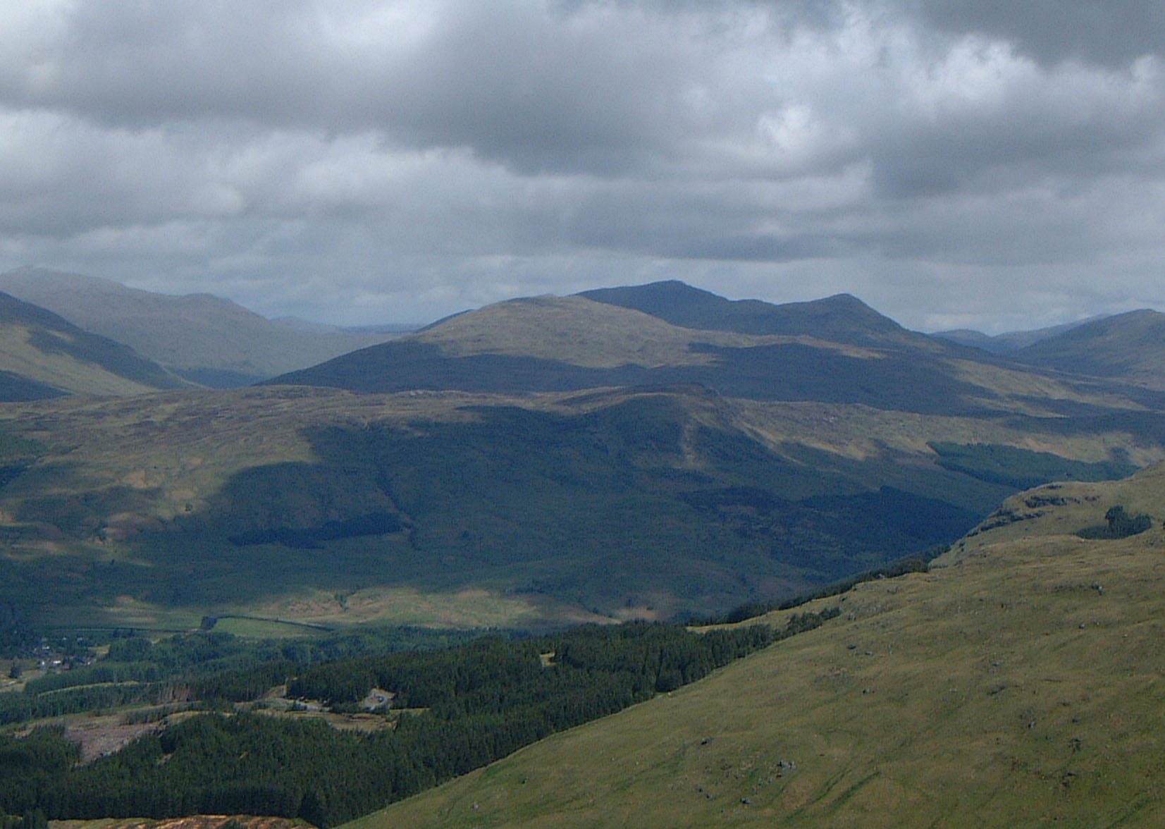
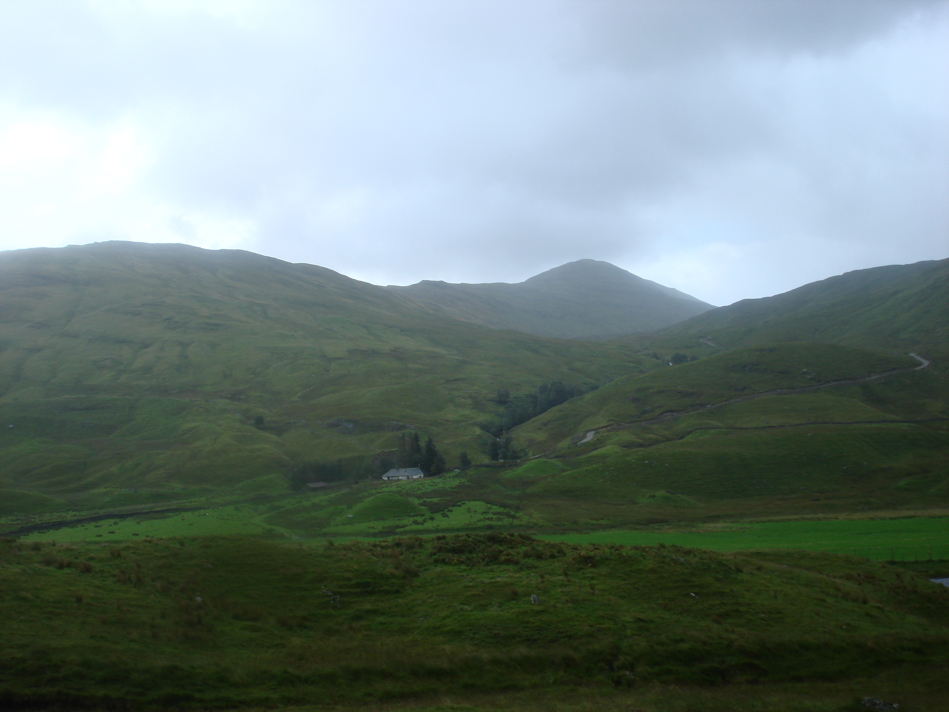
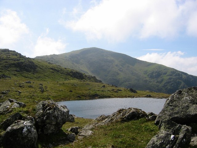
Mamlorn Hills, located in Perthshire, Scotland, is a range of mountains and hills that stretches across the picturesque landscape. This stunning natural feature is known for its magnificent panoramic views and diverse flora and fauna. The Mamlorn Hills are situated within the Highland Boundary Fault, which separates the Lowlands from the Highlands.

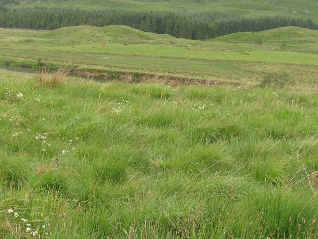
Rising to an elevation of approximately 800 meters (2,600 feet), the Mamlorn Hills offer breathtaking vistas of the surrounding countryside, including the Strathmore Valley and the River Tay. The range is characterized by its rolling green slopes, rocky outcrops, and deep glens, creating a striking contrast against the clear blue sky. The hills are home to a variety of wildlife, including red deer, mountain hares, and a rich array of bird species.

The Mamlorn Hills have attracted outdoor enthusiasts and nature lovers for centuries, providing ample opportunities for hiking, hillwalking, and birdwatching. Numerous well-marked trails and paths traverse the range, catering to both experienced climbers and casual walkers. One of the most popular routes is the Mamlorn Circular Walk, which takes visitors through heather-clad moorland and ancient woodlands, showcasing the area's natural beauty.

In addition to its natural wonders, the Mamlorn Hills also hold historical significance. The hills are dotted with remnants of ancient settlements and burial cairns, providing glimpses into the region's past. The area is steeped in folklore and legends, adding an element of mystique to its already captivating allure.

Overall, the Mamlorn Hills in Perthshire stand as a testament to the beauty of Scotland's rugged landscapes. With its breathtaking scenery, rich biodiversity, and historical charm, this range of mountains and hills offers an unforgettable experience for those who venture into its embrace.

If you have any feedback on the listing, please let us know in the comments section below.

Mamlorn Hills Images

Images are sourced within 2km of 56.470508/-4.5305939 or Grid Reference NN4433. Thanks to Geograph Open Source API. All images are credited.

Meall Glas The approach to the summit of the Munro from the east.
Meall Glas
The approach to the summit of the Munro from the east.
Glen Lochay from Lubchurran footbridge The footbridge from which this photograph was taken (seen in Sarah Charlesworth's <a href="https://www.geograph.org.uk/photo/995559">NN4535 : Footbridge over the River Lochay</a>) was a fairly rickety suspension bridge which I note is no longer shown on the larger scale OS maps. Other geographers for this square have noted the bridge shown on the OS map (the smaller scales) does not exist, so I guess that it washed away or fell to pieces sometime in the thirty five years since I used it to cross the river. I wouldn't have fancied fording the river in 1988 as the snow was deteriorating rapidly and the river filling up - it was considerably higher on the return in the afternoon. The ski tour in which I was engaged was a somewhat optimistic affair in disappointing snow conditions (and sufficiently poor visibility that this was the only photo for the day). Indeed, the avalanche risk must have been mounting as I picked my way back down as the thaw set in. I've definitely had better days on the hill - but every Munro has to be bagged, whatever the conditions !
Glen Lochay from Lubchurran footbridge
The footbridge from which this photograph was taken (seen in Sarah Charlesworth's NN4535 : Footbridge over the River Lochay) was a fairly rickety suspension bridge which I note is no longer shown on the larger scale OS maps. Other geographers for this square have noted the bridge shown on the OS map (the smaller scales) does not exist, so I guess that it washed away or fell to pieces sometime in the thirty five years since I used it to cross the river. I wouldn't have fancied fording the river in 1988 as the snow was deteriorating rapidly and the river filling up - it was considerably higher on the return in the afternoon. The ski tour in which I was engaged was a somewhat optimistic affair in disappointing snow conditions (and sufficiently poor visibility that this was the only photo for the day). Indeed, the avalanche risk must have been mounting as I picked my way back down as the thaw set in. I've definitely had better days on the hill - but every Munro has to be bagged, whatever the conditions !
Upper Glen Lochay - View from hydro track towards Lubchurran The red shed stands out from many miles around.
Upper Glen Lochay - View from hydro track towards Lubchurran
The red shed stands out from many miles around.
Approaching the summit of Meall Glas from the south, above Glen Dochart
On Meall Glas summit with view towards Ben Challum
On the summit of Beinn Beinn Cheathaich with ridge leading towards Meall Glas A very pleasant high level ridge walk from Meall Glas
On the summit of Beinn Beinn Cheathaich with ridge leading towards Meall Glas
A very pleasant high level ridge walk from Meall Glas
Trig point on the summit of Beinn Cheathaich
Ridge leading N from Beinn Cheathaich
In the Lairig a' Churain A particularly boggy section of the bealach.  In the shadow of Beinn Cheathaich.
In the Lairig a' Churain
A particularly boggy section of the bealach. In the shadow of Beinn Cheathaich.
Beinn Cheathaich from the Meall Glas ridge The north end of the Sgiath Chuil ridge can be seen here too.
Beinn Cheathaich from the Meall Glas ridge
The north end of the Sgiath Chuil ridge can be seen here too.
Meall Glas summit Looking east towards Sgiath Chuil.
Meall Glas summit
Looking east towards Sgiath Chuil.
Plantation in upper Glen Lochay Creag Mhor is the prominent hill in the background.
Plantation in upper Glen Lochay
Creag Mhor is the prominent hill in the background.
Bulldozed track towards Beinn Cheathaich
The River Lochay at Lubchurran Of the bridge marked on OS maps only the foundation blocks remain.
The River Lochay at Lubchurran
Of the bridge marked on OS maps only the foundation blocks remain.
House at Lubchurran This house in a nice setting looks recently renovated.
House at Lubchurran
This house in a nice setting looks recently renovated.
View up Glen Lochay The mountain in the centre distance is Ben Challum.
View up Glen Lochay
The mountain in the centre distance is Ben Challum.
Small Dam on Lubchurran Burn
Beinn Cheathaich From Lairig a' Churain.
Beinn Cheathaich
From Lairig a' Churain.
Show me another place!

Mamlorn Hills is located at Grid Ref: NN4433 (Lat: 56.470508, Lng: -4.5305939)

Unitary Authority: Stirling

Police Authority: Forth Valley

What 3 Words

///calibrate.flukes.levels. Near Pubil, Perth & Kinross

Nearby Locations

Mamlorn Hills

Related Wikis

Meall Glas

Meall Glas is a mountain situated in the southern highlands of Scotland. It stands on the northern border of the Loch Lomond and the Trossachs National...

Sgiath Chùil

Sgiath Chùil is a mountain situated in the southern highlands of Scotland. It stands within Loch Lomond and the Trossachs National Park, on its northern...

Beinn Heasgarnich

Beinn Heasgarnich (Scottish Gaelic: Beinn Sheasgarnaich) is a mountain in the Breadalbane region of the Scottish Highlands. It lies about 2 km south of...

Creag Mhòr

Creag Mhòr is a mountain in the Breadalbane region of the Scottish Highlands. It is in the Forest of Mamlorn, ten kilometres northeast of Tyndrum, and...

Beinn Challuim

Beinn Challuim (English: Ben Challum) is a mountain in the Breadalbane region of the Scottish Highlands. It is east of the village of Tyndrum, in the Forest...

Loch Essan

Loch Essan is a freshwater trout loch, located 2 miles north of Loch Dochart, within the Stirling Council Area, Scotland. == Settlements == On the mid...

Lochan Saorach

Lochan Saorach or Lochan Dùn Saoraich (NN451272) is a small lake situated in Glen Dochart (Scottish Gaelic: Gleann Dochard), below Dun Saorach, Perthshire...

Luib railway station

Luib was a railway station located in Glen Dochart, Stirling (district) midway between Crianlarich and Killin. == History == This station opened on 1 August...

Related Videos

Flying The Dji Air 2s in Scotlands Mountains. Family hike of Meall Glas ❤️

Today's adventure was hiking Meall Glas in Glen dochart with the family. It was a beautiful day for hiking but the mountain was a ...

Meall Glas and Sgiath Chuil

We climbed these two Munros from Glen Dochart near Crianlarich and it was a tough day. After climbing Sgiath Chuil, there's ...

Meall glas

My adventure of meall glas Follow Instagram @thescottishconqueror.

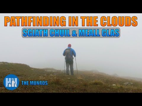
Pathfinding in the Clouds | Sgiath Chuil & Meall Glas | Glen Dochart, Crianlarich | Munro Bagging

Alistair ventured our early to add Sgiath Chuil and Meall Glas to the Munro Bagging list, and whilst he witnessed a spectacular ...

Have you been to Mamlorn Hills?

Leave your review of Mamlorn Hills below (or comments, questions and feedback).