Knights Bottom

Valley in Kent Dover

England

Knights Bottom

Ripple Mill Grade II listed.
Ripple Mill Credit: N Chadwick

Knights Bottom, Kent, also known as Knights Valley, is a picturesque area located in the county of Kent, England. Situated in the southeastern part of the country, Knights Bottom is nestled in the heart of the North Downs, a designated Area of Outstanding Natural Beauty.

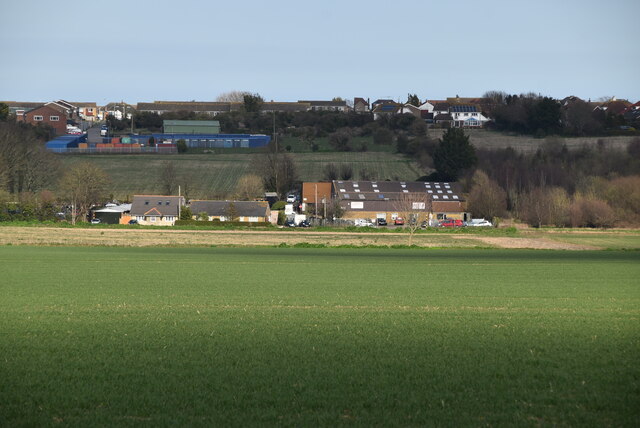
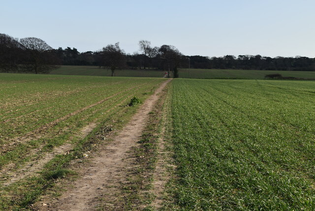
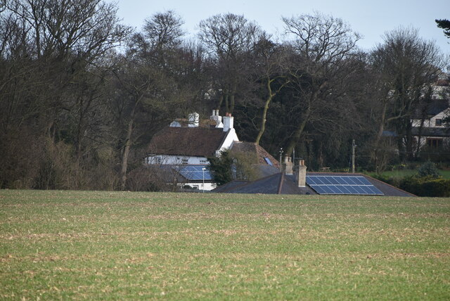
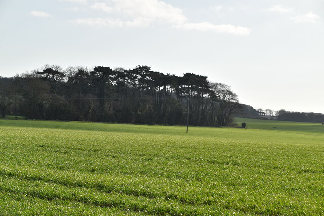
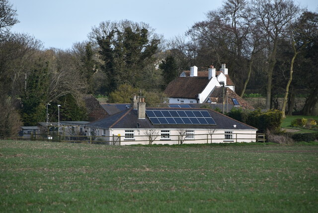
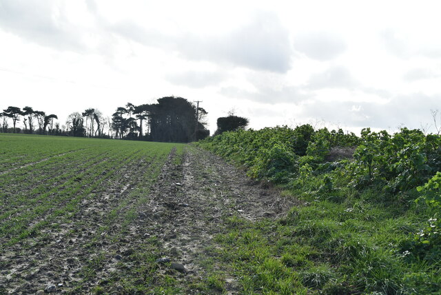
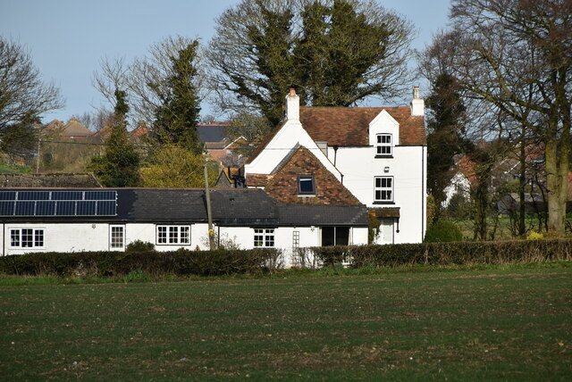
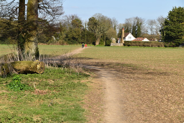
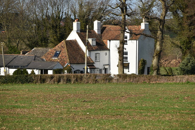
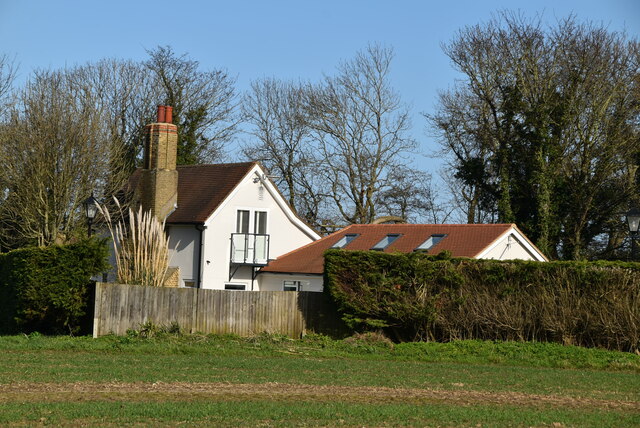
The valley is characterized by its rolling hills, lush green landscapes, and charming rural setting. It is encompassed by quaint villages and small hamlets, adding to its idyllic appeal. The area is renowned for its stunning natural beauty, attracting visitors from near and far.

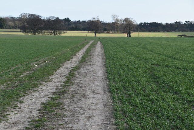
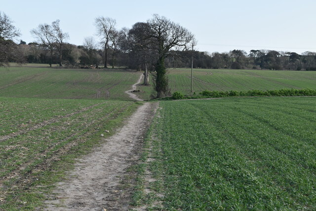
Knights Bottom is a popular destination for outdoor enthusiasts, offering a range of activities for nature lovers. The valley is crisscrossed by numerous walking trails and bridleways, providing opportunities for scenic hikes, horseback riding, and cycling. The diverse flora and fauna of the area make it an excellent spot for wildlife enthusiasts and birdwatchers.

The valley is also home to several historic landmarks and attractions. One notable feature is the ancient Pilgrims' Way, an old route that has been used for centuries by pilgrims on their way to Canterbury. Additionally, the area boasts charming country pubs, traditional tea rooms, and quaint bed and breakfasts, providing visitors with a taste of the region's rich heritage and warm hospitality.

In conclusion, Knights Bottom, Kent is a captivating destination that offers a perfect blend of natural beauty, outdoor adventure, and historical charm. Whether it's exploring the scenic trails, immersing oneself in the local history, or simply enjoying the tranquility of the countryside, Knights Bottom provides a delightful experience for all who visit.

If you have any feedback on the listing, please let us know in the comments section below.

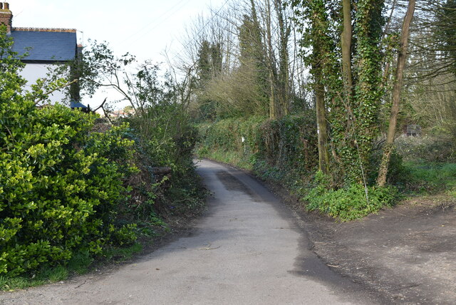
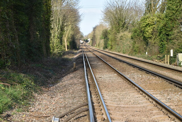
Knights Bottom Images

Images are sourced within 2km of 51.190206/1.3909171 or Grid Reference TR3748. Thanks to Geograph Open Source API. All images are credited.

Ripple Mill Grade II listed.
Ripple Mill
Grade II listed.
Coldblow Farm
Coldblow Farm
Ripple Mill Grade II listed.
Ripple Mill
Grade II listed.
Footpath across field
Coldblow Farm
Coldblow Farm
Farmland near Ripple
Hedge end
Hedge end
Coldblow Farm
Coldblow Farm
Coldblow Farmhouse
Coldblow Farmhouse
Ripple Mill There are three main types of windmill in Great Britain: post mills, smock mills and tower mills.

The smock mill is of a timber-framed construction with weatherboarded, steeply sloping external walls.  It was built on a brick base.  A pivoting wooden top with sails moved independently of the main structure so that the sails could be positioned towards the wind.  This was controlled by a tail fan.

Windmill article <a title="https://www.geograph.org.uk/article/Windmills" href="https://www.geograph.org.uk/article/Windmills">Link</a>
Ripple Mill
There are three main types of windmill in Great Britain: post mills, smock mills and tower mills. The smock mill is of a timber-framed construction with weatherboarded, steeply sloping external walls. It was built on a brick base. A pivoting wooden top with sails moved independently of the main structure so that the sails could be positioned towards the wind. This was controlled by a tail fan. Windmill article Link
Footpath to Walmer
Footpath to Walmer
Coldblow Farmhouse
Coldblow Farmhouse
Ellandune
Ellandune
Coldblow Crossing
Coldblow Crossing
Coldblow
Coldblow
Dover to Ramsgate line
Show me another place!

Knights Bottom is located at Grid Ref: TR3748 (Lat: 51.190206, Lng: 1.3909171)

Administrative County: Kent

District: Dover

Police Authority: Kent

What 3 Words

///zoomed.bloodshot.amid. Near Deal, Kent

Related Wikis

Kingsdown, Dover

Kingsdown is a village on the English Channel coast of Kent. Parts of the village are built on or behind the shingle beach that runs north to Deal and...

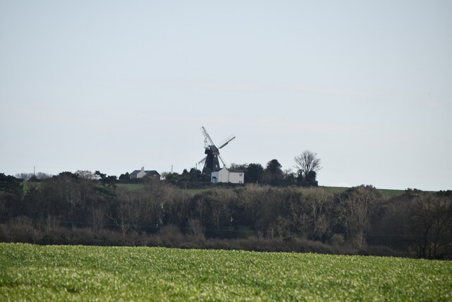
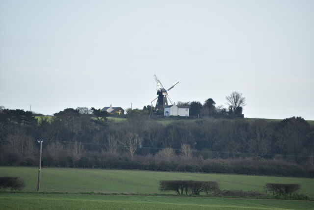
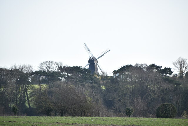
Ripple Mill, Ringwould

Ripple Windmill is a Grade II listed smock mill in Ringwould, Kent, England, that was built in Drellingore and moved to Ringwould in the early nineteenth...

East Kent Sudbury School

East Kent Sudbury is a home education learning community in Deal, Kent in the United Kingdom. The community operates on Sudbury school principles, that...

Ringwould with Kingsdown

Ringwould with Kingsdown is a coastal civil parish in the Dover District of Kent, England. The parish contains the villages of Ringwould and Kingsdown...

Nearby Amenities

Located within 500m of 51.190206,1.3909171
Bus Stop
Osborne Road
Local Ref: opp
Naptan AtcoCode: 240097811
Naptan Bearing: NW
Naptan BusStopType: MKD
Naptan CommonName: Osborne Road
Naptan Indicator: opp
Naptan Landmark: Osborne Road
Naptan NaptanCode: kntgpjpw
Naptan RevisionNumber: 3
Naptan Status: act
Naptan Street: Glen Road
Naptan Verified: no
Public Transport: platform
Ref: kntgpjpw
Source: naptan_import
Source Date: 2018-02-02
Lat/Long: 51.1877792/1.3932006
Post Box
Collection Times: Mo-Fr 09:00; Sa 07:00
Operator: Royal Mail
Operator Wikidata: Q638098
Post Box Mounting: metal_post
Post Box Type: lamp
Ref: CT14 125
Royal Cypher: EIIR
Lat/Long: 51.1875786/1.3936612
Barrier: kissing_gate
Lat/Long: 51.1903925/1.3952658
Generator Method: photovoltaic
Generator Output Electricity: yes
Generator Source: solar
Generator Type: solar_photovoltaic_panel
Location: roof
Power: generator
Lat/Long: 51.1885597/1.3968033
Generator Method: photovoltaic
Generator Output Electricity: yes
Generator Source: solar
Generator Type: solar_photovoltaic_panel
Location: roof
Power: generator
Lat/Long: 51.188526/1.3942203
Generator Method: photovoltaic
Generator Output Electricity: yes
Generator Source: solar
Generator Type: solar_photovoltaic_panel
Location: roof
Power: generator
Lat/Long: 51.1878973/1.3970661
Generator Method: photovoltaic
Generator Output Electricity: yes
Generator Source: solar
Generator Type: solar_photovoltaic_panel
Location: roof
Power: generator
Lat/Long: 51.1883664/1.3960522
Generator Method: photovoltaic
Generator Output Electricity: yes
Generator Source: solar
Generator Type: solar_photovoltaic_panel
Location: roof
Power: generator
Lat/Long: 51.1895641/1.3979673
Generator Method: photovoltaic
Generator Output Electricity: yes
Generator Source: solar
Generator Type: solar_photovoltaic_panel
Location: roof
Power: generator
Lat/Long: 51.1883243/1.3958672
Generator Method: photovoltaic
Generator Output Electricity: yes
Generator Source: solar
Generator Type: solar_photovoltaic_panel
Location: roof
Power: generator
Lat/Long: 51.1881411/1.3956392
Generator Method: photovoltaic
Generator Output Electricity: yes
Generator Source: solar
Generator Type: solar_photovoltaic_panel
Location: roof
Power: generator
Lat/Long: 51.1882907/1.3959248
The data included in this document is from www.openstreetmap.org. The data is made available under ODbL.

Have you been to Knights Bottom?

Leave your review of Knights Bottom below (or comments, questions and feedback).