Wood Hill

Hill, Mountain in Kent Dover

England

Wood Hill

Ripple Mill Grade II listed.
Ripple Mill Credit: N Chadwick

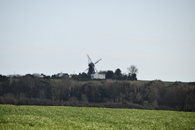
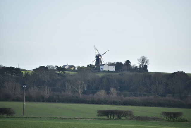
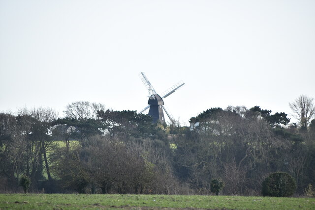
Wood Hill is a distinctive landmark located in the county of Kent, England. Situated within the North Downs, it is known for its prominent position and picturesque views. Rising to an elevation of approximately 248 meters (814 feet), Wood Hill is classified as a hill rather than a mountain due to its modest height.

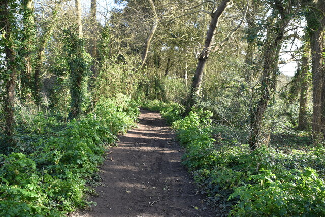
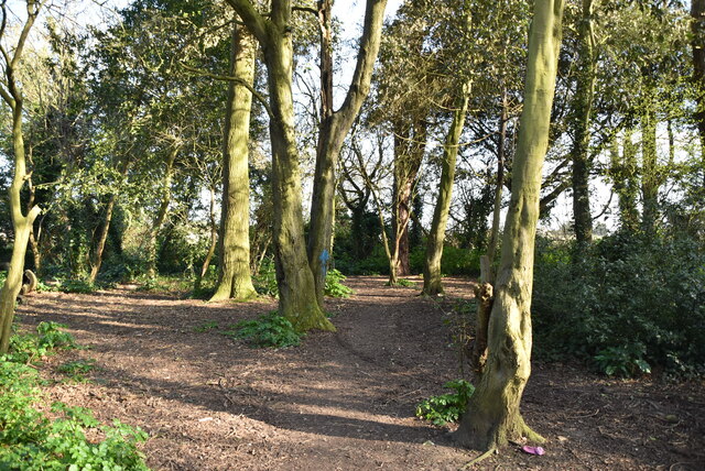
The hill is characterized by its dense woodland, which blankets the slopes and adds to its natural beauty. A variety of tree species can be found in the area, including oak, beech, and chestnut, creating a diverse and vibrant habitat. This woodland also provides a home for various wildlife, such as deer, foxes, and numerous species of birds.

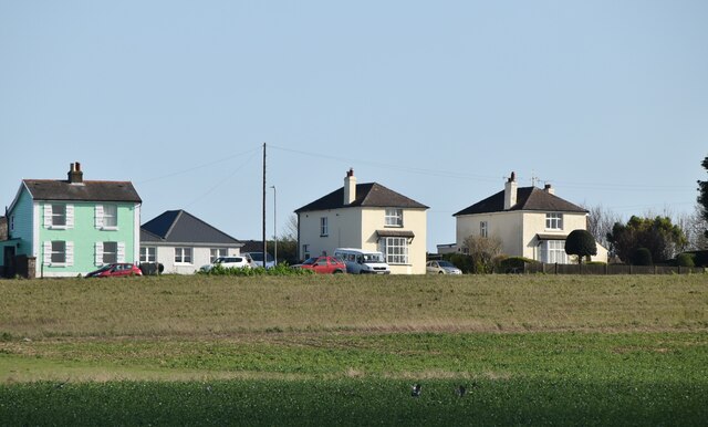
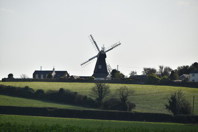
Wood Hill offers breathtaking panoramic views of the surrounding countryside, including sweeping vistas of the Kentish Weald and the nearby village of Eastling. On clear days, it is possible to see as far as the Thames Estuary and even the coastline of France.

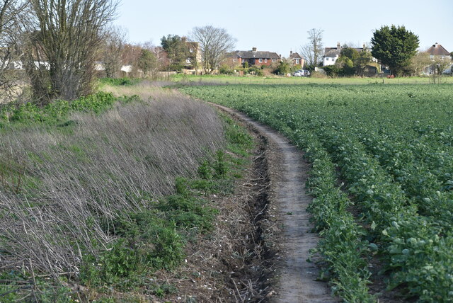
The hill is a popular destination for outdoor enthusiasts, offering numerous walking trails that allow visitors to explore its natural splendor. It is also a favorite spot for nature lovers, photographers, and those seeking a peaceful retreat away from the hustle and bustle of everyday life.

Wood Hill, Kent, with its stunning woodland, captivating vistas, and tranquil atmosphere, is an enchanting destination that showcases the natural beauty of the region.

If you have any feedback on the listing, please let us know in the comments section below.
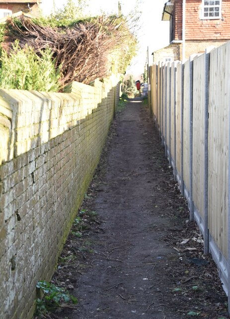
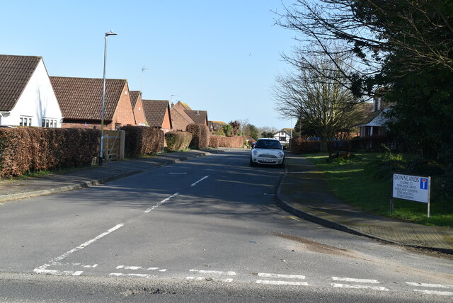
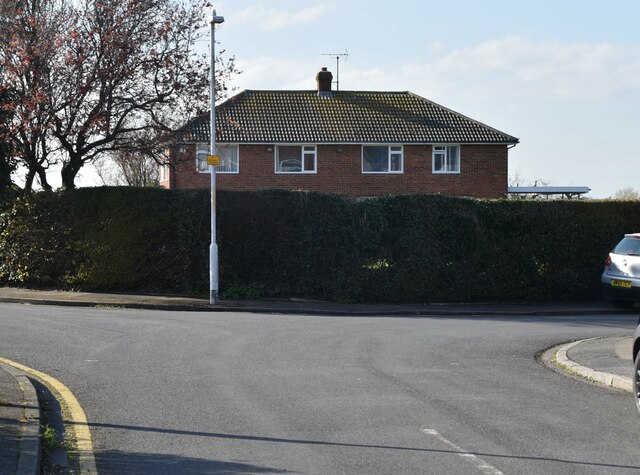
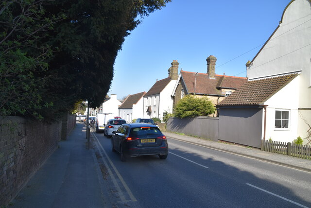
Wood Hill Images

Images are sourced within 2km of 51.182427/1.3914763 or Grid Reference TR3748. Thanks to Geograph Open Source API. All images are credited.

Ripple Mill Grade II listed.
Ripple Mill
Grade II listed.
Ripple Mill Grade II listed.
Ripple Mill
Grade II listed.
Ripple Mill There are three main types of windmill in Great Britain: post mills, smock mills and tower mills.

The smock mill is of a timber-framed construction with weatherboarded, steeply sloping external walls.  It was built on a brick base.  A pivoting wooden top with sails moved independently of the main structure so that the sails could be positioned towards the wind.  This was controlled by a tail fan.

Windmill article <a title="https://www.geograph.org.uk/article/Windmills" href="https://www.geograph.org.uk/article/Windmills">Link</a>
Ripple Mill
There are three main types of windmill in Great Britain: post mills, smock mills and tower mills. The smock mill is of a timber-framed construction with weatherboarded, steeply sloping external walls. It was built on a brick base. A pivoting wooden top with sails moved independently of the main structure so that the sails could be positioned towards the wind. This was controlled by a tail fan. Windmill article Link
Footpath
Footpath
Woodland
Woodland
Houses on Dover Rd
Houses on Dover Rd
Ripple Mill Ripple Windmill is a Grade II listed <span class="nowrap"><a title="https://historicengland.org.uk/listing/the-list/list-entry/1237017" rel="nofollow ugc noopener" href="https://historicengland.org.uk/listing/the-list/list-entry/1237017">Link</a><img style="margin-left:2px;" alt="External link" title="External link - shift click to open in new window" src="https://s1.geograph.org.uk/img/external.png" width="10" height="10"/></span>  smock mill in Ringwould, that was built in Drellingore and moved to Ringwould in the early nineteenth century. Having been stripped of machinery and used as a television mast, it is now under restoration as a working windmill.
Wikipedia: <span class="nowrap"><a title="https://en.wikipedia.org/wiki/Ripple_Mill,_Ringwould" rel="nofollow ugc noopener" href="https://en.wikipedia.org/wiki/Ripple_Mill,_Ringwould">Link</a><img style="margin-left:2px;" alt="External link" title="External link - shift click to open in new window" src="https://s1.geograph.org.uk/img/external.png" width="10" height="10"/></span>
Ripple Mill
Ripple Windmill is a Grade II listed LinkExternal link smock mill in Ringwould, that was built in Drellingore and moved to Ringwould in the early nineteenth century. Having been stripped of machinery and used as a television mast, it is now under restoration as a working windmill. Wikipedia: LinkExternal link
Field edge footpath
Field edge footpath
Footpath to Dover Rd
Houses on Dover Rd
Houses on Dover Rd
Footpath to Dover Rd
Dover Rd The A258 runs 13.5 miles from Dover to Sandwich, via Deal.
<span class="nowrap"><a title="http://www.sabre-roads.org.uk/wiki/index.php?title=A258" rel="nofollow ugc noopener" href="http://www.sabre-roads.org.uk/wiki/index.php?title=A258">Link</a><img style="margin-left:2px;" alt="External link" title="External link - shift click to open in new window" src="https://s1.geograph.org.uk/img/external.png" width="10" height="10"/></span>
Dover Rd
The A258 runs 13.5 miles from Dover to Sandwich, via Deal. LinkExternal link
446, Dover Rd
446, Dover Rd
Downlands
Downlands
Thompson Close
Thompson Close
Dover Rd The A258 runs 13.5 miles from Dover to Sandwich, via Deal.
<span class="nowrap"><a title="http://www.sabre-roads.org.uk/wiki/index.php?title=A258" rel="nofollow ugc noopener" href="http://www.sabre-roads.org.uk/wiki/index.php?title=A258">Link</a><img style="margin-left:2px;" alt="External link" title="External link - shift click to open in new window" src="https://s1.geograph.org.uk/img/external.png" width="10" height="10"/></span>
Dover Rd
The A258 runs 13.5 miles from Dover to Sandwich, via Deal. LinkExternal link
Hawksdown
Hawksdown
Show me another place!

Wood Hill is located at Grid Ref: TR3748 (Lat: 51.182427, Lng: 1.3914763)

Administrative County: Kent

District: Dover

Police Authority: Kent

What 3 Words

///falters.firewall.format. Near Deal, Kent

Related Wikis

Ringwould with Kingsdown

Ringwould with Kingsdown is a coastal civil parish in the Dover District of Kent, England. The parish contains the villages of Ringwould and Kingsdown...

Kingsdown, Dover

Kingsdown is a village on the English Channel coast of Kent. Parts of the village are built on or behind the shingle beach that runs north to Deal and...

East Kent Sudbury School

East Kent Sudbury is a home education learning community in Deal, Kent in the United Kingdom. The community operates on Sudbury school principles, that...

St Nicholas Church, Ringwould

St Nicholas Church is the Church of England parish church of the village of Ringwould in east Kent. A Grade I listed building, it was constructed in the...

Nearby Amenities

Located within 500m of 51.182427,1.3914763
Post Box
Collection Times: Mo-Fr 09:00; Sa 07:00
Operator: Royal Mail
Operator Wikidata: Q638098
Post Box Mounting: wooden_post
Post Box Type: lamp
Ref: CT14 68
Royal Cypher: EIIR
Royal Cypher Wikidata: Q33102113
Lat/Long: 51.1826047/1.3955674
Leisure: playground
Lat/Long: 51.1849627/1.3940898
Generator Method: photovoltaic
Generator Output Electricity: yes
Generator Source: solar
Generator Type: solar_photovoltaic_panel
Location: roof
Power: generator
Lat/Long: 51.1850452/1.3966839
Generator Method: photovoltaic
Generator Output Electricity: yes
Generator Source: solar
Generator Type: solar_photovoltaic_panel
Location: roof
Power: generator
Lat/Long: 51.1848393/1.3955292
Generator Method: photovoltaic
Generator Output Electricity: yes
Generator Source: solar
Generator Type: solar_photovoltaic_panel
Location: roof
Power: generator
Lat/Long: 51.1835783/1.3954326
Generator Method: photovoltaic
Generator Output Electricity: yes
Generator Source: solar
Generator Type: solar_photovoltaic_panel
Location: roof
Power: generator
Lat/Long: 51.1814186/1.3969172
Generator Method: photovoltaic
Generator Output Electricity: yes
Generator Source: solar
Generator Type: solar_photovoltaic_panel
Location: roof
Power: generator
Lat/Long: 51.1800222/1.3939011
Generator Method: photovoltaic
Generator Output Electricity: yes
Generator Source: solar
Generator Type: solar_photovoltaic_panel
Location: roof
Power: generator
Lat/Long: 51.1797263/1.396417
Generator Method: photovoltaic
Generator Output Electricity: yes
Generator Source: solar
Generator Type: solar_photovoltaic_panel
Location: roof
Power: generator
Lat/Long: 51.1797516/1.3943678
Generator Method: photovoltaic
Generator Output Electricity: yes
Generator Source: solar
Generator Type: solar_photovoltaic_panel
Location: roof
Power: generator
Lat/Long: 51.181554/1.3961542
Generator Method: photovoltaic
Generator Output Electricity: yes
Generator Source: solar
Generator Type: solar_photovoltaic_panel
Location: roof
Power: generator
Lat/Long: 51.1806242/1.3962373
Generator Method: photovoltaic
Generator Output Electricity: yes
Generator Source: solar
Generator Type: solar_photovoltaic_panel
Location: roof
Power: generator
Lat/Long: 51.1828856/1.3980532
Generator Method: photovoltaic
Generator Output Electricity: yes
Generator Source: solar
Generator Type: solar_photovoltaic_panel
Location: roof
Power: generator
Lat/Long: 51.1844274/1.3948104
Bus Stop
Victoria Road
Local Ref: N-bound
Naptan AtcoCode: 2400A071710A
Naptan Bearing: N
Naptan BusStopType: CUS
Naptan CommonName: Victoria Road
Naptan Indicator: N-bound
Naptan Landmark: Kingsdown Hill
Naptan NaptanCode: kntgdpgp
Naptan RevisionNumber: 3
Naptan Status: act
Naptan Street: Victoria Road
Naptan Verified: no
Public Transport: platform
Ref: kntgdpgp
Source: naptan_import
Source Date: 2018-02-02
Lat/Long: 51.1819019/1.3956892
Generator Method: photovoltaic
Generator Output Electricity: yes
Generator Source: solar
Generator Type: solar_photovoltaic_panel
Location: roof
Power: generator
Lat/Long: 51.1847871/1.3947219
Generator Method: photovoltaic
Generator Output Electricity: yes
Generator Source: solar
Generator Type: solar_photovoltaic_panel
Location: roof
Power: generator
Lat/Long: 51.1850746/1.3958135
Generator Method: photovoltaic
Generator Output Electricity: yes
Generator Source: solar
Generator Type: solar_photovoltaic_panel
Location: roof
Power: generator
Lat/Long: 51.1819626/1.3972056
Generator Method: photovoltaic
Generator Output Electricity: yes
Generator Source: solar
Generator Type: solar_photovoltaic_panel
Location: roof
Power: generator
Lat/Long: 51.1801686/1.395776
Generator Method: photovoltaic
Generator Output Electricity: yes
Generator Source: solar
Generator Type: solar_photovoltaic_panel
Location: roof
Power: generator
Lat/Long: 51.1801702/1.3958779
Generator Method: photovoltaic
Generator Output Electricity: yes
Generator Source: solar
Generator Type: solar_photovoltaic_panel
Location: roof
Power: generator
Lat/Long: 51.1801475/1.3948513
Generator Method: photovoltaic
Generator Output Electricity: yes
Generator Source: solar
Generator Type: solar_photovoltaic_panel
Location: roof
Power: generator
Lat/Long: 51.1794842/1.3939279
Generator Method: photovoltaic
Generator Output Electricity: yes
Generator Source: solar
Generator Type: solar_photovoltaic_panel
Location: roof
Power: generator
Lat/Long: 51.1794388/1.3940245
Generator Method: photovoltaic
Generator Output Electricity: yes
Generator Source: solar
Generator Type: solar_photovoltaic_panel
Location: roof
Power: generator
Lat/Long: 51.1795599/1.3941586
Generator Method: photovoltaic
Generator Output Electricity: yes
Generator Source: solar
Generator Type: solar_photovoltaic_panel
Location: roof
Power: generator
Lat/Long: 51.1797163/1.3970393
Generator Method: photovoltaic
Generator Output Electricity: yes
Generator Source: solar
Generator Type: solar_photovoltaic_panel
Location: roof
Power: generator
Lat/Long: 51.1797062/1.3971412
Generator Method: photovoltaic
Generator Output Electricity: yes
Generator Source: solar
Generator Type: solar_photovoltaic_panel
Location: roof
Power: generator
Lat/Long: 51.180905/1.3965726
Generator Method: photovoltaic
Generator Output Electricity: yes
Generator Source: solar
Generator Type: solar_photovoltaic_panel
Location: roof
Power: generator
Lat/Long: 51.1827965/1.3959356
Generator Method: photovoltaic
Generator Output Electricity: yes
Generator Source: solar
Generator Type: solar_photovoltaic_panel
Location: roof
Power: generator
Lat/Long: 51.1831042/1.3962963
The data included in this document is from www.openstreetmap.org. The data is made available under ODbL.

Have you been to Wood Hill?

Leave your review of Wood Hill below (or comments, questions and feedback).