Harewick Bottom
Valley in Sussex Wealden
England
Harewick Bottom
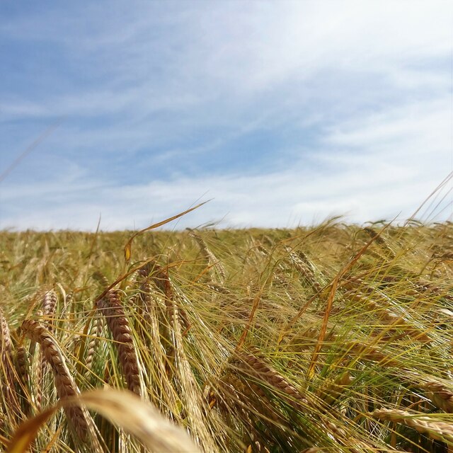
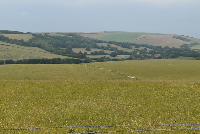
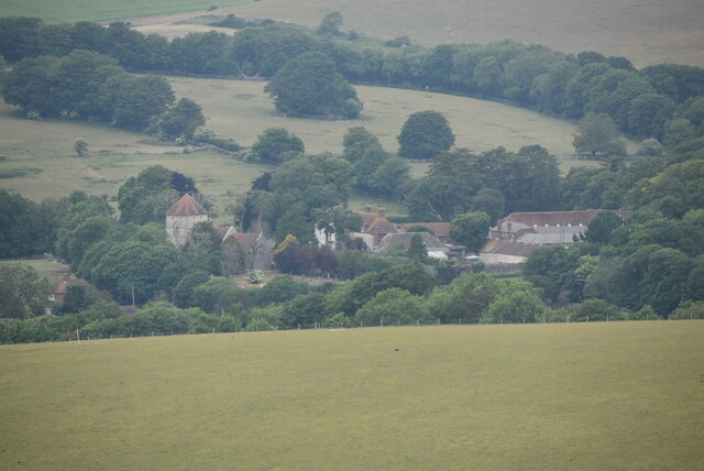
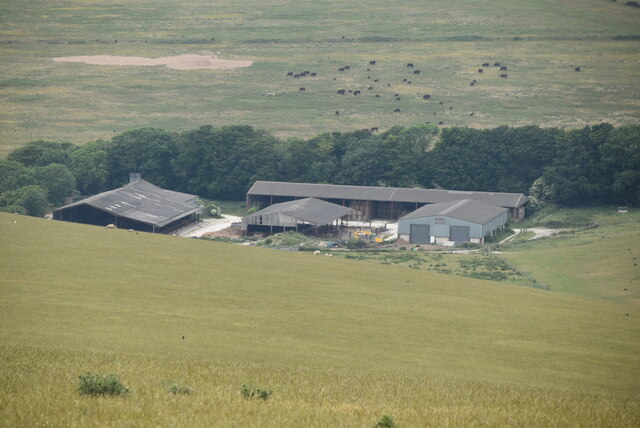
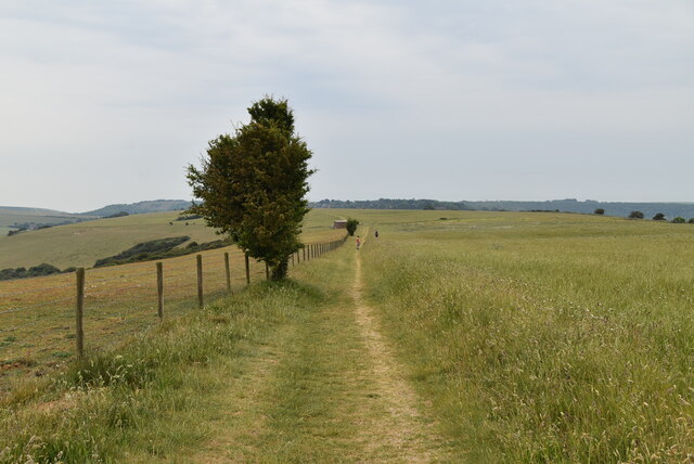
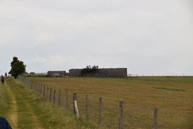
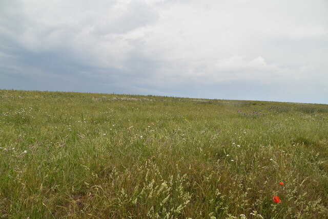
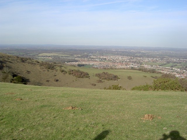
Harewick Bottom is a picturesque valley located in the county of Sussex, England. Nestled between rolling hills and bordered by lush green meadows, this enchanting area is renowned for its natural beauty and tranquil atmosphere.
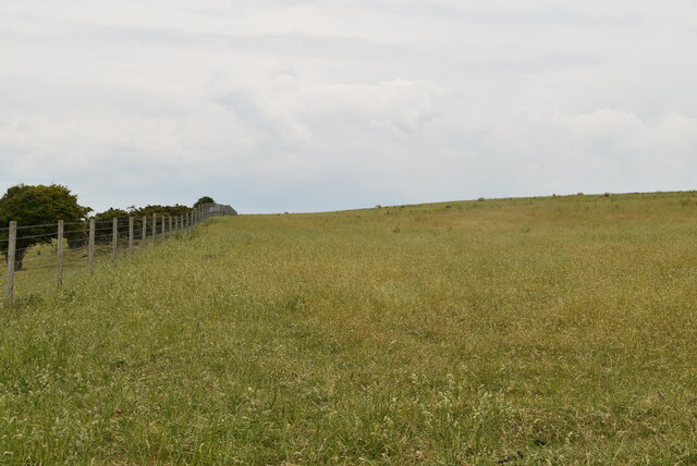
The valley is characterized by its idyllic landscape, with a meandering river flowing through the heart of the valley. The river, known as Harewick Brook, provides a soothing soundtrack as it cascades over small waterfalls and winds its way through the valley.
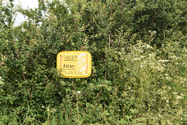
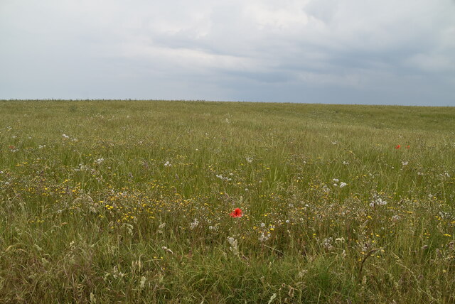
Surrounded by dense woodland, Harewick Bottom offers a haven for wildlife enthusiasts. The area is home to a diverse range of flora and fauna, including rare bird species and colorful wildflowers that blanket the meadows in the warmer months.
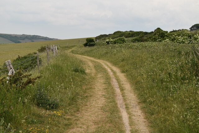
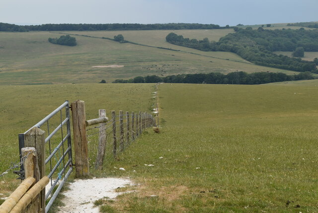
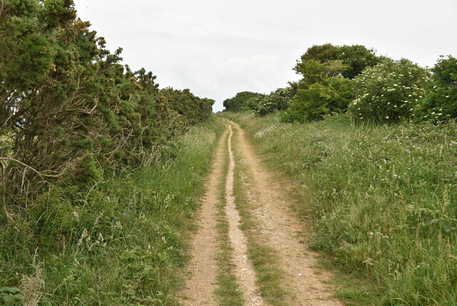
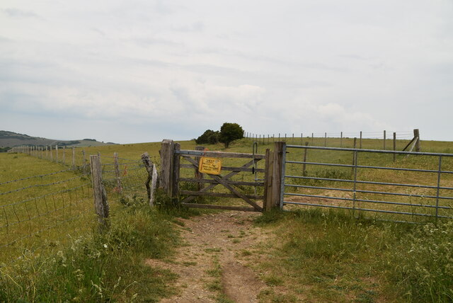
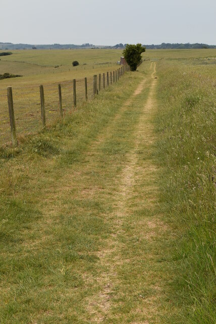
Visitors to Harewick Bottom can enjoy peaceful walks along the numerous footpaths that crisscross the valley, offering stunning panoramic views of the surrounding countryside. The valley is also a popular spot for picnics, as secluded spots beside the river provide the perfect setting for a leisurely lunch or afternoon tea.
For those seeking a more active experience, Harewick Bottom offers opportunities for outdoor pursuits, such as hiking, cycling, and horseback riding. There are also several designated camping sites dotted throughout the area, allowing visitors to immerse themselves in the natural beauty of the valley.
Overall, Harewick Bottom is a hidden gem in Sussex, offering a serene escape from the hustle and bustle of everyday life. Its unspoiled beauty and diverse wildlife make it a must-visit destination for nature lovers and those in search of tranquility.
If you have any feedback on the listing, please let us know in the comments section below.
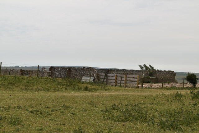
Harewick Bottom Images
Images are sourced within 2km of 50.786353/0.22137741 or Grid Reference TQ5600. Thanks to Geograph Open Source API. All images are credited.
Harewick Bottom is located at Grid Ref: TQ5600 (Lat: 50.786353, Lng: 0.22137741)
Administrative County: East Sussex
District: Wealden
Police Authority: Sussex
What 3 Words
///waddle.jars.analogy. Near Friston, East Sussex
Nearby Locations
Related Wikis
More Radio Eastbourne
More Radio Eastbourne, formerly Sovereign FM, is an Independent Local Radio station serving Eastbourne, Hailsham, Polegate and surrounding areas. It is...

Combe Hill, East Sussex
Combe Hill is a causewayed enclosure, near Eastbourne in East Sussex, on the northern edge of the South Downs. It consists of an inner circuit of ditches...
Willingdon Down
Willingdon Down is a 67.5-hectare (167-acre) biological Site of Special Scientific Interest west of Willingdon, a suburb of Eastbourne in East Sussex....
St Elisabeth's Church, Eastbourne
St Elisabeth's Church is a church in the Old Town area of Eastbourne, England. It was built in 1938 to the designs of local architects Stonham & Sons and...

Folkington Reservoir
Folkington Reservoir is a 5.8-hectare (14-acre) biological Site of Special Scientific Interest south-west of Polegate in East Sussex.The banks of the reservoir...

The Hoo, Willingdon and Jevington
The Hoo is an Neoclassical country house in Willingdon, in the Wealden district of East Sussex, England. It was designed by Edwin Lutyens in 1902 for Alexander...
Cavendish School, Eastbourne
The Cavendish School, commonly known as Cavendish School or Cavendish, is a coeducational All-through school with academy status, located in Eastbourne...
Ratton School
Ratton School is a secondary school with academy status in Eastbourne, East Sussex, England. All of the communities are named after theatres in London...
Nearby Amenities
Located within 500m of 50.786353,0.22137741Have you been to Harewick Bottom?
Leave your review of Harewick Bottom below (or comments, questions and feedback).