Home Bottom

Valley in Sussex Wealden

England

Home Bottom

Field of barley on the west side of Bourne Hill
Field of barley on the west side of Bourne Hill Credit: Ian Cunliffe

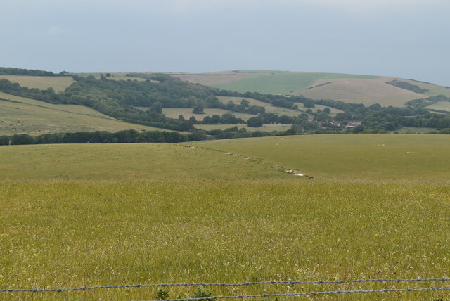
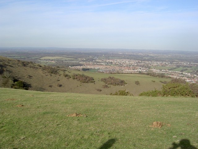
Home Bottom is a picturesque valley located in the county of Sussex, England. Nestled amidst rolling hills and lush greenery, this idyllic countryside offers a serene and tranquil atmosphere for residents and visitors alike. The valley is situated in the southern part of Sussex, surrounded by charming villages and hamlets.

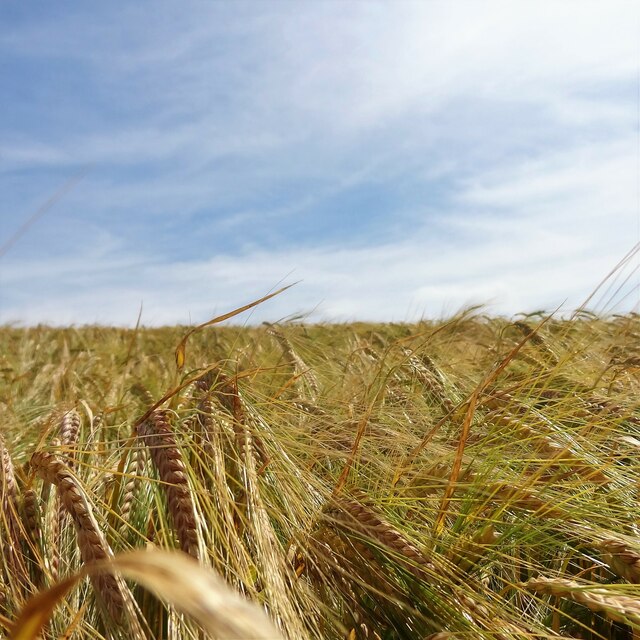
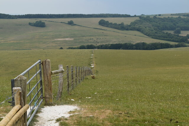
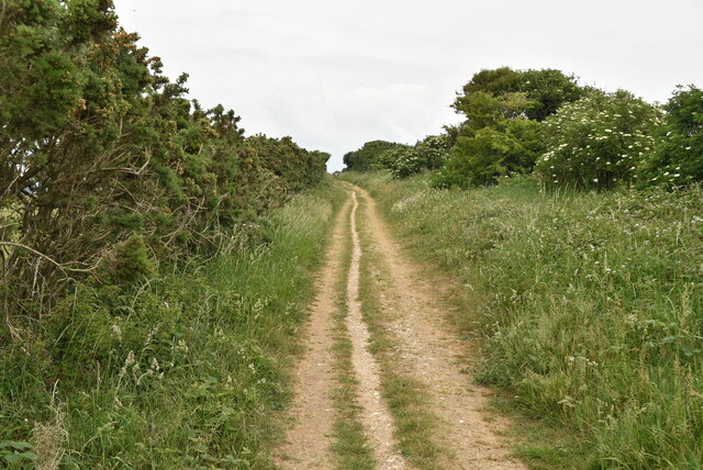
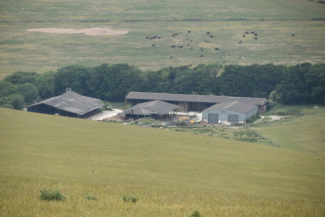
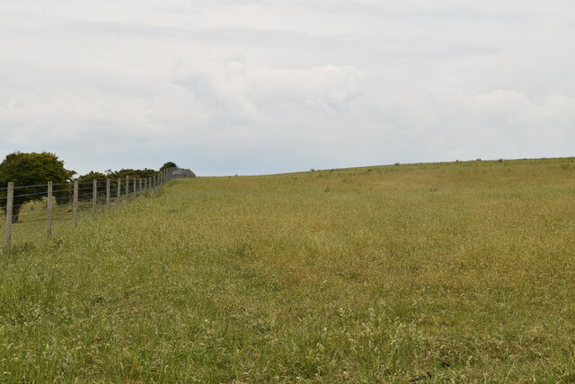
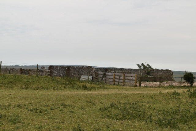
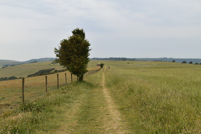
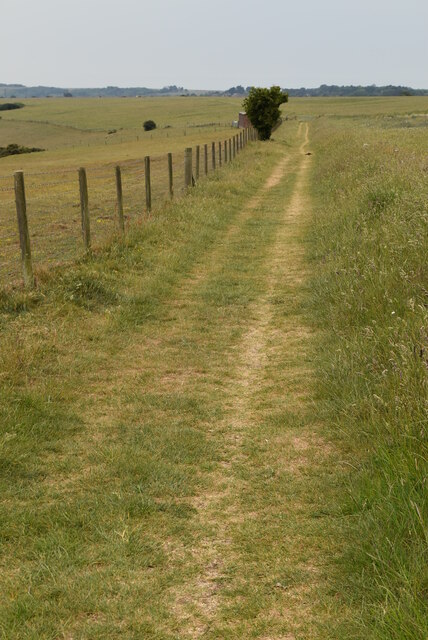
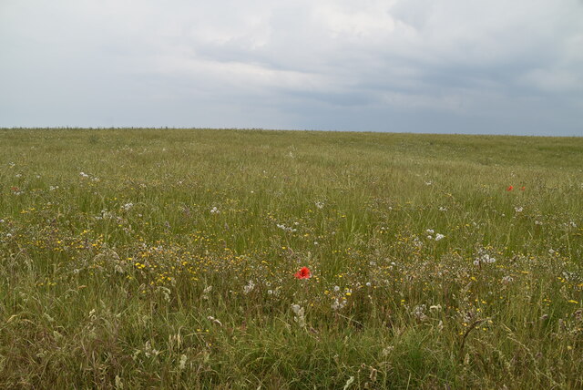
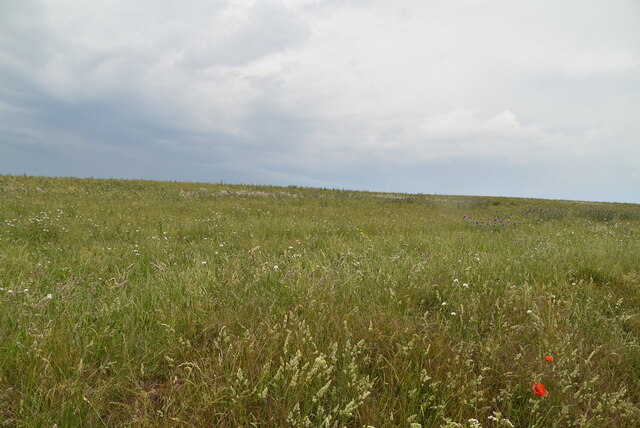
The landscape of Home Bottom is characterized by its undulating terrain, with gentle slopes and meandering streams that crisscross the valley. The area is renowned for its rich biodiversity, boasting a variety of flora and fauna that thrive in its fertile soil. Ancient woodlands and meadows dot the valley, providing a habitat for numerous species of birds, mammals, and insects.

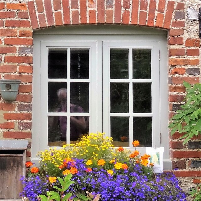
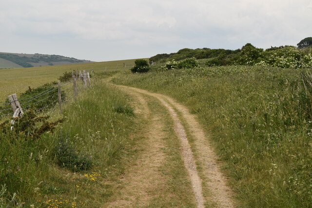
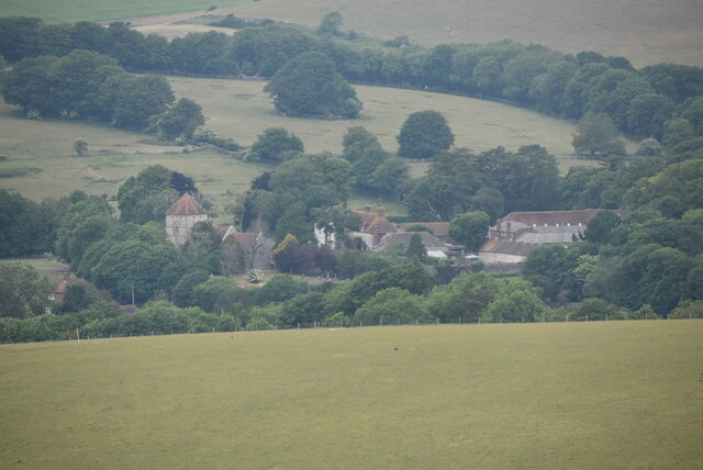
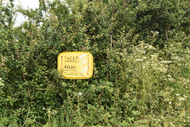
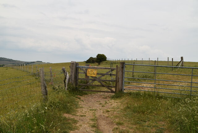
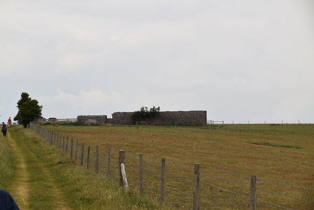
The valley is also adorned with traditional English cottages, their thatched roofs and colorful gardens adding to the charm of the surroundings. A network of footpaths and bridleways traverse the valley, allowing visitors to explore the natural beauty of the area. The peaceful ambiance of Home Bottom makes it an ideal location for outdoor activities such as hiking, cycling, and horse riding.

The nearby village of Sussex, with its quaint tea rooms and local pubs, offers a taste of traditional English village life. The annual village fete, held during the summer months, showcases local talent and crafts, attracting visitors from far and wide.

In conclusion, Home Bottom is a hidden gem in the Sussex countryside. Its picturesque landscape, abundant wildlife, and traditional charm make it a delightful destination for nature lovers and those seeking a peaceful retreat.

If you have any feedback on the listing, please let us know in the comments section below.

Home Bottom Images

Images are sourced within 2km of 50.795164/0.22054647 or Grid Reference TQ5601. Thanks to Geograph Open Source API. All images are credited.

Field of barley on the west side of Bourne Hill
Railings and ironwork on Willingdon Lane
Window on Willingdon Lane
Bridleway
Bridleway
Rolling downland The South Downs is one of the four areas of chalk downland in southern England. They extend from the eastern side of Hampshire through Sussex, culminating in the cliffs at Beachy Head.
The South Downs is England's newest National Park, its designation taking effect on March 31, 2010. There are many Sites of Special Scientific Interest within the park.
The area is relatively unpopulated, although along its southern periphery there is an almost uninterrupted ribbon of seaside towns. It is extremely popular with walkers, having one principal long distance footpath, the South Downs Way, and many interconnecting ones. There are three principal gaps in the upland through which rivers flow; and there are also many dry valleys along its length.
The South Downs have a long history; there are archaeological remains from Neolithic times. Until the middle of the 20th century, sheep-rearing was the main occupation of those living on the Downs.

At 886ft, Butser Hill is the highest point of the South Downs.

Extract from Wikipedia <span class="nowrap"><a title="http://en.wikipedia.org/wiki/South_Downs" rel="nofollow ugc noopener" href="http://en.wikipedia.org/wiki/South_Downs">Link</a><img style="margin-left:2px;" alt="External link" title="External link - shift click to open in new window" src="https://s1.geograph.org.uk/img/external.png" width="10" height="10"/></span>
Rolling downland
The South Downs is one of the four areas of chalk downland in southern England. They extend from the eastern side of Hampshire through Sussex, culminating in the cliffs at Beachy Head. The South Downs is England's newest National Park, its designation taking effect on March 31, 2010. There are many Sites of Special Scientific Interest within the park. The area is relatively unpopulated, although along its southern periphery there is an almost uninterrupted ribbon of seaside towns. It is extremely popular with walkers, having one principal long distance footpath, the South Downs Way, and many interconnecting ones. There are three principal gaps in the upland through which rivers flow; and there are also many dry valleys along its length. The South Downs have a long history; there are archaeological remains from Neolithic times. Until the middle of the 20th century, sheep-rearing was the main occupation of those living on the Downs. At 886ft, Butser Hill is the highest point of the South Downs. Extract from Wikipedia LinkExternal link
Fence into Duttle's Bottom
Jevington
Jevington
Bridleway
Bridleway
Handmade sign
Handmade sign
Gate on bridleway
Gate on bridleway
Oxendean Farm
Oxendean Farm
Grassland, Willingdon Hill
Ruin, Willingdon Hill
Bridleway, Willingdon Hill
Downland meadow
Downland meadow
Ruin on Willingdon Hill
Chalk meadow
Chalk meadow
Show me another place!

Home Bottom is located at Grid Ref: TQ5601 (Lat: 50.795164, Lng: 0.22054647)

Administrative County: East Sussex

District: Wealden

Police Authority: Sussex

What 3 Words

///likely.frame.hugs. Near Friston, East Sussex

Related Wikis

Combe Hill, East Sussex

Combe Hill is a causewayed enclosure, near Eastbourne in East Sussex, on the northern edge of the South Downs. It consists of an inner circuit of ditches...

Willingdon Down

Willingdon Down is a 67.5-hectare (167-acre) biological Site of Special Scientific Interest west of Willingdon, a suburb of Eastbourne in East Sussex....

More Radio Eastbourne

More Radio Eastbourne, formerly Sovereign FM, is an Independent Local Radio station serving Eastbourne, Hailsham, Polegate and surrounding areas. It is...

Folkington Reservoir

Folkington Reservoir is a 5.8-hectare (14-acre) biological Site of Special Scientific Interest south-west of Polegate in East Sussex.The banks of the reservoir...

Church of St Peter ad Vincula, Folkington

The Church of St Peter ad Vincula, Folkington, East Sussex is a parish church dating from the 13th century. Built of flint and rubble, it is a Grade I...

Folkington Manor

Folkington Manor (pronounced Fo'ington) is a grade II* listed country house situated in the village of Folkington two miles (3.2 km) west of Polegate,...

Willingdon Community School

Willingdon Community School is an 11–16 coeducational secondary school located in the Lower Willingdon area of Eastbourne in the English county of East...

The Hoo, Willingdon and Jevington

The Hoo is an Neoclassical country house in Willingdon, in the Wealden district of East Sussex, England. It was designed by Edwin Lutyens in 1902 for Alexander...

Nearby Amenities

Located within 500m of 50.795164,0.22054647
Field System
Historic: archaeological_site
Lat/Long: 50.7935018/0.2256355
Barrier: stile
Lat/Long: 50.797341/0.2163293
Barrier: stile
Lat/Long: 50.796859/0.2165819
Telephone
Booth: K6
Covered: booth
Man Made: telephone_box
Lat/Long: 50.7923917/0.2154356
Entrance: yes
Lat/Long: 50.7925765/0.2155179
Defibrillator
Defibrillator Location: Outside the Eight Bells pub, Jevington
Emergency: defibrillator
Indoor: no
Lat/Long: 50.7939969/0.2160479
Bus Stop
Bench: no
Pole: yes
Shelter: no
Lat/Long: 50.7939391/0.2159994
Advertising: board
Lat/Long: 50.7936989/0.215719
Addr Housename: Oak Cottage
Addr Postcode: BN26 5QB
Addr Street: Jevington Road
Lat/Long: 50.7945905/0.2162769
Addr Housename: Barn Cottage
Addr Street: Jevington Road
Lat/Long: 50.7956511/0.2171155
Addr Housename: Smugglers Barn
Addr Postcode: BN26 5QB
Addr Street: Jevington Road
Lat/Long: 50.7946663/0.2164103
The data included in this document is from www.openstreetmap.org. The data is made available under ODbL.

Have you been to Home Bottom?

Leave your review of Home Bottom below (or comments, questions and feedback).