Duttle's Bottom
Valley in Sussex Wealden
England
Duttle's Bottom
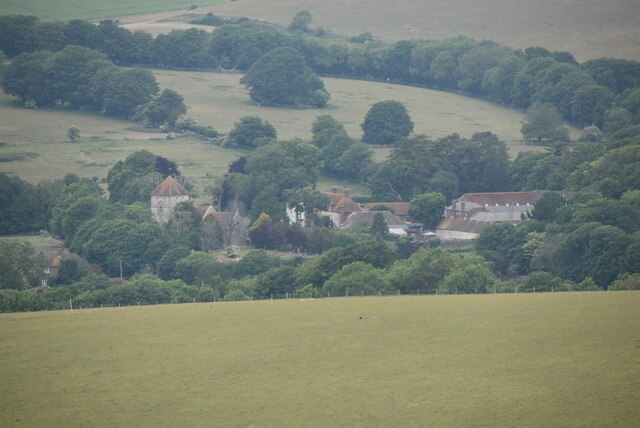
Duttle's Bottom is a small village located in the county of Sussex, England. Situated in the Sussex Valley, the village is known for its picturesque countryside views and tranquil atmosphere. With a population of around 500 residents, Duttle's Bottom offers a close-knit community feel.
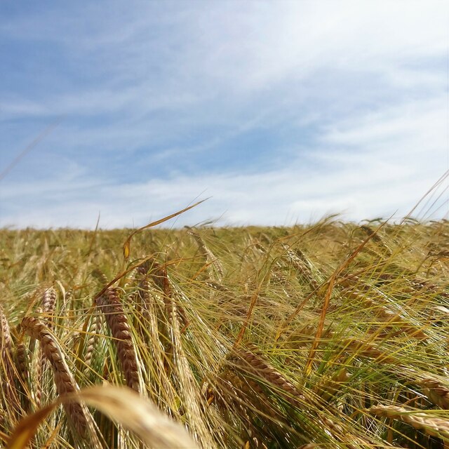
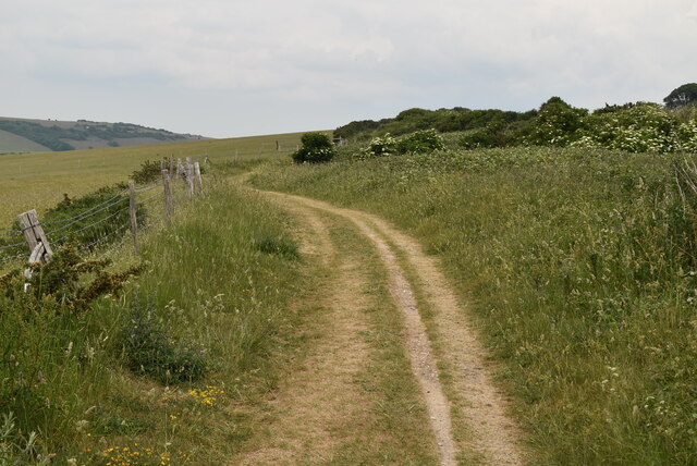
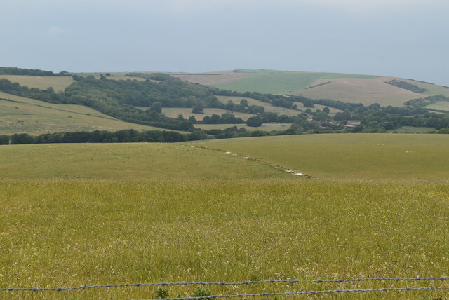
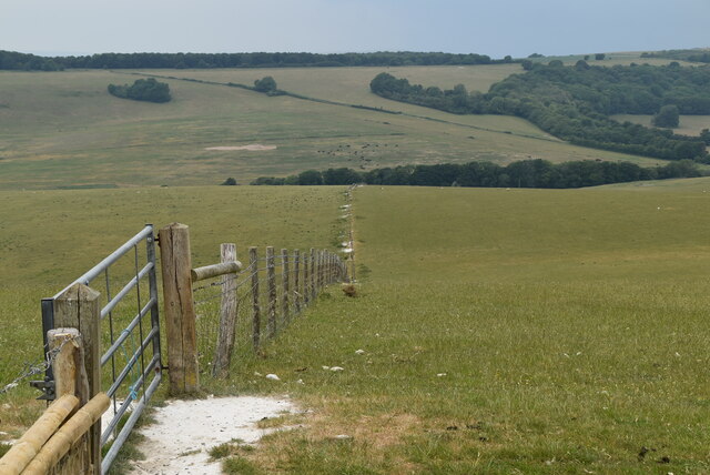
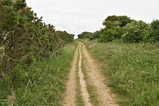
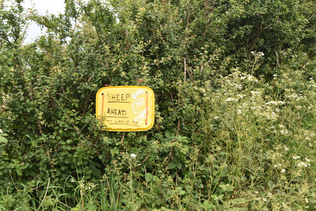
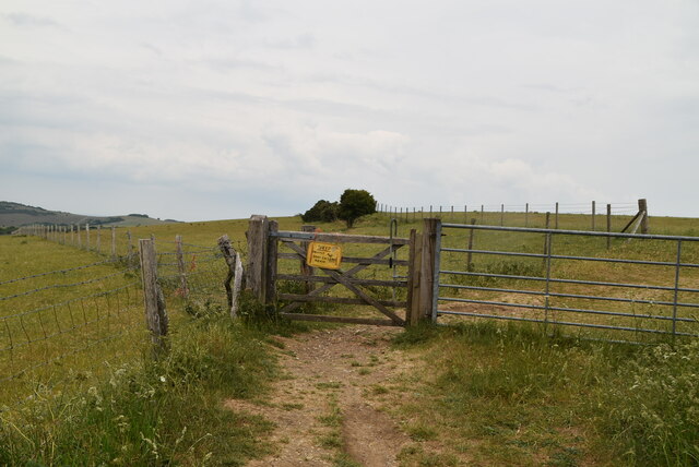
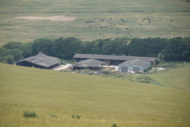
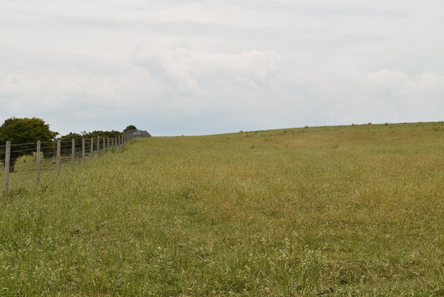
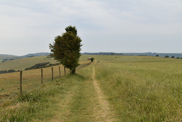
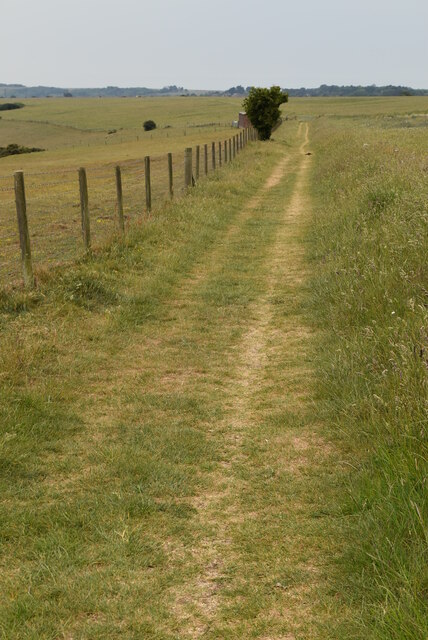
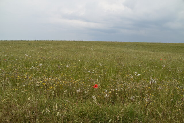
The village is surrounded by rolling hills and lush green fields, making it an ideal location for nature lovers and outdoor enthusiasts. There are several walking trails and hiking routes that allow visitors to explore the beautiful landscape and enjoy the fresh country air. The nearby river provides opportunities for fishing and boating, adding to the recreational options available.
In terms of amenities, Duttle's Bottom has a village shop that caters to the everyday needs of its residents. There is also a charming local pub, where locals and visitors alike can enjoy a pint of ale and traditional pub fare. For more extensive shopping, the larger town of Sussex is just a short drive away.
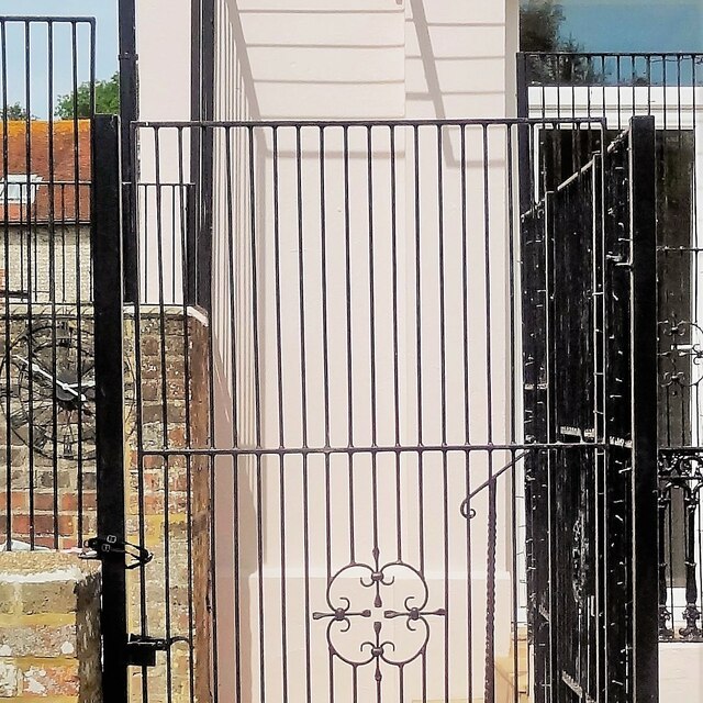
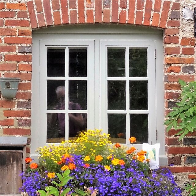
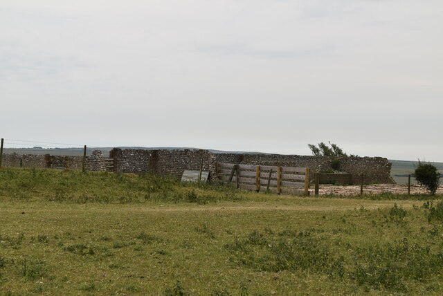
Duttle's Bottom has a rich history, with some parts of the village dating back several centuries. The architecture reflects the traditional English countryside style, with charming thatched-roof cottages and quaint buildings dotted throughout the village.
Overall, Duttle's Bottom is a peaceful and idyllic village, offering a serene escape from the hustle and bustle of city life. With its natural beauty, friendly community, and historical charm, it is a place that captures the essence of rural England.
If you have any feedback on the listing, please let us know in the comments section below.
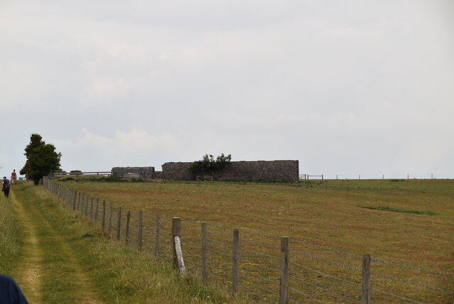
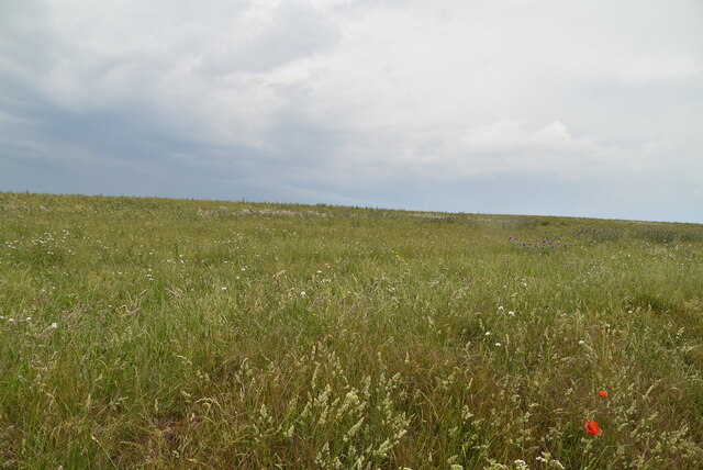
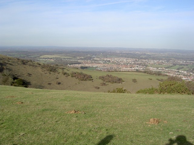
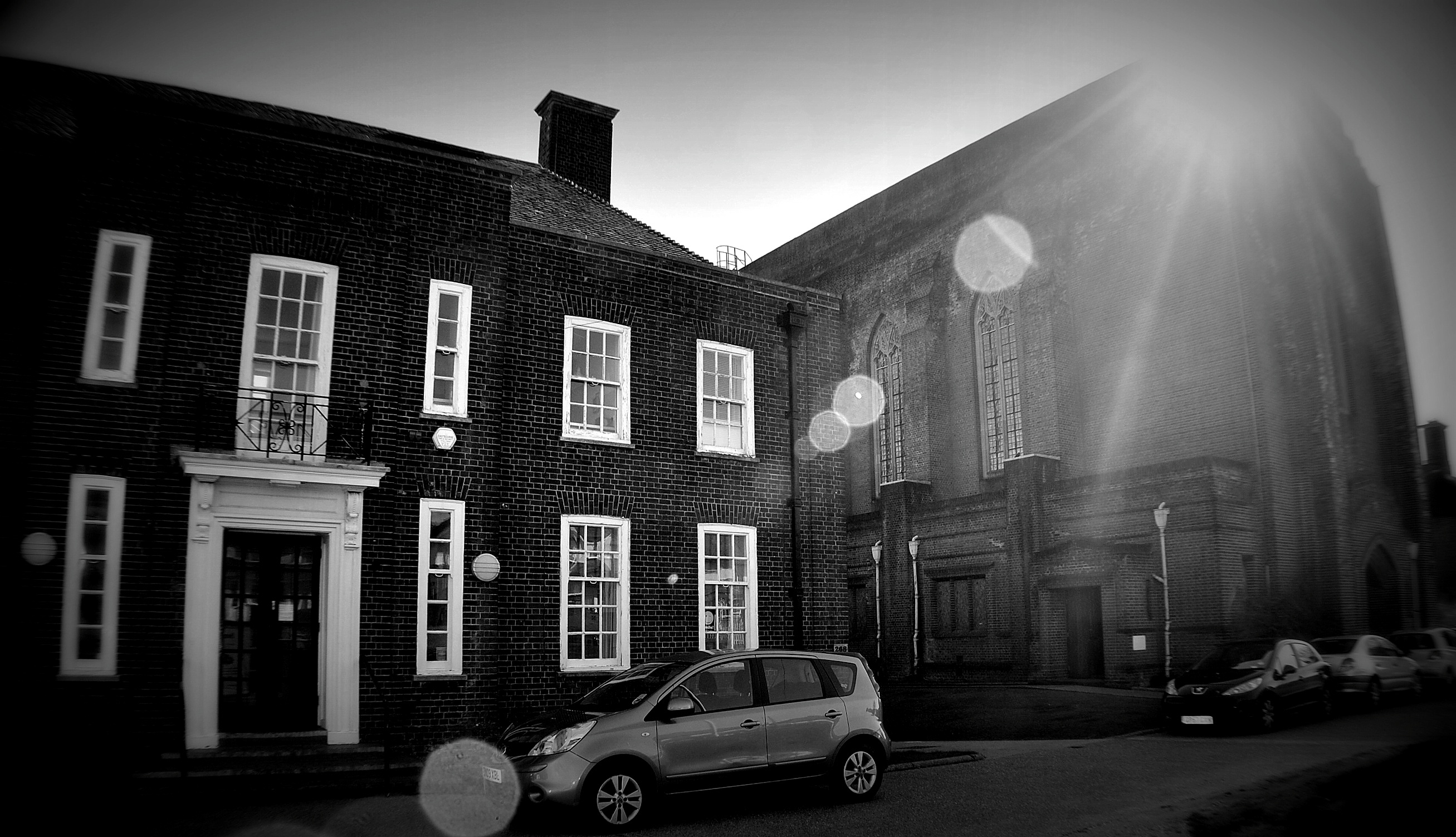
Duttle's Bottom Images
Images are sourced within 2km of 50.779637/0.21320018 or Grid Reference TQ5600. Thanks to Geograph Open Source API. All images are credited.
Duttle's Bottom is located at Grid Ref: TQ5600 (Lat: 50.779637, Lng: 0.21320018)
Administrative County: East Sussex
District: Wealden
Police Authority: Sussex
What 3 Words
///hips.pits.glove. Near Friston, East Sussex
Nearby Locations
Related Wikis
More Radio Eastbourne
More Radio Eastbourne, formerly Sovereign FM, is an Independent Local Radio station serving Eastbourne, Hailsham, Polegate and surrounding areas. It is...

East Dean and Friston
East Dean and Friston is a civil parish in the Wealden District of East Sussex, England.The two villages in the parish are in a dry valley on the South...

Combe Hill, East Sussex
Combe Hill is a causewayed enclosure, near Eastbourne in East Sussex, on the northern edge of the South Downs. It consists of an inner circuit of ditches...
Willingdon Down
Willingdon Down is a 67.5-hectare (167-acre) biological Site of Special Scientific Interest west of Willingdon, a suburb of Eastbourne in East Sussex....

Lullington Heath
Lullington Heath is a 72.7-hectare (180-acre) biological Site of Special Scientific Interest west of Eastbourne in East Sussex. It is a national nature...
St Elisabeth's Church, Eastbourne
St Elisabeth's Church is a church in the Old Town area of Eastbourne, England. It was built in 1938 to the designs of local architects Stonham & Sons and...

Seven Sisters Sheep Centre
The Seven Sisters Sheep Centre was a farm near East Dean, in the Seven Sisters Country Park of the South Downs. It held a large collection of about 50...

Seaford to Beachy Head
Seaford to Beachy Head is a 1,108.7-hectare (2,740-acre) biological and geological Site of Special Scientific Interest which stretches from Seaford to...
Related Videos

Hiking 100 Miles along The South Downs Way (In Autumn)
I Solo Hiked 100 Miles along the beautiful South Downs way in Autumn! It was a brilliant experience, with some pretty crazy ...

The South Downs Way National Trail in Three Minutes
The South Downs Way runs for 100 miles from Winchester to Eastbourne. Each year thousands head out to explore the trail - this ...

SOUTH DOWNS WAY | Wild camping & Hiking 100 miles | Part 3
The South Downs Way is one of 16 National Trails in the UK. Stretching the full width of the South Downs National Park, the trail ...
Solo hiking the South Downs Way #1
Vlog 10, Day 2 South Downs Way #SouthDownsWay #ChallengeWithCicerone It was so tough leaving London. I'd had a week ...
Nearby Amenities
Located within 500m of 50.779637,0.21320018Have you been to Duttle's Bottom?
Leave your review of Duttle's Bottom below (or comments, questions and feedback).