Chapman's Bottom
Valley in Sussex Eastbourne
England
Chapman's Bottom
Chapman's Bottom is a picturesque valley located in the county of Sussex, England. Situated near the village of West Dean, this valley is renowned for its natural beauty and tranquil environment. The valley is named after the Chapman family, who were the original settlers in the area during the 18th century.
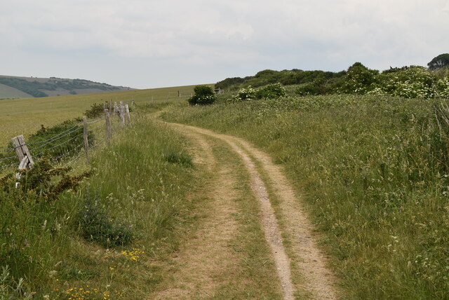
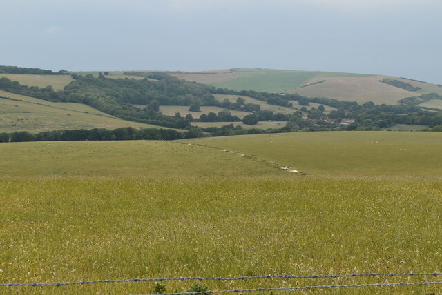
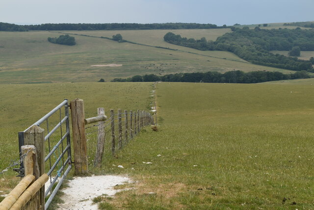
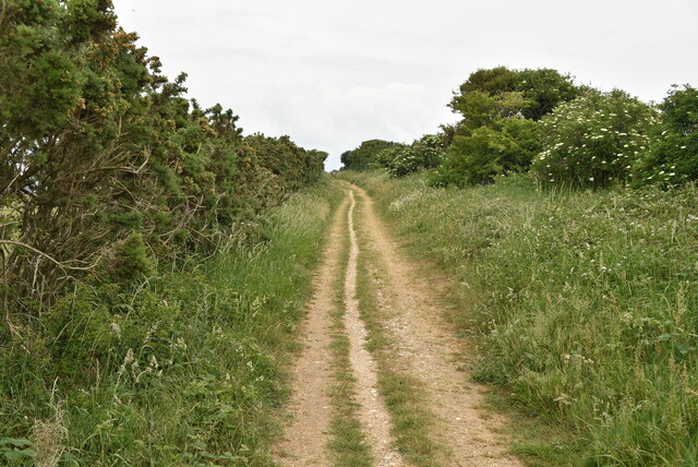
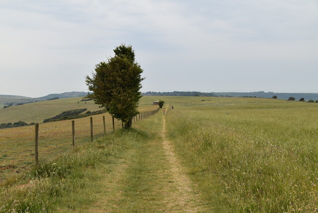
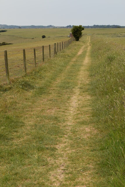
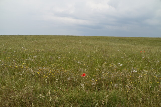
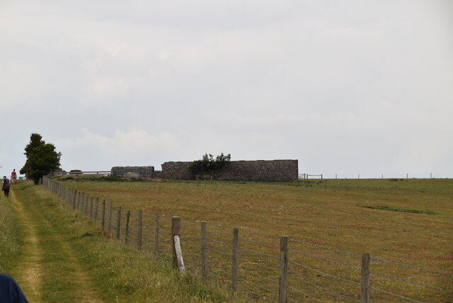
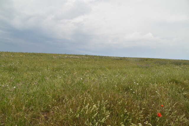
The landscape of Chapman's Bottom is characterized by rolling hills, lush green meadows, and dense woodlands. The valley is intersected by a small river, which adds to its charm and creates a peaceful ambiance. The river is home to various species of fish and provides a habitat for numerous water birds.
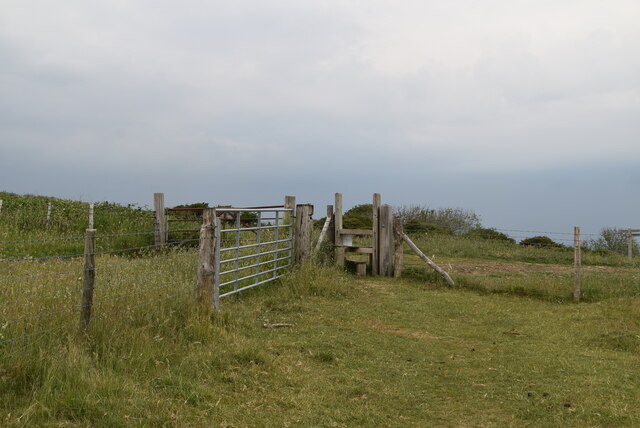
The valley is a haven for nature enthusiasts, offering a range of outdoor activities. There are several walking trails that wind through the valley, allowing visitors to explore its scenic vistas and discover the rich flora and fauna that call this area home. Chapman's Bottom is particularly known for its diverse bird population, attracting birdwatchers and wildlife photographers from far and wide.
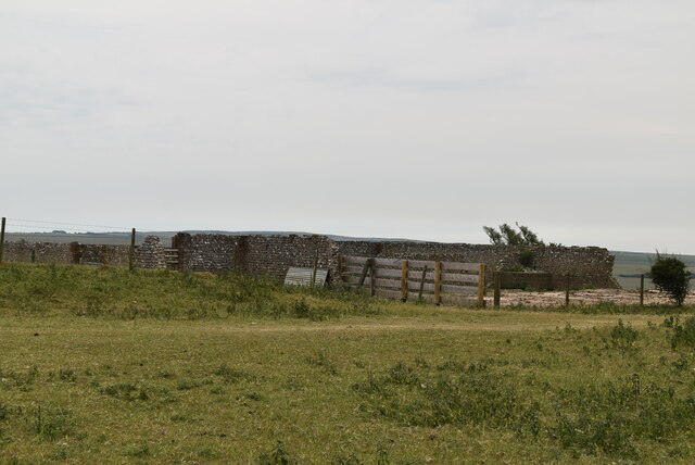
In addition to its natural beauty, Chapman's Bottom also has historical significance. The valley is dotted with ancient archaeological sites, including burial mounds and remnants of early settlements. These sites provide a glimpse into the area's past and offer a fascinating insight into the lives of its early inhabitants.
Overall, Chapman's Bottom is a hidden gem in Sussex, offering a peaceful retreat for those seeking a respite from the hustle and bustle of modern life. Its combination of natural beauty, diverse wildlife, and historical significance make it a must-visit destination for nature lovers and history enthusiasts alike.
If you have any feedback on the listing, please let us know in the comments section below.
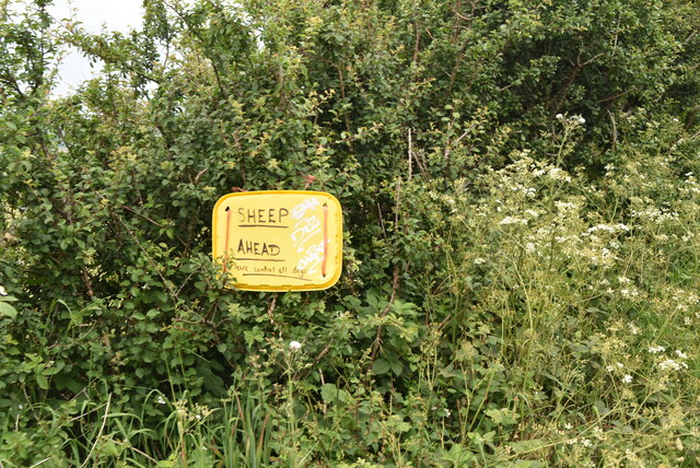
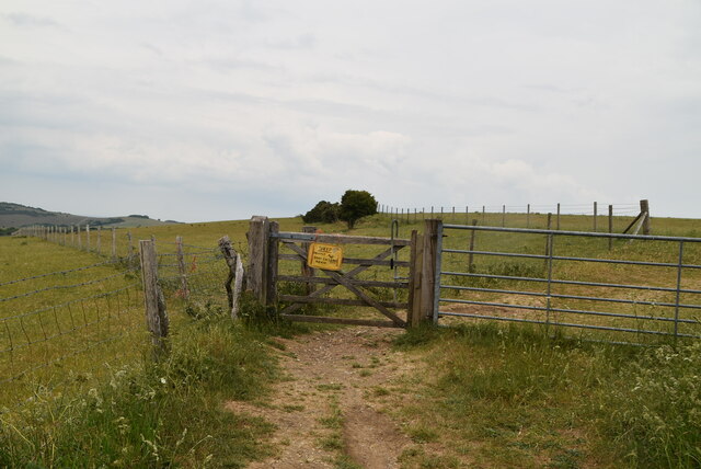
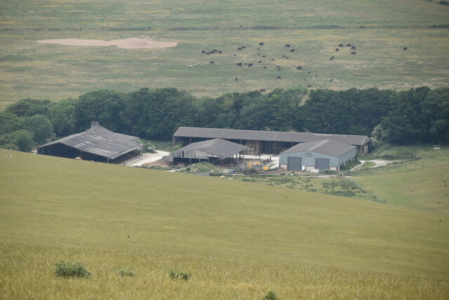
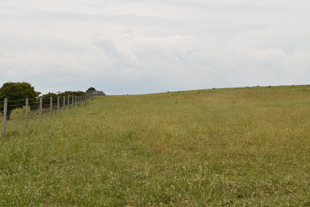
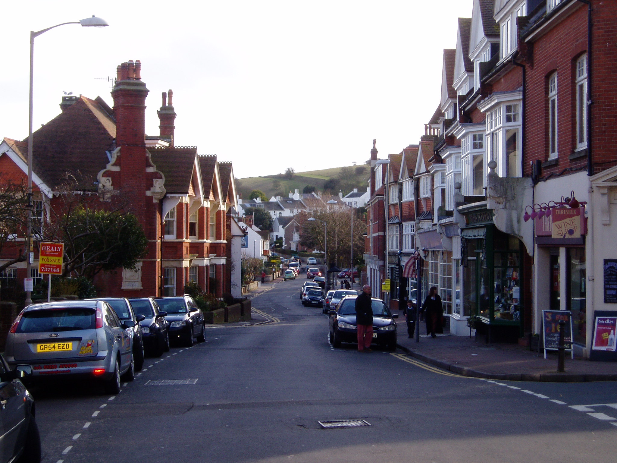
Chapman's Bottom Images
Images are sourced within 2km of 50.768908/0.22259318 or Grid Reference TV5698. Thanks to Geograph Open Source API. All images are credited.


Chapman's Bottom is located at Grid Ref: TV5698 (Lat: 50.768908, Lng: 0.22259318)
Administrative County: East Sussex
District: Eastbourne
Police Authority: Sussex
What 3 Words
///each.stable.bunks. Near Friston, East Sussex
Nearby Locations
Related Wikis

East Dean and Friston
East Dean and Friston is a civil parish in the Wealden District of East Sussex, England.The two villages in the parish are in a dry valley on the South...

Seven Sisters Sheep Centre
The Seven Sisters Sheep Centre was a farm near East Dean, in the Seven Sisters Country Park of the South Downs. It held a large collection of about 50...
St Elisabeth's Church, Eastbourne
St Elisabeth's Church is a church in the Old Town area of Eastbourne, England. It was built in 1938 to the designs of local architects Stonham & Sons and...
More Radio Eastbourne
More Radio Eastbourne, formerly Sovereign FM, is an Independent Local Radio station serving Eastbourne, Hailsham, Polegate and surrounding areas. It is...
Meads
Meads is an area of the town of Eastbourne in the English county of East Sussex. It is situated at the westerly end of the town below the South Downs....
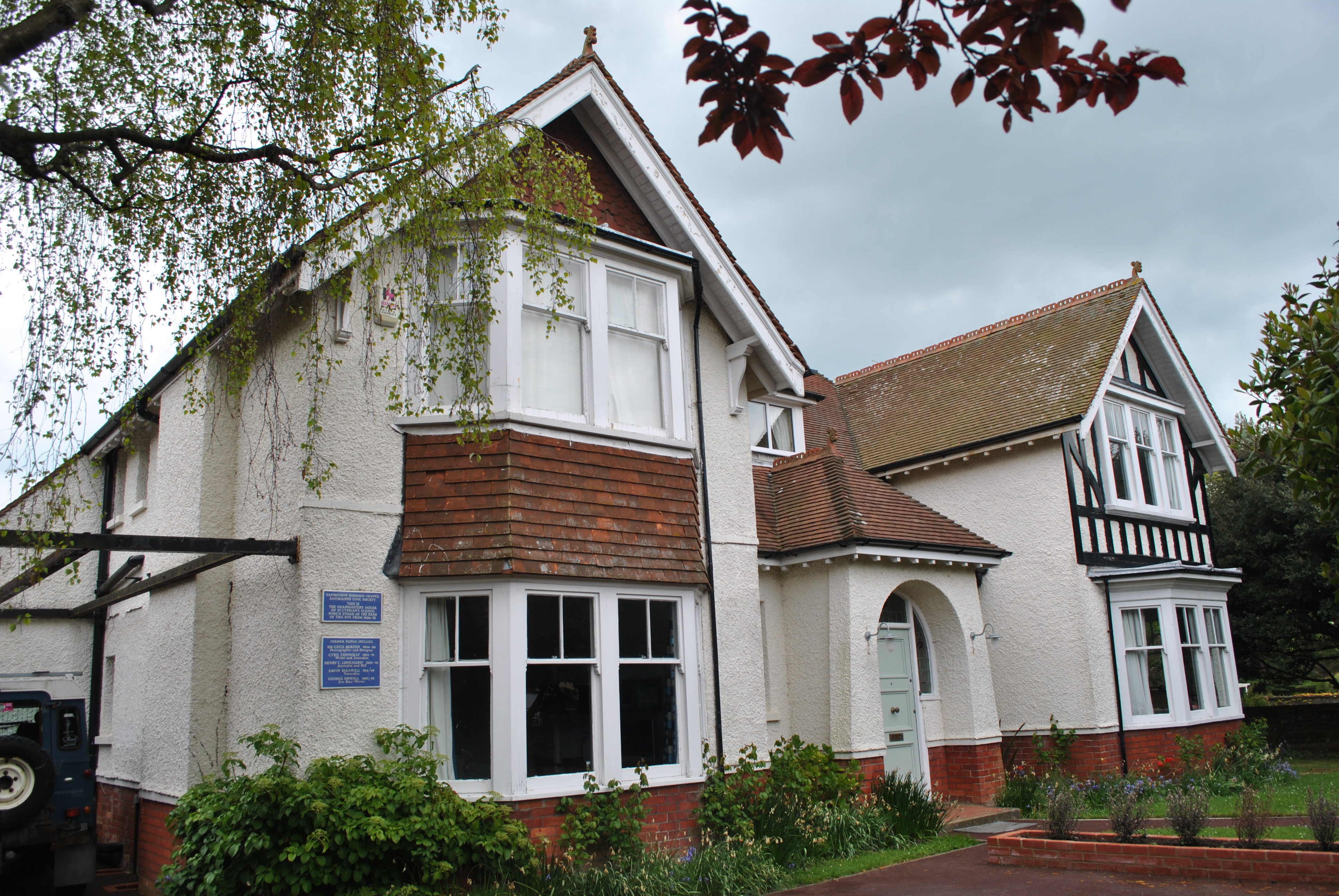
St Cyprian's School
St Cyprian's School was an English preparatory school for boys, which operated in the early 20th century in Eastbourne, East Sussex. Like other preparatory...

Cavendish School, Eastbourne
The Cavendish School, commonly known as Cavendish School or Cavendish, is a coeducational All-through school with academy status, located in Eastbourne...

Moira House School
Moira House School was an independent day and boarding school for girls aged 6 weeks to 18 years in Eastbourne, East Sussex, England, from 1887 to 2020...
Nearby Amenities
Located within 500m of 50.768908,0.22259318Have you been to Chapman's Bottom?
Leave your review of Chapman's Bottom below (or comments, questions and feedback).