Bromley Bottom
Valley in Hertfordshire East Hertfordshire
England
Bromley Bottom
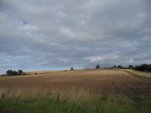
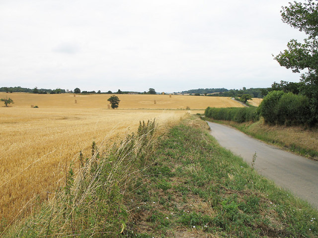
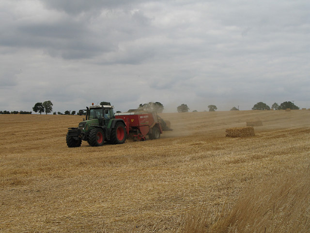
Bromley Bottom is a picturesque valley located in the county of Hertfordshire, England. Nestled in the Chiltern Hills, this tranquil and scenic area offers breathtaking views of rolling hills, lush greenery, and meandering streams.
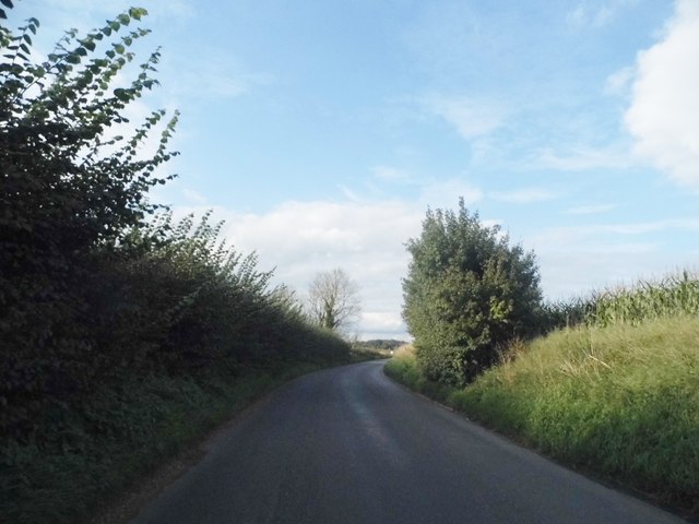
Situated just a few miles away from the town of Berkhamsted, Bromley Bottom is known for its unspoiled natural beauty and rich biodiversity. The valley is home to a variety of wildlife, including deer, foxes, rabbits, and a plethora of bird species. Nature enthusiasts can explore the numerous walking trails that crisscross the valley, allowing them to immerse themselves in the serene surroundings.
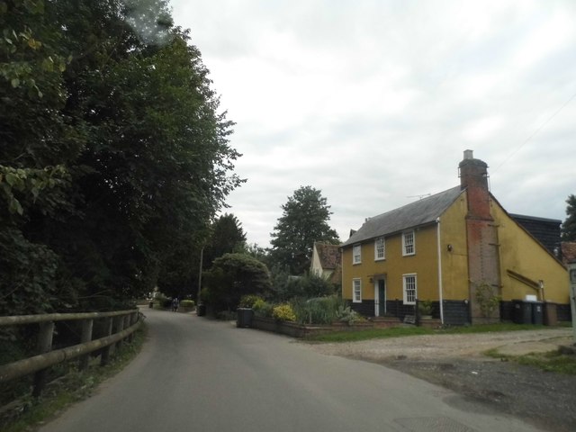
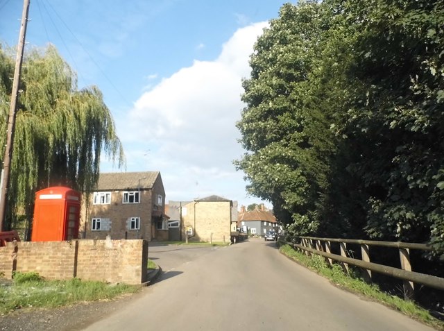
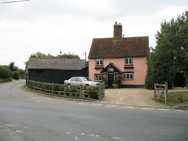
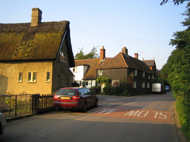
The charming village of Bromley Bottom is located at the heart of the valley, boasting a small community of residents who enjoy a peaceful rural lifestyle. The village is characterized by its quaint cottages, traditional architecture, and well-manicured gardens. The local pub, The Bromley Arms, is a popular gathering spot where locals and visitors can enjoy a pint of ale and traditional English fare.
The valley also has historical significance, with evidence of human habitation dating back to the Iron Age. Archaeological discoveries, such as ancient burial mounds and Roman artifacts, highlight the valley's rich heritage.
Overall, Bromley Bottom is a hidden gem in Hertfordshire, offering a peaceful retreat for those seeking an escape from the hustle and bustle of urban life. Whether it's a leisurely walk, a picnic by the stream, or simply enjoying the stunning views, Bromley Bottom provides a serene and idyllic setting for nature lovers and history enthusiasts alike.
If you have any feedback on the listing, please let us know in the comments section below.
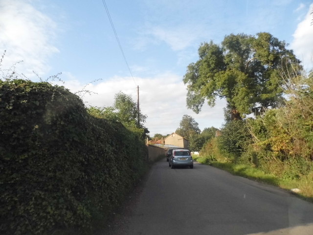
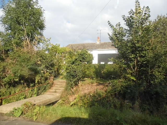
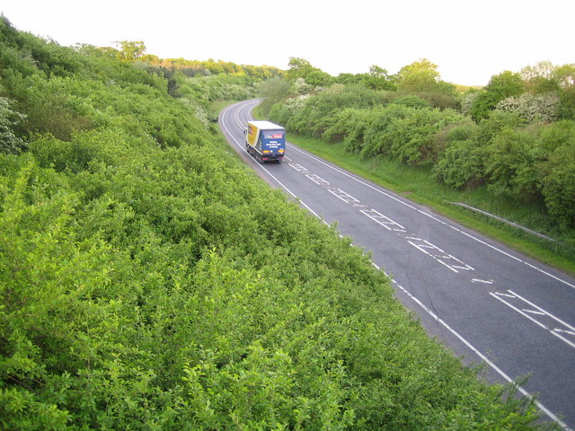
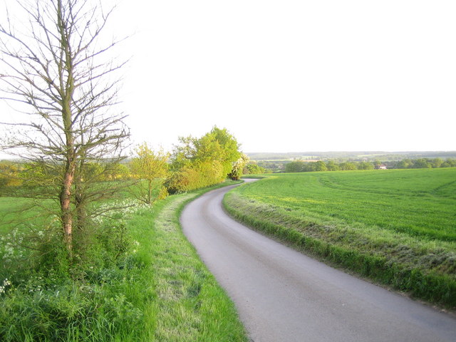
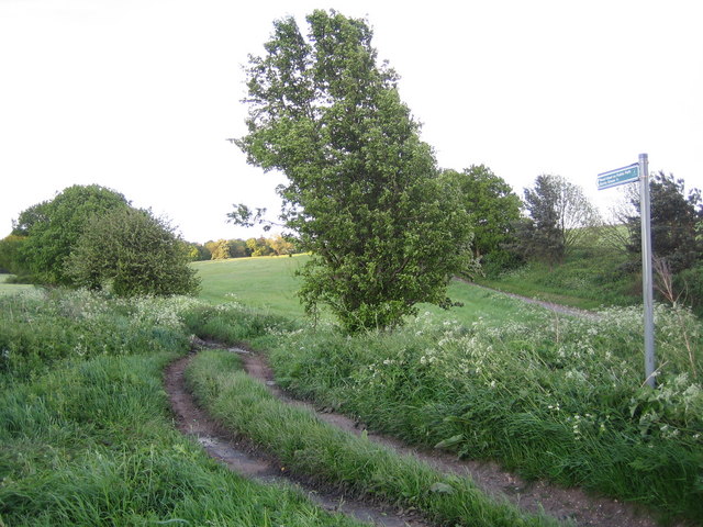
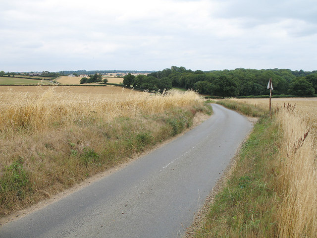
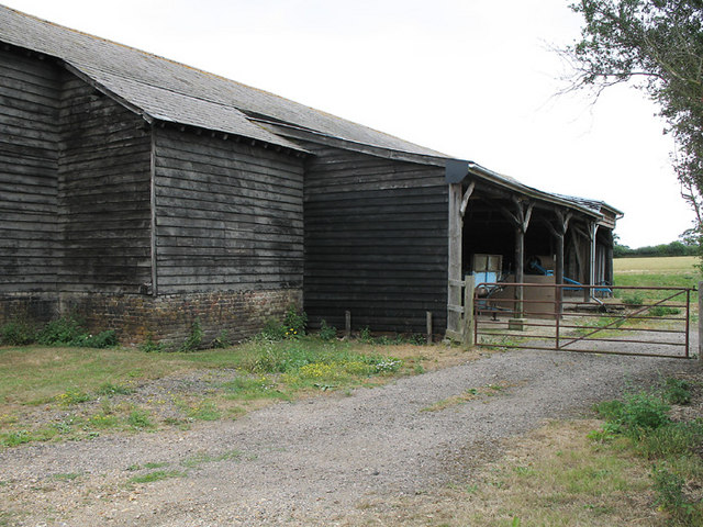
Bromley Bottom Images
Images are sourced within 2km of 51.867727/-0.091315071 or Grid Reference TL3120. Thanks to Geograph Open Source API. All images are credited.


Bromley Bottom is located at Grid Ref: TL3120 (Lat: 51.867727, Lng: -0.091315071)
Administrative County: Hertfordshire
District: East Hertfordshire
Police Authority: Hertfordshire
What 3 Words
///detail.invest.shield. Near Watton at Stone, Hertfordshire
Nearby Locations
Related Wikis

Whempstead
Whempstead is a hamlet in the parish of Watton-at-Stone, situated north of Hertford and to the south-east of Stevenage in Hertfordshire, it is close to...

Heath Mount School
Heath Mount School is a Church of England co-educational independent prep school near Watton-at-Stone, Hertfordshire, England. It admits pupils aged 3...
Woodhall Park
Woodhall Park is a Grade I listed country house near Watton-at-Stone, Hertfordshire, England. The 18th century neo-classical building is set in a walled...
Watton-at-Stone
Watton-at-Stone is a village and civil parish in Hertfordshire, England, and is midway between the towns of Stevenage and Hertford in the valley of the...

Sacombe
Sacombe is a village and civil parish in the East Hertfordshire district, of Hertfordshire, England. At the 2001 census it had a population of 165. Sacombe...
Dane End
Dane End is a hamlet to the north of Ware in Hertfordshire, England situated between the A602 and A10. It is within Little Munden civil parish and East...
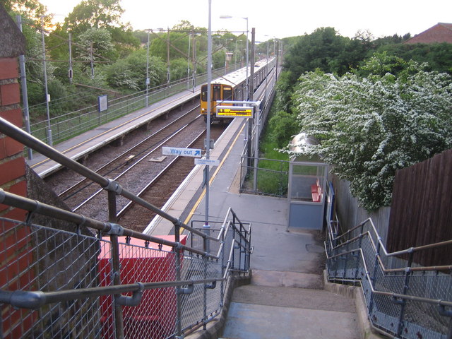
Watton-at-Stone railway station
Watton-at-Stone railway station serves the village of Watton-at-Stone in Hertfordshire, England. It is 23 miles 72 chains (23.90 miles, 38.46 km) down...

Little Munden Primary School
Little Munden Primary School is a Church of England voluntary controlled primary school in the village of Dane End, near Ware in Hertfordshire. It is a...
Nearby Amenities
Located within 500m of 51.867727,-0.091315071Have you been to Bromley Bottom?
Leave your review of Bromley Bottom below (or comments, questions and feedback).