Hog's Wood
Wood, Forest in Hertfordshire East Hertfordshire
England
Hog's Wood
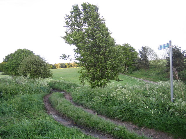
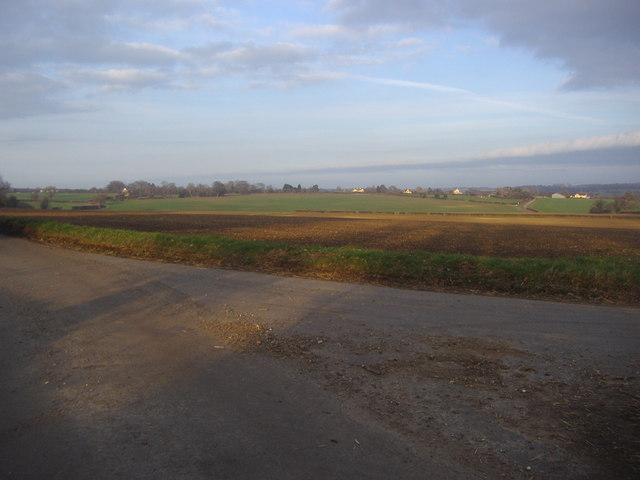
Hog's Wood is a quaint and picturesque forest located in Hertfordshire, England. Spanning over 100 acres of land, this woodland is a popular destination for nature lovers and hikers alike. The wood is situated in a rural area, surrounded by rolling hills and fields, providing a peaceful and serene atmosphere.
The wood is predominantly composed of oak and beech trees, creating a dense canopy that offers shade and shelter to various flora and fauna. The forest floor is adorned with a carpet of bluebells during the spring months, adding a burst of color to the surroundings. The diverse range of plant life includes ferns, wildflowers, and mosses, creating a rich and vibrant ecosystem.
Hog's Wood is home to an abundance of wildlife, making it a haven for nature enthusiasts and birdwatchers. Visitors may spot species such as foxes, rabbits, deer, and squirrels roaming freely among the trees. Bird species such as woodpeckers, owls, and various songbirds can also be observed and heard throughout the wood.
Several walking trails wind their way through Hog's Wood, allowing visitors to explore its natural beauty. The paths are well-maintained and clearly marked, ensuring a pleasant and accessible experience for all. There are designated picnic areas and benches along the trails, providing opportunities to rest and appreciate the tranquil surroundings.
Overall, Hog's Wood in Hertfordshire offers a peaceful and scenic escape from the hustle and bustle of daily life. Its natural beauty, diverse wildlife, and well-maintained trails make it a must-visit destination for those seeking a connection with nature.
If you have any feedback on the listing, please let us know in the comments section below.
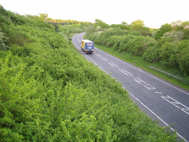
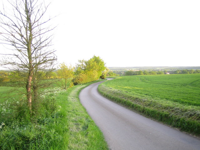
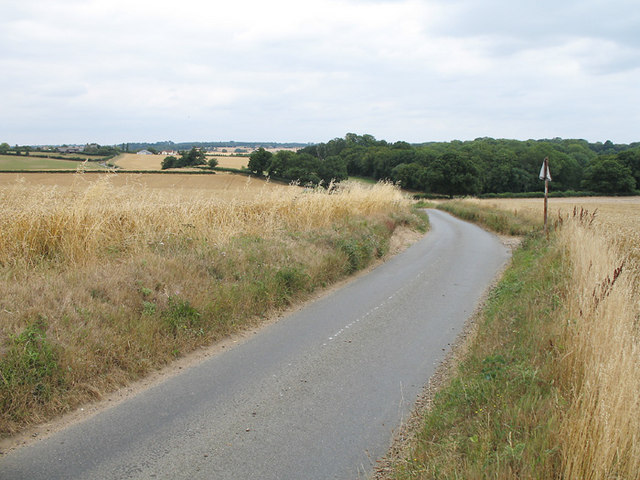
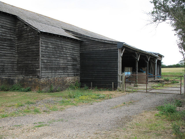
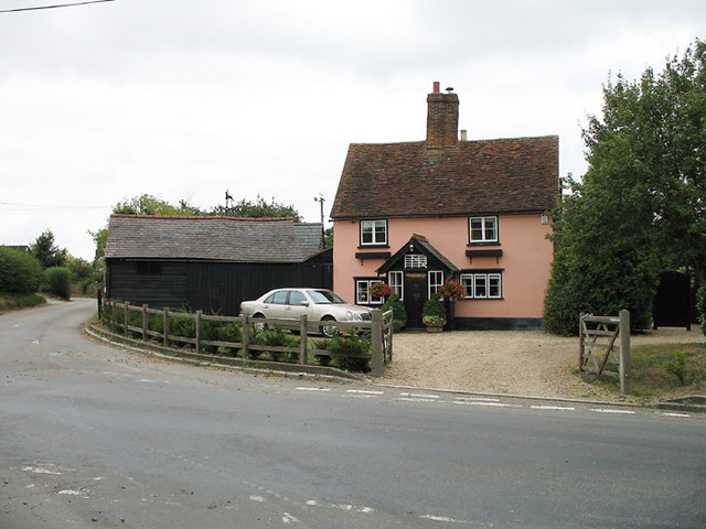
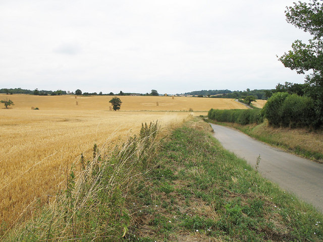
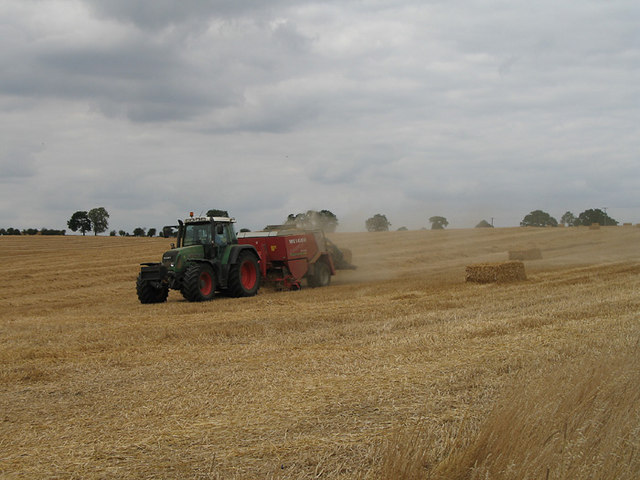
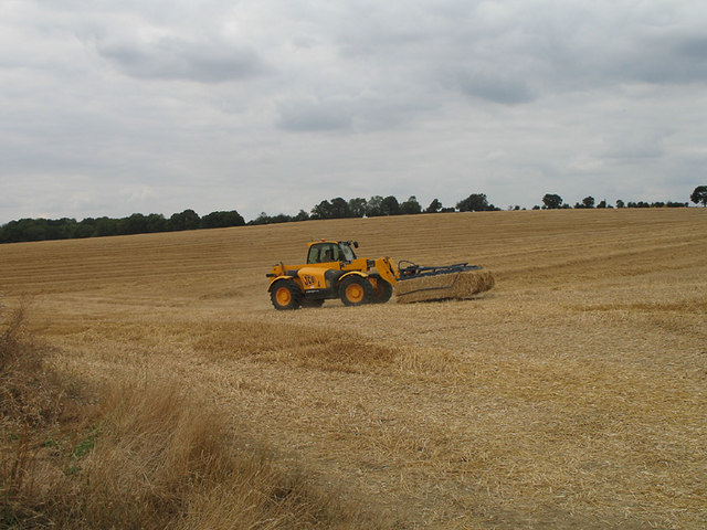
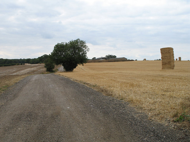
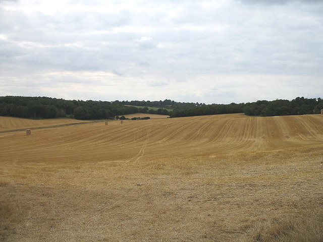
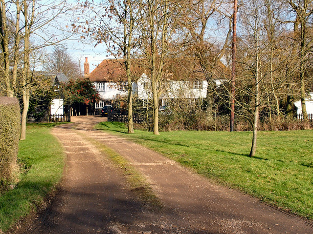
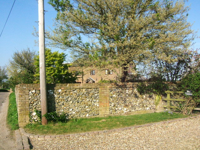
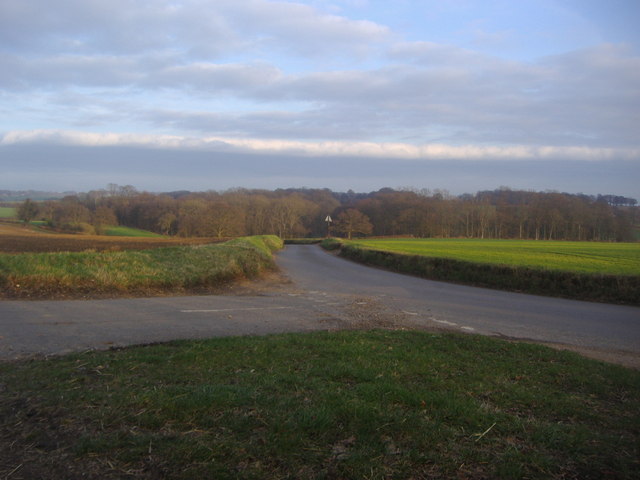
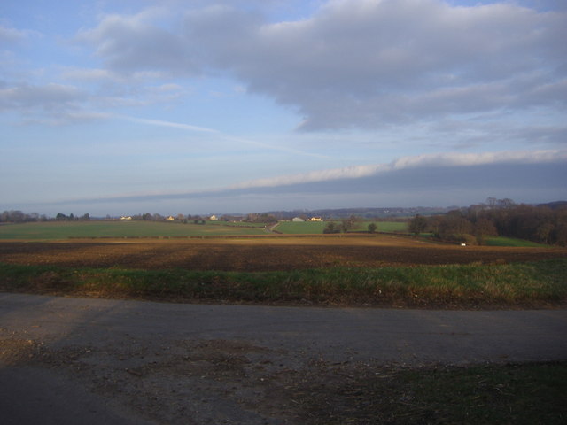
Hog's Wood Images
Images are sourced within 2km of 51.871208/-0.095845151 or Grid Reference TL3120. Thanks to Geograph Open Source API. All images are credited.
Hog's Wood is located at Grid Ref: TL3120 (Lat: 51.871208, Lng: -0.095845151)
Administrative County: Hertfordshire
District: East Hertfordshire
Police Authority: Hertfordshire
What 3 Words
///unity.hotels.shiny. Near Watton at Stone, Hertfordshire
Nearby Locations
Related Wikis

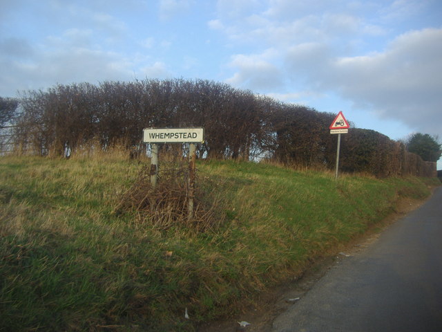
Whempstead
Whempstead is a hamlet in the parish of Watton-at-Stone, situated north of Hertford and to the south-east of Stevenage in Hertfordshire, it is close to...
Watton-at-Stone
Watton-at-Stone is a village and civil parish in Hertfordshire, England, and is midway between the towns of Stevenage and Hertford in the valley of the...

Heath Mount School
Heath Mount School is a Church of England co-educational independent prep school near Watton-at-Stone, Hertfordshire, England. It admits pupils aged 3...
Woodhall Park
Woodhall Park is a Grade I listed country house near Watton-at-Stone, Hertfordshire, England. The 18th century neo-classical building is set in a walled...
Dane End
Dane End is a hamlet to the north of Ware in Hertfordshire, England situated between the A602 and A10. It is within Little Munden civil parish and East...
Watton-at-Stone railway station
Watton-at-Stone railway station serves the village of Watton-at-Stone in Hertfordshire, England. It is 23 miles 72 chains (23.90 miles, 38.46 km) down...

Sacombe
Sacombe is a village and civil parish in the East Hertfordshire district, of Hertfordshire, England. At the 2001 census it had a population of 165. Sacombe...

Little Munden Primary School
Little Munden Primary School is a Church of England voluntary controlled primary school in the village of Dane End, near Ware in Hertfordshire. It is a...
Nearby Amenities
Located within 500m of 51.871208,-0.095845151Have you been to Hog's Wood?
Leave your review of Hog's Wood below (or comments, questions and feedback).