Bromley Common
Downs, Moorland in Hertfordshire East Hertfordshire
England
Bromley Common
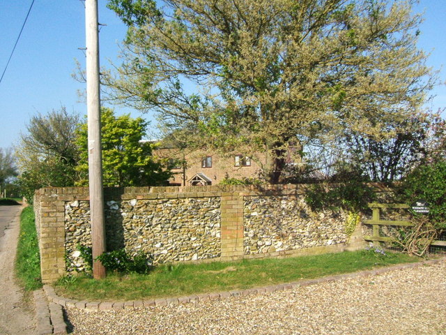
Bromley Common is a stunning rural area located in Hertfordshire, England. Known for its picturesque downs and moorland, it is a popular destination for nature enthusiasts and hikers.
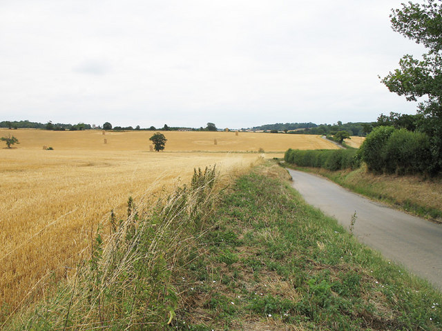
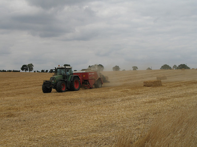
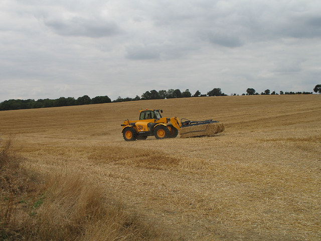
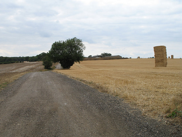
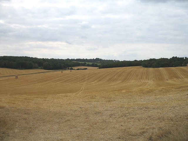
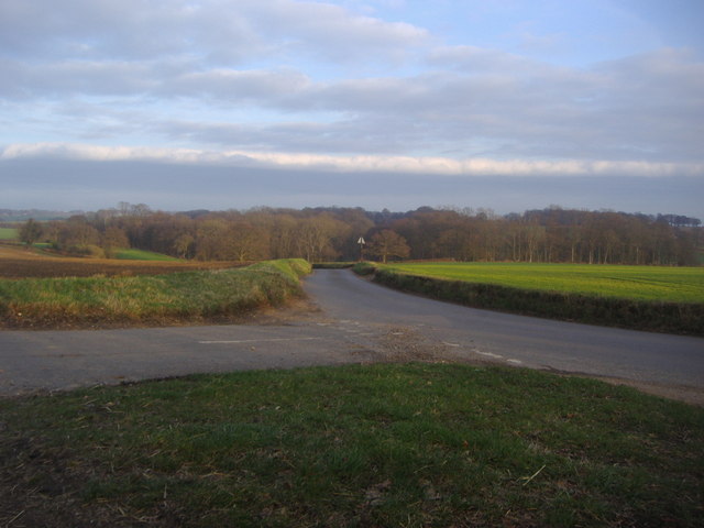
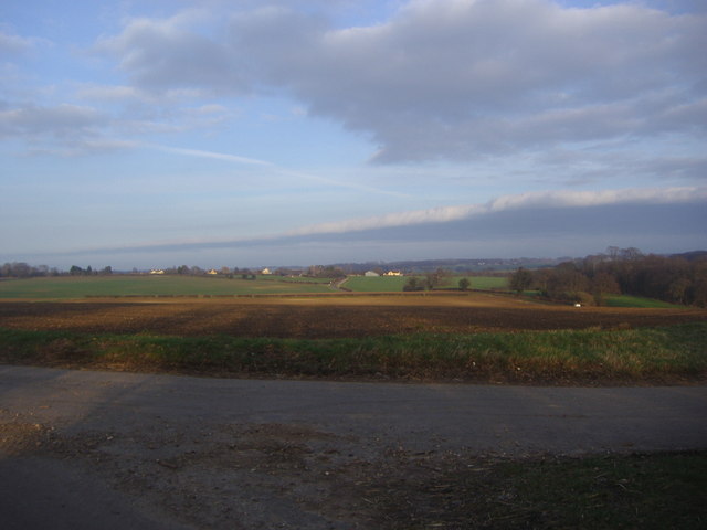
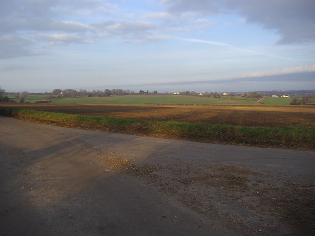
The downs of Bromley Common offer breathtaking views of the surrounding countryside. With vast open spaces and rolling hills, it is a perfect spot for outdoor activities such as picnicking, kite flying, and dog walking. The downs are also home to a diverse range of wildlife, including various bird species and small mammals, making it a haven for birdwatchers and nature photographers.
Adjacent to the downs, the moorland of Bromley Common provides an entirely different landscape. Characterized by its heather-covered terrain, the moorland offers a unique and tranquil environment. Visitors can wander through the purple carpet of heather, enjoying the peaceful atmosphere and spotting rare plant species that thrive in this habitat.
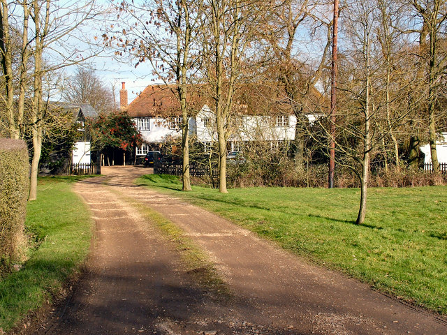
The area surrounding Bromley Common is dotted with charming villages and historic sites. Nearby attractions include ancient churches, quaint country pubs, and stately homes. The village of Bromley itself is known for its traditional architecture and friendly community.
Bromley Common is easily accessible by car and public transportation, making it an ideal day trip destination for locals and tourists alike. Whether you are looking for a peaceful walk in nature, a picnic with stunning views, or an opportunity to explore the rural beauty of Hertfordshire, Bromley Common is a must-visit location.
If you have any feedback on the listing, please let us know in the comments section below.
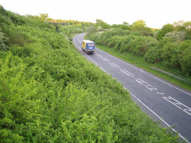
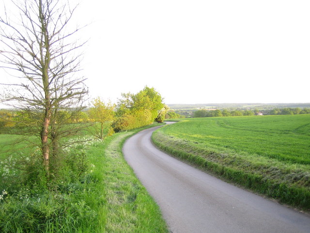
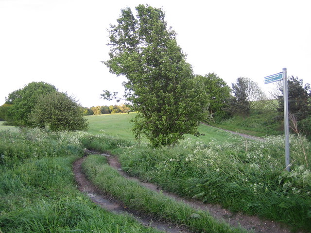
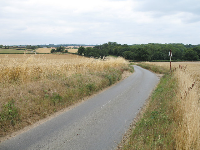
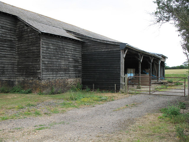
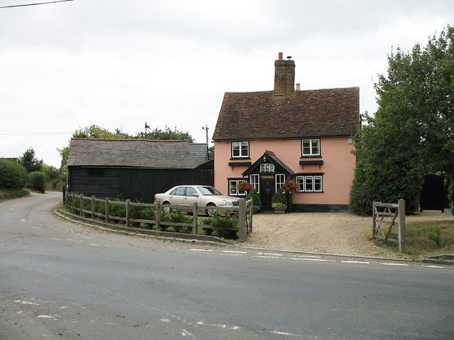
Bromley Common Images
Images are sourced within 2km of 51.866269/-0.096794527 or Grid Reference TL3120. Thanks to Geograph Open Source API. All images are credited.
Bromley Common is located at Grid Ref: TL3120 (Lat: 51.866269, Lng: -0.096794527)
Administrative County: Hertfordshire
District: East Hertfordshire
Police Authority: Hertfordshire
What 3 Words
///start.cars.letter. Near Watton at Stone, Hertfordshire
Nearby Locations
Related Wikis

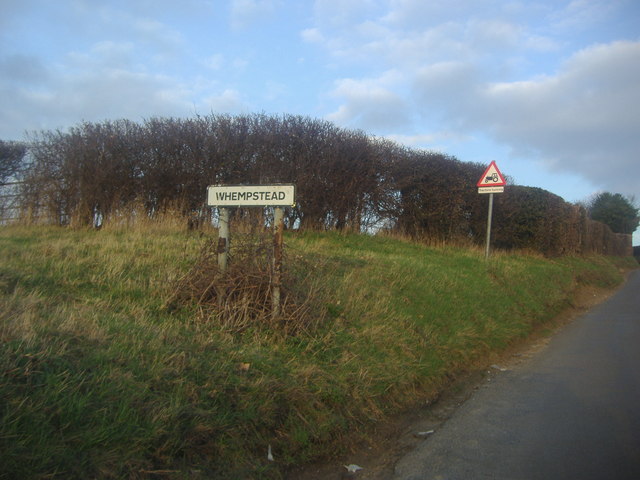
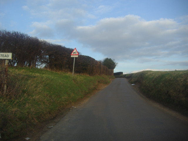
Whempstead
Whempstead is a hamlet in the parish of Watton-at-Stone, situated north of Hertford and to the south-east of Stevenage in Hertfordshire, it is close to...
Watton-at-Stone
Watton-at-Stone is a village and civil parish in Hertfordshire, England, and is midway between the towns of Stevenage and Hertford in the valley of the...

Heath Mount School
Heath Mount School is a Church of England co-educational independent prep school near Watton-at-Stone, Hertfordshire, England. It admits pupils aged 3...
Woodhall Park
Woodhall Park is a Grade I listed country house near Watton-at-Stone, Hertfordshire, England. The 18th century neo-classical building is set in a walled...
Nearby Amenities
Located within 500m of 51.866269,-0.096794527Have you been to Bromley Common?
Leave your review of Bromley Common below (or comments, questions and feedback).