Bromley Spring
Wood, Forest in Hertfordshire East Hertfordshire
England
Bromley Spring
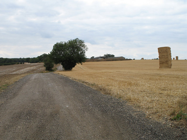
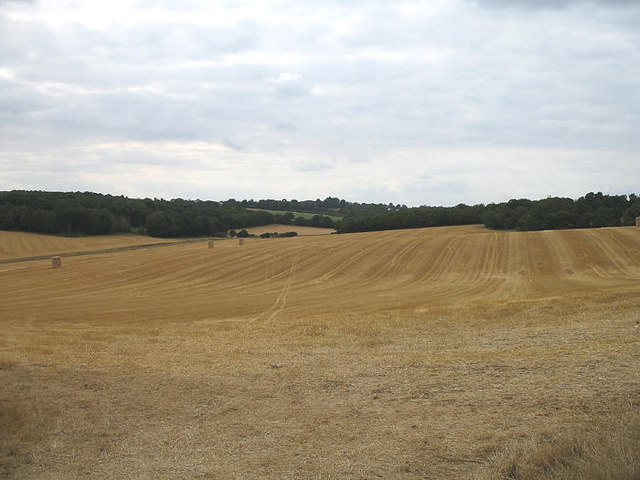
Bromley Spring is a picturesque woodland located in Hertfordshire, England. Spread across a sprawling area, this enchanting forest is a haven for nature lovers and outdoor enthusiasts alike.
The woodland is characterized by its dense growth of mature trees, including oak, beech, and birch, which create a serene and tranquil atmosphere. A carpet of vibrant wildflowers blankets the forest floor, adding a splash of color to the surroundings. The diversity of flora and fauna in Bromley Spring makes it a thriving ecosystem, attracting a wide range of wildlife including squirrels, rabbits, deer, and various species of birds.
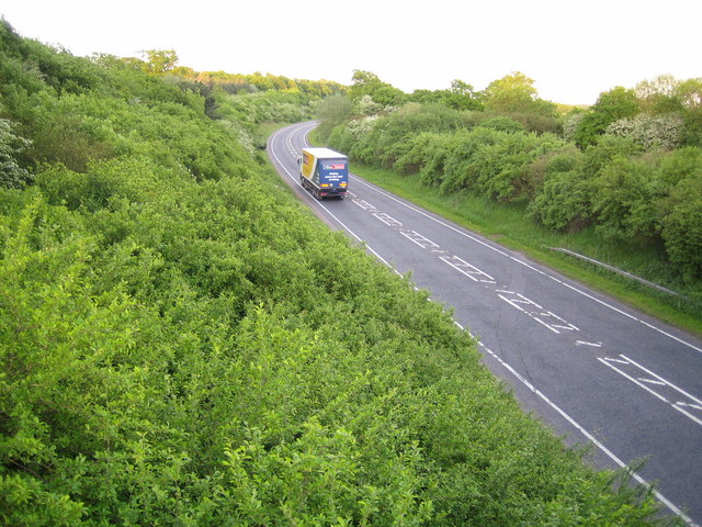
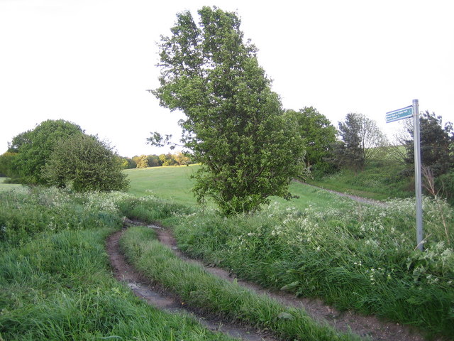
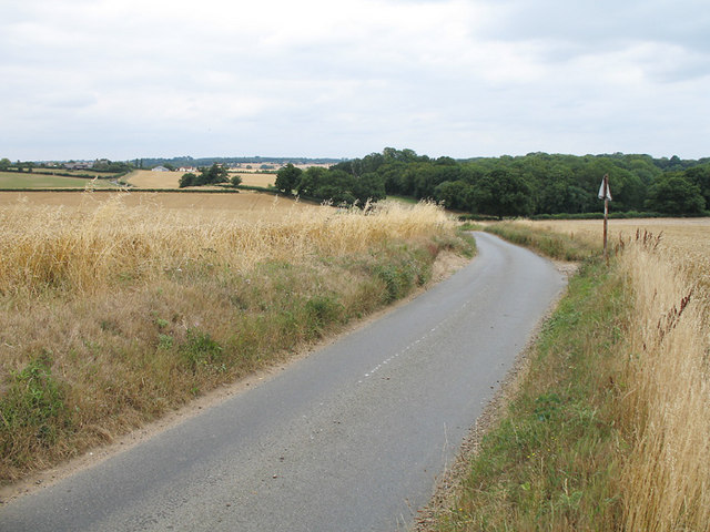
The forest features numerous walking trails and pathways, allowing visitors to explore its natural beauty at their own pace. These paths wind through the woods, providing stunning views of the surrounding countryside. Along the way, visitors may come across babbling brooks and small streams, which add to the idyllic charm of the area.
Bromley Spring offers a variety of recreational activities for visitors to enjoy. It is a popular destination for hiking, jogging, and cycling, with designated trails catering to different skill levels. The forest also provides ample space for picnics and family gatherings, with several designated areas equipped with benches and picnic tables.
In addition to its natural beauty, Bromley Spring holds historical significance. It is said to have played a role in local folklore and legends, adding an air of mystery and intrigue to the woodland.
Overall, Bromley Spring in Hertfordshire is a captivating destination that showcases the beauty of nature and offers a tranquil retreat from the hustle and bustle of everyday life.
If you have any feedback on the listing, please let us know in the comments section below.
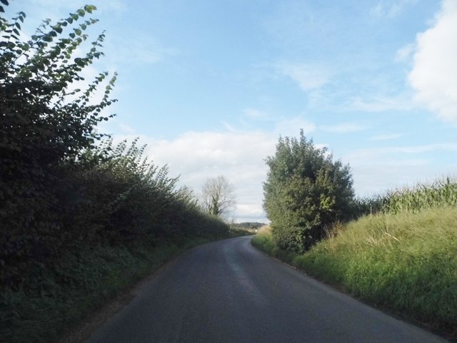
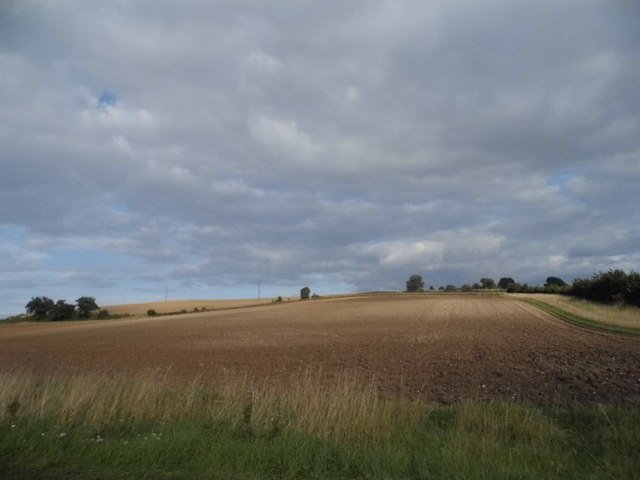
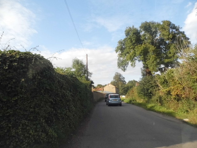
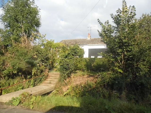
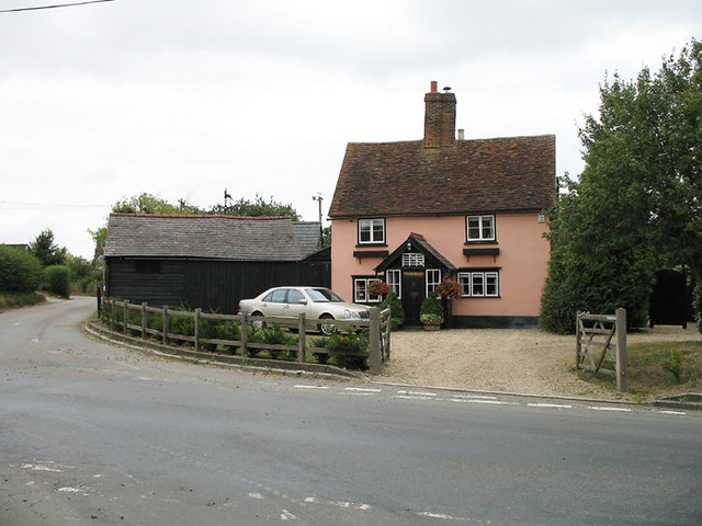
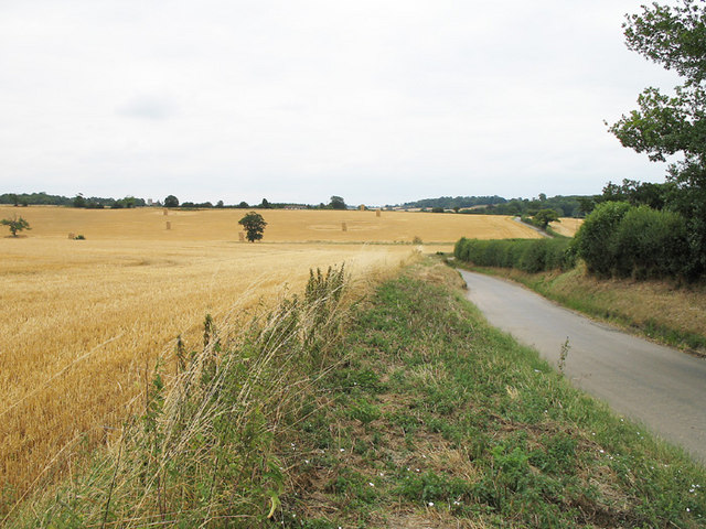
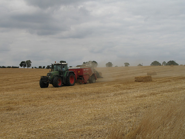
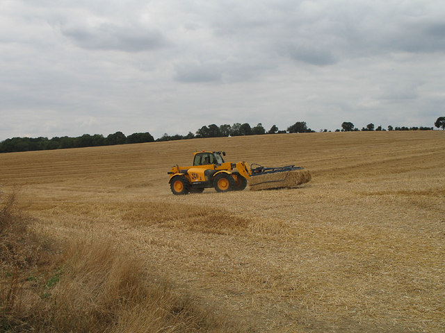
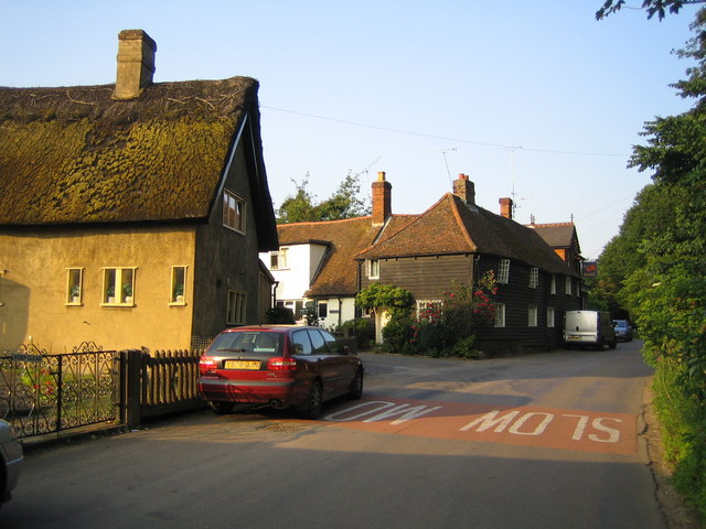
Bromley Spring Images
Images are sourced within 2km of 51.866167/-0.092136412 or Grid Reference TL3120. Thanks to Geograph Open Source API. All images are credited.


Bromley Spring is located at Grid Ref: TL3120 (Lat: 51.866167, Lng: -0.092136412)
Administrative County: Hertfordshire
District: East Hertfordshire
Police Authority: Hertfordshire
What 3 Words
///drums.entire.gave. Near Watton at Stone, Hertfordshire
Nearby Locations
Related Wikis

Whempstead
Whempstead is a hamlet in the parish of Watton-at-Stone, situated north of Hertford and to the south-east of Stevenage in Hertfordshire, it is close to...

Heath Mount School
Heath Mount School is a Church of England co-educational independent prep school near Watton-at-Stone, Hertfordshire, England. It admits pupils aged 3...
Woodhall Park
Woodhall Park is a Grade I listed country house near Watton-at-Stone, Hertfordshire, England. The 18th century neo-classical building is set in a walled...
Watton-at-Stone
Watton-at-Stone is a village and civil parish in Hertfordshire, England, and is midway between the towns of Stevenage and Hertford in the valley of the...

Sacombe
Sacombe is a village and civil parish in the East Hertfordshire district, of Hertfordshire, England. At the 2001 census it had a population of 165. Sacombe...
Dane End
Dane End is a hamlet to the north of Ware in Hertfordshire, England situated between the A602 and A10. It is within Little Munden civil parish and East...
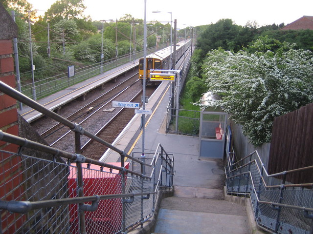
Watton-at-Stone railway station
Watton-at-Stone railway station serves the village of Watton-at-Stone in Hertfordshire, England. It is 23 miles 72 chains (23.90 miles, 38.46 km) down...

Little Munden Primary School
Little Munden Primary School is a Church of England voluntary controlled primary school in the village of Dane End, near Ware in Hertfordshire. It is a...
Nearby Amenities
Located within 500m of 51.866167,-0.092136412Have you been to Bromley Spring?
Leave your review of Bromley Spring below (or comments, questions and feedback).