Hungry Bottom
Valley in Sussex Mid Sussex
England
Hungry Bottom
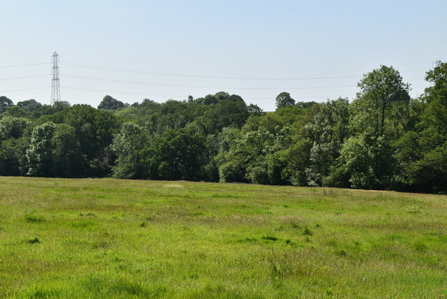
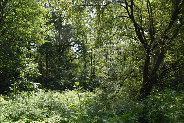
Hungry Bottom is a small village located in the county of Sussex, England. Situated in the picturesque Sussex Valley, the village is known for its idyllic rural setting and charming countryside atmosphere. It is surrounded by rolling hills, lush green farmlands, and meandering streams, offering breathtaking views to its residents and visitors.
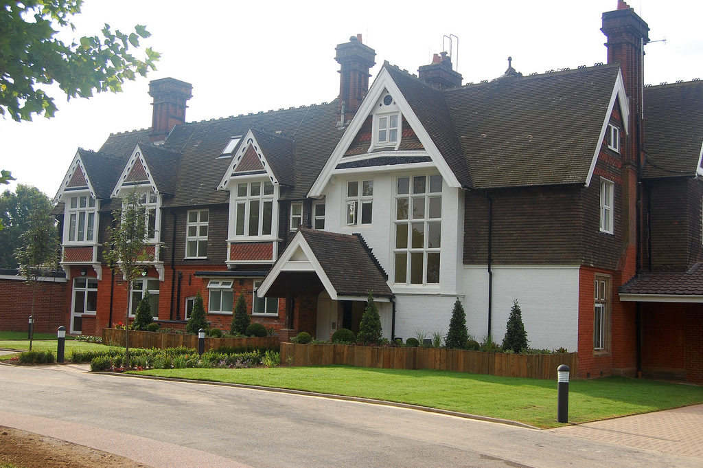
With a population of just over 500 people, Hungry Bottom maintains a close-knit community feel. The village is comprised of traditional English cottages, many of which date back several centuries, adding to its historical charm. The architecture reflects the region's rich heritage, with timber-framed houses and thatched roofs being common sights.
Despite its small size, Hungry Bottom offers several amenities to its residents. There is a local pub, The Hungry Horse, which serves as a social hub for villagers and a place to enjoy traditional English pub food. The village also has a primary school, a village hall, and a small convenience store, providing essential services to the community.
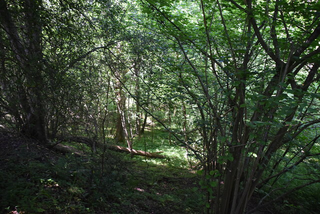
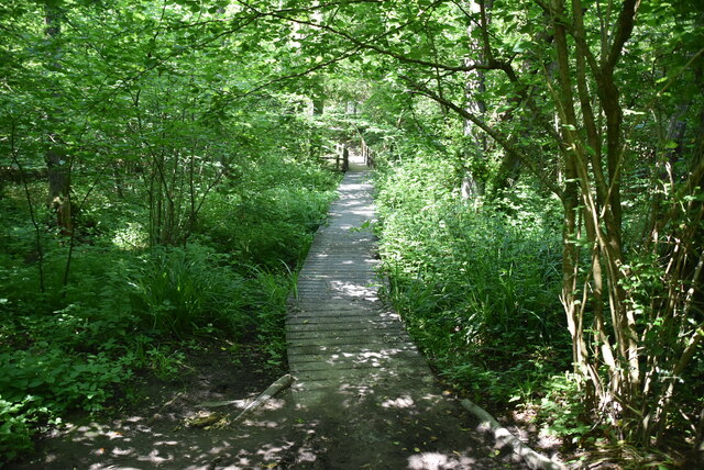
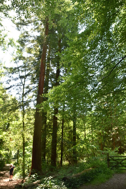
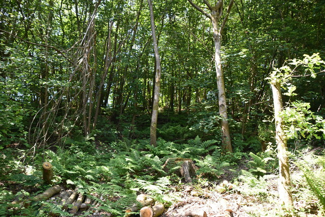
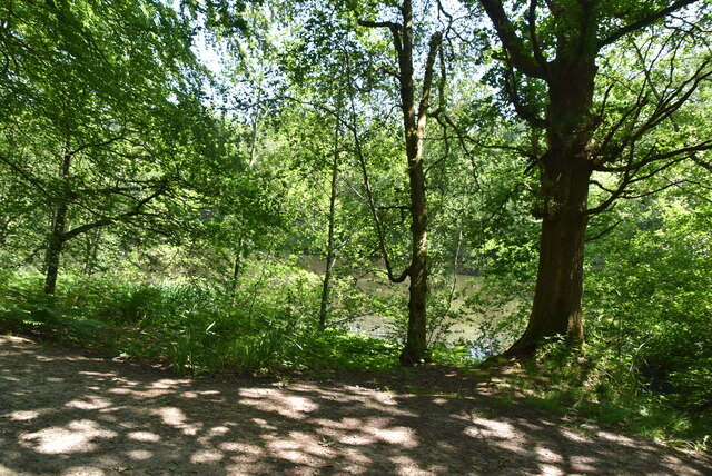
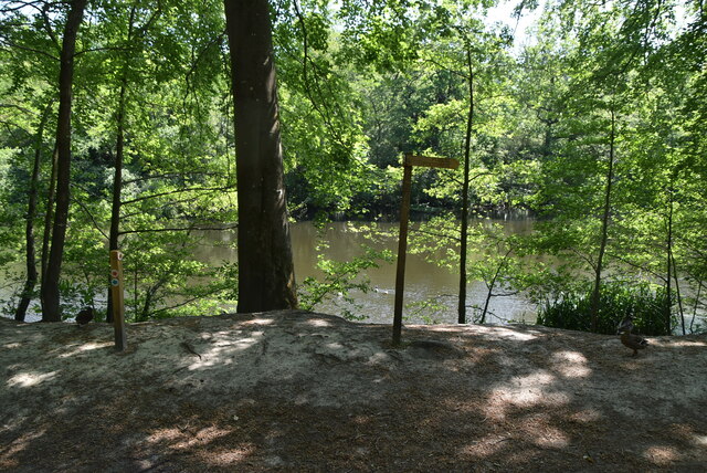
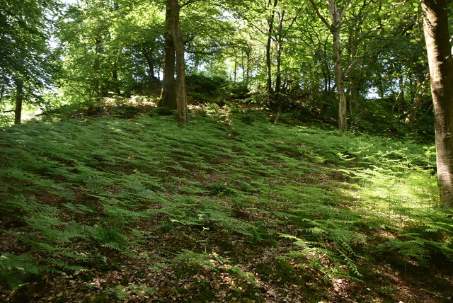
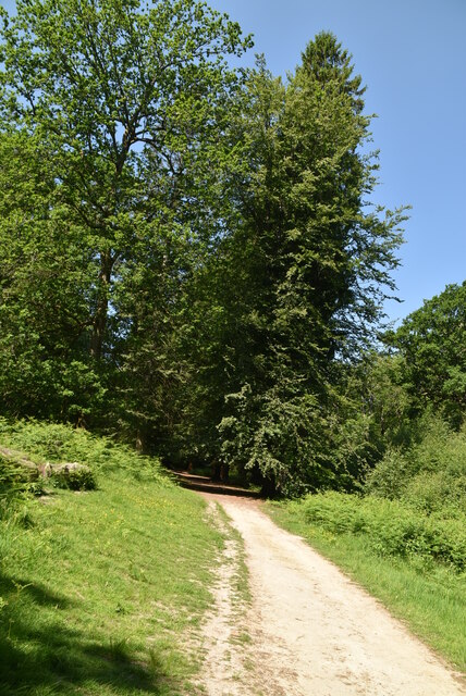
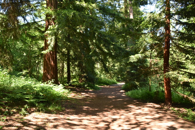
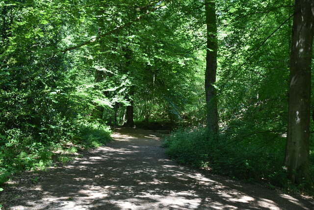
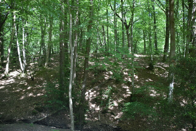
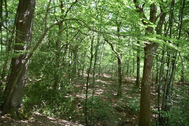
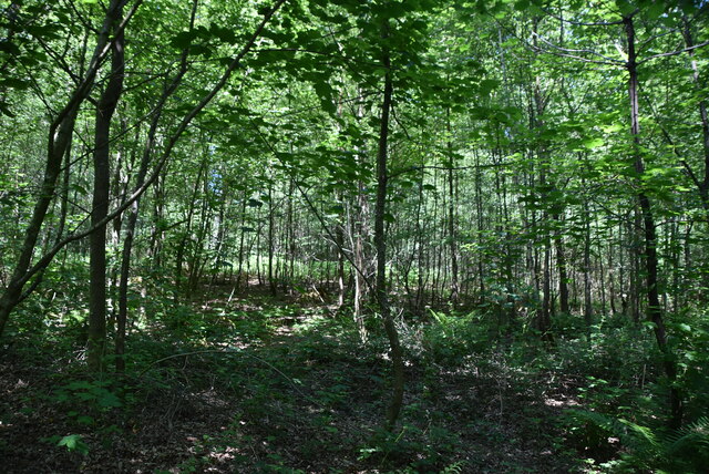
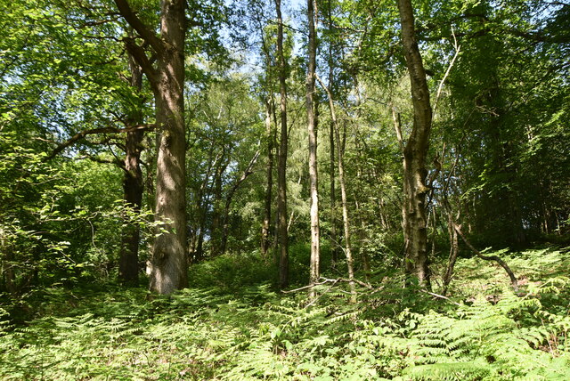
Nature enthusiasts will find plenty to explore in and around Hungry Bottom. The area is renowned for its scenic walking trails, allowing visitors to discover the stunning landscapes and diverse wildlife. The nearby Sussex Valley is also home to several nature reserves, offering opportunities for birdwatching, picnicking, and peaceful relaxation.
Hungry Bottom, Sussex (Valley) is a hidden gem, offering a tranquil and picturesque retreat for those seeking a slower pace of life amidst the beauty of the English countryside.
If you have any feedback on the listing, please let us know in the comments section below.
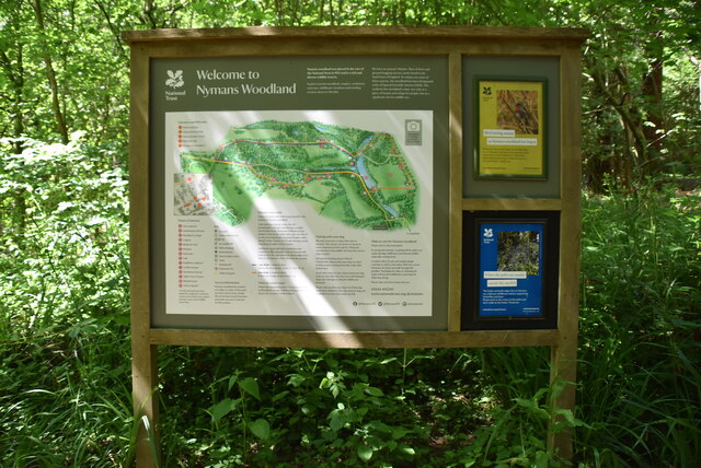
Hungry Bottom Images
Images are sourced within 2km of 51.056167/-0.20470228 or Grid Reference TQ2530. Thanks to Geograph Open Source API. All images are credited.

Hungry Bottom is located at Grid Ref: TQ2530 (Lat: 51.056167, Lng: -0.20470228)
Administrative County: West Sussex
District: Mid Sussex
Police Authority: Sussex
What 3 Words
///upwardly.hides.perfect. Near Handcross, West Sussex
Nearby Locations
Related Wikis

Handcross Hill bus crash
On 12 July 1906, a bus crashed into a tree on Handcross Hill in Sussex, England, killing 10 people and injuring a further 26 in the worst road crash in...

Handcross
Handcross is a village in the Mid Sussex District of West Sussex, England. It lies on the A23 road 4.2 miles (6.8 kilometres) south of Crawley. At the...

Handcross Park School
Handcross Park School is an independent co-educational preparatory school in Handcross, between Crawley, Horsham and Haywards Heath in West Sussex, England...

Nymans
Nymans is an English garden to the east of the village of Handcross, and in the civil parish of Slaugham in West Sussex, England. The garden was developed...

Cow Wood and Harry's Wood
Cow Wood and Harry's Wood is a 75.5-hectare (187-acre) biological Site of Special Scientific Interest east of Handcross in West Sussex. it is in the High...

Slaugham
Slaugham () is a village and civil parish in the Mid Sussex District of West Sussex, England. It is located 7 miles (11 km) to the south of Crawley, on...

St Mary's Church, Slaugham
St Mary's Church is an Anglican church in the village of Slaugham in Mid Sussex, one of seven local government districts in the English county of West...
Cedars (immigration detention)
Cedars was an immigration detention facility in Crawley, West Sussex, United Kingdom adjacent to Gatwick Airport. It was operated by UK Visas and Immigration...
Nearby Amenities
Located within 500m of 51.056167,-0.20470228Have you been to Hungry Bottom?
Leave your review of Hungry Bottom below (or comments, questions and feedback).