Benfield Valley
Valley in Sussex
England
Benfield Valley
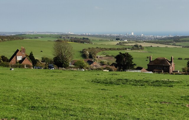
Benfield Valley is a picturesque area located in Sussex, England. Nestled between the South Downs National Park and the English Channel, this valley offers breathtaking natural beauty and a diverse range of wildlife.
Covering an area of approximately 400 hectares, Benfield Valley is renowned for its rich biodiversity and is designated as a Local Wildlife Site. The valley is home to various habitats, including wetlands, grasslands, woodlands, and reed beds. These habitats attract a wide array of bird species, making it a popular destination for birdwatchers. Visitors may spot birds such as kingfishers, herons, and warblers.
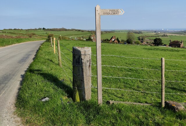
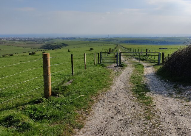
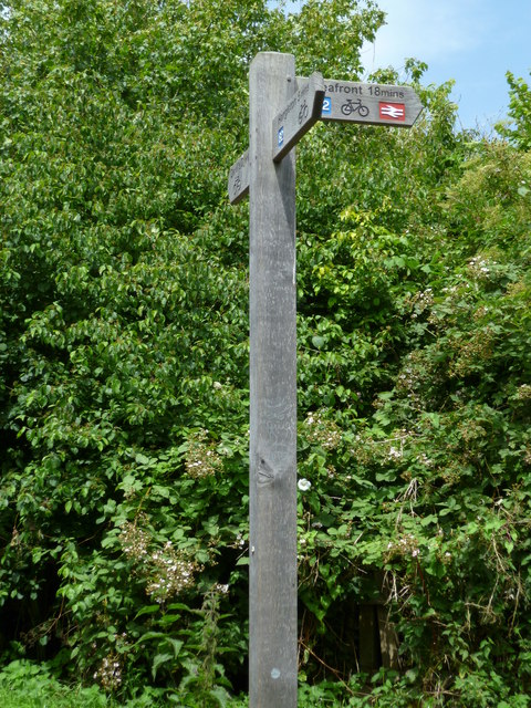
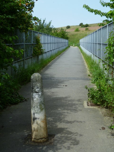
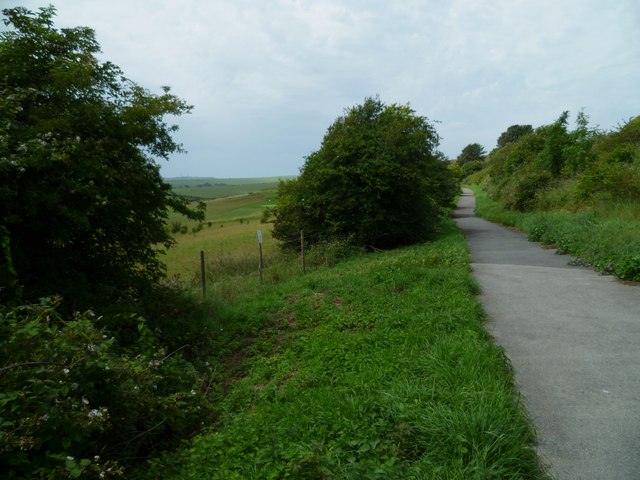
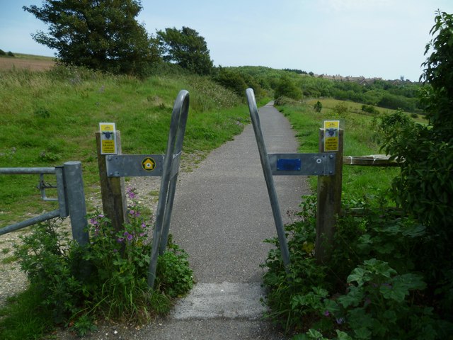
The valley is crisscrossed by several footpaths, enabling visitors to explore its stunning surroundings. The South Downs Way, a long-distance trail, passes through Benfield Valley, offering hikers and nature enthusiasts the opportunity to immerse themselves in the landscape and enjoy panoramic views of the surrounding countryside.
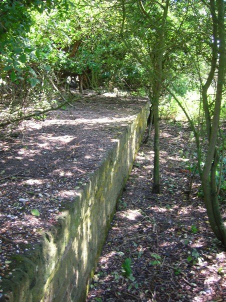
In addition to its natural beauty, Benfield Valley also has historical significance. The valley was once a site for farming and milling activities, with remnants of watermills still visible today. These historical features add a touch of charm and intrigue to the area.
Overall, Benfield Valley is a tranquil and enchanting destination that showcases the beauty of the Sussex countryside. Whether it's for birdwatching, hiking, or simply enjoying the peace and tranquility of nature, this valley offers a delightful experience for visitors of all ages.
If you have any feedback on the listing, please let us know in the comments section below.
Benfield Valley Images
Images are sourced within 2km of 50.864497/-0.20893404 or Grid Reference TQ2608. Thanks to Geograph Open Source API. All images are credited.
Benfield Valley is located at Grid Ref: TQ2608 (Lat: 50.864497, Lng: -0.20893404)
Unitary Authority: Brighton and Hove
Police Authority: Sussex
What 3 Words
///test.deeper.mixer. Near Portslade, East Sussex
Nearby Locations
Related Wikis
Golf Club Halt railway station (England)
Golf Club Halt railway station, was a railway station in Hove, in East Sussex, England which opened in 1891 and closed in 1939. The station served the...
Benfield Hill
Benfield Hill is an 11.8-hectare (29-acre) Local Nature Reserve (LNR) on the northern outskirts of Hove in East Sussex and is within the boundaries of...
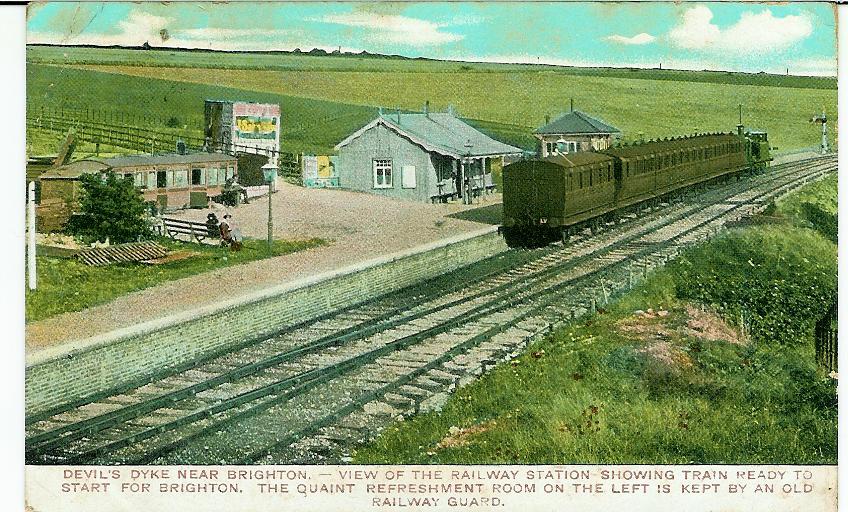
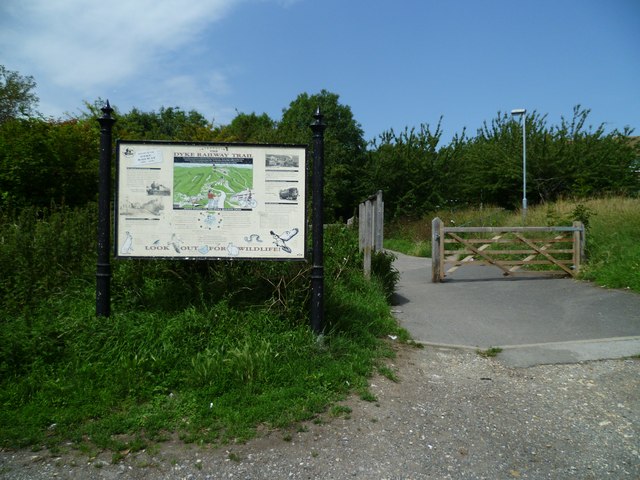
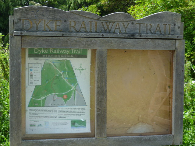
The Dyke railway station
The Dyke railway station was a railway station near Devil's Dyke in West Sussex, England which opened in 1887 and closed in 1939. == History == The Dyke...
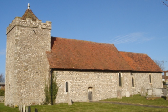
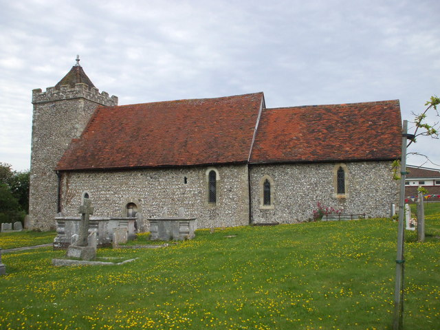
St Helen's Church, Hangleton
St Helen's Church, an Anglican church in the Hangleton area of Hove, is the oldest surviving building in the English city of Brighton and Hove. It is the...

Foredown Tower
Foredown Tower is a former water tower in Portslade, in the city of Brighton and Hove, England, that now contains one of only two operational camera obscuras...

Hangleton
Hangleton is a suburb of Brighton and Hove, in the ceremonial county of East Sussex, England. The area was developed in the 1930s after it was incorporated...

Mile Oak F.C.
Mile Oak Football Club are a football club based in Mile Oak ,Brighton and Hove, England. They were established in 1960 and joined the Sussex County League...

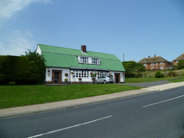
Hangleton Manor Inn
Hangleton Manor Inn, the adjoining Old Manor House and associated buildings form a bar and restaurant complex in Hangleton, an ancient village (and latterly...
Nearby Amenities
Located within 500m of 50.864497,-0.20893404Have you been to Benfield Valley?
Leave your review of Benfield Valley below (or comments, questions and feedback).