Deadman's Bottom

Valley in Middlesex Hertsmere

England

Deadman's Bottom

Closed shop on High Street, Potters Bar
Closed shop on High Street, Potters Bar Credit: David Howard

Deadman's Bottom is a small valley located in the county of Middlesex, England. Nestled within the picturesque countryside, this tranquil and idyllic location has gained a reputation for its natural beauty and historical significance.

Surrounded by rolling hills and verdant meadows, Deadman's Bottom is characterized by its lush greenery and serene atmosphere. The valley is crossed by a meandering river, which adds to its charm and provides a habitat for various species of wildlife.

The name "Deadman's Bottom" has a mysterious origin, with some speculating that it refers to an ancient burial ground or a tragic event that occurred in the area. However, no concrete evidence has been found to support these claims, leaving the name shrouded in folklore and intrigue.

Despite its secluded nature, Deadman's Bottom is easily accessible via a network of country lanes and footpaths. This makes it a popular destination for nature lovers, hikers, and photographers who appreciate its unspoiled beauty. The valley offers breathtaking panoramic views, especially during the spring when the surrounding fields burst into a riot of colors with blooming wildflowers.

Historically, Deadman's Bottom has played a role in the agricultural heritage of Middlesex, with evidence of farming activities dating back centuries. Today, the valley remains a haven for wildlife, supporting a diverse range of flora and fauna.

In conclusion, Deadman's Bottom is a hidden gem in Middlesex, offering visitors a chance to escape the bustle of city life and immerse themselves in the beauty of nature.

If you have any feedback on the listing, please let us know in the comments section below.

Deadman's Bottom Images

Images are sourced within 2km of 51.675158/-0.18546514 or Grid Reference TQ2598. Thanks to Geograph Open Source API. All images are credited.

Closed shop on High Street, Potters Bar
About to join the M25 from the A111
Potty's car park on Barnet Road, Potters Bar Potty's is on the corner of the road and is a pancake house.
Potty's car park on Barnet Road, Potters Bar
Potty's is on the corner of the road and is a pancake house.
M25 near to Potters Bar Officially named the London Orbital and frequently derided as nothing more than a very big car park, the M25 is a 117-mile orbital motorway that encircles London; one of the world's biggest ring roads (Europe's second longest orbital road after the Berliner Ring, which is 122 miles). It is not, however, a continuous loop of motorway as the Dartford Crossing section (comprising the Dartford Tunnels and the Queen Elizabeth II Bridge) over the Thames and its approach roads are designated as the A282. 

Constructed between 1975 and 1986, the M25 is reputedly the most expensive motorway Britain ever built, costing a total of £909m or roughly £7.5m per mile, but at the time of its planning, the demand for the road was considerably underestimated so that when it was finally completed in 1986, it was already out of date. Demand outstripped capacity within a few years and ever since then it's been very heavily congested. 

The M25 is one of the UK’s busiest motorways, carrying up to 200,000 vehicles and 10,000 HGVs per day (AADT - Annual Average Daily Traffic flow) on the section near to Heathrow Airport. Since its opening in the 1980s, the southern, western and eastern sections have been widened to largely dual four lane (D4M) standard, but much of the motorway retains its dual three lane road (D3M) cross-section as originally built. 

The M25 was home to England's first Variable Speed Limits on motorways between the A3 and M4 in the early 1990s.

<span class="nowrap"><a title="http://www.cbrd.co.uk/motorway/m25/" rel="nofollow ugc noopener" href="http://www.cbrd.co.uk/motorway/m25/">Link</a><img style="margin-left:2px;" alt="External link" title="External link - shift click to open in new window" src="https://s1.geograph.org.uk/img/external.png" width="10" height="10"/></span>  cbrd
<span class="nowrap"><a title="http://www.sabre-roads.org.uk/wiki/index.php?title=M25" rel="nofollow ugc noopener" href="http://www.sabre-roads.org.uk/wiki/index.php?title=M25">Link</a><img style="margin-left:2px;" alt="External link" title="External link - shift click to open in new window" src="https://s1.geograph.org.uk/img/external.png" width="10" height="10"/></span>  SABRE
M25 near to Potters Bar
Officially named the London Orbital and frequently derided as nothing more than a very big car park, the M25 is a 117-mile orbital motorway that encircles London; one of the world's biggest ring roads (Europe's second longest orbital road after the Berliner Ring, which is 122 miles). It is not, however, a continuous loop of motorway as the Dartford Crossing section (comprising the Dartford Tunnels and the Queen Elizabeth II Bridge) over the Thames and its approach roads are designated as the A282. Constructed between 1975 and 1986, the M25 is reputedly the most expensive motorway Britain ever built, costing a total of £909m or roughly £7.5m per mile, but at the time of its planning, the demand for the road was considerably underestimated so that when it was finally completed in 1986, it was already out of date. Demand outstripped capacity within a few years and ever since then it's been very heavily congested. The M25 is one of the UK’s busiest motorways, carrying up to 200,000 vehicles and 10,000 HGVs per day (AADT - Annual Average Daily Traffic flow) on the section near to Heathrow Airport. Since its opening in the 1980s, the southern, western and eastern sections have been widened to largely dual four lane (D4M) standard, but much of the motorway retains its dual three lane road (D3M) cross-section as originally built. The M25 was home to England's first Variable Speed Limits on motorways between the A3 and M4 in the early 1990s. LinkExternal link cbrd LinkExternal link SABRE
M25 at Junction 24 (Potters Bar) Officially named the London Orbital and frequently derided as nothing more than a very big car park, the M25 is a 117-mile orbital motorway that encircles London; one of the world's biggest ring roads (Europe's second longest orbital road after the Berliner Ring, which is 122 miles). It is not, however, a continuous loop of motorway as the Dartford Crossing section (comprising the Dartford Tunnels and the Queen Elizabeth II Bridge) over the Thames and its approach roads are designated as the A282. 

Constructed between 1975 and 1986, the M25 is reputedly the most expensive motorway Britain ever built, costing a total of £909m or roughly £7.5m per mile, but at the time of its planning, the demand for the road was considerably underestimated so that when it was finally completed in 1986, it was already out of date. Demand outstripped capacity within a few years and ever since then it's been very heavily congested. 

The M25 is one of the UK’s busiest motorways, carrying up to 200,000 vehicles and 10,000 HGVs per day (AADT - Annual Average Daily Traffic flow) on the section near to Heathrow Airport. Since its opening in the 1980s, the southern, western and eastern sections have been widened to largely dual four lane (D4M) standard, but much of the motorway retains its dual three lane road (D3M) cross-section as originally built. 

The M25 was home to England's first Variable Speed Limits on motorways between the A3 and M4 in the early 1990s.

<span class="nowrap"><a title="http://www.cbrd.co.uk/motorway/m25/" rel="nofollow ugc noopener" href="http://www.cbrd.co.uk/motorway/m25/">Link</a><img style="margin-left:2px;" alt="External link" title="External link - shift click to open in new window" src="https://s1.geograph.org.uk/img/external.png" width="10" height="10"/></span>  cbrd
<span class="nowrap"><a title="http://www.sabre-roads.org.uk/wiki/index.php?title=M25" rel="nofollow ugc noopener" href="http://www.sabre-roads.org.uk/wiki/index.php?title=M25">Link</a><img style="margin-left:2px;" alt="External link" title="External link - shift click to open in new window" src="https://s1.geograph.org.uk/img/external.png" width="10" height="10"/></span>  SABRE
M25 at Junction 24 (Potters Bar)
Officially named the London Orbital and frequently derided as nothing more than a very big car park, the M25 is a 117-mile orbital motorway that encircles London; one of the world's biggest ring roads (Europe's second longest orbital road after the Berliner Ring, which is 122 miles). It is not, however, a continuous loop of motorway as the Dartford Crossing section (comprising the Dartford Tunnels and the Queen Elizabeth II Bridge) over the Thames and its approach roads are designated as the A282. Constructed between 1975 and 1986, the M25 is reputedly the most expensive motorway Britain ever built, costing a total of £909m or roughly £7.5m per mile, but at the time of its planning, the demand for the road was considerably underestimated so that when it was finally completed in 1986, it was already out of date. Demand outstripped capacity within a few years and ever since then it's been very heavily congested. The M25 is one of the UK’s busiest motorways, carrying up to 200,000 vehicles and 10,000 HGVs per day (AADT - Annual Average Daily Traffic flow) on the section near to Heathrow Airport. Since its opening in the 1980s, the southern, western and eastern sections have been widened to largely dual four lane (D4M) standard, but much of the motorway retains its dual three lane road (D3M) cross-section as originally built. The M25 was home to England's first Variable Speed Limits on motorways between the A3 and M4 in the early 1990s. LinkExternal link cbrd LinkExternal link SABRE
Potters Bar Garage This was previously Dynastart
Potters Bar Garage
This was previously Dynastart
Petrol station on Barnet Road, Potters Bar It appears the price numbers flash faster than the camera exposure, so at any point in time only some are illuminated.
Petrol station on Barnet Road, Potters Bar
It appears the price numbers flash faster than the camera exposure, so at any point in time only some are illuminated.
Converted shop on Barnet Road, Potters Bar
Office block on Mutton Lane, Potters Bar This is currently occupied by Canada Life
Office block on Mutton Lane, Potters Bar
This is currently occupied by Canada Life
M25 slip road at junction 24 Leading up to a roundabout on the A111, giving access to Potters Bar and Hadley Wood.
M25 slip road at junction 24
Leading up to a roundabout on the A111, giving access to Potters Bar and Hadley Wood.
The Ridgeway (A1005) Heading west towards Junction 24,  M25 Motorway.
The Ridgeway (A1005)
Heading west towards Junction 24, M25 Motorway.
M25 Motorway, Junction 24,   Looking south west from the bridge on the A111.
M25 Motorway, Junction 24,
Looking south west from the bridge on the A111.
Bus stop and shelter on Southgate Road (A111) Looking north west.
Bus stop and shelter on Southgate Road (A111)
Looking north west.
Shops on Barnet Road, Potters Bar
Barnet Road, Potters Bar Looking south on the A1000.
Barnet Road, Potters Bar
Looking south on the A1000.
Shops on Barnet Road, Potters Bar
Maple House, Potters Bar Office block off the B556.
Maple House, Potters Bar
Office block off the B556.
Elizabeth II postbox on Mutton Lane. Potters Bar Postbox No. EN6 115.

See <a href="https://www.geograph.org.uk/photo/5209094">TL2500 : Mutton Lane. Potters Bar</a> for context.
Elizabeth II postbox on Mutton Lane. Potters Bar
Postbox No. EN6 115. See TL2500 : Mutton Lane. Potters Bar for context.
Show me another place!

Deadman's Bottom is located at Grid Ref: TQ2598 (Lat: 51.675158, Lng: -0.18546514)

Administrative County: Hertfordshire

District: Hertsmere

Police Authority: Hertfordshire

What 3 Words

///stuck.proof.bonus. Near Hadley Wood, London

Nearby Locations

Deadman's Bottom

Related Wikis

Ganwick House

Ganwick House is a late-18th-century house in Wagon Road, Ganwick Corner (Gannic Corner), near Chipping Barnet, England. As of 2018, it was in use as a...
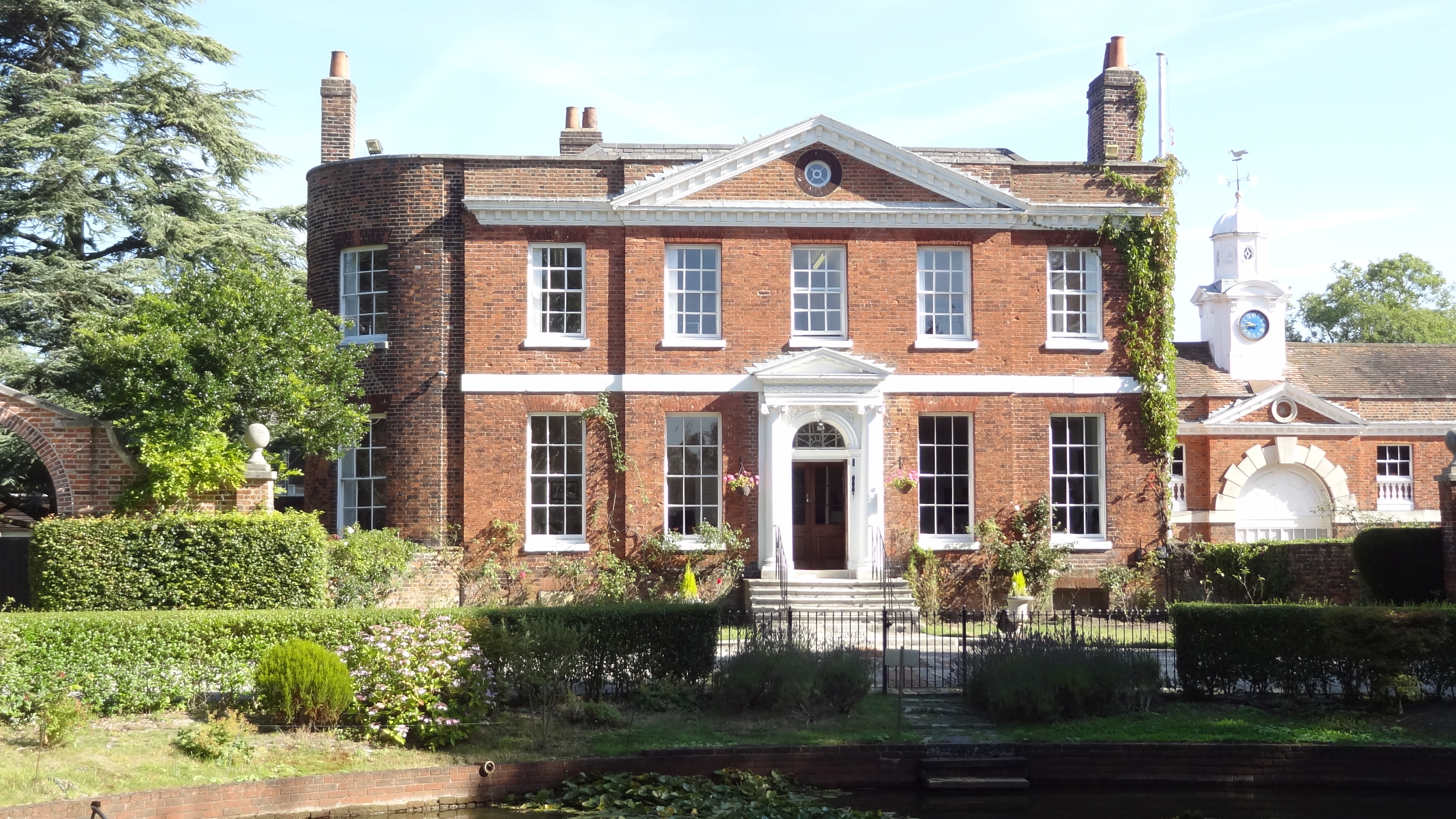
Wrotham Park

Wrotham Park (pronounced , ROO-təm) is a neo-Palladian English country house in the parish of South Mimms, Hertfordshire. It lies south of the town of...

Bentley Heath, Hertfordshire

Bentley Heath is a hamlet in Hertfordshire, England, between Chipping Barnet and Potters Bar. It is on the north edge of the Wrotham Park estate with which...

Hadley Wood railway station

Hadley Wood railway station is in the London Borough of Enfield in north London, England. It is 10 miles 46 chains (17.0 km) down the line from London...

Mount House School

Mount House School is a private day school for pupils from 11 to 18. The school is co-educational and is situated in Monken Hadley, in the London Borough...

Potters Bar Urban District

Potters Bar Urban District was a local government district in England from 1894 to 1974, covering the town of Potters Bar and the village of South Mimms...

St Paul's Church, Hadley Wood

St Paul's Church is a Church of England proprietary chapel in Hadley Wood, London. == History == Albert Kingwell, agent for Charles Jack, arranged for...

Mount House, Monken Hadley

Mount House, Camlet Way, Monken Hadley, in the London Borough of Barnet, is a grade II* listed house. The attached stable block is also listed. == History... ==

Nearby Amenities

Located within 500m of 51.675158,-0.18546514
Bus Stop
Oakgate Cottages
Naptan AtcoCode: 210021000390
Naptan Bearing: N
Naptan CommonName: Oakgate Cottages
Naptan Indicator: opp
Naptan Landmark: Unknown
Naptan NaptanCode: hrtgpwdw
Naptan PlusbusZoneRef: POTRSBR
Naptan ShortCommonName: NA
Naptan Street: Barnet Road
Naptan Verified: no
Public Transport: platform
Source: naptan_import
Lat/Long: 51.6759718/-0.1906263
Bus Stop
Wagon Road
Naptan AtcoCode: 210021000400
Naptan Bearing: N
Naptan CommonName: Wagon Road
Naptan Indicator: nr
Naptan Landmark: Unknown
Naptan NaptanCode: hrtgpwga
Naptan PlusbusZoneRef: POTRSBR
Naptan ShortCommonName: NA
Naptan Street: Barnet Road
Naptan Verified: no
Public Transport: platform
Source: naptan_import
Lat/Long: 51.6788505/-0.1879634
Bus Stop
Wagon Road
Naptan AtcoCode: 210021001660
Naptan Bearing: S
Naptan CommonName: Wagon Road
Naptan Indicator: adj
Naptan Landmark: Unknown
Naptan NaptanCode: hrtgpmgt
Naptan PlusbusZoneRef: POTRSBR
Naptan ShortCommonName: NA
Naptan Street: Barnet Road
Naptan Verified: no
Public Transport: platform
Source: naptan_import
Lat/Long: 51.6792523/-0.1873239
Bus Stop
Oakgate Cottages
Naptan AtcoCode: 210021001670
Naptan Bearing: S
Naptan CommonName: Oakgate Cottages
Naptan Indicator: adj
Naptan Landmark: Unknown
Naptan NaptanCode: hrtgpmgw
Naptan PlusbusZoneRef: POTRSBR
Naptan ShortCommonName: NA
Naptan Street: Barnet Road
Naptan Verified: no
Public Transport: platform
Source: naptan_import
Lat/Long: 51.6773954/-0.1891276
Crossing
Bicycle: yes
Crossing: unmarked
Crossing Island: yes
Crossing Markings: no
Tactile Paving: no
Lat/Long: 51.679224/-0.1874943
Give Way
Direction: backward
Lat/Long: 51.6794928/-0.1871129
The data included in this document is from www.openstreetmap.org. The data is made available under ODbL.

Have you been to Deadman's Bottom?

Leave your review of Deadman's Bottom below (or comments, questions and feedback).