Black Fan Valley

Valley in Hertfordshire Welwyn Hatfield

England

Black Fan Valley

St Peter's, Tewin The south face of the church. The churchyard includes a tomb that has been split by a large tree growing out from it.
St Peter's, Tewin Credit: Alan Simkins

Black Fan Valley is a picturesque and historic valley located in Hertfordshire, England. Nestled between the towns of Hemel Hempstead and Berkhamsted, the valley is renowned for its natural beauty and tranquil surroundings.

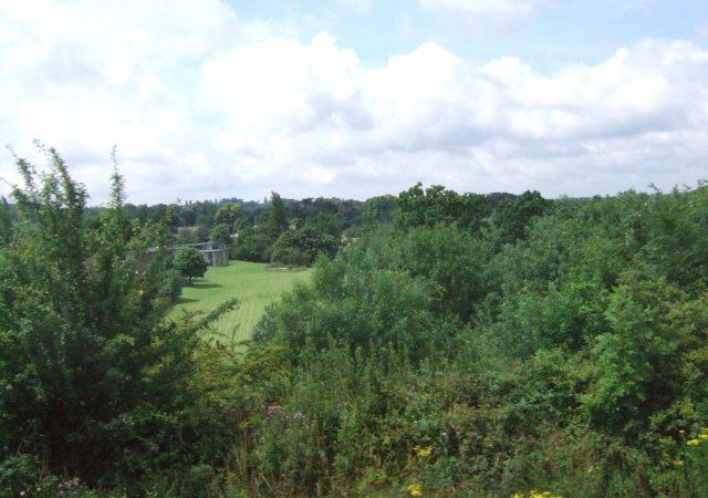
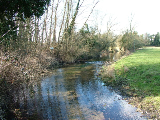
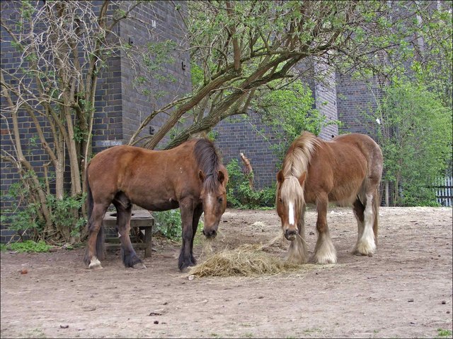
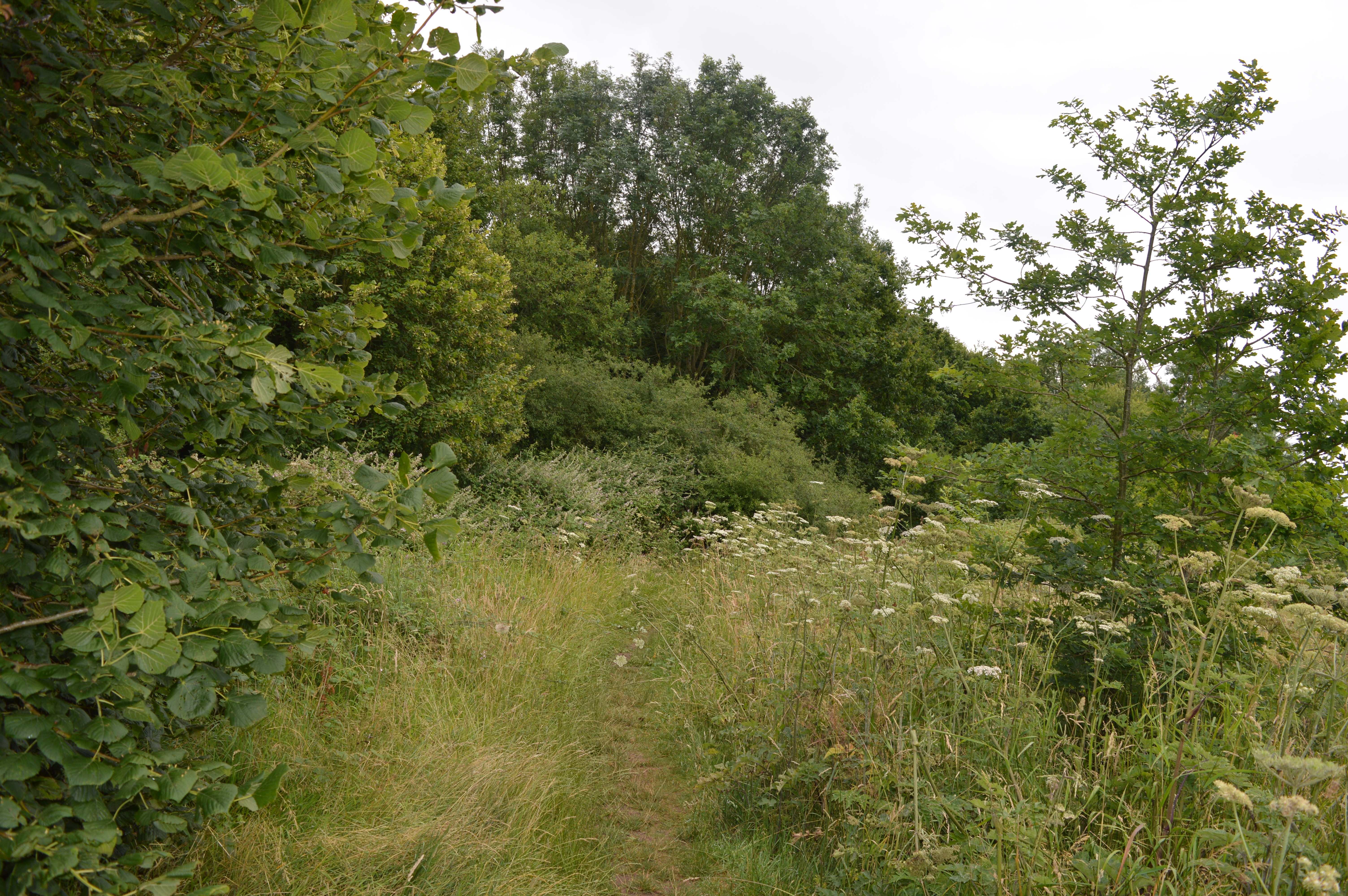
The valley is characterized by its rolling hills, dense woodlands, and a meandering river that flows through its heart. These natural features make it a popular destination for nature enthusiasts, hikers, and birdwatchers. The valley is home to a diverse range of flora and fauna, including deer, foxes, and a variety of bird species.

The history of Black Fan Valley dates back centuries, with evidence of human activity dating back to the Iron Age. The valley has been inhabited by various civilizations throughout history, including the Romans and Saxons. Today, remnants of these ancient civilizations can still be found, such as archaeological sites and old settlements.

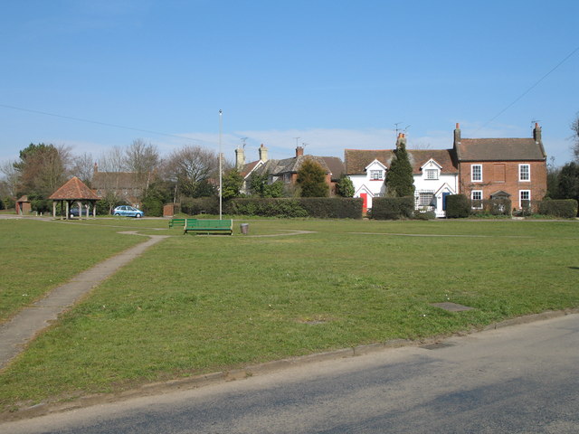
The valley is also known for its charming villages and hamlets, which dot the landscape. These settlements offer a glimpse into the rural and traditional way of life in Hertfordshire, with their thatched-roof cottages and quaint village greens.

Visitors to Black Fan Valley can explore its many footpaths and trails, which provide stunning views of the surrounding countryside. The valley is also a popular spot for picnics, as there are several designated areas with benches and picnic tables.

Overall, Black Fan Valley is a hidden gem in Hertfordshire, offering a perfect blend of natural beauty, history, and rural charm. It is a must-visit destination for those seeking a peaceful retreat in the English countryside.

If you have any feedback on the listing, please let us know in the comments section below.

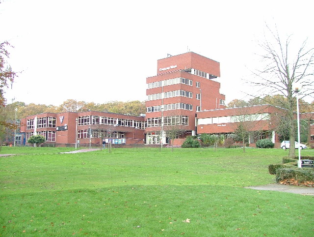
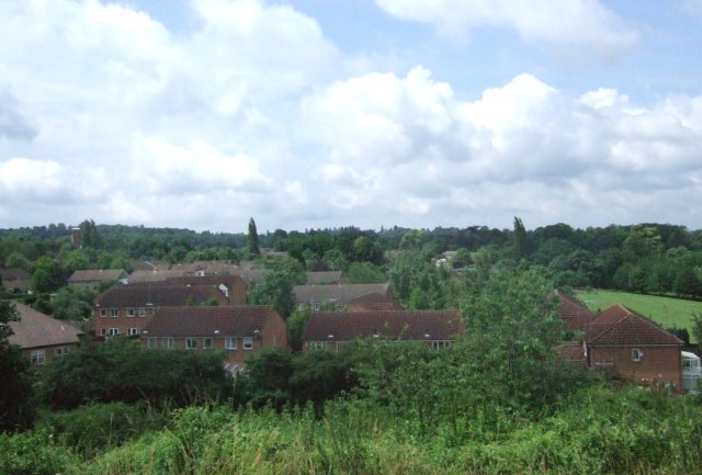
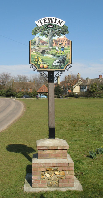
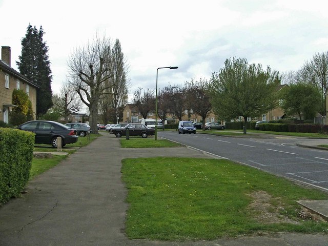
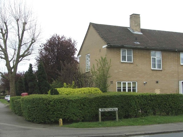
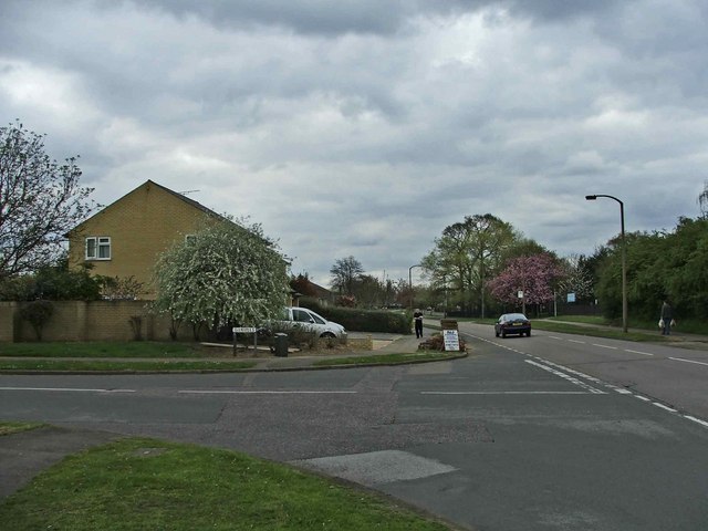
Black Fan Valley Images

Images are sourced within 2km of 51.809827/-0.18151217 or Grid Reference TL2513. Thanks to Geograph Open Source API. All images are credited.

St Peter's, Tewin The south face of the church. The churchyard includes a tomb that has been split by a large tree growing out from it.
St Peter's, Tewin
The south face of the church. The churchyard includes a tomb that has been split by a large tree growing out from it.
Digswell Viaduct The viaduct has 40 brick arches and carries the East Coast Main Line over the River Mimram valley, just to the north of Welwyn Garden City.  The Road is Digswell Park Road and lies just within the southern boundary of TL2415.  Half of the viaduct visible in the picture is actually in TL2414.
Digswell Viaduct
The viaduct has 40 brick arches and carries the East Coast Main Line over the River Mimram valley, just to the north of Welwyn Garden City. The Road is Digswell Park Road and lies just within the southern boundary of TL2415. Half of the viaduct visible in the picture is actually in TL2414.
Welwyn Garden City View looking across the memorial garden to Louis de Soissons the designer of the town.
Welwyn Garden City
View looking across the memorial garden to Louis de Soissons the designer of the town.
Welwyn Garden City Shops offices and rooftop restaurant
Welwyn Garden City
Shops offices and rooftop restaurant
Campus West - Welwyn Garden City Arts centre, Library and Theatre at the top end of Parkway.
Campus West - Welwyn Garden City
Arts centre, Library and Theatre at the top end of Parkway.
Digswell Park from East Coast Main Line In Welwyn Garden City.
Digswell Park from East Coast Main Line
In Welwyn Garden City.
Harwood Hill JMI & Nursery School Not much of the school buildings can be seen here, but the playing fields are visible.  Taken from a passing train on the East Coast Main Line.
Harwood Hill JMI & Nursery School
Not much of the school buildings can be seen here, but the playing fields are visible. Taken from a passing train on the East Coast Main Line.
Mimram River  Near Tewin Taken from the bridge facing the small weir
Mimram River Near Tewin
Taken from the bridge facing the small weir
Tewin Village Green View north across the village green.
Tewin Village Green
View north across the village green.
Tewin Village Sign
Tewin Village Sign
Altar and Choir Stalls - St Peters
Panshanger Golf Club The Club House overlooking the Course
Panshanger Golf Club
The Club House overlooking the Course
Heronswood Road, Welwyn Garden City, Hertfordshire Heronswood Road looking north west
Heronswood Road, Welwyn Garden City, Hertfordshire
Heronswood Road looking north west
Whitethorn, Welwyn Garden City, Hertfordshire Corner of Whitethorn and Heronswood Road, Welwyn Garden City, Hertfordshire
Whitethorn, Welwyn Garden City, Hertfordshire
Corner of Whitethorn and Heronswood Road, Welwyn Garden City, Hertfordshire
Junction of Daniells and Herns Lane, Welwyn Garden City, Hertfordshire Junction of Daniells and Herns Lane not far from Panshanger Golf Course
Junction of Daniells and Herns Lane, Welwyn Garden City, Hertfordshire
Junction of Daniells and Herns Lane not far from Panshanger Golf Course
Ponies near Digswell Viaduct, near Welwyn Garden City, Hertfordshire
Doberman Club entrance, Hertford Road, Digswell
Digswell Viaduct, Hertfordshire
Show me another place!

Black Fan Valley is located at Grid Ref: TL2513 (Lat: 51.809827, Lng: -0.18151217)

Administrative County: Hertfordshire

District: Welwyn Hatfield

Police Authority: Hertfordshire

What 3 Words

///voter.soon.mats. Near Welwyn Garden City, Hertfordshire

Nearby Locations

Black Fan Valley

Related Wikis

Welwyn Garden City F.C.

Welwyn Garden City Football Club is a football club based in Welwyn Garden City, Hertfordshire. They currently play in the Southern League Division One...

Wheathampstead Local Nature Reserve

Wheathampstead Local Nature Reserve is a 5.9 hectare Local Nature Reserve (LNR) in Wheathampstead in Hertfordshire. It was declared an LNR by St Albans...

Weston Hills, Baldock

Weston Hills is a 17 hectare Local Nature Reserve in Baldock in North Hertfordshire. It is owned by Hertfordshire County Council and North Hertfordshire...
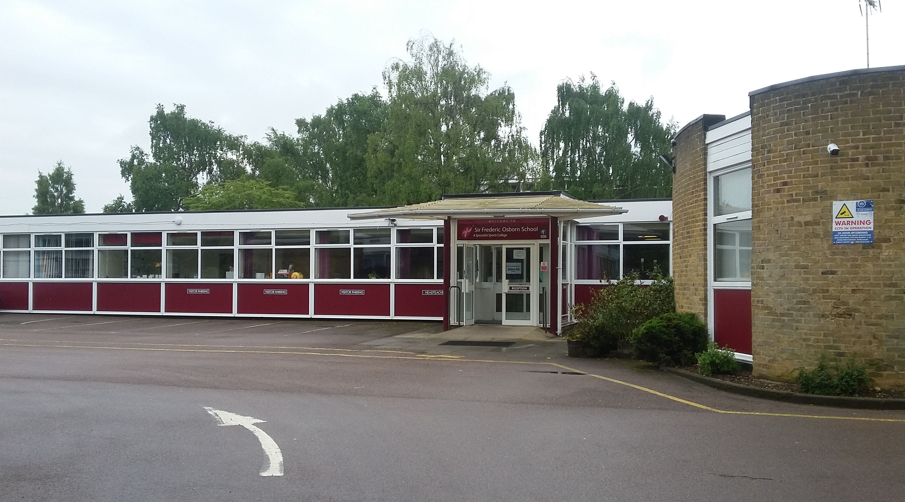
Ridgeway Academy

Ridgeway Academy, formerly Sir Frederic Osborn School ("Sir Freds"), which itself was formed by the merging in 1968 of Attimore Hall School (secondary...
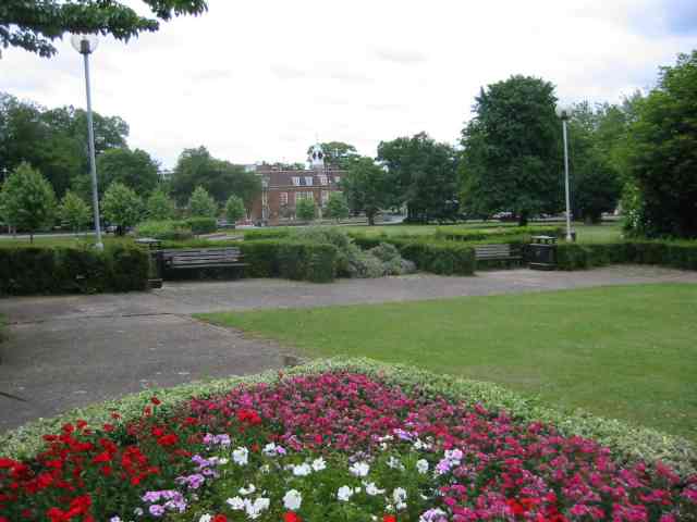
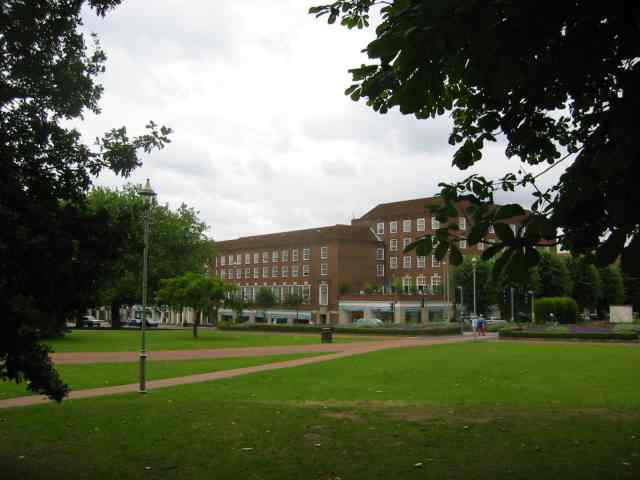
Welwyn Garden City

Welwyn Garden City ( WEL-in) is a town in Hertfordshire, England, 20 miles (32 km) north of London. It was the second garden city in England (founded 1920...

Tewinbury

Tewinbury is a 7.5-hectare (19-acre) biological Site of Special Scientific Interest near Tewin in Hertfordshire. The local planning authority is East Hertfordshire...

Digswell Arts Trust

Digswell Arts Trust was the brainchild of Henry Morris, a pioneering educationalist. Through his enthusiasm, dedication and influence he persuaded the...
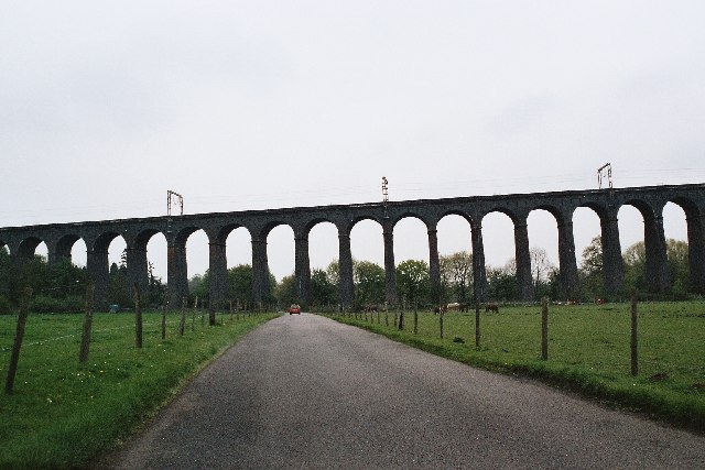
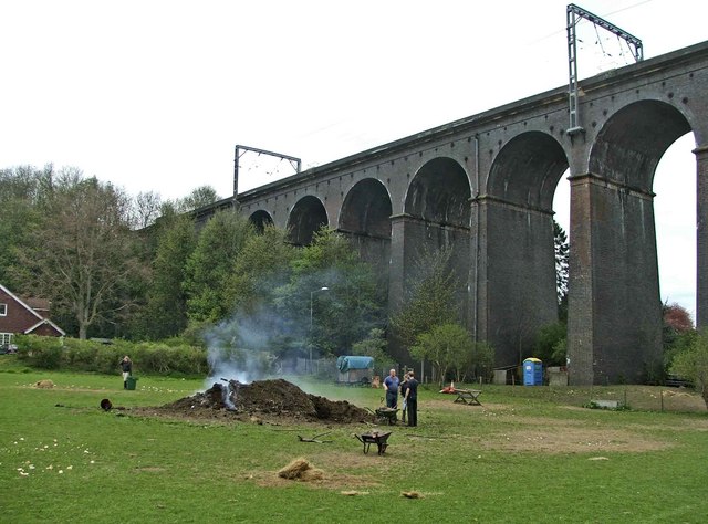
Digswell Viaduct

The Digswell Viaduct, also called Welwyn Viaduct, is a railway viaduct that carries the East Coast Main Line over the River Mimram in the county of Hertfordshire...

Nearby Amenities

Located within 500m of 51.809827,-0.18151217
Created By: osmeditor2
Lat/Long: 51.8085564/-0.1877708
Created By: osmeditor2
Lat/Long: 51.8086099/-0.1871992
Created By: osmeditor2
Lat/Long: 51.8089232/-0.1861934
Created By: osmeditor2
Lat/Long: 51.8089645/-0.1854073
Bus Stop
Robin Mead
Bench: yes
Bus: yes
Naptan AtcoCode: 210021600570
Naptan Bearing: NW
Naptan CommonName: Robin Mead
Naptan Crossing: opp Rowans School
Naptan Indicator: adj
Naptan Landmark: opp Rowans School
Naptan NaptanCode: hrtatatm
Naptan PlusbusZoneRef: WLWYNGC
Naptan ShortCommonName: NA
Naptan Street: Rowans
Naptan Verified: no
Public Transport: platform
Shelter: yes
Source: naptan_import
Lat/Long: 51.8132585/-0.1844165
Bus Stop
Waterside
Naptan AtcoCode: 210021600980
Naptan Bearing: NE
Naptan CommonName: Waterside
Naptan Indicator: nr
Naptan Landmark: Unknown
Naptan NaptanCode: hrtatagj
Naptan PlusbusZoneRef: WLWYNGC
Naptan ShortCommonName: NA
Naptan Street: Mundells
Naptan Verified: no
Public Transport: platform
Source: naptan_import
Lat/Long: 51.808902/-0.1864923
Bus Stop
Windhill
Naptan AtcoCode: 210021601250
Naptan Bearing: SE
Naptan CommonName: Windhill
Naptan Indicator: opp
Naptan Landmark: Unknown
Naptan NaptanCode: hrtatadw
Naptan PlusbusZoneRef: WLWYNGC
Naptan ShortCommonName: NA
Naptan Street: Herns Way
Naptan Verified: no
Public Transport: platform
Shelter: yes
Source: naptan_import
Lat/Long: 51.8060515/-0.1815416
Bus Stop
Windhill
Naptan AtcoCode: 210021606510
Naptan Bearing: NW
Naptan CommonName: Windhill
Naptan Indicator: adj
Naptan Landmark: Unknown
Naptan NaptanCode: hrtamtjw
Naptan PlusbusZoneRef: WLWYNGC
Naptan ShortCommonName: NA
Naptan Street: Herns Lane
Naptan Verified: no
Public Transport: platform
Source: naptan_import
Lat/Long: 51.8060638/-0.1819943
Post Box
Post Box Type: pillar
Ref: AL7 308
Royal Cypher: GR
Royal Cypher Wikidata: Q33102273
Lat/Long: 51.8112921/-0.1845971
Entrance: main
Lat/Long: 51.8124956/-0.1827874
Addr City: Welwyn Garden City
Addr Housenumber: 77
Addr Street: Rowans
Lat/Long: 51.8133734/-0.1840554
Addr City: Welwyn Garden City
Addr Housenumber: 83
Addr Street: Rowans
Lat/Long: 51.8136067/-0.1838481
Bus Stop
Bus: yes
Official Status: unofficial
Public Transport: platform
Lat/Long: 51.8114356/-0.1839363
Bus Stop
Haldens Lumbards
Bus: yes
Naptan AtcoCode: 210021600560
Naptan NaptanCode: hrtatatg
Public Transport: platform
Lat/Long: 51.810928/-0.1856265
Addr City: Welwyn Garden City
Addr Housenumber: 65
Addr Street: Rowans
Lat/Long: 51.8136527/-0.1849675
Addr City: Welwyn Garden City
Addr Housenumber: 75
Addr Street: Rowans
Lat/Long: 51.8134762/-0.184414
Addr Housenumber: 90
Addr Street: Rowans
Lat/Long: 51.8127512/-0.1835902
Addr Housenumber: 100
Addr Street: Rowans
Lat/Long: 51.8123934/-0.1833749
Addr Housenumber: 102
Addr Street: Rowans
Lat/Long: 51.8122892/-0.1834003
Addr Housenumber: 108
Addr Street: Rowans
Lat/Long: 51.8119831/-0.1834639
Addr Housenumber: 76
Addr Street: Rowans
Lat/Long: 51.8130806/-0.1849019
Addr Housenumber: 70
Addr Street: Rowans
Lat/Long: 51.8132963/-0.1847164
Addr Housenumber: 66
Addr Street: Rowans
Lat/Long: 51.8134144/-0.1852061
Barrier: stile
Bicycle: no
Foot: yes
Horse: no
Motor Vehicle: no
Lat/Long: 51.8111203/-0.1816377
Generator Method: photovoltaic
Generator Output Electricity: yes
Generator Source: solar
Generator Type: solar_photovoltaic_panel
Location: roof
Power: generator
Lat/Long: 51.8106006/-0.1827107
Generator Method: photovoltaic
Generator Output Electricity: yes
Generator Source: solar
Generator Type: solar_photovoltaic_panel
Location: roof
Power: generator
Lat/Long: 51.810502/-0.1829454
Generator Method: photovoltaic
Generator Output Electricity: yes
Generator Source: solar
Generator Type: solar_photovoltaic_panel
Location: roof
Power: generator
Lat/Long: 51.810584/-0.1837823
Generator Method: photovoltaic
Generator Output Electricity: yes
Generator Source: solar
Generator Type: solar_photovoltaic_panel
Location: roof
Power: generator
Lat/Long: 51.8138276/-0.1842731
Generator Method: photovoltaic
Generator Source: solar
Generator Type: solar_photovoltaic_panel
Location: roof
Power: generator
Lat/Long: 51.8094912/-0.1870184
Generator Method: photovoltaic
Generator Output Electricity: yes
Generator Source: solar
Generator Type: solar_photovoltaic_panel
Location: roof
Power: generator
Lat/Long: 51.8116039/-0.1858905
Generator Method: photovoltaic
Generator Output Electricity: yes
Generator Source: solar
Generator Type: solar_photovoltaic_panel
Location: roof
Power: generator
Lat/Long: 51.8110119/-0.1861963
The data included in this document is from www.openstreetmap.org. The data is made available under ODbL.

Have you been to Black Fan Valley?

Leave your review of Black Fan Valley below (or comments, questions and feedback).