Adder Bottom
Valley in Sussex Mid Sussex
England
Adder Bottom
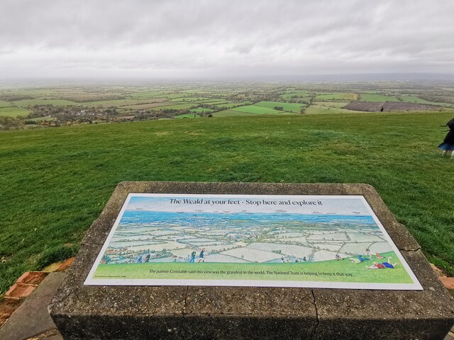
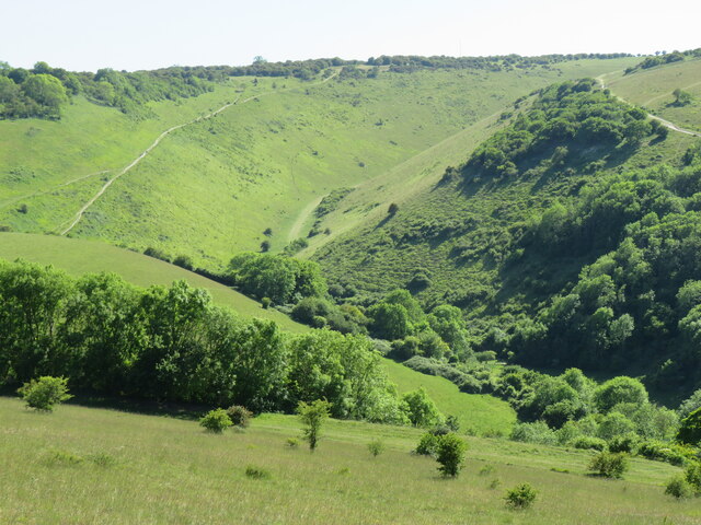
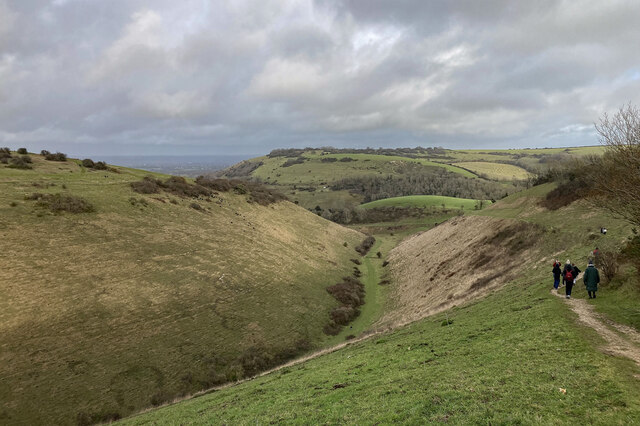
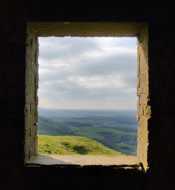
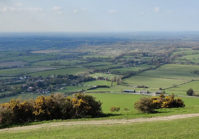
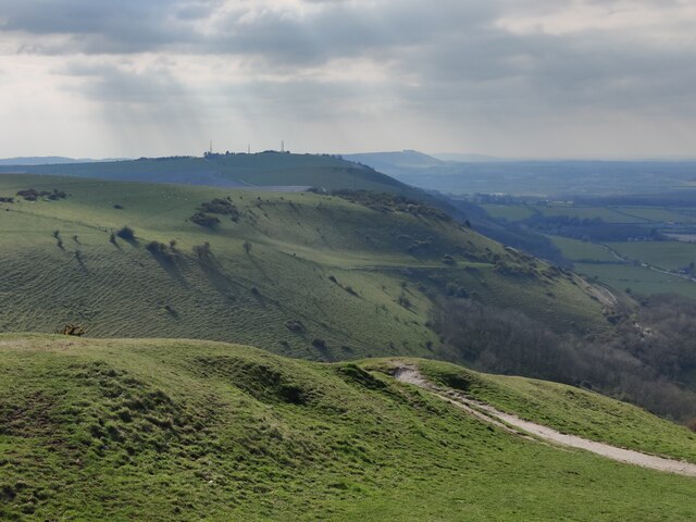
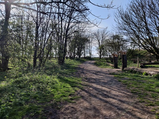
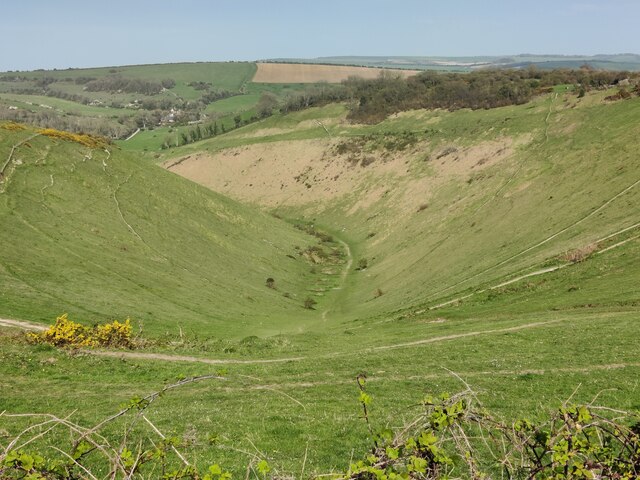
Adder Bottom is a picturesque valley located in the county of Sussex, England. Nestled in the South Downs National Park, it is renowned for its natural beauty and tranquil surroundings. The valley is characterized by rolling hills, verdant meadows, and a meandering river that flows through its heart.
The name "Adder Bottom" is derived from the presence of adders, a type of venomous snake, which historically inhabited the area. However, due to conservation efforts, the population of adders has significantly decreased in recent years, making sightings rare.
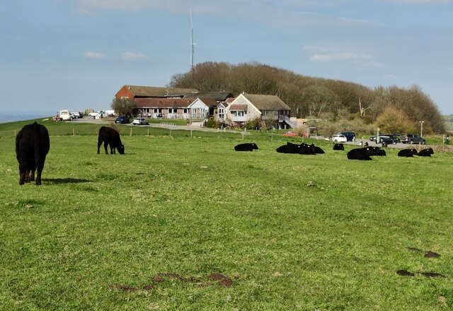
The valley is home to a diverse range of flora and fauna. Wildflowers such as bluebells and primroses carpet the meadows in spring, attracting a variety of butterflies and bees. The river and its banks provide a habitat for numerous species, including otters, kingfishers, and herons.
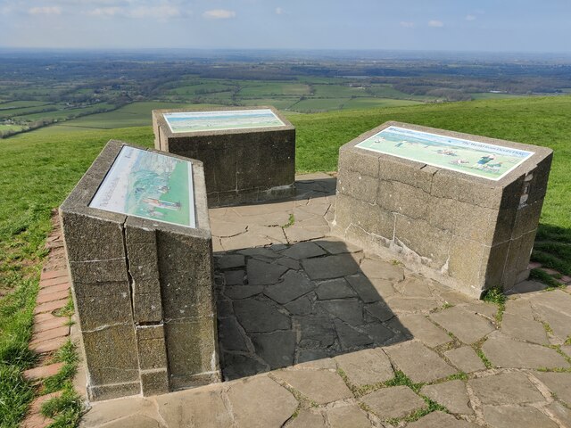
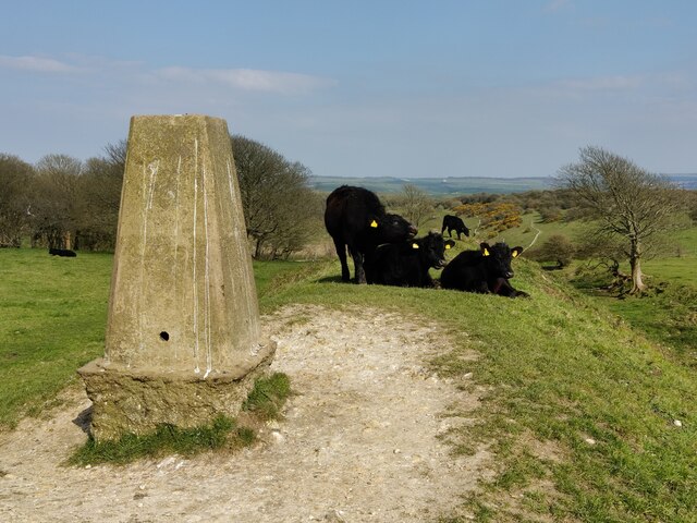
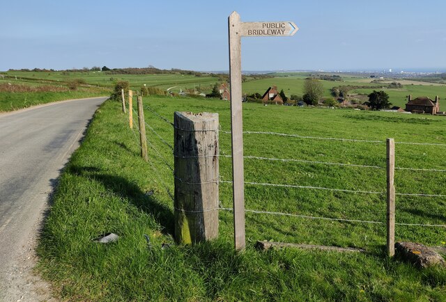
Hikers and nature enthusiasts are drawn to Adder Bottom for its extensive network of walking trails. The area offers breathtaking views from the hilltops, making it a popular destination for photographers and artists. Additionally, the valley is a haven for birdwatchers, as it attracts a wide variety of bird species throughout the year.
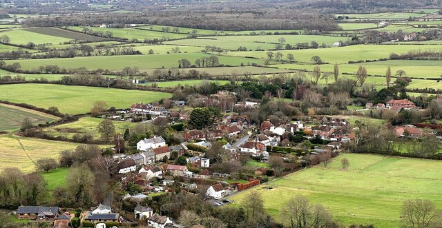
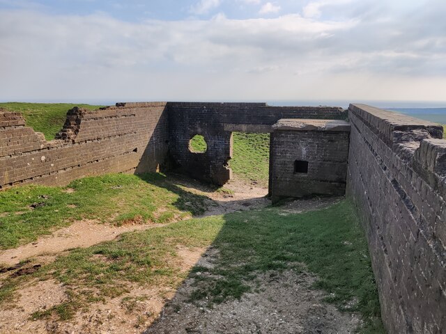
Despite its natural beauty, Adder Bottom remains relatively untouched by human development. There are no towns or villages within the valley itself, creating an unspoiled and peaceful environment. Visitors can experience a sense of tranquility as they explore the valley and immerse themselves in its enchanting atmosphere.
If you have any feedback on the listing, please let us know in the comments section below.
Adder Bottom Images
Images are sourced within 2km of 50.875945/-0.21828887 or Grid Reference TQ2510. Thanks to Geograph Open Source API. All images are credited.


Adder Bottom is located at Grid Ref: TQ2510 (Lat: 50.875945, Lng: -0.21828887)
Administrative County: West Sussex
District: Mid Sussex
Police Authority: Sussex
What 3 Words
///tables.blackmail.memory. Near Portslade, East Sussex
Nearby Locations
Related Wikis
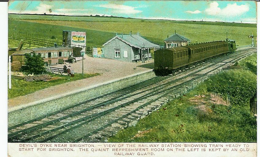
The Dyke railway station
The Dyke railway station was a railway station near Devil's Dyke in West Sussex, England which opened in 1887 and closed in 1939. == History == The Dyke...

Beeding Hill to Newtimber Hill
Beeding Hill to Newtimber Hill is a 321 ha (790-acre) biological and geological Downland Site of Special Scientific Interest (SSSI) north of Shoreham-by...
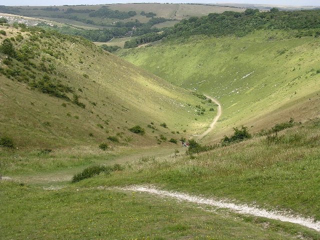
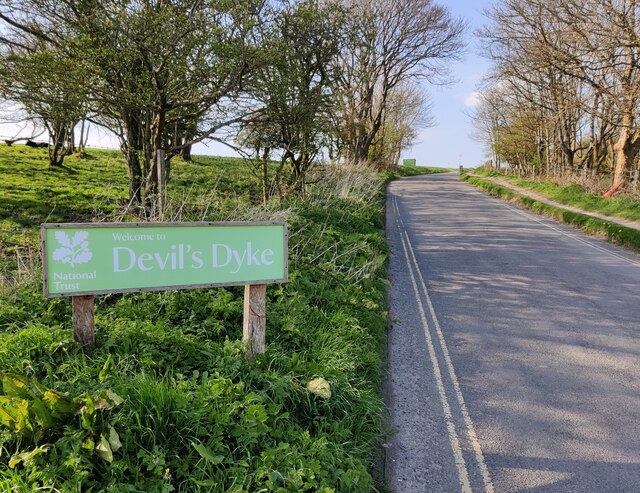
Devil's Dyke, Sussex
Devil's Dyke is a 100 metre (300') deep V-shaped dry valley on the South Downs in Sussex in southern England, 5 miles (8.0 km) north-west of Brighton....
Golf Club Halt railway station (England)
Golf Club Halt railway station, was a railway station in Hove, in East Sussex, England which opened in 1891 and closed in 1939. The station served the...

Fulking
Fulking is a village and civil parish in the Mid Sussex District of West Sussex, England. The parish lies wholly with the South Downs National Park. The...

Edburton Castle Ring
Edburton Castle Ring (or Castle Rings) is an archaeological site in West Sussex, England, on the peak of Edburton Hill on the South Downs, near the villages...

Saddlescombe Preceptory
Saddlescombe Preceptory was a priory in West Sussex, England. == References == == Further reading == L. F. Salzmann (1907). "Religious Houses: The Preceptory...

Poynings
Poynings ( or locally ) is a village and civil parish in the Mid Sussex District of West Sussex, England. The parish lies wholly with the South Downs...
Nearby Amenities
Located within 500m of 50.875945,-0.21828887Have you been to Adder Bottom?
Leave your review of Adder Bottom below (or comments, questions and feedback).