Devil's Dyke
Hill, Mountain in Sussex Mid Sussex
England
Devil's Dyke

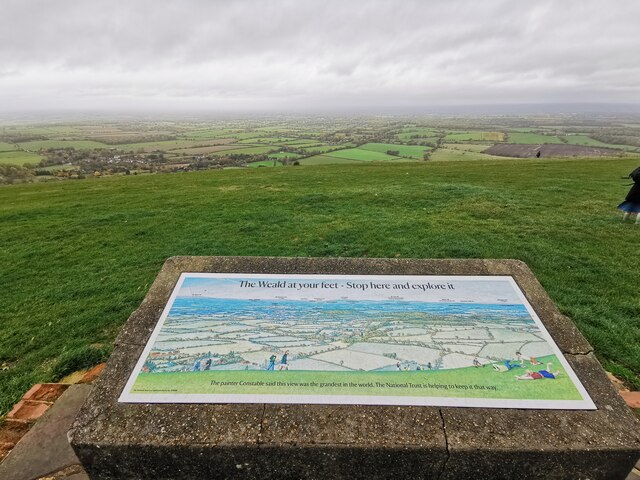
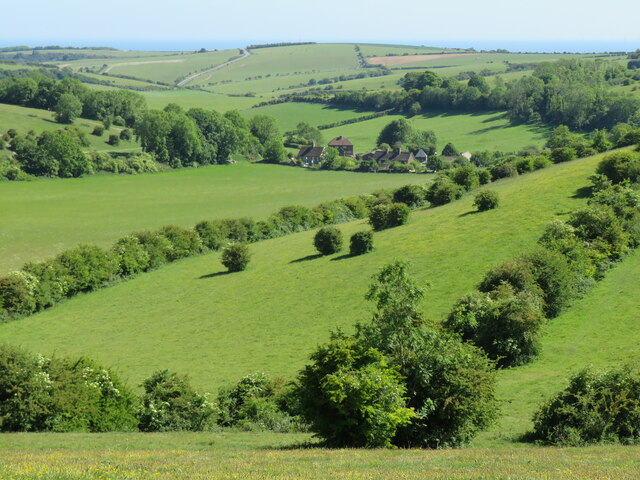
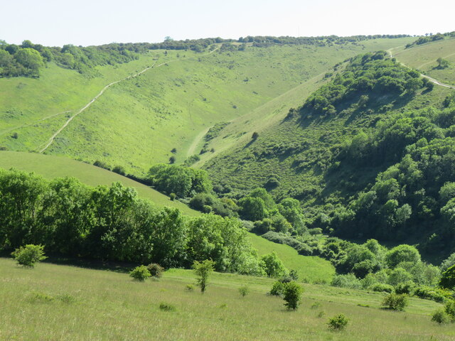
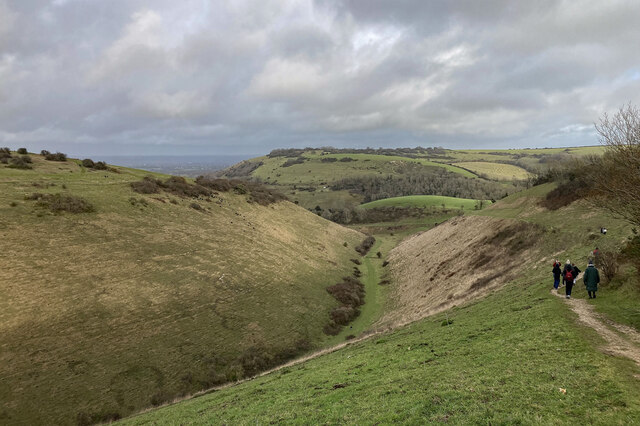
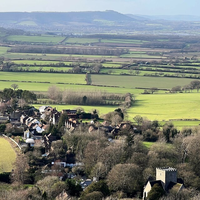
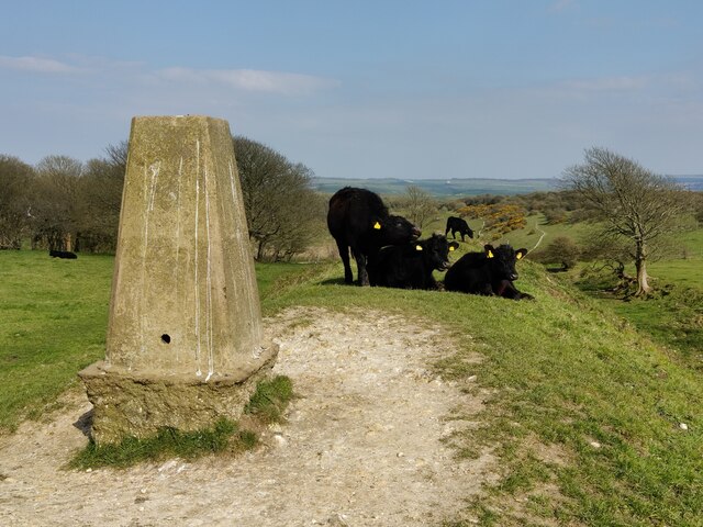
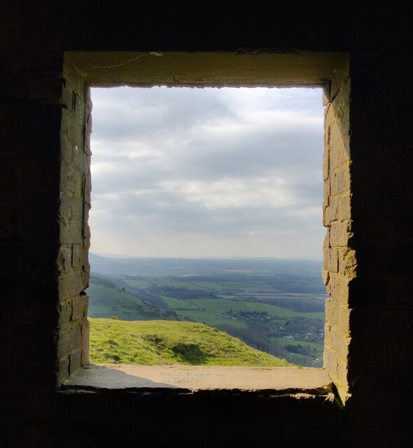
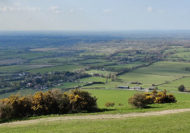
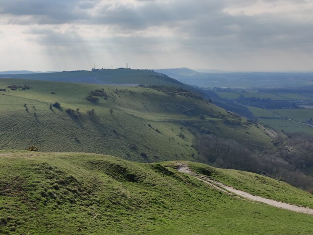
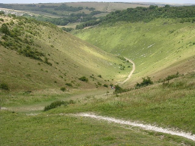
Devil's Dyke is a prominent geological feature located in the South Downs National Park near Brighton, Sussex, England. Often referred to as a hill or a valley, it is actually a V-shaped dry valley that stretches for about 3 miles across the landscape. With its deepest point reaching 328 feet, it offers breathtaking views of the surrounding countryside and the English Channel.
Formed by glacial activity during the last ice age, Devil's Dyke is characterized by steep chalk cliffs on either side of the valley. The name "Devil's Dyke" is believed to have originated from the legend that the devil dug the valley to allow the sea to flood the Weald, an area of land he despised. However, the geological explanation is far less mythical.
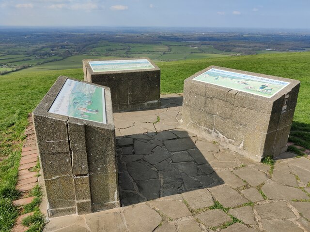
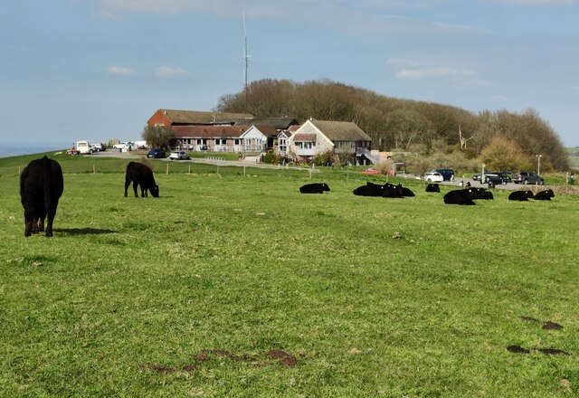
Today, Devil's Dyke is a popular destination for outdoor enthusiasts and nature lovers. The area offers various walking and hiking trails, allowing visitors to explore the stunning natural beauty of the South Downs. It is also a renowned spot for paragliding, attracting thrill-seekers who take advantage of the strong winds and the wide open spaces.
The site is home to a diverse range of flora and fauna, including rare species such as the Adonis blue butterfly and the chalkhill blue butterfly. The surrounding grasslands are dotted with wildflowers, creating a vibrant and colorful landscape during the summer months.
Devil's Dyke also holds historical significance, with archaeological evidence suggesting human habitation in the area dating back thousands of years. The valley has been a site of interest for both researchers and visitors, providing valuable insights into the region's past.
Overall, Devil's Dyke in Sussex offers a blend of natural beauty, recreational opportunities, and historical intrigue, making it a must-visit destination for locals and tourists alike.
If you have any feedback on the listing, please let us know in the comments section below.
Devil's Dyke Images
Images are sourced within 2km of 50.883388/-0.21393903 or Grid Reference TQ2510. Thanks to Geograph Open Source API. All images are credited.

Devil's Dyke is located at Grid Ref: TQ2510 (Lat: 50.883388, Lng: -0.21393903)
Administrative County: West Sussex
District: Mid Sussex
Police Authority: Sussex
What 3 Words
///typified.infringe.vouch. Near Portslade, East Sussex
Nearby Locations
Related Wikis
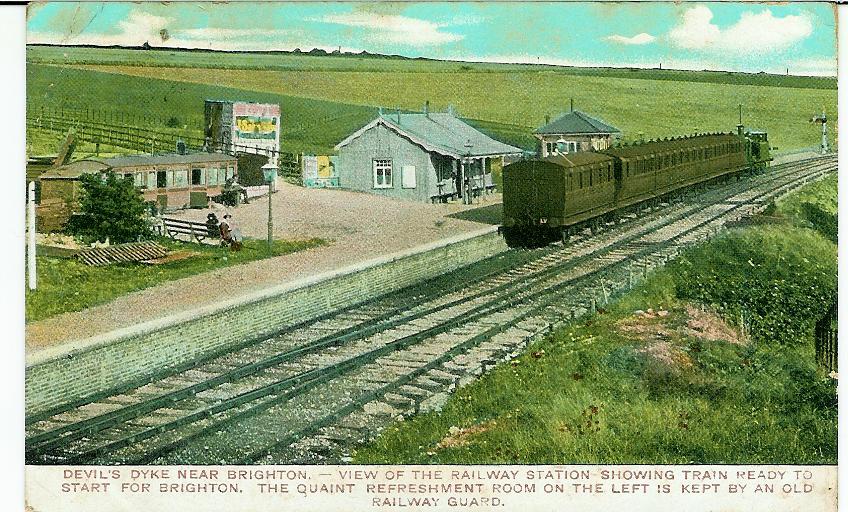
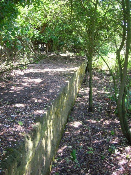
The Dyke railway station
The Dyke railway station was a railway station near Devil's Dyke in West Sussex, England which opened in 1887 and closed in 1939. == History == The Dyke...
Devil's Dyke, Sussex
Devil's Dyke is a 100 metre (300') deep V-shaped dry valley on the South Downs in Sussex in southern England, 5 miles (8.0 km) north-west of Brighton....

Beeding Hill to Newtimber Hill
Beeding Hill to Newtimber Hill is a 321 ha (790-acre) biological and geological Downland Site of Special Scientific Interest (SSSI) north of Shoreham-by...

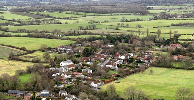
Fulking
Fulking is a village and civil parish in the Mid Sussex District of West Sussex, England. The parish lies wholly with the South Downs National Park. The...

Poynings
Poynings ( or locally ) is a village and civil parish in the Mid Sussex District of West Sussex, England. The parish lies wholly with the South Downs...

Saddlescombe Preceptory
Saddlescombe Preceptory was a priory in West Sussex, England. == References == == Further reading == L. F. Salzmann (1907). "Religious Houses: The Preceptory...
Golf Club Halt railway station (England)
Golf Club Halt railway station, was a railway station in Hove, in East Sussex, England which opened in 1891 and closed in 1939. The station served the...

Edburton Castle Ring
Edburton Castle Ring (or Castle Rings) is an archaeological site in West Sussex, England, on the peak of Edburton Hill on the South Downs, near the villages...
Nearby Amenities
Located within 500m of 50.883388,-0.21393903Have you been to Devil's Dyke?
Leave your review of Devil's Dyke below (or comments, questions and feedback).