Fulking Hill
Hill, Mountain in Sussex Mid Sussex
England
Fulking Hill

Fulking Hill is a prominent hill located in the South Downs National Park in Sussex, England. It is situated approximately 8 miles north of the coastal city of Brighton and Hove. With an elevation of 207 meters (679 feet), it is not considered a mountain but rather a hill.
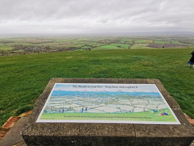
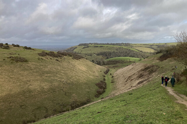
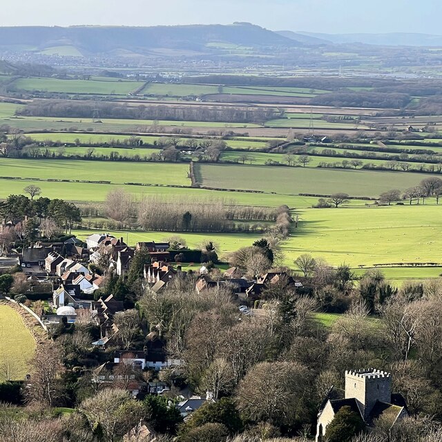
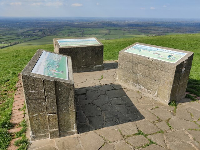
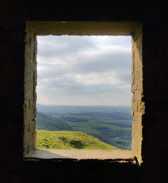
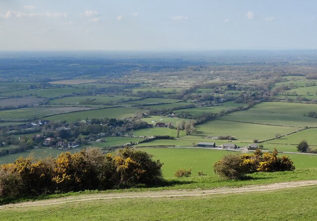
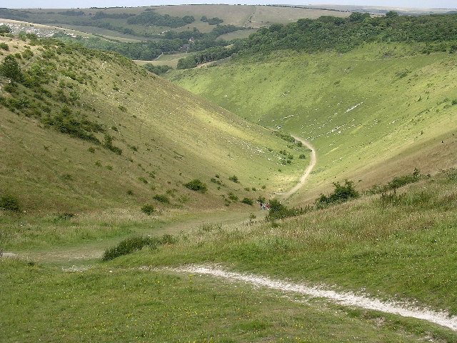
The hill is known for its picturesque views and is a popular destination for hikers, walkers, and nature enthusiasts. Visitors can enjoy panoramic vistas of the surrounding countryside, including the expansive South Downs landscape, the English Channel, and the rolling hills of Sussex.
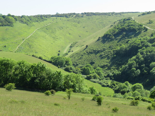
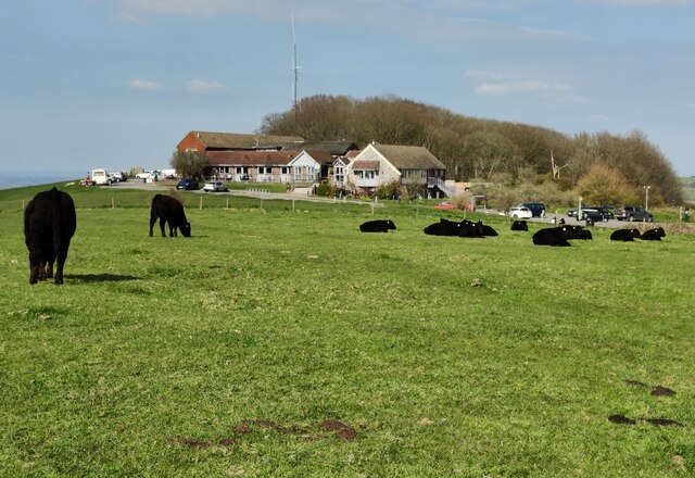
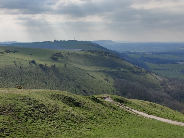
Fulking Hill is characterized by its gentle slopes and grassy terrain, which make it relatively easy to navigate. The hill is covered in a patchwork of fields, hedgerows, and woodlands, providing a diverse habitat for a variety of wildlife. It is not uncommon to spot birds of prey, such as buzzards and kestrels, soaring above the hill.
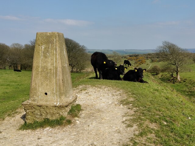
At the summit of Fulking Hill, there is a trig point, which is a concrete pillar used in surveying. This point serves as a marker and offers a reference for determining distances and directions in the surrounding area.
The hill is well-connected to a network of footpaths and trails, making it easily accessible to visitors. It is a popular starting point for longer hikes, including the South Downs Way, a long-distance footpath that spans 100 miles from Winchester to Eastbourne.
Overall, Fulking Hill provides a tranquil escape into nature and offers breathtaking views of the Sussex countryside, making it a must-visit destination in the area.
If you have any feedback on the listing, please let us know in the comments section below.
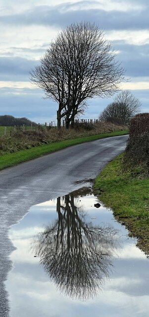
Fulking Hill Images
Images are sourced within 2km of 50.882524/-0.22214644 or Grid Reference TQ2510. Thanks to Geograph Open Source API. All images are credited.


Fulking Hill is located at Grid Ref: TQ2510 (Lat: 50.882524, Lng: -0.22214644)
Administrative County: West Sussex
District: Mid Sussex
Police Authority: Sussex
What 3 Words
///forget.briefing.seashell. Near Portslade, East Sussex
Nearby Locations
Related Wikis

Beeding Hill to Newtimber Hill
Beeding Hill to Newtimber Hill is a 321 ha (790-acre) biological and geological Downland Site of Special Scientific Interest (SSSI) north of Shoreham-by...

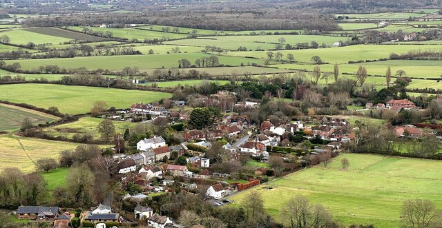
Fulking
Fulking is a village and civil parish in the Mid Sussex District of West Sussex, England. The parish lies wholly with the South Downs National Park. The...
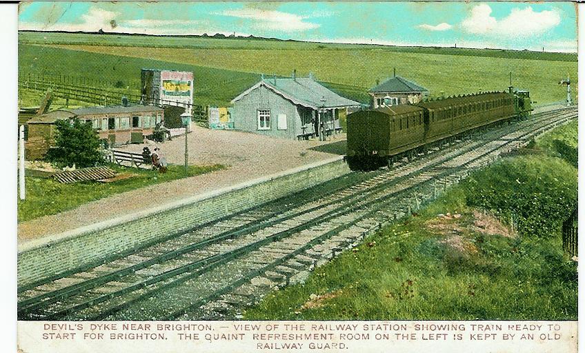
The Dyke railway station
The Dyke railway station was a railway station near Devil's Dyke in West Sussex, England which opened in 1887 and closed in 1939. == History == The Dyke...
Devil's Dyke, Sussex
Devil's Dyke is a 100 metre (300') deep V-shaped dry valley on the South Downs in Sussex in southern England, 5 miles (8.0 km) north-west of Brighton....
Nearby Amenities
Located within 500m of 50.882524,-0.22214644Have you been to Fulking Hill?
Leave your review of Fulking Hill below (or comments, questions and feedback).