Dellsome Bottom
Valley in Hertfordshire Welwyn Hatfield
England
Dellsome Bottom

Dellsome Bottom is a picturesque valley located in the county of Hertfordshire, England. Nestled amidst the rolling countryside, this serene and idyllic location offers visitors a delightful escape from the hustle and bustle of urban life. The valley is situated near the village of Dellsome, which is renowned for its charming cottages and quaint atmosphere.
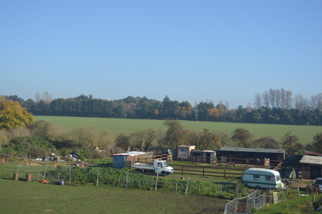
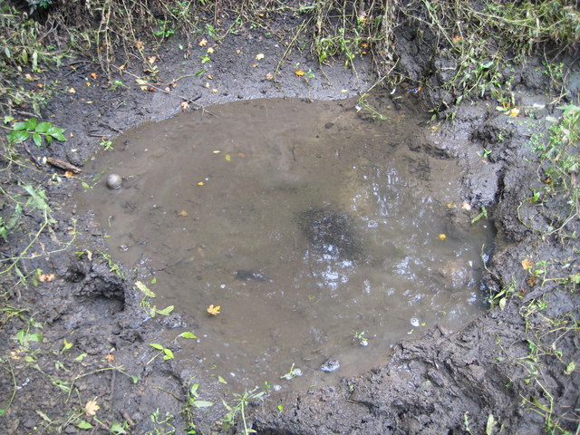
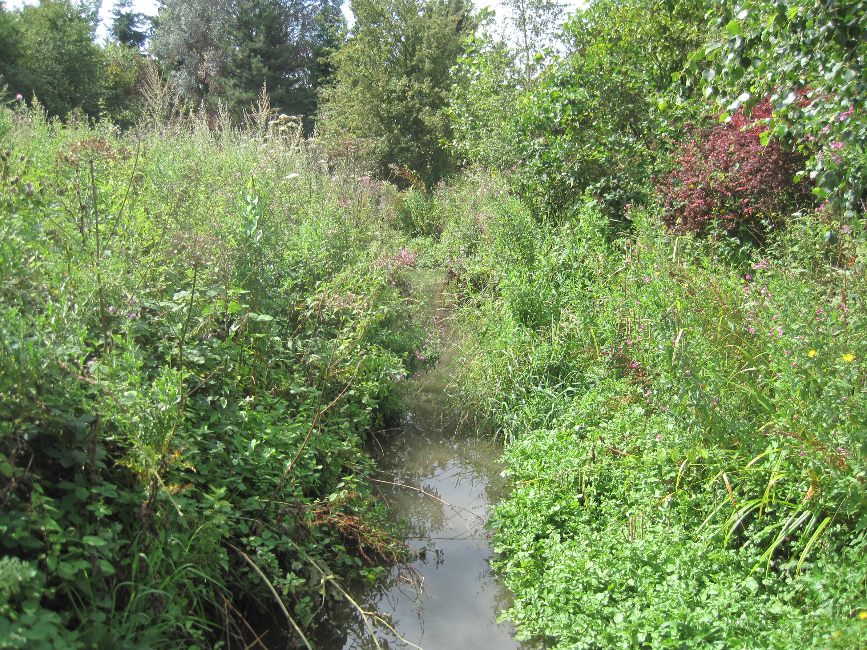
The landscape of Dellsome Bottom is characterized by lush green meadows, meandering streams, and gentle slopes. It is a haven for nature enthusiasts, as the valley is home to a wide variety of flora and fauna. Visitors can spot an array of wildflowers, including bluebells and primroses, in the springtime. Additionally, the valley provides a habitat for numerous bird species, making it a paradise for birdwatchers.
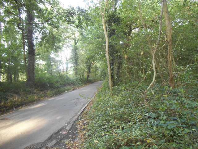
The tranquility of Dellsome Bottom is further enhanced by the absence of major roads or industrial developments in the immediate vicinity. As a result, the valley remains relatively untouched and unspoiled, retaining its natural beauty and charm. This makes it a popular destination for those seeking a peaceful retreat or a leisurely stroll through the countryside.
For those interested in history, Dellsome Bottom also boasts a wealth of archaeological significance. The valley is known to have been inhabited as far back as the Bronze Age, with numerous artifacts and burial sites being discovered over the years. These findings provide valuable insights into the ancient civilizations that once thrived in the area.
Overall, Dellsome Bottom, Hertfordshire, is a captivating valley that offers visitors a picturesque setting, rich biodiversity, and a glimpse into the region's history. Whether exploring its natural wonders or simply enjoying the tranquility, this hidden gem is sure to leave a lasting impression on all who visit.
If you have any feedback on the listing, please let us know in the comments section below.
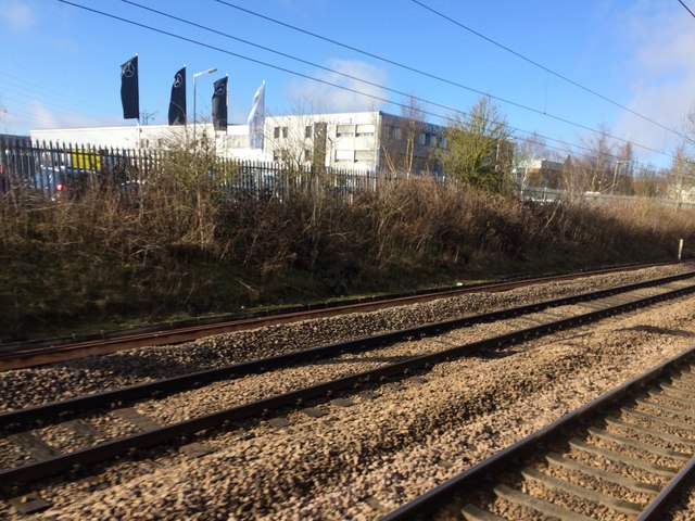
Dellsome Bottom Images
Images are sourced within 2km of 51.735379/-0.22909391 or Grid Reference TL2205. Thanks to Geograph Open Source API. All images are credited.


Dellsome Bottom is located at Grid Ref: TL2205 (Lat: 51.735379, Lng: -0.22909391)
Administrative County: Hertfordshire
District: Welwyn Hatfield
Police Authority: Hertfordshire
What 3 Words
///thin.fund.remove. Near Hatfield, Hertfordshire
Nearby Locations
Related Wikis

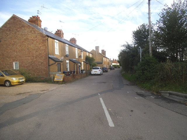
Welham Green
Welham Green is a village in the parish of North Mymms, Hertfordshire, England. It is situated a mile to the west of the Great North Road coaching route...

Hope and Anchor, Welham Green
The Hope and Anchor was a grade II listed public house Welham Green, Hertfordshire. It is based on a 17th-century timber frame with later additions....

North Mymms
North Mymms is a civil parish in the English county of Hertfordshire. At the 2011 Census the civil parish had a population of 8,921.The village itself...
1870 Hatfield rail crash
On a frosty Boxing day in 1870 the driver of the 16:25 from London King's Cross to Peterborough noticed an 'uneasy oscillation' as he passed over Marshmoor...

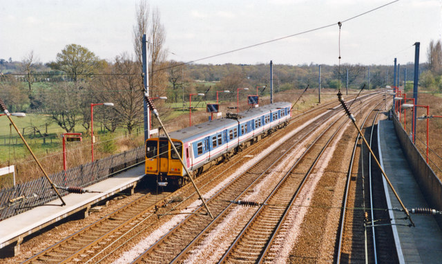
Welham Green railway station
Welham Green railway station serves the village of Welham Green in Hertfordshire, England. It is 15 miles 50 chains (25.1 km) measured from King's Cross...
Water End Swallow Holes
Water End Swallow Holes is a biological site of Special Scientific Interest in Hertfordshire, south-east England. Located in Welham Green and under the...
Mimmshall Brook
Mimmshall Brook is a 9.8 kilometres (6.1 mi) long stream (brook) in Greater London and Hertfordshire, England. Rising from two sources—one in Hertsmere...

Oxleys Wood
Oxleys Wood is a 1.2 hectare Local Nature Reserve in Hatfield in Hertfordshire. The declaring authority is Welwyn Hatfield Borough Council. The wood floods...
Nearby Amenities
Located within 500m of 51.735379,-0.22909391Have you been to Dellsome Bottom?
Leave your review of Dellsome Bottom below (or comments, questions and feedback).