Bush Wood
Wood, Forest in Hertfordshire Welwyn Hatfield
England
Bush Wood

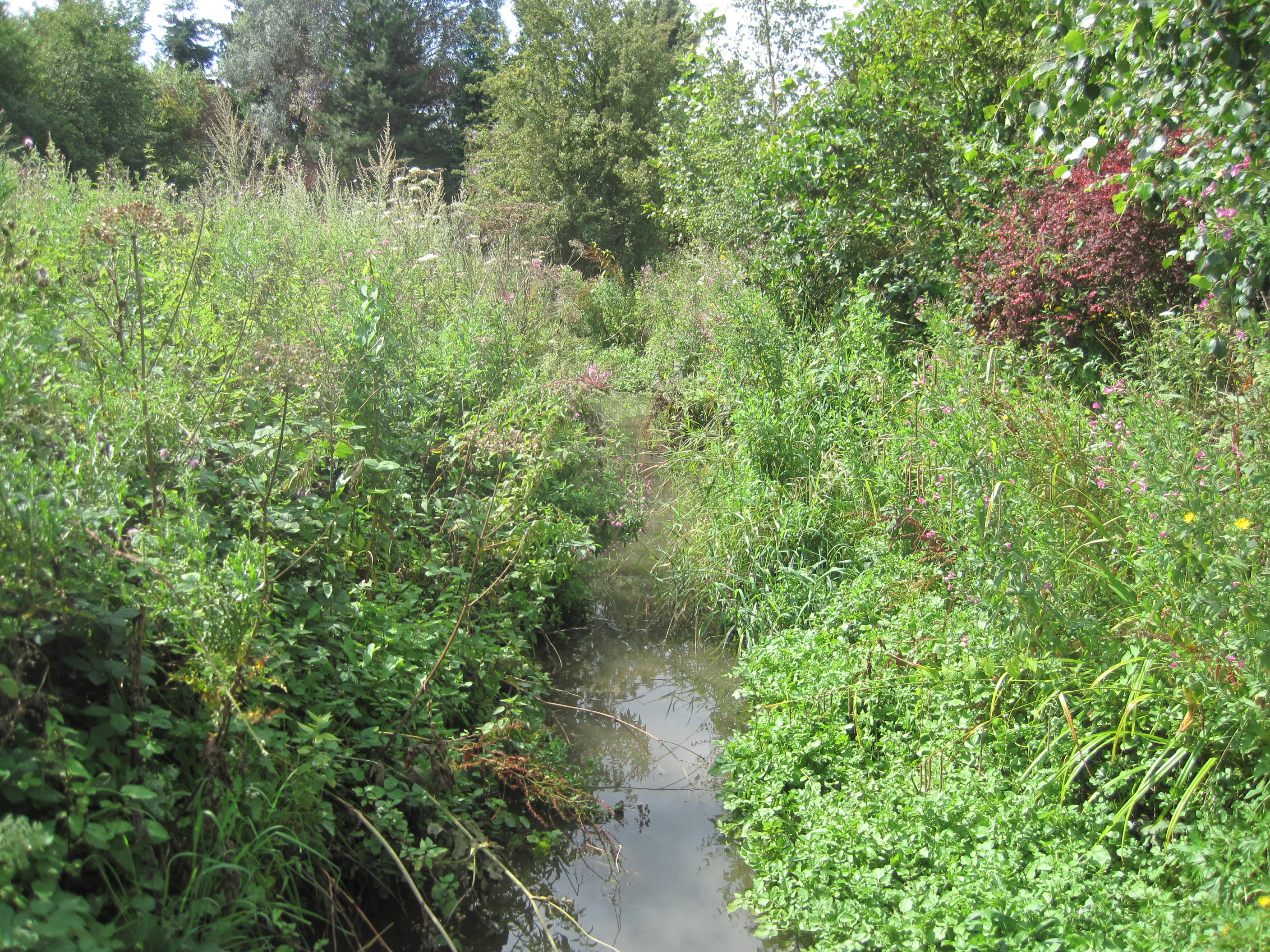
Bush Wood is a natural woodland located in Hertfordshire, England. Covering an area of approximately 100 acres, it is situated on the outskirts of the town of Welwyn Garden City. The wood is characterized by its diverse range of tree species, including oak, beech, ash, and birch.
Bush Wood has a rich history, dating back several centuries. It was originally part of a larger forest known as Hatfield Chase, which was granted to the Bishops of Ely in the 10th century. Over time, the woodland was used for various purposes, including timber production and hunting grounds for the nobility.
Today, Bush Wood is managed by the local council and is popular among nature enthusiasts and walkers. It offers a tranquil escape from urban life, providing a haven for wildlife and a peaceful retreat for visitors. The wood is home to a variety of bird species, such as woodpeckers, owls, and thrushes, as well as small mammals like squirrels and rabbits.
The wood features well-maintained paths and trails, allowing visitors to explore its natural beauty and observe its flora and fauna. In spring, the forest floor is adorned with a vibrant display of bluebells, creating a picturesque scene. Additionally, there are picnic areas and benches scattered throughout the woodland, providing opportunities for relaxation and enjoying the surroundings.
Overall, Bush Wood is a cherished natural asset in Hertfordshire, offering a slice of tranquility and a chance to connect with nature in a picturesque setting.
If you have any feedback on the listing, please let us know in the comments section below.
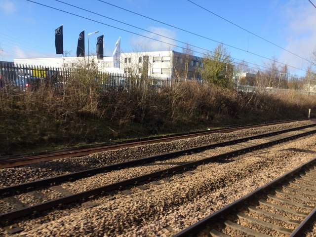
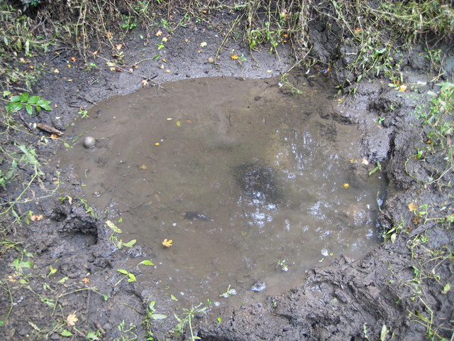
Bush Wood Images
Images are sourced within 2km of 51.734391/-0.2261637 or Grid Reference TL2205. Thanks to Geograph Open Source API. All images are credited.


Bush Wood is located at Grid Ref: TL2205 (Lat: 51.734391, Lng: -0.2261637)
Administrative County: Hertfordshire
District: Welwyn Hatfield
Police Authority: Hertfordshire
What 3 Words
///rises.salad.invent. Near Hatfield, Hertfordshire
Nearby Locations
Related Wikis

Hope and Anchor, Welham Green
The Hope and Anchor was a grade II listed public house Welham Green, Hertfordshire. It is based on a 17th-century timber frame with later additions....

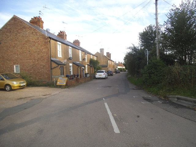
Welham Green
Welham Green is a village in the parish of North Mymms, Hertfordshire, England. It is situated a mile to the west of the Great North Road coaching route...
1870 Hatfield rail crash
On a frosty Boxing day in 1870 the driver of the 16:25 from London King's Cross to Peterborough noticed an 'uneasy oscillation' as he passed over Marshmoor...

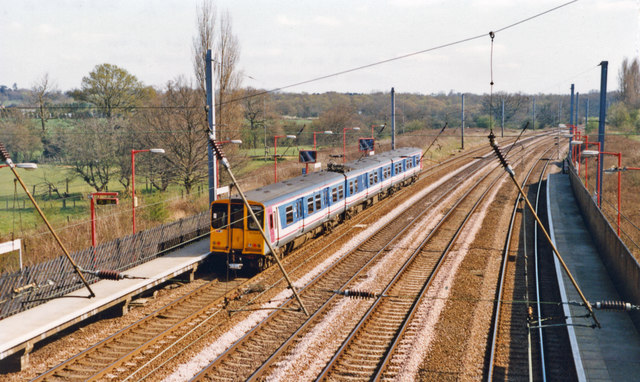
Welham Green railway station
Welham Green railway station serves the village of Welham Green in Hertfordshire, England. It is 15 miles 50 chains (25.1 km) measured from King's Cross...

North Mymms
North Mymms is a civil parish in the English county of Hertfordshire. At the 2011 Census the civil parish had a population of 8,921.The village itself...
Water End Swallow Holes
Water End Swallow Holes is a biological site of Special Scientific Interest in Hertfordshire, south-east England. Located in Welham Green and under the...
Mimmshall Brook
Mimmshall Brook is a 9.8 kilometres (6.1 mi) long stream (brook) in Greater London and Hertfordshire, England. Rising from two sources—one in Hertsmere...

Oxleys Wood
Oxleys Wood is a 1.2 hectare Local Nature Reserve in Hatfield in Hertfordshire. The declaring authority is Welwyn Hatfield Borough Council. The wood floods...
Nearby Amenities
Located within 500m of 51.734391,-0.2261637Have you been to Bush Wood?
Leave your review of Bush Wood below (or comments, questions and feedback).