Combe Bottom
Valley in Sussex Horsham
England
Combe Bottom
Combe Bottom is a picturesque valley located in Sussex, England. Nestled amidst the rolling South Downs, it spans approximately 2 miles in length and is characterized by its lush greenery and tranquil atmosphere. The valley takes its name from the word "combe," which refers to a steep-sided hollow or valley.
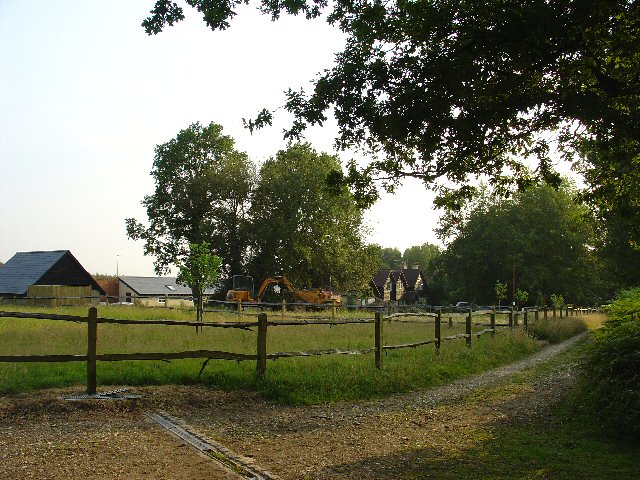
The landscape of Combe Bottom is shaped by the meandering course of a small river that runs through it. The river is flanked by gentle slopes covered in a rich tapestry of wildflowers, ancient woodlands, and grazing pastures. The valley provides a haven for a diverse range of flora and fauna, making it a popular destination for nature enthusiasts and wildlife lovers.
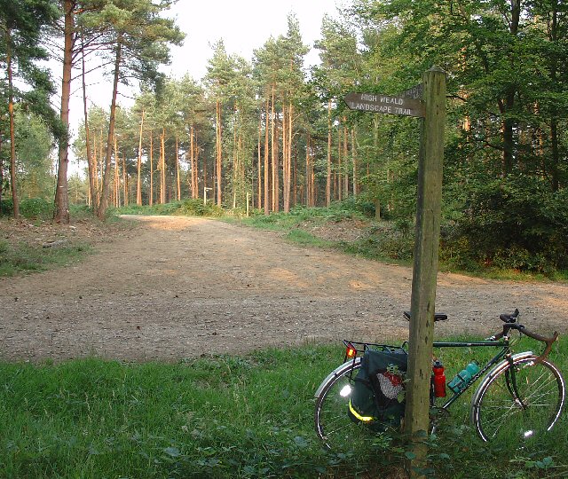
Combe Bottom is also known for its network of walking trails. These paths offer visitors the opportunity to explore the valley's natural beauty and discover hidden gems along the way, such as small waterfalls and stunning viewpoints. The valley's peaceful ambiance, combined with its scenic vistas, makes it a popular spot for hiking, picnicking, or simply unwinding amidst nature.
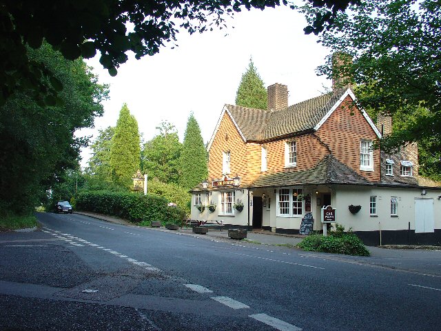
Despite its rural charm, Combe Bottom is conveniently located near several towns and villages, making it easily accessible for day trips or weekend getaways. The valley's proximity to Sussex's larger urban centers allows visitors to enjoy the tranquility of the countryside without sacrificing modern amenities.
Overall, Combe Bottom is a captivating destination that showcases the natural beauty of Sussex. Its idyllic setting, abundance of wildlife, and network of walking trails make it a must-visit location for anyone seeking an immersive experience in the English countryside.
If you have any feedback on the listing, please let us know in the comments section below.
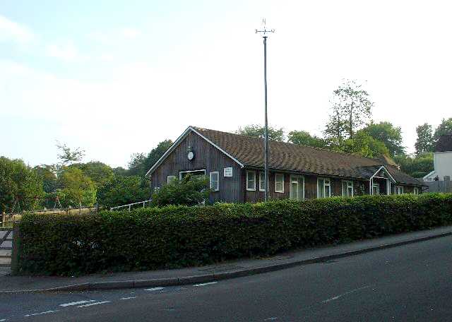
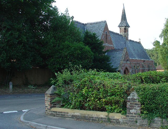
Combe Bottom Images
Images are sourced within 2km of 51.074224/-0.25392316 or Grid Reference TQ2231. Thanks to Geograph Open Source API. All images are credited.


Combe Bottom is located at Grid Ref: TQ2231 (Lat: 51.074224, Lng: -0.25392316)
Administrative County: West Sussex
District: Horsham
Police Authority: Sussex
What 3 Words
///laugh.loving.chairs. Near Bewbush, West Sussex
Nearby Locations
Related Wikis

Colgate, West Sussex
Colgate is a small village and civil parish in the Horsham district of West Sussex, England, about four miles (6 km) north east of Horsham. A small village...

St Leonard's Forest
St Leonard's Forest is at the western end of the Wealden Forest Ridge which runs from Horsham to Tonbridge, and is part of the High Weald Area of Outstanding...

St Leonard's Forest SSSI
St Leonard's Forest SSSI is an 85.4-hectare (211-acre) biological Site of Special Scientific Interest east of Horsham in West Sussex. The SSSI is in two...

Faygate
Faygate is a village in the Horsham district of West Sussex, England. It lies on the A264 road 3.4 miles (5.4 km) south west of Crawley. It has a railway...
Horsham and Crawley (UK Parliament constituency)
Horsham and Crawley was a parliamentary constituency centred on the towns of Horsham and Crawley in West Sussex. It returned one Member of Parliament...

Faygate railway station
Faygate Station is located on the Arun Valley Line, between Littlehaven and Ifield, 34 miles 28 chains (55.3 km) down the line from London Bridge, measured...

Roffey Road Halt railway station
Roffey Road Halt is a now disused station on the Arun Valley Line in West Sussex, England and was the second station north from Horsham on the stretch...
North Horsham railway station
North Horsham is a proposed railway station in Horsham, West Sussex which would serve the North Horsham Business Park. The proposal was backed by West...
Nearby Amenities
Located within 500m of 51.074224,-0.25392316Have you been to Combe Bottom?
Leave your review of Combe Bottom below (or comments, questions and feedback).