Mossy Bottom
Valley in Sussex Adur
England
Mossy Bottom

Mossy Bottom is a picturesque village nestled in the beautiful Sussex Valley, located in the southern region of England. With a population of around 500 residents, it is a close-knit community that exudes charm and tranquility.
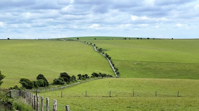
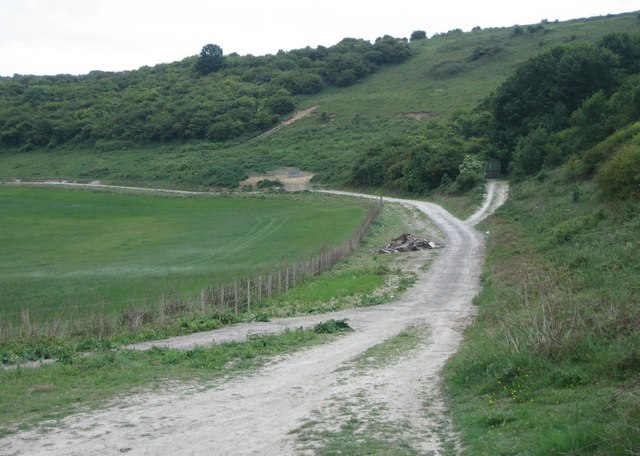
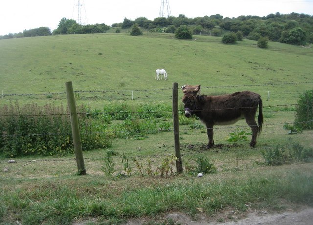
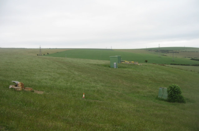
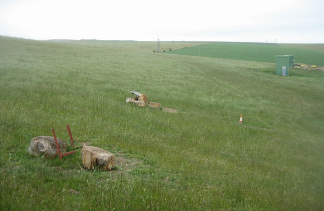
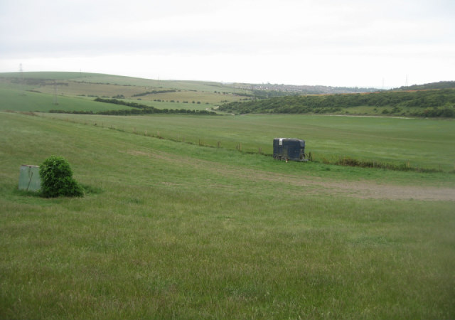
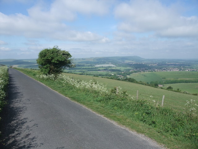
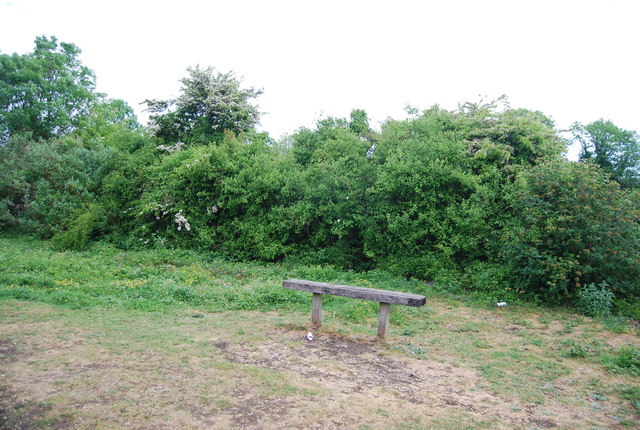
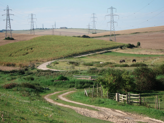
The village itself is characterized by its idyllic setting, surrounded by rolling hills and lush green meadows. The name "Mossy Bottom" originates from the moss-covered stones found along the banks of the small river that runs through the village, adding to its enchanting appeal.
The architecture of Mossy Bottom reflects its rich history, with quaint cottages and traditional buildings lining the narrow streets. Many of these structures date back centuries, showcasing the village's heritage and providing a glimpse into its past.
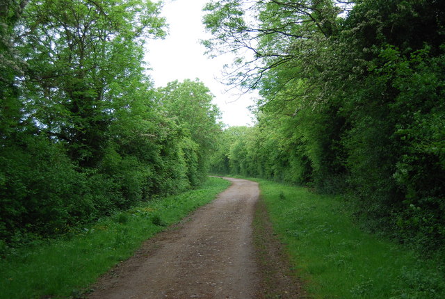
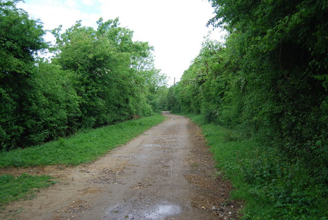
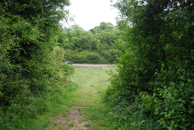
Residents and visitors alike can enjoy the natural beauty of the area through various outdoor activities. The Sussex Valley offers stunning hiking trails, perfect for exploring the countryside and taking in the breathtaking views. The river also provides opportunities for fishing and boating, attracting nature enthusiasts from far and wide.
Mossy Bottom is known for its strong sense of community, with regular events and gatherings bringing everyone together. The village pub, The Mossy Inn, serves as a social hub, hosting live music nights and quiz competitions, fostering a friendly and welcoming atmosphere.
In terms of amenities, Mossy Bottom boasts a small but well-equipped primary school, a village shop, and a post office, ensuring the needs of its residents are met.
Overall, Mossy Bottom, Sussex, is a hidden gem, offering a peaceful and picturesque escape from the hustle and bustle of modern life.
If you have any feedback on the listing, please let us know in the comments section below.
Mossy Bottom Images
Images are sourced within 2km of 50.860746/-0.26421119 or Grid Reference TQ2208. Thanks to Geograph Open Source API. All images are credited.


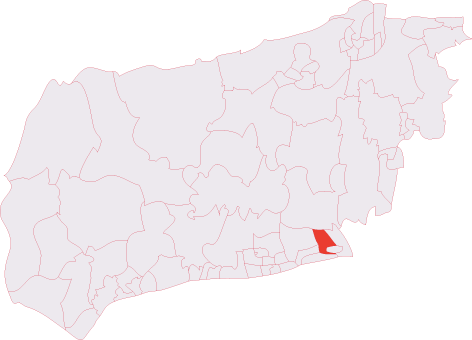
Mossy Bottom is located at Grid Ref: TQ2208 (Lat: 50.860746, Lng: -0.26421119)
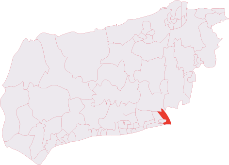
Administrative County: West Sussex
District: Adur
Police Authority: Sussex
What 3 Words
///linen.transmitted.crackled. Near Shoreham-by-Sea, West Sussex
Nearby Locations
Related Wikis

Thundersbarrow Hill
Thundersbarrow Hill is an archaeological site in West Sussex, England. It is on a chalk ridge, aligned north-west to south-east, on the South Downs north...

Mill Hill, Shoreham
Mill Hill is a 13.5-hectare (33-acre) Local Nature Reserve on the northern outskirts of Shoreham-by-Sea in West Sussex. It is owned by Adur District Council...
Shoreham (electoral division)
Shoreham is an electoral division of West Sussex in the United Kingdom, and returns one member to sit on West Sussex County Council. == Extent == The division...

Erringham chapel
Erringham chapel is a former place of worship in the deserted medieval village of Old Erringham, north of Shoreham-by-Sea in the district of Adur, one...
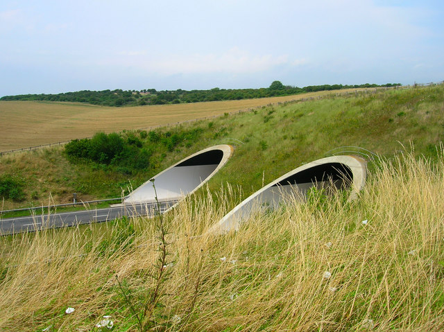
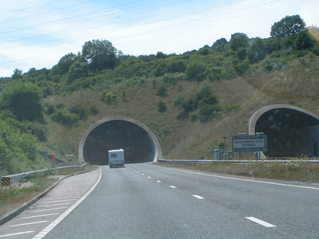
Southwick Hill Tunnel
The Southwick Hill Tunnel is a 490-metre twin-bore road tunnel to the north of Southwick, England. The tunnel was opened in early 1996 as part of the A27...
Southwick (electoral division)
Southwick is an electoral division of West Sussex in the United Kingdom, and returns one member to sit on West Sussex County Council. == Extent == The...

Southlands Hospital
Southlands Hospital is a medical facility based in Shoreham-by-Sea, West Sussex, England, which serves people living in Shoreham itself as well as Worthing...

Seaside Hospital Radio
Seaside Hospital Radio (known until 2004 as Radio Southlands) is a Hospital Radio service broadcasting to both Worthing and Southlands Hospitals in West...
Have you been to Mossy Bottom?
Leave your review of Mossy Bottom below (or comments, questions and feedback).