Thundersbarrow Hill
Hill, Mountain in Sussex Adur
England
Thundersbarrow Hill

Thundersbarrow Hill, located in Sussex, England, is a prominent geological feature that stands as a hill in the region. While it may not reach the height of a mountain, it holds historical and natural significance that draws visitors and tourists alike.
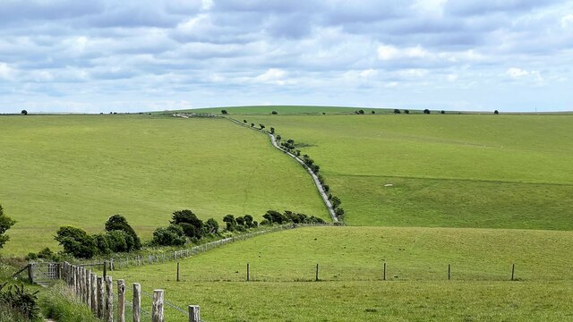
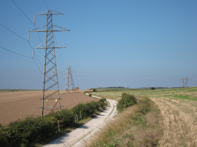
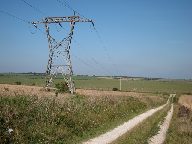
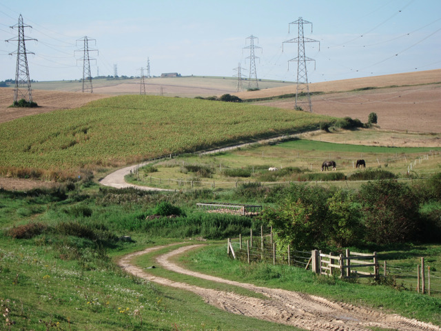
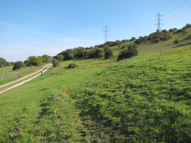
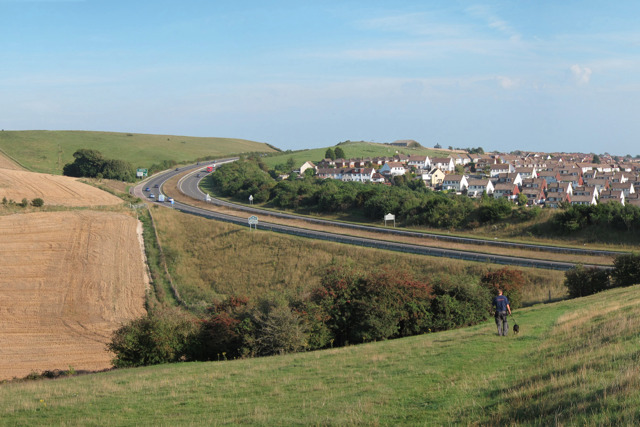
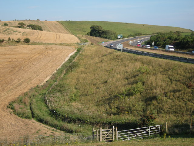
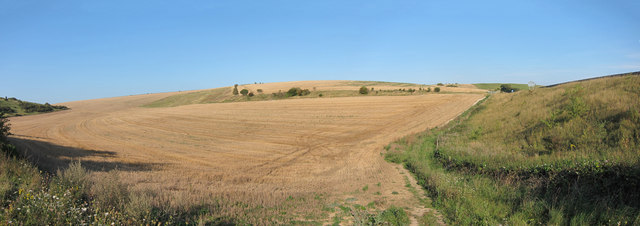
Rising to an elevation of approximately 220 meters (720 feet), Thundersbarrow Hill offers breathtaking panoramic views of the surrounding countryside. It is situated near the village of Mayfield, making it easily accessible for those interested in exploring the area. The hill is composed of chalk, a characteristic geological formation of the South Downs.
The name "Thundersbarrow" is believed to have been derived from the Old English words "thunor" (meaning thunder) and "beorg" (meaning hill), possibly suggesting a connection to ancient folklore or local legends surrounding the hill. However, no definitive evidence supports these claims.
Aside from its geological features, Thundersbarrow Hill has historical significance as well. It is known to have been a site of human activity dating back thousands of years. Archaeological surveys have uncovered remnants of Iron Age hillforts, indicating that the hill was once inhabited by ancient communities. These hillforts would have provided strategic advantages due to their elevated positions.
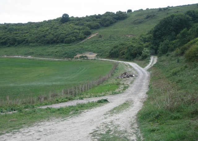
Today, Thundersbarrow Hill attracts outdoor enthusiasts who revel in its natural beauty and tranquil atmosphere. It offers an ideal location for hiking, walking, and picnicking, allowing visitors to immerse themselves in the picturesque surroundings. The hill's historical and geological significance, coupled with its accessibility and stunning views, make it a popular destination for nature lovers and history enthusiasts alike.
If you have any feedback on the listing, please let us know in the comments section below.
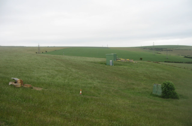
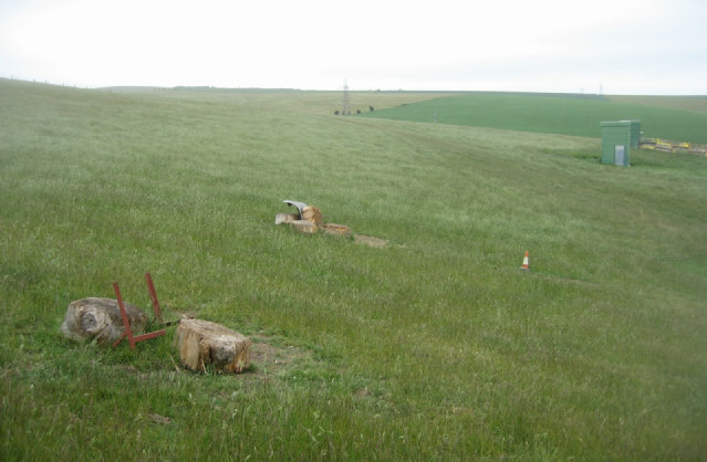
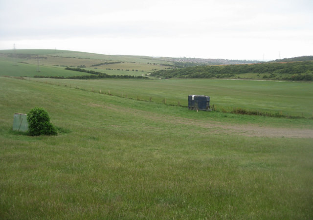
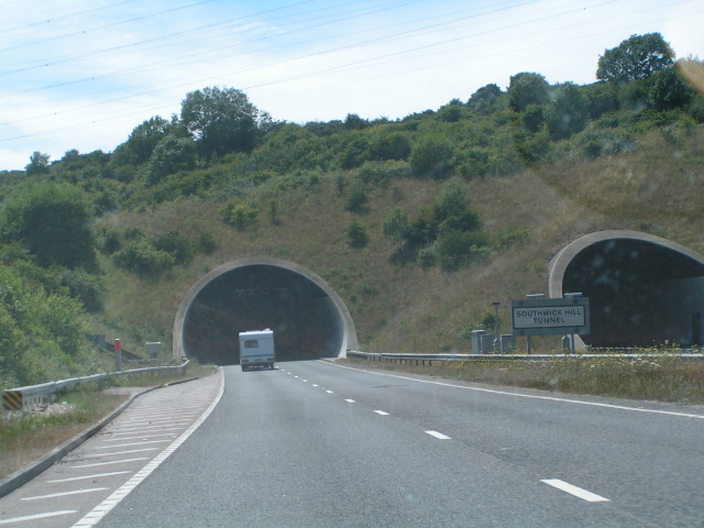
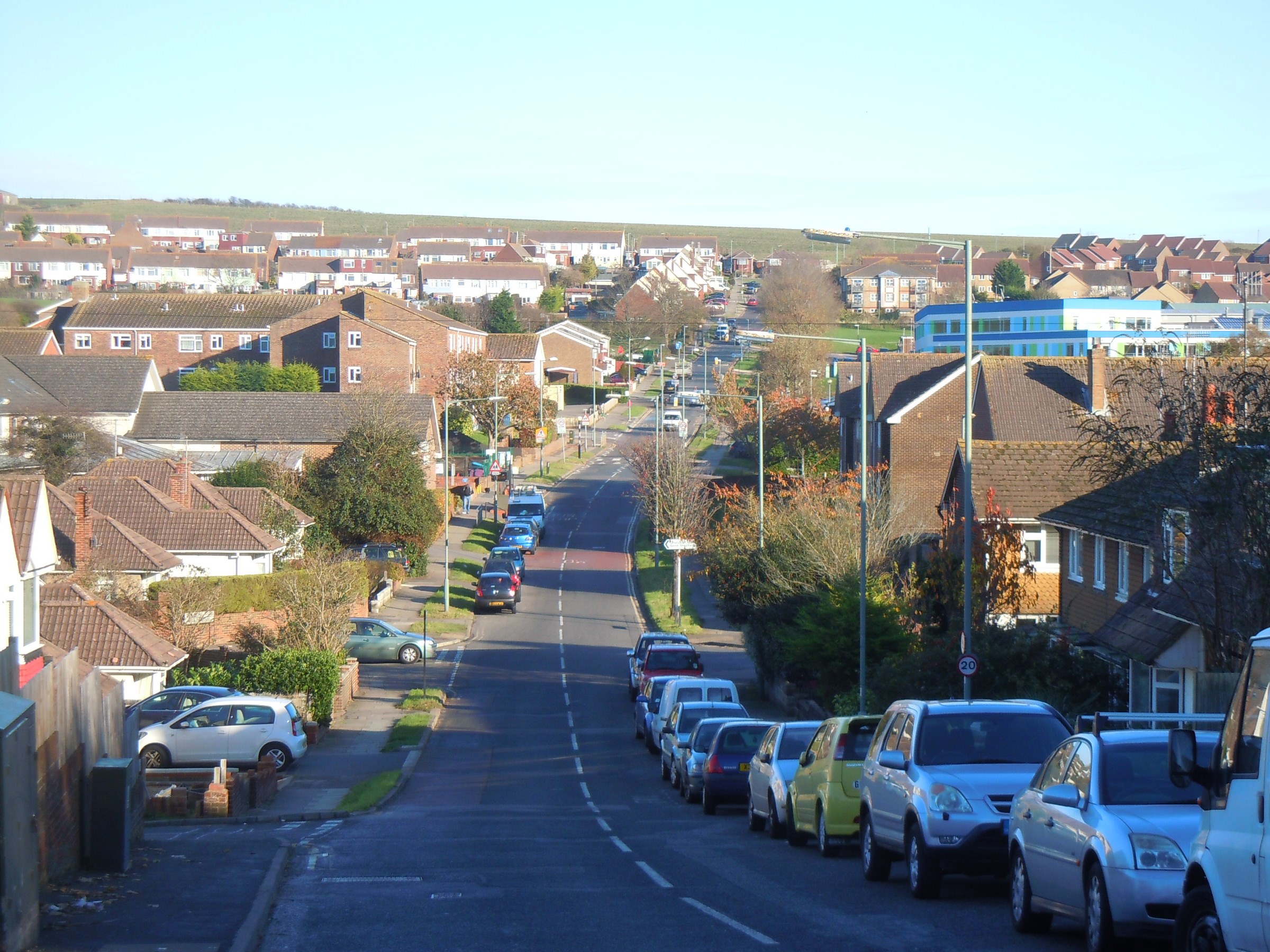
Thundersbarrow Hill Images
Images are sourced within 2km of 50.862069/-0.25466976 or Grid Reference TQ2208. Thanks to Geograph Open Source API. All images are credited.


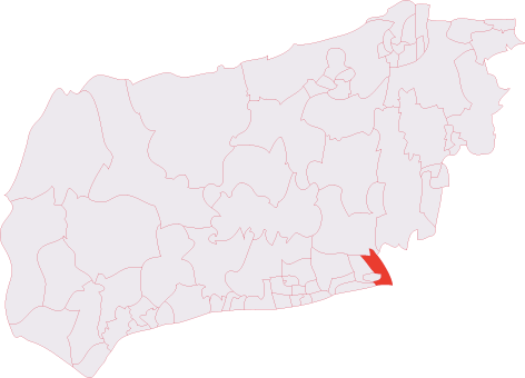
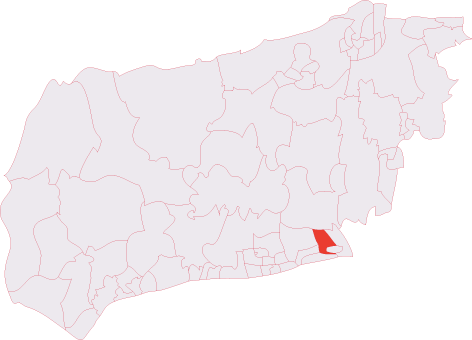
Thundersbarrow Hill is located at Grid Ref: TQ2208 (Lat: 50.862069, Lng: -0.25466976)
Administrative County: West Sussex
District: Adur
Police Authority: Sussex
What 3 Words
///shorter.odds.resettle. Near Shoreham-by-Sea, West Sussex
Nearby Locations
Related Wikis

Thundersbarrow Hill
Thundersbarrow Hill is an archaeological site in West Sussex, England. It is on a chalk ridge, aligned north-west to south-east, on the South Downs north...
Southwick Hill Tunnel
The Southwick Hill Tunnel is a 490-metre twin-bore road tunnel to the north of Southwick, England. The tunnel was opened in early 1996 as part of the A27...
Southwick (electoral division)
Southwick is an electoral division of West Sussex in the United Kingdom, and returns one member to sit on West Sussex County Council. == Extent == The...
Mile Oak
Mile Oak is a locality forming the northern part of the former parish of Portslade in the northwest corner of the city of Brighton and Hove, England....

Mill Hill, Shoreham
Mill Hill is a 13.5-hectare (33-acre) Local Nature Reserve on the northern outskirts of Shoreham-by-Sea in West Sussex. It is owned by Adur District Council...
Shoreham (electoral division)
Shoreham is an electoral division of West Sussex in the United Kingdom, and returns one member to sit on West Sussex County Council. == Extent == The division...

Mile Oak F.C.
Mile Oak Football Club are a football club based in Mile Oak ,Brighton and Hove, England. They were established in 1960 and joined the Sussex County League...

Southlands Hospital
Southlands Hospital is a medical facility based in Shoreham-by-Sea, West Sussex, England, which serves people living in Shoreham itself as well as Worthing...
Nearby Amenities
Located within 500m of 50.862069,-0.25466976Have you been to Thundersbarrow Hill?
Leave your review of Thundersbarrow Hill below (or comments, questions and feedback).