Pans Hill

Hill, Mountain in Yorkshire

England

Pans Hill

Saltaugh Road, Keyingham
Saltaugh Road, Keyingham Credit: David Brown

Pans Hill is a prominent hill located in the county of Yorkshire, England. It is situated near the small village of Threshfield, within the Craven district of North Yorkshire. Rising to an elevation of approximately 337 meters (1,106 feet), Pans Hill offers breathtaking panoramic views of the surrounding countryside.

This hill is part of the Yorkshire Dales National Park, known for its picturesque landscapes and outstanding natural beauty. Pans Hill is characterized by its lush green slopes, dotted with patches of heather and wildflowers, particularly during the summer months when the area comes alive with vibrant colors.

The hill is a popular destination for hikers, walkers, and nature enthusiasts, who are drawn to its tranquil atmosphere and stunning vistas. There are several well-marked footpaths that lead to the summit, allowing visitors to explore the hill at their own pace. Along the way, one can encounter a variety of wildlife, including birds, rabbits, and occasionally, grazing sheep.

At the top of Pans Hill, visitors are rewarded with an unobstructed view of the surrounding Yorkshire Dales, including the rolling hills, meandering rivers, and charming villages nestled in the valleys below. On a clear day, it is even possible to catch a glimpse of the distant peaks of the Pennines.

Pans Hill is not only a natural gem but also a testament to the beauty and diversity of the Yorkshire countryside. Its accessibility and stunning views make it a must-visit destination for anyone seeking to immerse themselves in the tranquility of nature.

If you have any feedback on the listing, please let us know in the comments section below.
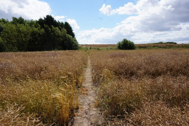
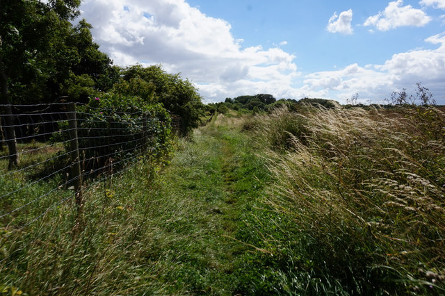
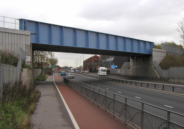
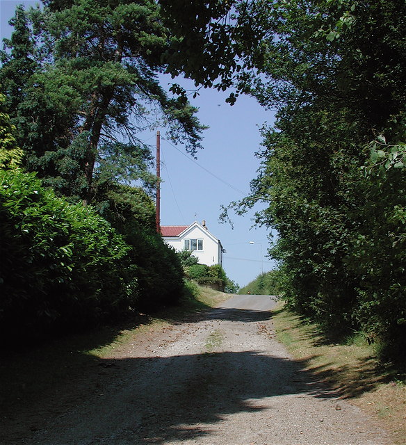
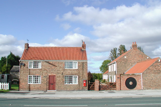
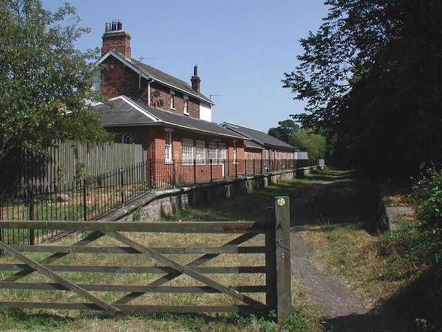
Pans Hill Images

Images are sourced within 2km of 53.711737/-0.13941869 or Grid Reference TA2225. Thanks to Geograph Open Source API. All images are credited.

Saltaugh Road, Keyingham
Ploughed field off Bellcroft Lane Typical local view!
Ploughed field off Bellcroft Lane
Typical local view!
Willowfield, Keyingham
Tawny Mining Bee (Andrena fulva), Keyingham
East Carr Road More a muddy track than a road!
East Carr Road
More a muddy track than a road!
Old Milestone, Thorgumbald Close to the parish boundary with Keyingham this MS sits in the triangle of Hariff Lane where it joins the A1033. In 1900 its location was TA 23051 25622 (SE of junction). Note the map spelling is Patrington as far back as 1892.

Inscription: Pattrington / 6 / Hull / 12

Grade II listed see <span class="nowrap"><a title="https://historicengland.org.uk/listing/the-list/list-entry/1083441" rel="nofollow ugc noopener" href="https://historicengland.org.uk/listing/the-list/list-entry/1083441">Link</a><img style="margin-left:2px;" alt="External link" title="External link - shift click to open in new window" src="https://s1.geograph.org.uk/img/external.png" width="10" height="10"/></span>

Milestone Society National ID: YE_HLPA12
Old Milestone, Thorgumbald
Close to the parish boundary with Keyingham this MS sits in the triangle of Hariff Lane where it joins the A1033. In 1900 its location was TA 23051 25622 (SE of junction). Note the map spelling is Patrington as far back as 1892. Inscription: Pattrington / 6 / Hull / 12 Grade II listed see LinkExternal link Milestone Society National ID: YE_HLPA12
Old milestone This is the most westerly of the milestones on the Patrington and Hedon tollroad which lasted from 1761-1874.   It is on the north side of the A1033 on Main Road, at the east end of Camerton.   Three pegs, one at the top and two at the bottom corners hold the plate onto the stone.   Note that Patrington is spelt with two Ts.   It is Grade II listed 1162045.
Old milestone
This is the most westerly of the milestones on the Patrington and Hedon tollroad which lasted from 1761-1874. It is on the north side of the A1033 on Main Road, at the east end of Camerton. Three pegs, one at the top and two at the bottom corners hold the plate onto the stone. Note that Patrington is spelt with two Ts. It is Grade II listed 1162045.
Rail trail near Burstwick Looking west from the point where the path, along the trackbed of the former Hull to Withernsea railway line, crosses Hariff Lane
Rail trail near Burstwick
Looking west from the point where the path, along the trackbed of the former Hull to Withernsea railway line, crosses Hariff Lane
"Flames" takeaway business in Keyingham
Notice off Hariff Lane, Burstwick
Path leading to Keyingham
Footbridge over Keyingham Drain
Keyingham Drain
Keyingham Drain
Path leading to Keyingham
Stables on Mill Road, Keyingham
Show me another place!

Pans Hill is located at Grid Ref: TA2225 (Lat: 53.711737, Lng: -0.13941869)

Division: East Riding

Unitary Authority: East Riding of Yorkshire

Police Authority: Humberside

What 3 Words

///photos.constrain.print. Near Keyingham, East Yorkshire

Related Wikis

A1033 road

The A1033 road is a main arterial route across Kingston upon Hull and the East Riding of Yorkshire connecting Hull with Withernsea. The road carries traffic...

Ryehill, East Riding of Yorkshire

Ryehill is a hamlet in the East Riding of Yorkshire, England, in an area known as Holderness. It is situated approximately 7 miles (11 km) east of Hull...

Camerton, East Riding of Yorkshire

Camerton is a hamlet in the East Riding of Yorkshire, England, in an area known as Holderness. It is situated approximately 7 miles (11 km) east of Hull...

Rye Hill and Burstwick railway station

Rye Hill and Burstwick railway station is a disused railway station on the North Eastern Railway's Hull and Holderness Railway midway between Burstwick...

Nearby Amenities

Located within 500m of 53.711737,-0.13941869
Bus Stop
Ryehill A1033
Naptan AtcoCode: 2200YEA00370
Naptan Bearing: SE
Naptan CommonName: Ryehill A1033
Naptan Street: Hariff Lane
Naptan Verified: no
Source: naptan_import
Lat/Long: 53.7132497/-0.1385788
Bus Stop
Ryehill A1033
Naptan AtcoCode: 2200YEA00371
Naptan Bearing: NW
Naptan CommonName: Ryehill A1033
Naptan Street: Hariff Lane
Naptan Verified: no
Source: naptan_import
Lat/Long: 53.7132547/-0.1388968
Man Made: tank
Lat/Long: 53.7076686/-0.1398778
Man Made: tank
Lat/Long: 53.7081955/-0.1394162
Man Made: tank
Lat/Long: 53.7080846/-0.1395503
Man Made: tank
Lat/Long: 53.707367/-0.1398885
Man Made: tank
Lat/Long: 53.7080781/-0.1393196
Power: pole
Lat/Long: 53.7122059/-0.1399738
Power: pole
Lat/Long: 53.7131679/-0.1417387
Power: pole
Lat/Long: 53.7136791/-0.1426024
Power: pole
Lat/Long: 53.7108439/-0.1373989
Power: pole
Lat/Long: 53.7099073/-0.135736
Power: pole
Lat/Long: 53.7104026/-0.1366157
Power: pole
Lat/Long: 53.7113424/-0.1383538
Power: pole
Lat/Long: 53.7126917/-0.140859
Power: pole
Lat/Long: 53.7134949/-0.1437558
Power: pole
Lat/Long: 53.7117615/-0.139137
Power: pole
Lat/Long: 53.7132155/-0.1457942
Power: pole
Lat/Long: 53.7141235/-0.143509
Power: pole
Lat/Long: 53.7133203/-0.1448876
Power: pole
Lat/Long: 53.7146474/-0.144496
The data included in this document is from www.openstreetmap.org. The data is made available under ODbL.

Have you been to Pans Hill?

Leave your review of Pans Hill below (or comments, questions and feedback).