The Glen
Valley in Sussex Horsham
England
The Glen

The Glen, Sussex (Valley) is a picturesque rural area located in Sussex County, New Jersey, United States. Nestled in the verdant valleys and rolling hills of the northwestern part of the state, The Glen offers stunning natural beauty and a serene atmosphere.
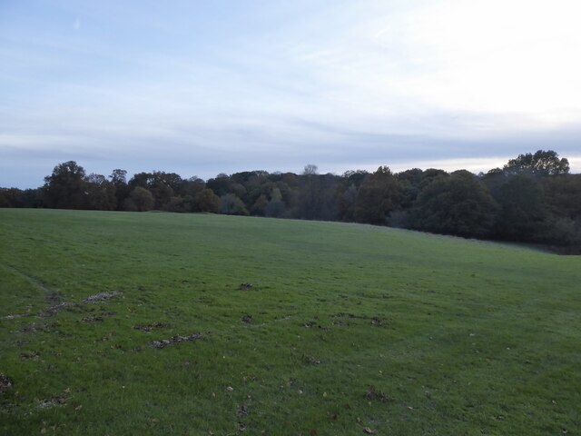
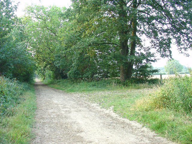
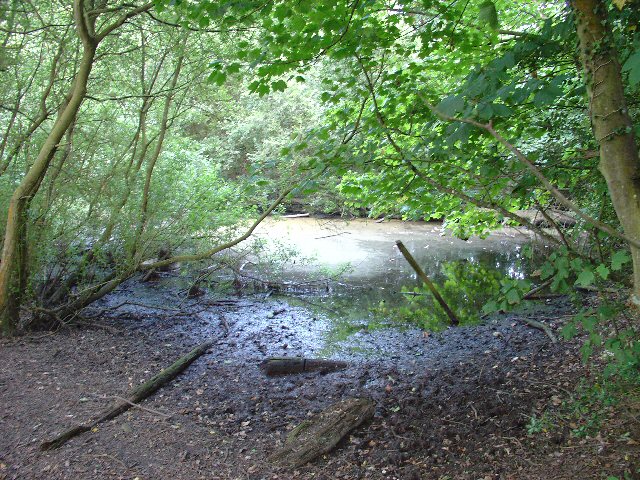
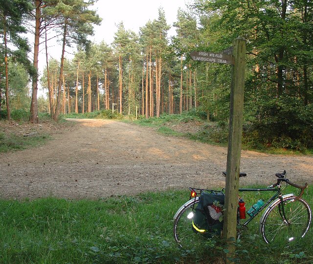
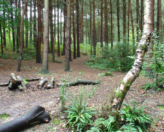
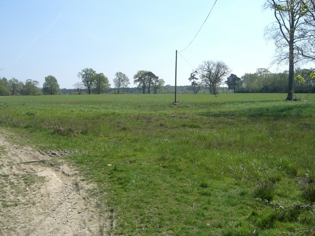
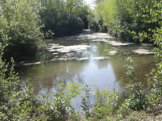
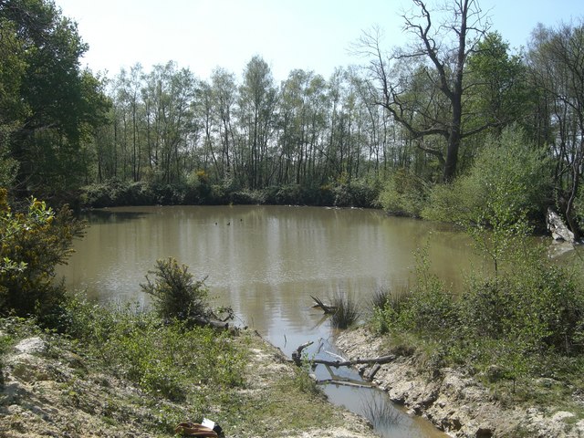
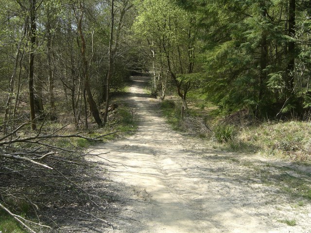
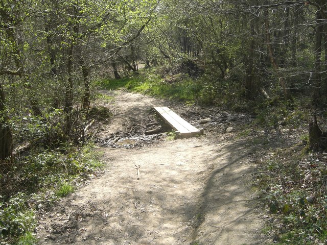
Covering an area of approximately 15 square miles, The Glen is characterized by its lush greenery, dense forests, and meandering streams. The region is renowned for its vibrant wildlife, including various bird species, deer, and other small mammals. The Glen is a haven for nature lovers and outdoor enthusiasts, offering numerous opportunities for hiking, birdwatching, and wildlife photography.
The Glen is also home to a close-knit community of residents who appreciate the tranquility and charm of rural living. The area features a mix of residential properties, ranging from cozy cottages to larger estates, surrounded by picturesque landscapes. The community takes pride in preserving the natural beauty of The Glen, and local conservation efforts have contributed to its unspoiled environment.
Despite its rural setting, The Glen is conveniently located within easy reach of nearby towns and cities. It is only a short drive away from Sussex Borough, where residents can find essential amenities such as grocery stores, schools, and healthcare facilities.
In summary, The Glen, Sussex (Valley) is a scenic and idyllic rural area in Sussex County, New Jersey, offering a peaceful retreat from the hustle and bustle of urban life. With its natural beauty, diverse wildlife, and strong sense of community, The Glen is a hidden gem for those seeking a tranquil and close-to-nature lifestyle.
If you have any feedback on the listing, please let us know in the comments section below.
The Glen Images
Images are sourced within 2km of 51.057753/-0.29317128 or Grid Reference TQ1930. Thanks to Geograph Open Source API. All images are credited.


The Glen is located at Grid Ref: TQ1930 (Lat: 51.057753, Lng: -0.29317128)
Administrative County: West Sussex
District: Horsham
Police Authority: Sussex
What 3 Words
///body.mental.sheets. Near Horsham, West Sussex
Nearby Locations
Related Wikis

St Leonard's Park Ponds
St Leonard's Park Ponds is a 3.9-hectare (9.6-acre) biological Site of Special Scientific Interest east of Horsham in West Sussex.These ponds and adjacent...

Horsham Riverside (electoral division)
Horsham Riverside is an electoral division of West Sussex in the United Kingdom and returns one member to sit on West Sussex County Council. == Extent... ==

The Forest School, Horsham
The Forest School is a comprehensive secondary school in Horsham, West Sussex, England. It educates students between the ages of 11 and 16 and is a specialist...

Millais School
Millais School is a girls' secondary school for students aged 11–16 in Horsham, West Sussex, England. There is no sixth form. The number on roll is over...

St Leonard's Forest SSSI
St Leonard's Forest SSSI is an 85.4-hectare (211-acre) biological Site of Special Scientific Interest east of Horsham in West Sussex. The SSSI is in two...

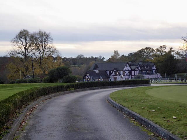
Mannings Heath Golf & Wine Estate
Mannings Heath Golf & Wine Estate is located in Mannings Heath, Horsham in the south of England. The 500 acre parkland site includes two golf courses and...

Mannings Heath
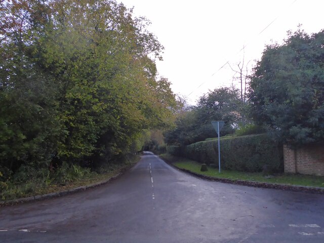
Mannings Heath is a village in the civil parish of Nuthurst and the Horsham District of West Sussex, England. The village is on the A281 road, 2 miles...
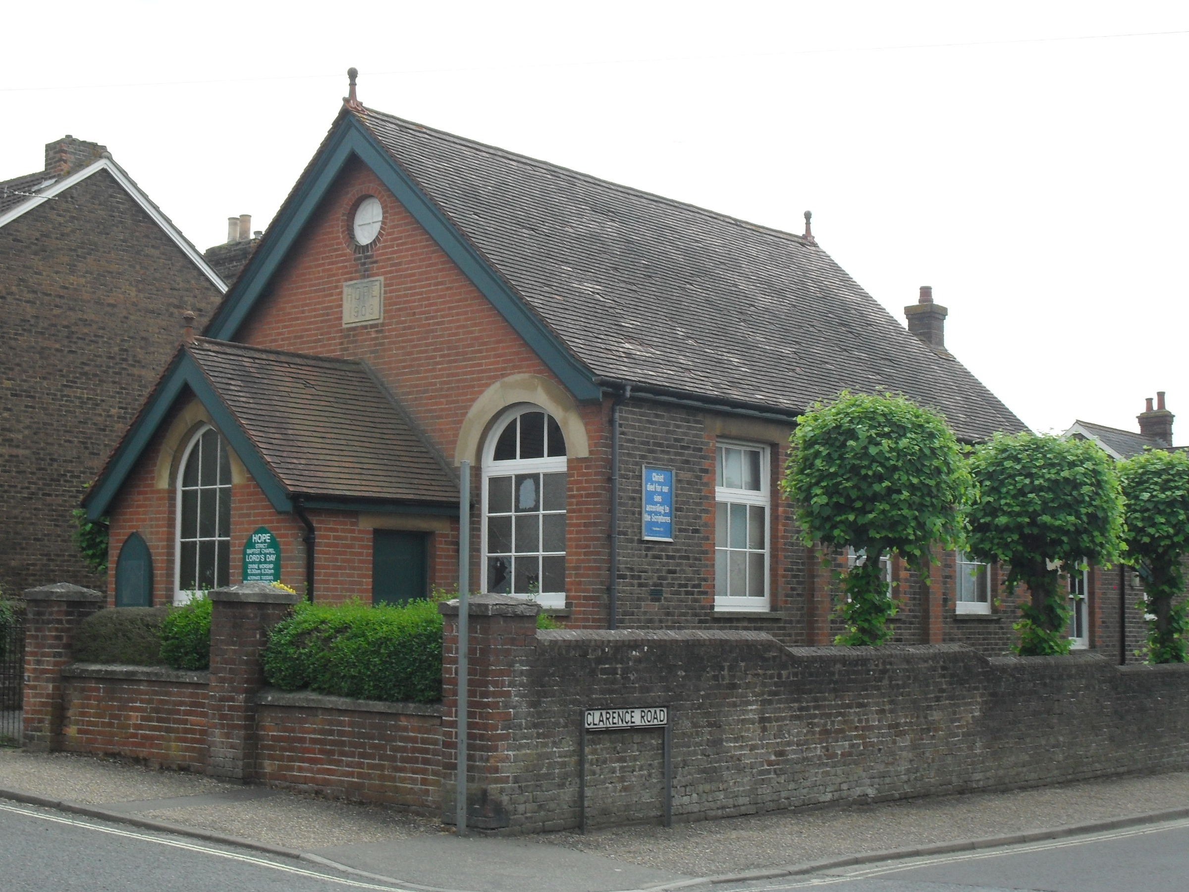
Hope Chapel, Horsham
The Hope Chapel is a Strict Baptist place of worship in the town of Horsham in the English county of West Sussex. The chapel was built in 1903. Horsham...
Nearby Amenities
Located within 500m of 51.057753,-0.29317128Have you been to The Glen?
Leave your review of The Glen below (or comments, questions and feedback).