Highland Copse
Wood, Forest in Sussex Horsham
England
Highland Copse

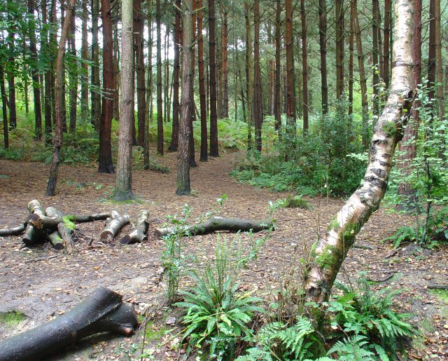
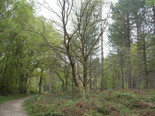
Highland Copse is a woodland located in Sussex, England. It is known for its stunning natural beauty and diverse wildlife. The copse covers an area of approximately 100 acres and is a popular destination for nature enthusiasts and hikers.
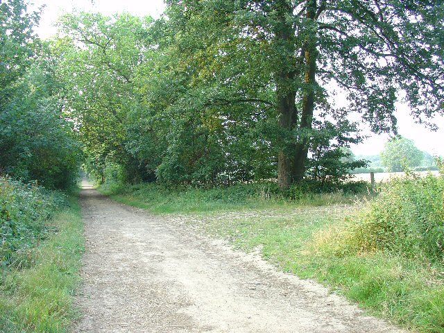
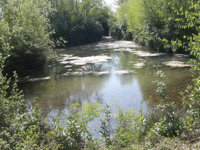
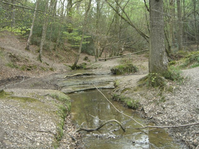
The woodland is primarily composed of native tree species such as oak, ash, and birch. These trees create a dense canopy that provides shade and shelter for a wide range of flora and fauna. The forest floor is covered in a lush carpet of ferns, wildflowers, and mosses, adding to the area's charm.
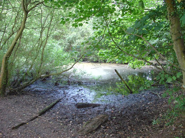
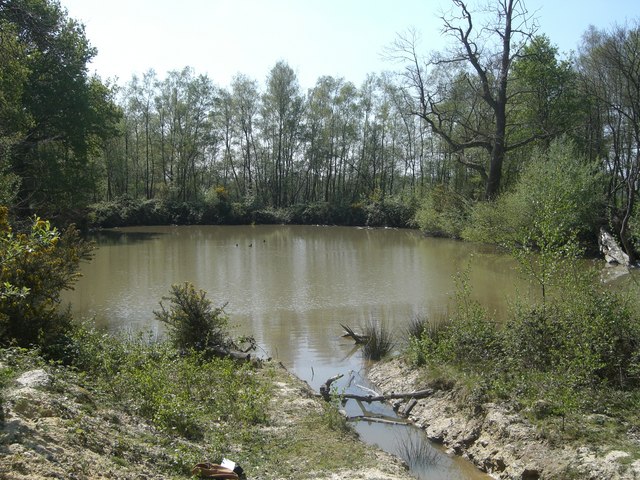
Highland Copse is home to a variety of wildlife, including deer, foxes, badgers, and numerous bird species. Birdwatchers can spot woodpeckers, owls, and various songbirds throughout the year. The copse also has several ponds and streams, which attract amphibians such as frogs and newts.
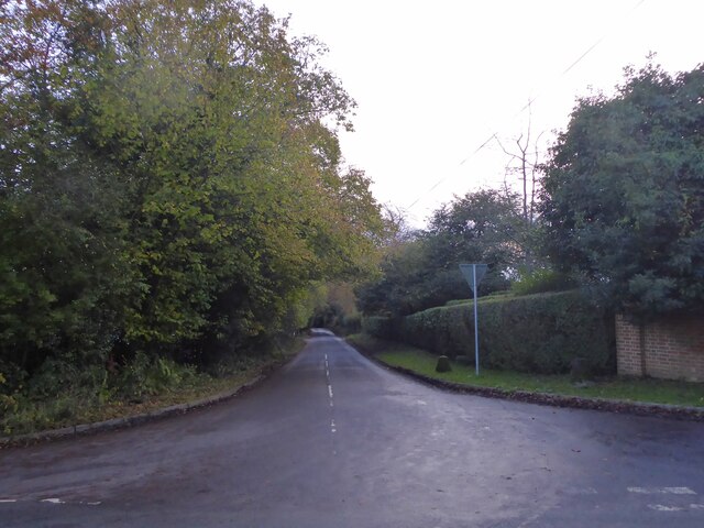
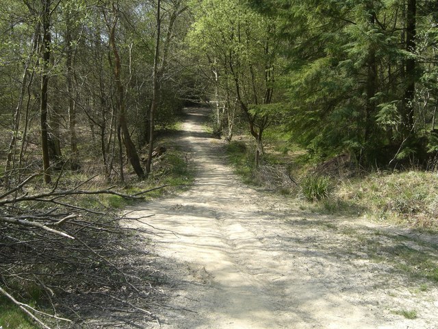
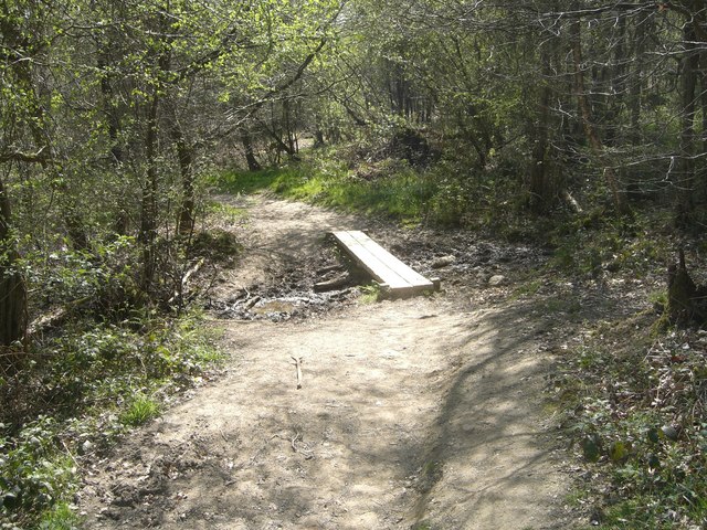
The woodland is crisscrossed with a network of walking trails, allowing visitors to explore its beauty at their own pace. These trails lead to scenic viewpoints, hidden clearings, and secluded picnic spots. The copse is well-maintained, with designated picnic areas and benches for visitors to relax and enjoy the peaceful surroundings.
Highland Copse is easily accessible by car and has a small parking area for visitors. It is open year-round, although spring and summer are particularly beautiful times to visit, as the woodland comes alive with vibrant colors and the songs of birds.
Overall, Highland Copse is a picturesque woodland that offers a tranquil escape from the hustle and bustle of everyday life. With its diverse wildlife, scenic trails, and natural beauty, it is a must-visit destination for nature lovers and outdoor enthusiasts in Sussex.
If you have any feedback on the listing, please let us know in the comments section below.
Highland Copse Images
Images are sourced within 2km of 51.058713/-0.29546201 or Grid Reference TQ1930. Thanks to Geograph Open Source API. All images are credited.


Highland Copse is located at Grid Ref: TQ1930 (Lat: 51.058713, Lng: -0.29546201)
Administrative County: West Sussex
District: Horsham
Police Authority: Sussex
What 3 Words
///river.cubes.thin. Near Horsham, West Sussex
Nearby Locations
Related Wikis

Horsham Riverside (electoral division)
Horsham Riverside is an electoral division of West Sussex in the United Kingdom and returns one member to sit on West Sussex County Council. == Extent... ==

St Leonard's Park Ponds
St Leonard's Park Ponds is a 3.9-hectare (9.6-acre) biological Site of Special Scientific Interest east of Horsham in West Sussex.These ponds and adjacent...

The Forest School, Horsham
The Forest School is a comprehensive secondary school in Horsham, West Sussex, England. It educates students between the ages of 11 and 16 and is a specialist...

Millais School
Millais School is a girls' secondary school for students aged 11–16 in Horsham, West Sussex, England. There is no sixth form. The number on roll is over...
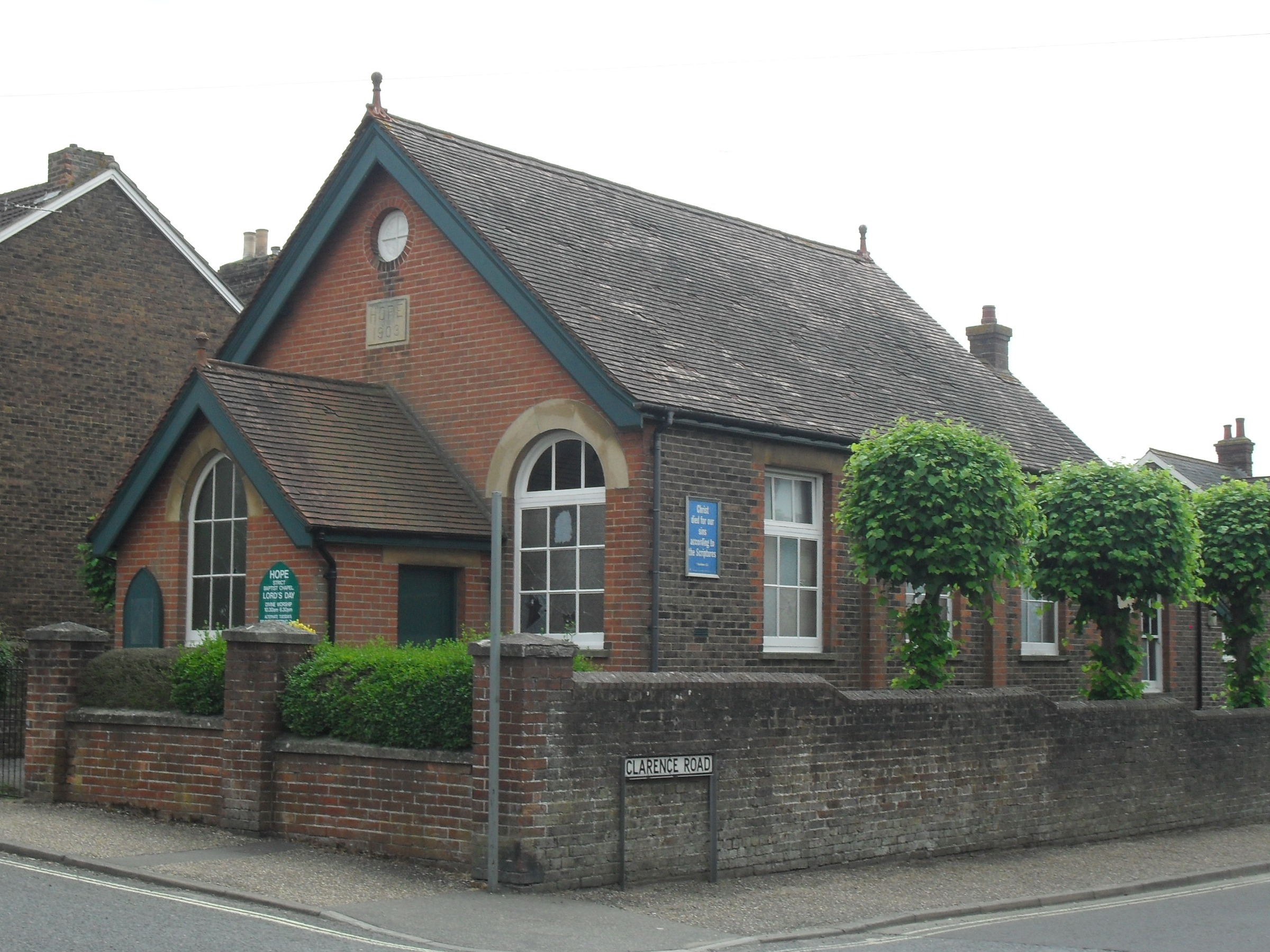
Hope Chapel, Horsham
The Hope Chapel is a Strict Baptist place of worship in the town of Horsham in the English county of West Sussex. The chapel was built in 1903. Horsham...

St Leonard's Forest SSSI
St Leonard's Forest SSSI is an 85.4-hectare (211-acre) biological Site of Special Scientific Interest east of Horsham in West Sussex. The SSSI is in two...

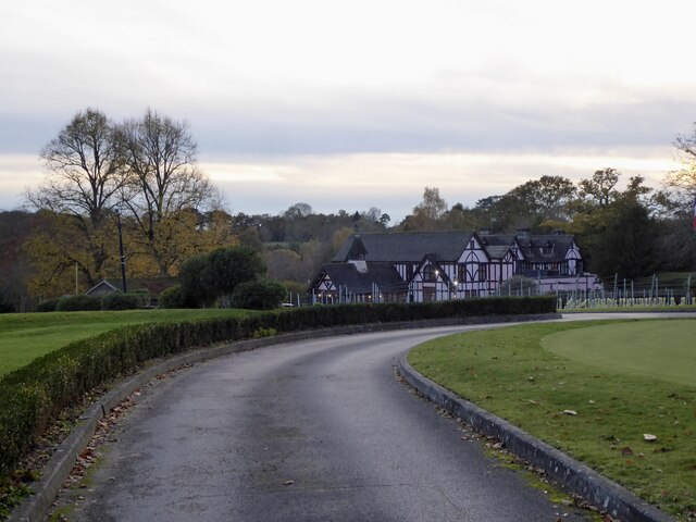
Mannings Heath Golf & Wine Estate
Mannings Heath Golf & Wine Estate is located in Mannings Heath, Horsham in the south of England. The 500 acre parkland site includes two golf courses and...

Mannings Heath
Mannings Heath is a village in the civil parish of Nuthurst and the Horsham District of West Sussex, England. The village is on the A281 road, 2 miles...
Nearby Amenities
Located within 500m of 51.058713,-0.29546201Have you been to Highland Copse?
Leave your review of Highland Copse below (or comments, questions and feedback).