Bush Copse
Wood, Forest in Sussex Horsham
England
Bush Copse
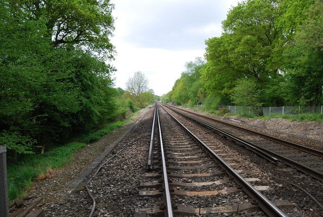
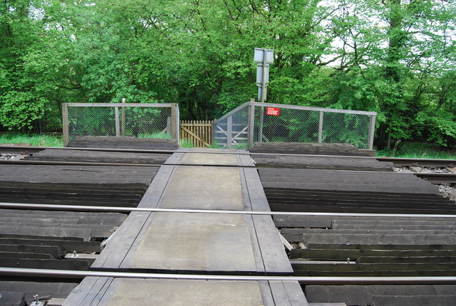
Bush Copse is a dense woodland located in the county of Sussex, England. Stretching over an area of approximately 500 acres, it is considered one of the largest woodlands in the region. The copse is situated in the south-western part of Sussex, near the village of Henfield.
The woodland is characterized by its diverse range of tree species, including oak, ash, beech, and birch. These towering trees create a dense canopy, providing shade and shelter for a variety of wildlife. The forest floor is covered in a thick layer of leaf litter, creating a habitat for numerous small mammals, insects, and fungi.
Bush Copse is well-known for its enchanting beauty, especially during the autumn months when the foliage displays vibrant hues of red, orange, and yellow. The woodland is also home to a network of peaceful walking trails, which allow visitors to explore the natural wonders and serenity of the copse.
The woodland is managed by the local Sussex Wildlife Trust, which has implemented conservation efforts to protect and enhance the biodiversity of the area. These efforts include controlled woodland management practices, such as selective tree thinning and coppicing, to maintain a healthy and sustainable ecosystem.
Bush Copse is a popular destination for nature enthusiasts, hikers, and photographers, who are drawn to its tranquil atmosphere and picturesque landscapes. Whether it is observing the diverse wildlife, immersing in the beauty of the changing seasons, or simply enjoying a peaceful walk amidst nature, Bush Copse offers a truly captivating experience for all who visit.
If you have any feedback on the listing, please let us know in the comments section below.
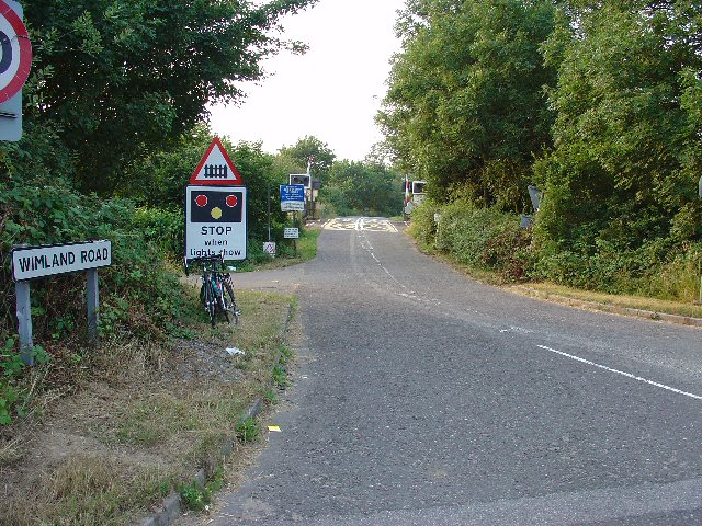
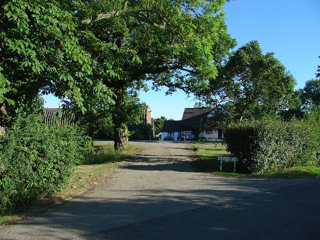
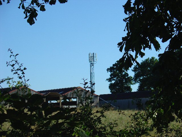
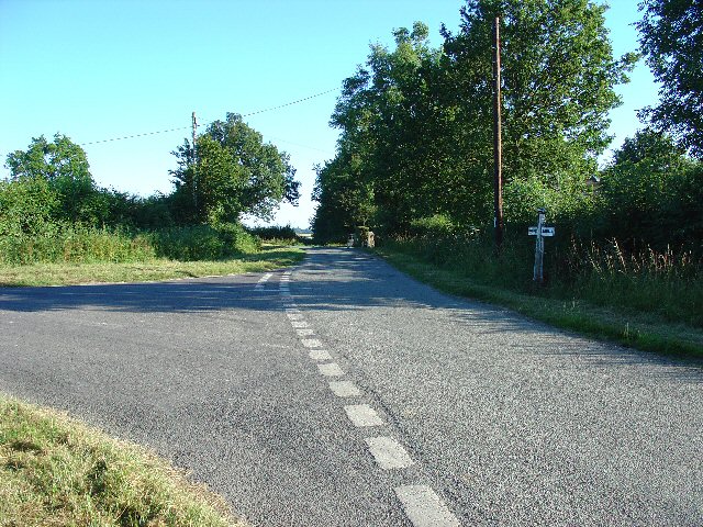
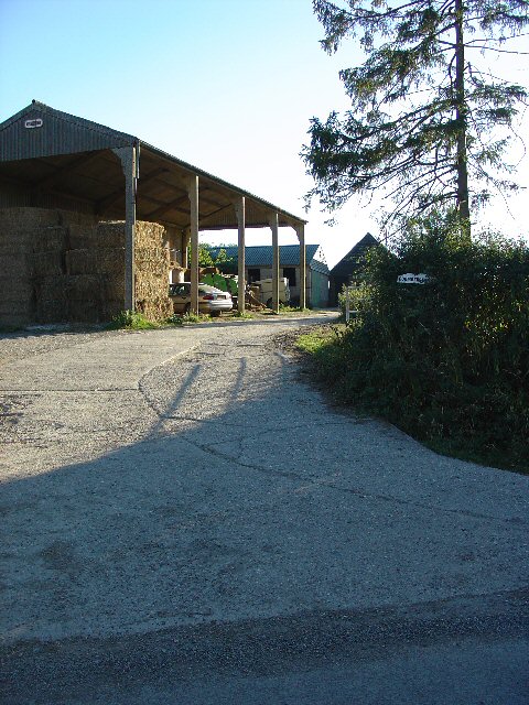
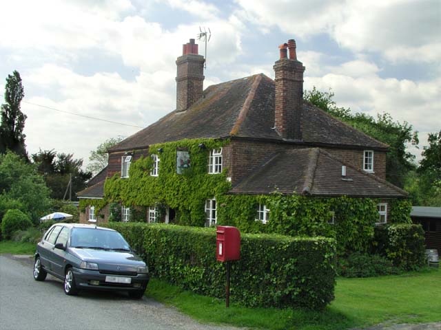
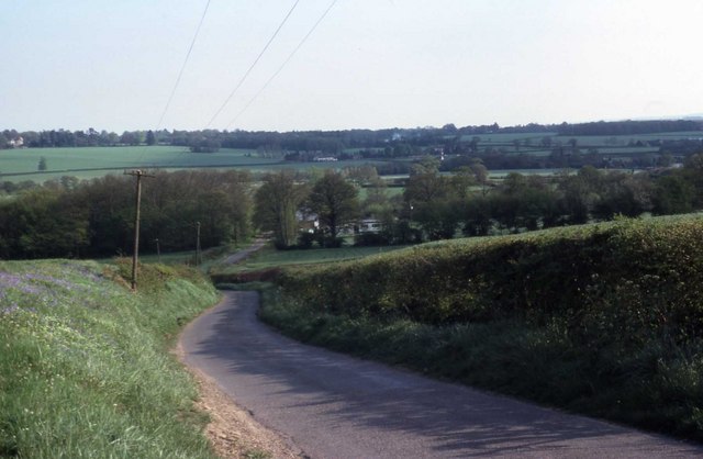
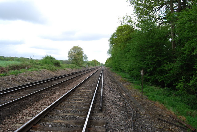
Bush Copse Images
Images are sourced within 2km of 51.089613/-0.29426916 or Grid Reference TQ1933. Thanks to Geograph Open Source API. All images are credited.


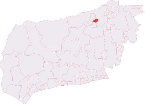
Bush Copse is located at Grid Ref: TQ1933 (Lat: 51.089613, Lng: -0.29426916)
Administrative County: West Sussex
District: Horsham
Police Authority: Sussex
What 3 Words
///abacus.feuds.logo. Near Horsham, West Sussex
Nearby Locations
Related Wikis

Bohunt Horsham
Bohunt Horsham is a coeducational all-through school located in Horsham, West Sussex, England. The school opened to 120 students in Year 7 in 2019 in temporary...
Roffey F.C.
Roffey F.C. is an English football club located in Roffey, Horsham in West Sussex. The club are currently members of the Southern Combination Division...
North Horsham railway station
North Horsham is a proposed railway station in Horsham, West Sussex which would serve the North Horsham Business Park. The proposal was backed by West...

Roffey Road Halt railway station
Roffey Road Halt is a now disused station on the Arun Valley Line in West Sussex, England and was the second station north from Horsham on the stretch...
North Horsham
North Horsham is a civil parish in the district of Horsham in West Sussex, England, covering the northern part of the Horsham town area. According to...
Roffey (electoral division)
Roffey is an electoral division of West Sussex in the United Kingdom and returns one member to sit on West Sussex County Council. == Extent == The division...
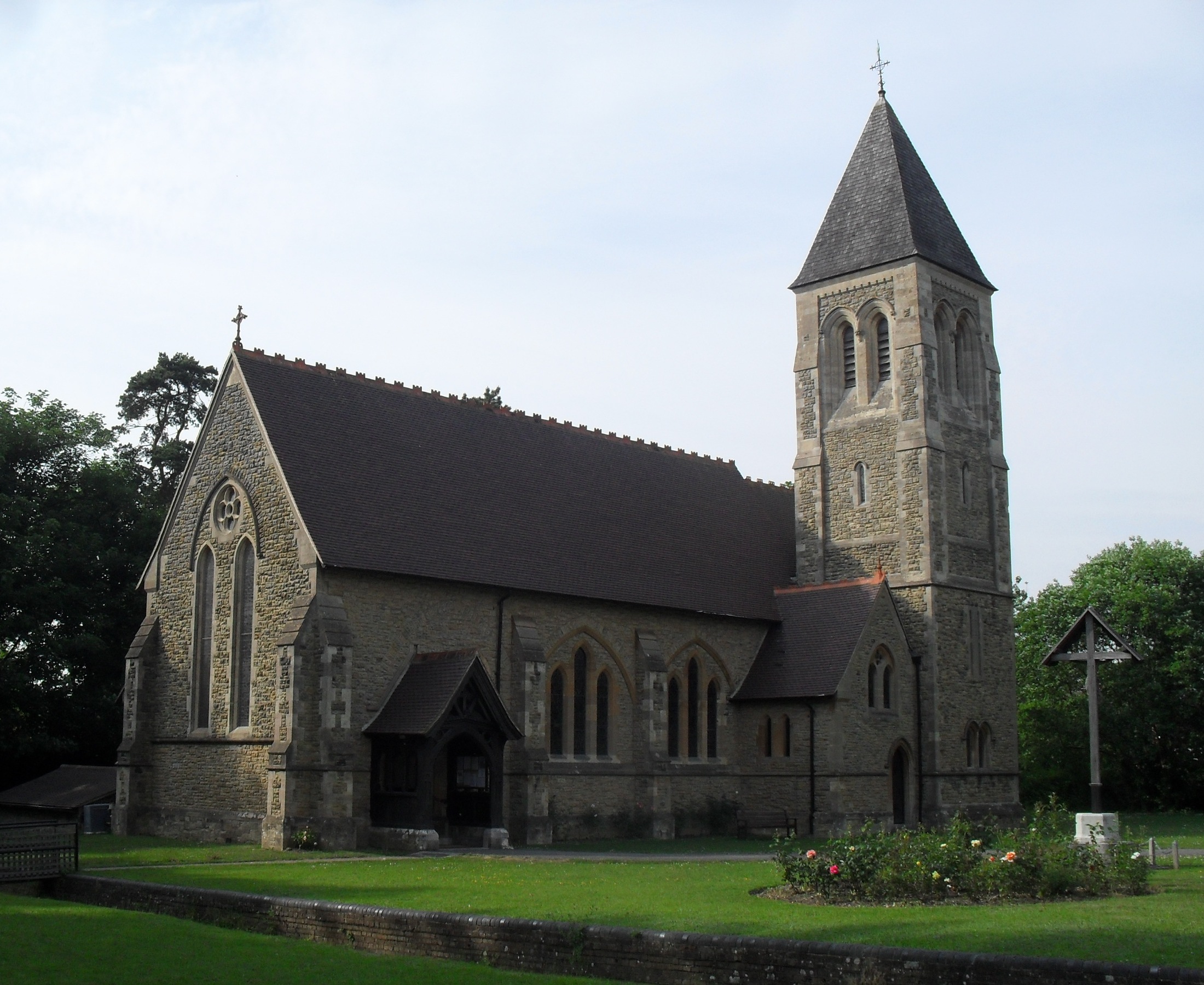
All Saints Church, Roffey
All Saints Church is the Anglican parish church of Roffey, in the Horsham district of the English county of West Sussex. The present church, built to...
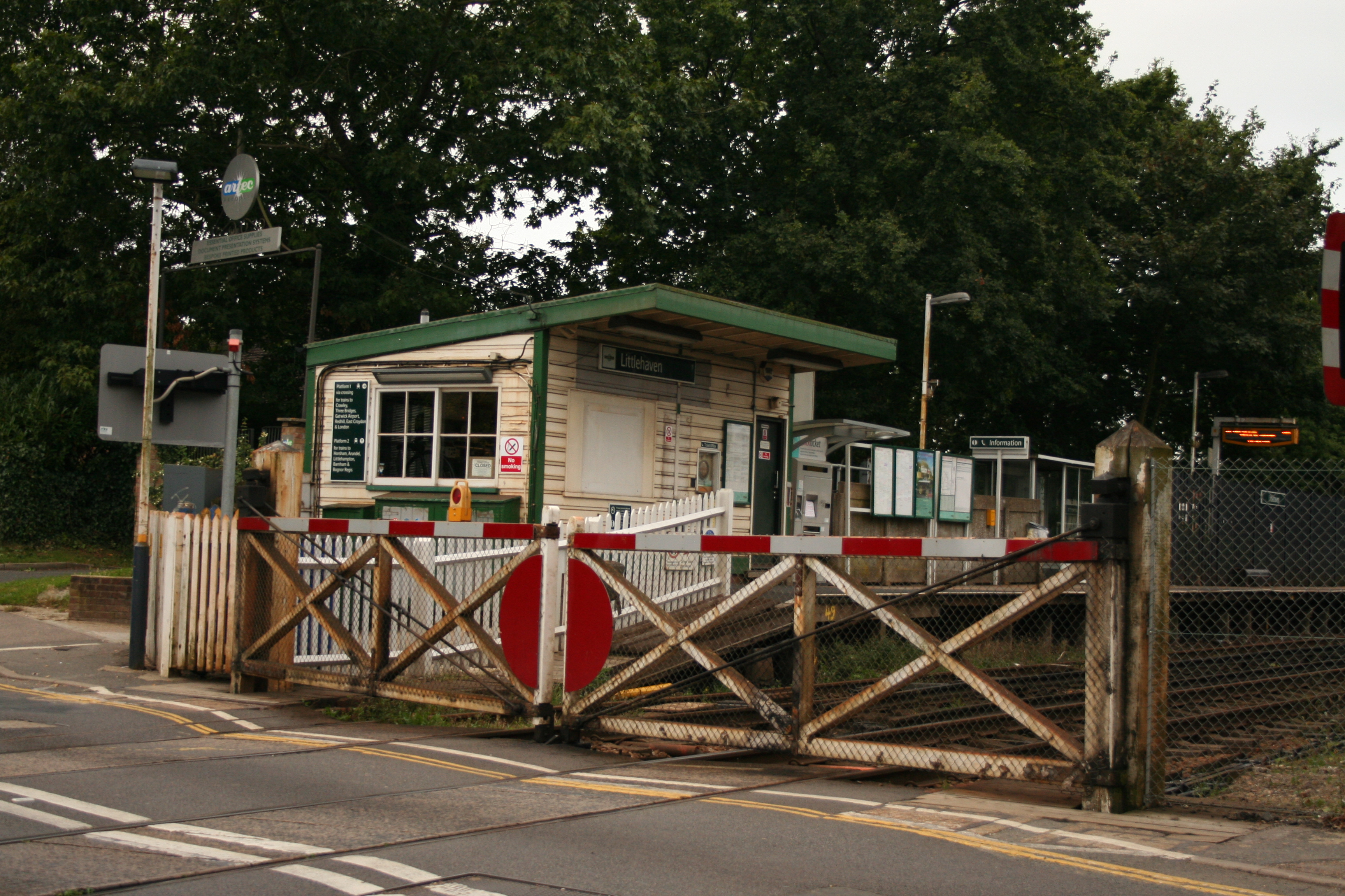
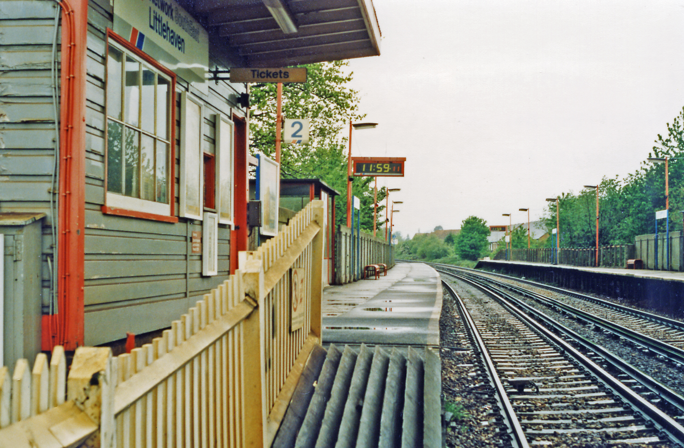
Littlehaven railway station
Littlehaven railway station serves the areas of Littlehaven, Holbrook and Roffey in the northeast of the town of Horsham, West Sussex, England. It is on...
Nearby Amenities
Located within 500m of 51.089613,-0.29426916Have you been to Bush Copse?
Leave your review of Bush Copse below (or comments, questions and feedback).