Dry Pond
Lake, Pool, Pond, Freshwater Marsh in Sussex Horsham
England
Dry Pond

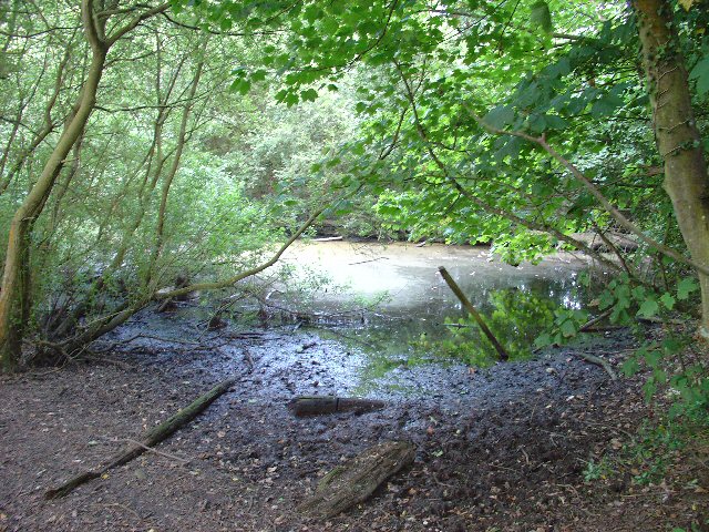
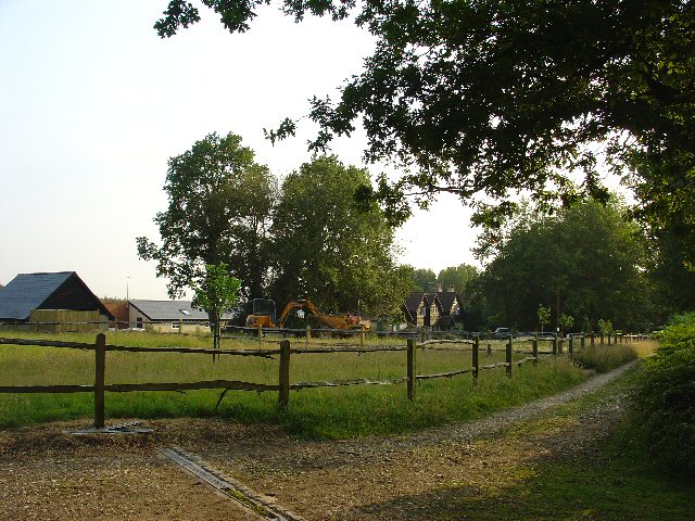
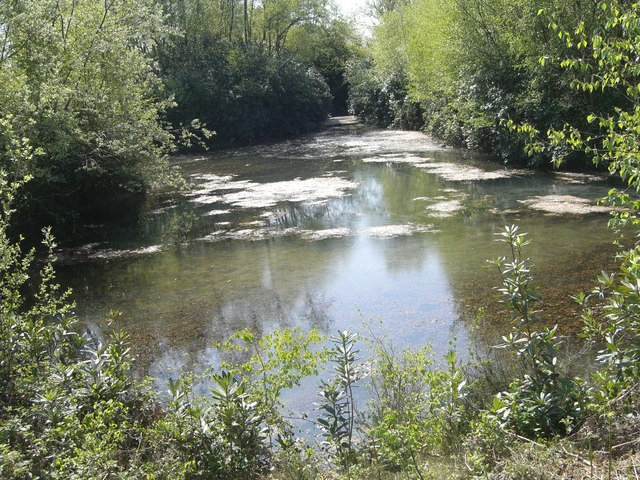
Dry Pond is a small freshwater feature located in the county of Sussex, in the southeastern part of England. Despite its name, the pond is not completely dry and retains water throughout the year, making it an essential habitat for various flora and fauna.
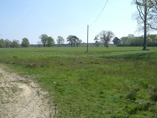
With a surface area of approximately one acre, Dry Pond is surrounded by lush vegetation, including reeds, grasses, and small trees. This vegetation provides a valuable habitat and nesting site for numerous bird species, such as ducks, geese, and herons. The pond also attracts a variety of insects, amphibians, and small mammals.
The water in Dry Pond is primarily sourced from rainfall and groundwater seepage. It is relatively shallow, with an average depth of about three feet. The pond is fed by a small stream that enters from the eastern side and drains out through an outlet on the western side. This constant flow of water helps maintain the pond's ecosystem balance and prevents stagnation.
Dry Pond serves as a freshwater marsh, providing important ecosystem services. It helps to filter and purify water, reducing pollutants and sediment before they reach downstream bodies of water. The marsh vegetation also acts as a natural buffer, reducing erosion and flooding in the surrounding area.
The pond's location within Sussex makes it a popular destination for nature enthusiasts and photographers. The tranquil setting offers opportunities for birdwatching, nature walks, and peaceful picnics. Visitors can observe the diverse wildlife that thrives in and around Dry Pond, making it a haven for nature lovers and a valuable ecological asset for the local community.
If you have any feedback on the listing, please let us know in the comments section below.
Dry Pond Images
Images are sourced within 2km of 51.06325/-0.28901591 or Grid Reference TQ1930. Thanks to Geograph Open Source API. All images are credited.


Dry Pond is located at Grid Ref: TQ1930 (Lat: 51.06325, Lng: -0.28901591)
Administrative County: West Sussex
District: Horsham
Police Authority: Sussex
What 3 Words
///modules.conceals.cheerily. Near Horsham, West Sussex
Nearby Locations
Related Wikis

St Leonard's Park Ponds
St Leonard's Park Ponds is a 3.9-hectare (9.6-acre) biological Site of Special Scientific Interest east of Horsham in West Sussex.These ponds and adjacent...

Horsham Riverside (electoral division)
Horsham Riverside is an electoral division of West Sussex in the United Kingdom and returns one member to sit on West Sussex County Council. == Extent... ==

Millais School
Millais School is a girls' secondary school for students aged 11–16 in Horsham, West Sussex, England. There is no sixth form. The number on roll is over...

The Forest School, Horsham
The Forest School is a comprehensive secondary school in Horsham, West Sussex, England. It educates students between the ages of 11 and 16 and is a specialist...

St Leonard's Forest SSSI
St Leonard's Forest SSSI is an 85.4-hectare (211-acre) biological Site of Special Scientific Interest east of Horsham in West Sussex. The SSSI is in two...

St Leonard's Forest
St Leonard's Forest is at the western end of the Wealden Forest Ridge which runs from Horsham to Tonbridge, and is part of the High Weald Area of Outstanding...
All Saints Church, Roffey
All Saints Church is the Anglican parish church of Roffey, in the Horsham district of the English county of West Sussex. The present church, built to...

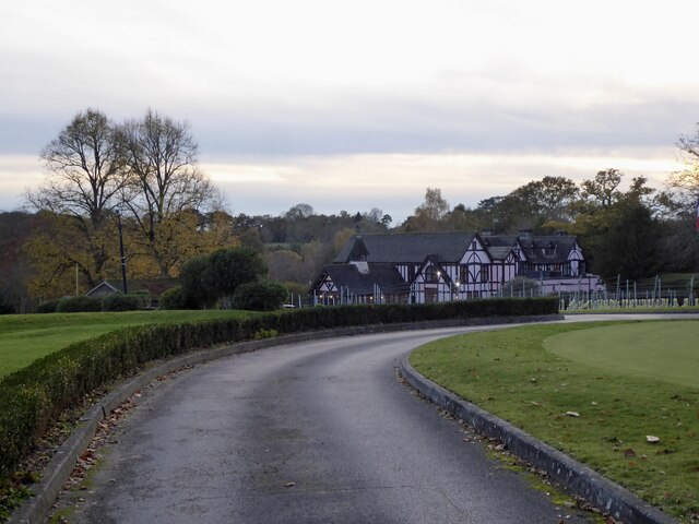
Mannings Heath Golf & Wine Estate
Mannings Heath Golf & Wine Estate is located in Mannings Heath, Horsham in the south of England. The 500 acre parkland site includes two golf courses and...
Nearby Amenities
Located within 500m of 51.06325,-0.28901591Have you been to Dry Pond?
Leave your review of Dry Pond below (or comments, questions and feedback).