Cooper's Bottom
Valley in Yorkshire Ryedale
England
Cooper's Bottom
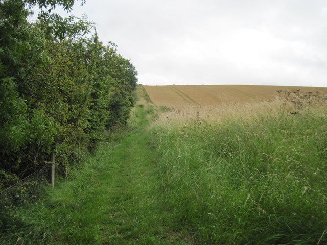
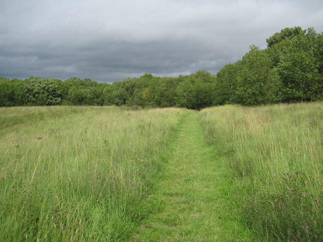
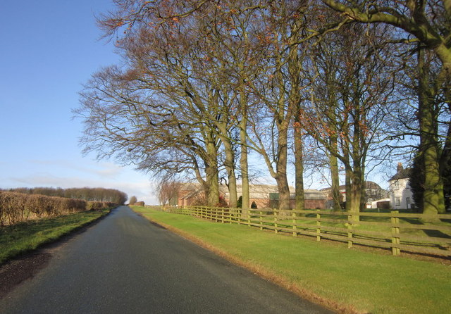
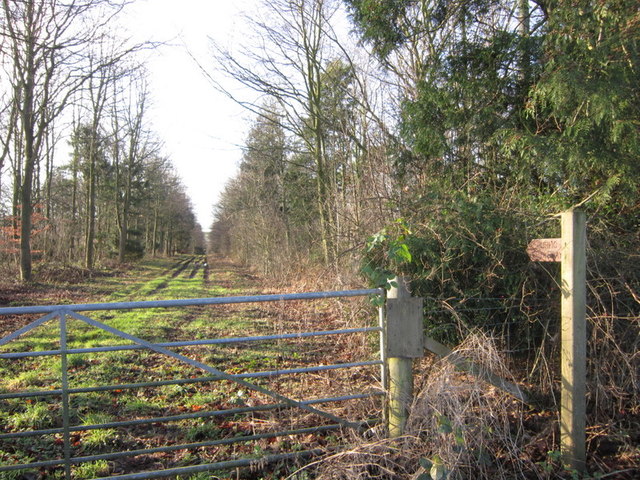
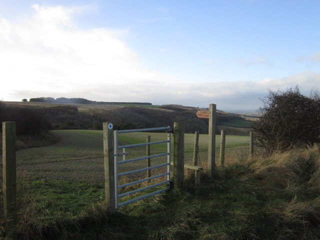
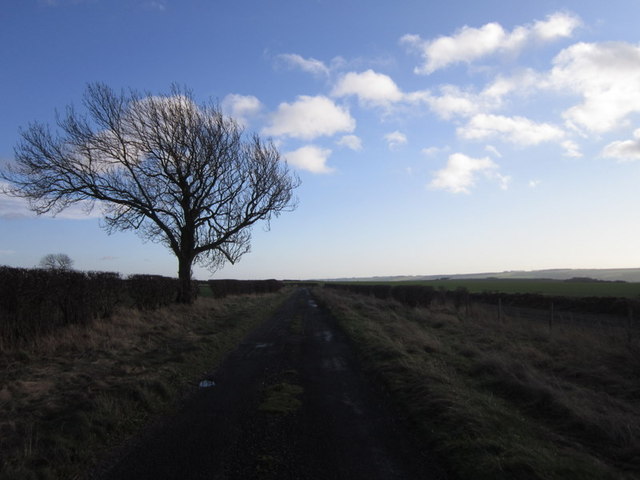
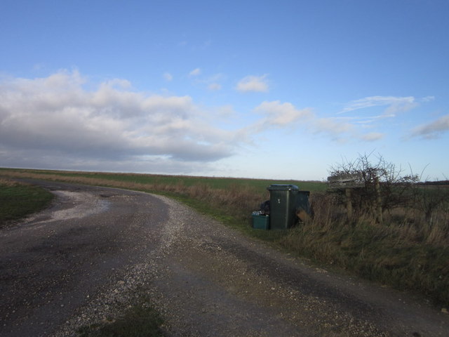
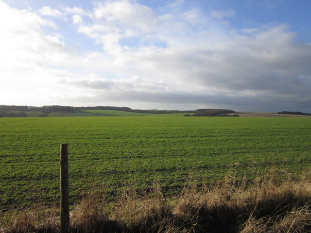
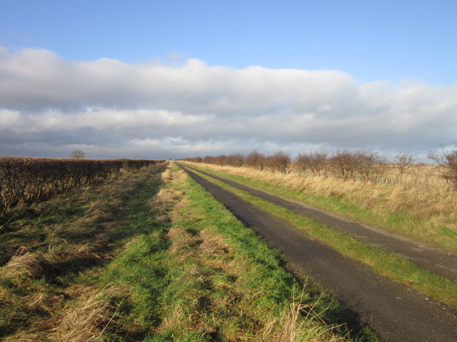
Cooper's Bottom is a picturesque valley located in Yorkshire, England. Situated in the heart of the Yorkshire Dales National Park, this idyllic location is renowned for its stunning natural beauty and rich history. The valley is nestled between rolling hills, lush meadows, and ancient woodlands, creating a haven for outdoor enthusiasts and nature lovers.
Cooper's Bottom is famous for its meandering river, which flows through the valley, adding to its charm. The crystal-clear waters provide a habitat for various species of fish and attract a wide array of birdlife, making it a popular spot for birdwatching and fishing.
The valley is also home to a diverse range of flora and fauna, with wildflowers decorating the meadows in spring and summer. The woodlands are filled with ancient oak and beech trees, creating a magical atmosphere and providing shelter for numerous wildlife species, including deer, badgers, and foxes.
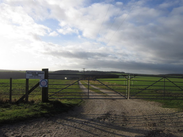
In addition to its natural beauty, Cooper's Bottom has a rich historical background. The valley is dotted with remnants of old stone buildings, a testament to its past as a farming community. Visitors can explore these historic ruins and gain insight into the area's agricultural heritage.
The peaceful and tranquil environment of Cooper's Bottom makes it a popular destination for hiking, cycling, and picnicking. There are numerous well-marked trails that wind through the valley, offering breathtaking views of the surrounding countryside.
Overall, Cooper's Bottom is a hidden gem in Yorkshire, offering a perfect blend of natural beauty and historical significance. It is a place where visitors can immerse themselves in the wonders of nature while connecting with the region's rich cultural heritage.
If you have any feedback on the listing, please let us know in the comments section below.
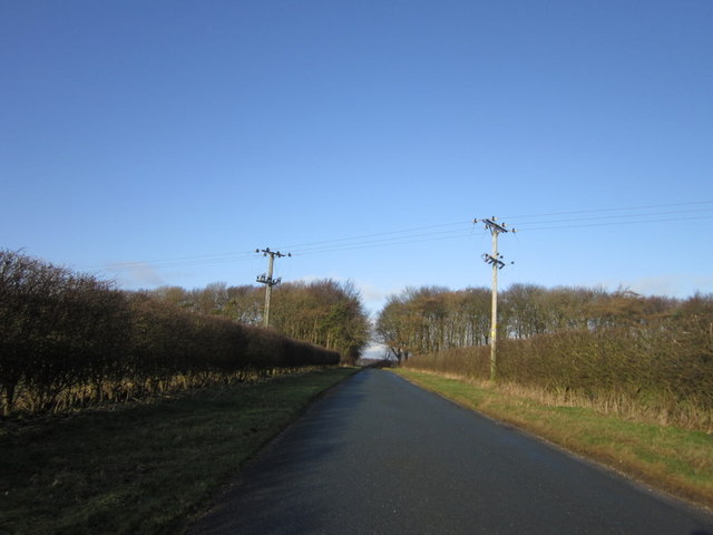
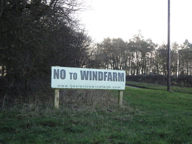
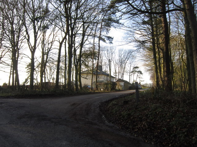
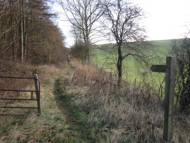
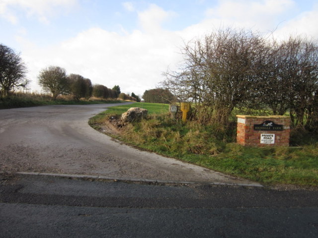
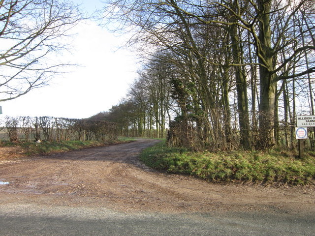
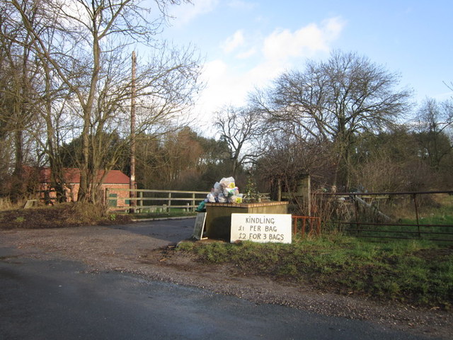
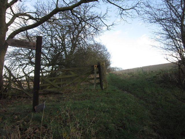
Cooper's Bottom Images
Images are sourced within 2km of 54.154906/-0.51249648 or Grid Reference SE9774. Thanks to Geograph Open Source API. All images are credited.
Cooper's Bottom is located at Grid Ref: SE9774 (Lat: 54.154906, Lng: -0.51249648)
Division: East Riding
Administrative County: North Yorkshire
District: Ryedale
Police Authority: North Yorkshire
What 3 Words
///view.conjured.closet. Near Wold Newton, East Yorkshire
Nearby Locations
Related Wikis

Potter Brompton
Potter Brompton is a small village in the English county of North Yorkshire, on the A64 road from Malton to Scarborough. The village is situated just a...

Sherburn, North Yorkshire
Sherburn is a village and civil parish in North Yorkshire, England. It is situated on the south side of the Vale of Pickering, immediately north of the...

Weaverthorpe
Weaverthorpe is a village and civil parish in North Yorkshire, England. It is 13 miles (21 km) south-west of Scarborough. == History == Bronze Age settlements...

Butterwick, Foxholes
Butterwick is a village and former civil parish, now in the parish of Foxholes (1.75 miles (2.8 km) to the east, near the village of Weaverthorpe (2 miles...

Ganton
Ganton is a village and civil parish in North Yorkshire, England. It is situated on the south side of the Vale of Pickering immediately north of the Yorkshire...

Ganton Golf Club
Ganton Golf Club is a golf club in Ganton, North Yorkshire, England. It has an 18-hole golf course that has hosted many major tournaments, including the...

2003 Walker Cup
The 2003 Walker Cup, the 39th Walker Cup Match, was played on 6 and 7 September 2003, at Ganton Golf Club in North Yorkshire, England. The event was won...
2000 Curtis Cup
The 31st Curtis Cup Match was played on 24 and 25 June 2000 at Ganton Golf Club in Ganton, North Yorkshire, England. The United States won 10 to 8. �...
Nearby Amenities
Located within 500m of 54.154906,-0.51249648Have you been to Cooper's Bottom?
Leave your review of Cooper's Bottom below (or comments, questions and feedback).