Great Bottom

Valley in Sussex Arun

England

Great Bottom

View WNW from a point west of King's Buildings I was a little south of the marked bridleway when I took this photo. It's difficult to find and follow the bridleway. An obvious track cuts across the field to the south of it - so I followed that.
View WNW from a point west of King's Buildings Credit: Ian Cunliffe

Great Bottom is a picturesque valley located in the county of Sussex, England. Situated in the South Downs National Park, it is renowned for its stunning natural beauty and tranquil atmosphere.

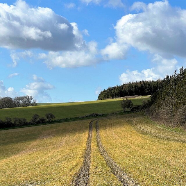
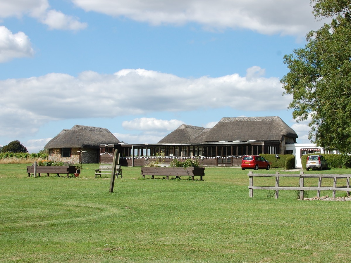
The valley is characterized by rolling hills, lush green meadows, and small streams meandering through the landscape. The area is predominantly rural, with scattered farmhouses and cottages dotting the countryside. The valley is surrounded by dense woodlands, adding to its idyllic charm.

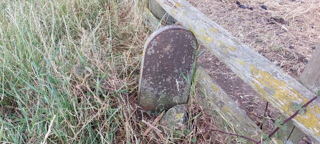
Great Bottom is a haven for wildlife enthusiasts, as it is home to a diverse range of flora and fauna. Visitors can spot various species of birds, butterflies, and wildflowers while exploring the valley. Additionally, the surrounding woodlands provide habitats for deer and other woodland creatures.

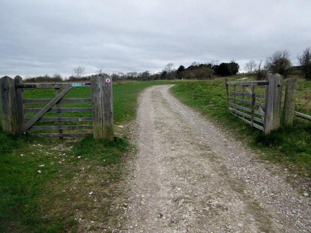
The valley offers several walking and hiking trails, allowing visitors to explore the area's natural wonders. One popular route is the South Downs Way, which passes through Great Bottom and offers breathtaking panoramic views of the valley and the surrounding countryside.

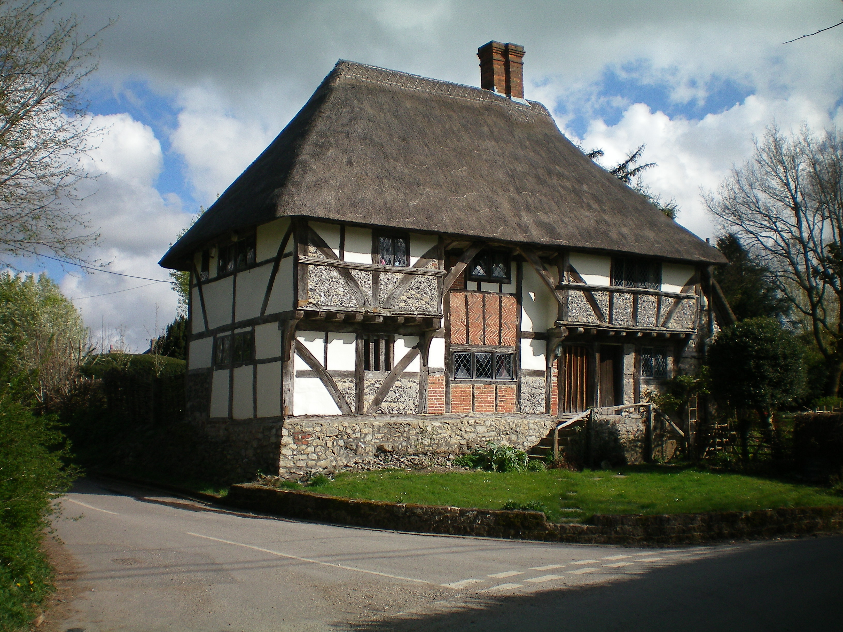
Despite its rural setting, Great Bottom is conveniently located near several amenities. The nearby village of Midhurst offers a range of shops, restaurants, and accommodations for visitors. Additionally, the historic city of Chichester is within easy reach, providing further cultural and recreational opportunities.

Overall, Great Bottom in Sussex is a hidden gem for those seeking a peaceful retreat in nature. Its stunning landscapes and abundant wildlife make it a must-visit destination for nature lovers and outdoor enthusiasts.

If you have any feedback on the listing, please let us know in the comments section below.

Great Bottom Images

Images are sourced within 2km of 50.900199/-0.61780927 or Grid Reference SU9712. Thanks to Geograph Open Source API. All images are credited.

View WNW from a point west of King's Buildings I was a little south of the marked bridleway when I took this photo. It's difficult to find and follow the bridleway. An obvious track cuts across the field to the south of it - so I followed that.
View WNW from a point west of King's Buildings
I was a little south of the marked bridleway when I took this photo. It's difficult to find and follow the bridleway. An obvious track cuts across the field to the south of it - so I followed that.
Stubble - south of Bignor Hill car park
Sheep in the shade - near the neolithic camp
Old Boundary Marker on Bignor Hill Estate Boundary Marker beside a wooden fence and the South Downs Way close to Toby's Stone monument. F (vertical line) L in raised lettering on north face. On the boundary of Bignor and Bury parishes but reported as an estate boundary marker on the Slindon Estate by the National Trust. Not shown on OS maps before 1914. 

Milestone Society National ID: SX_BIGBUR01em
Old Boundary Marker on Bignor Hill
Estate Boundary Marker beside a wooden fence and the South Downs Way close to Toby's Stone monument. F (vertical line) L in raised lettering on north face. On the boundary of Bignor and Bury parishes but reported as an estate boundary marker on the Slindon Estate by the National Trust. Not shown on OS maps before 1914. Milestone Society National ID: SX_BIGBUR01em
Track from Dale Park House Public footpath 382 to Madehurst.
Track from Dale Park House
Public footpath 382 to Madehurst.
Track to Keepers Cottage Public footpath 382.
Track to Keepers Cottage
Public footpath 382.
South Downs Way climing Bignor Hill Public bridleway 2856.
South Downs Way climing Bignor Hill
Public bridleway 2856.
Track to Gumber Corner Public bridleway 2856/1.
Track to Gumber Corner
Public bridleway 2856/1.
Track to Glatting Beacon For a short distance the South Downs Way follows public bridleway 413 which then continues on to Upwaltham Hill.
Track to Glatting Beacon
For a short distance the South Downs Way follows public bridleway 413 which then continues on to Upwaltham Hill.
Blue Skies over the Bridleway A glorious sunny day after heavy rains the day before meant that the walking was pleasant but heavy going in places.
Blue Skies over the Bridleway
A glorious sunny day after heavy rains the day before meant that the walking was pleasant but heavy going in places.
Junction of Bridleways Junction of Bridleways near Sutton Down.
Junction of Bridleways
Junction of Bridleways near Sutton Down.
Heading towards Stane Street Heading towards Stane Street on a very muddy Bridleway.
Heading towards Stane Street
Heading towards Stane Street on a very muddy Bridleway.
Fields near to Stane Street Fields near to the Roaman Road looking in the direction of Gumber Farm.
Fields near to Stane Street
Fields near to the Roaman Road looking in the direction of Gumber Farm.
Stane Street The Roman Road Stane Street continues beyond the stile. The route is part of the Monarchs Way.
Stane Street
The Roman Road Stane Street continues beyond the stile. The route is part of the Monarchs Way.
Fields near to Stane Street Fields beside a Bridleway and the adjacent Roman Road.
Fields near to Stane Street
Fields beside a Bridleway and the adjacent Roman Road.
Gumber Corner Gumber Corner in wintertime.
Gumber Corner
Gumber Corner in wintertime.
Flooded Bridleway Recent rains had flooded the Bridleway but a walkers dog was taking advantage of it.
Flooded Bridleway
Recent rains had flooded the Bridleway but a walkers dog was taking advantage of it.
Path Junction with wooded seat A convenient resting place beside a bridleway near to Bignor.
Path Junction with wooded seat
A convenient resting place beside a bridleway near to Bignor.
Show me another place!

Great Bottom is located at Grid Ref: SU9712 (Lat: 50.900199, Lng: -0.61780927)

Administrative County: West Sussex

District: Arun

Police Authority: Sussex

What 3 Words

///presume.launcher.hammer. Near Fontwell, West Sussex

Nearby Locations

Great Bottom Great Bottom

Related Wikis

Barkhale Camp

Barkhale Camp is a Neolithic causewayed enclosure, an archaeological site on Bignor Hill, on the South Downs in West Sussex, England. Causewayed enclosures...

Bignor Hill

Bignor Hill is a hill near Bignor in Sussex. The South Downs Way passes over the hill. Near the summit are the remains of a memorial to Toby Wentworth...

Dale Park

Dale Park was an English country house in Madehurst, West Sussex. == History == In 1780, Sir George Thomas, 3rd Baronet created Dale Park near Madehurst...

Duncton to Bignor Escarpment

Duncton to Bignor Escarpment is a 229-hectare (570-acre) biological Site of Special Scientific Interest west of Pulborough in West Sussex. It is a Special...

Madehurst

Madehurst is a small village and civil parish in the Arun District of West Sussex, England on the south slopes of the South Downs in the South Downs National...

Bury Hill, Arundel

Bury Hill is an area of West Sussex, England, north of Arundel and southwest of Bury. In the 18th century, its name may have sometimes been spelled Berry...

Bignor

Bignor is a village and civil parish in the Chichester district of the English county of West Sussex, about six miles (9.7 km) north of Arundel. It is...

Bignor Roman Villa

Bignor Roman Villa is a large Roman courtyard villa which has been excavated and put on public display on the Bignor estate in the English county of West...

Have you been to Great Bottom?

Leave your review of Great Bottom below (or comments, questions and feedback).