Hodgson's Belt
Wood, Forest in Yorkshire Ryedale
England
Hodgson's Belt

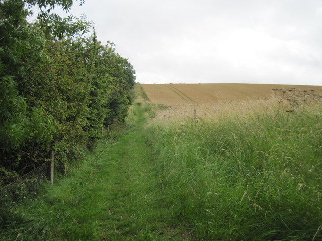
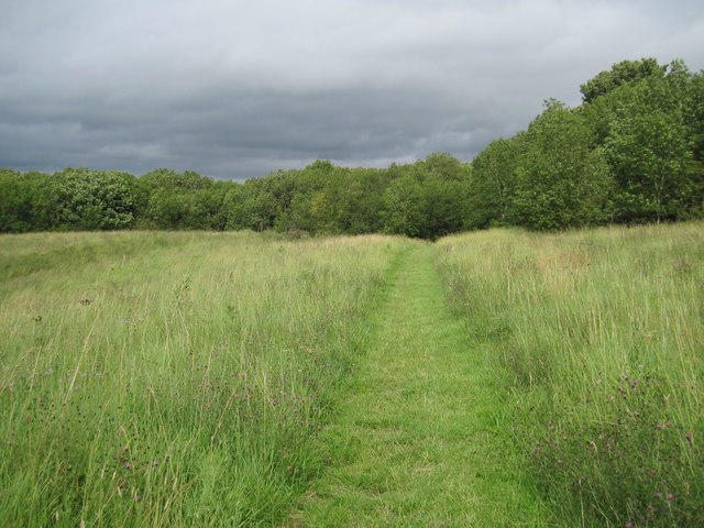
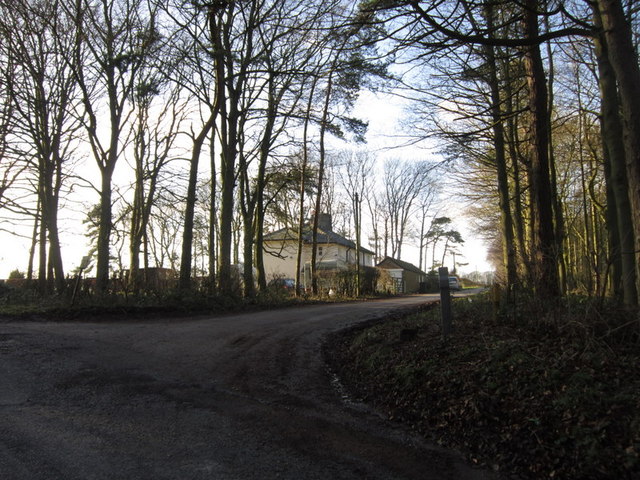
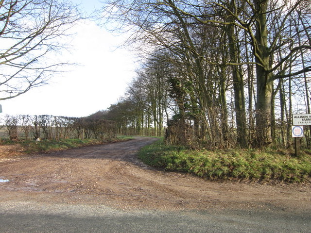
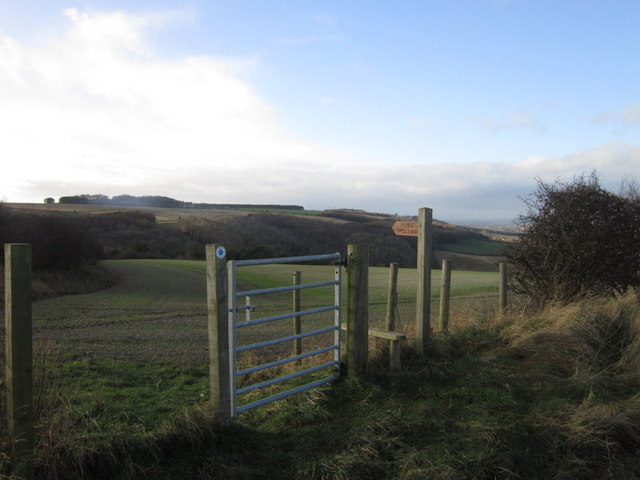
Hodgson's Belt is a picturesque woodland located in Yorkshire, England. Situated in the heart of the county, it spans over a vast area and is known for its dense forest and natural beauty. The belt is named after the Hodgson family, who owned the land for generations before it was converted into a public woodland.
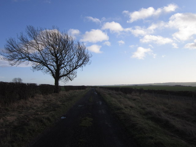
The woodland is characterized by its diverse range of tree species, including oak, beech, and birch. The lush green canopy provides a haven for numerous wildlife species, making it a popular spot for nature enthusiasts and birdwatchers. Visitors can often spot deer, squirrels, and various bird species as they explore the trails and pathways that wind through the forest.
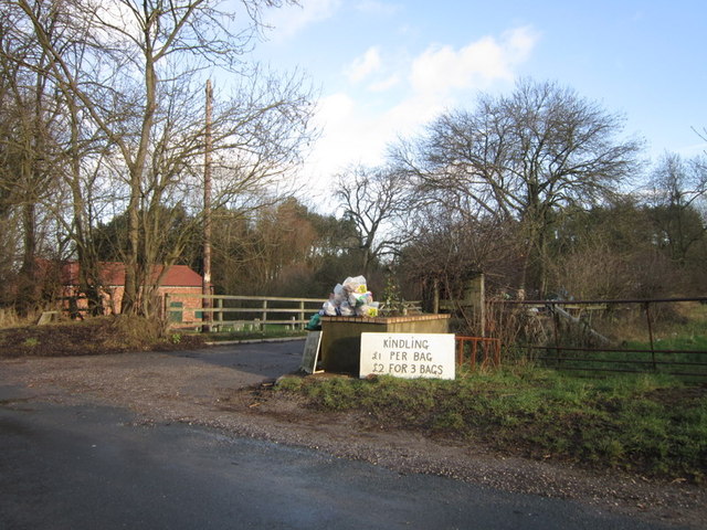
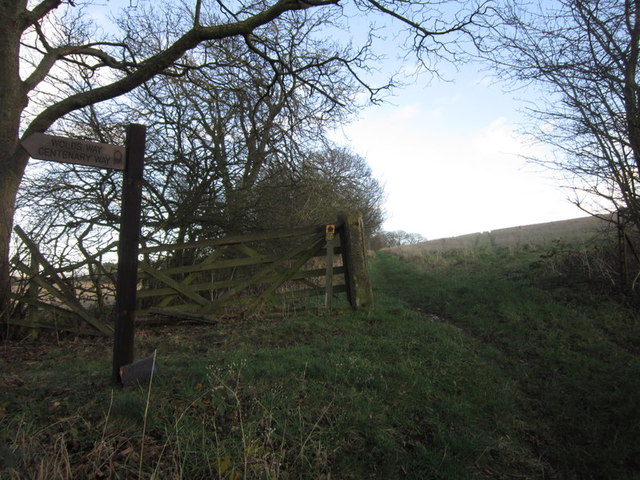
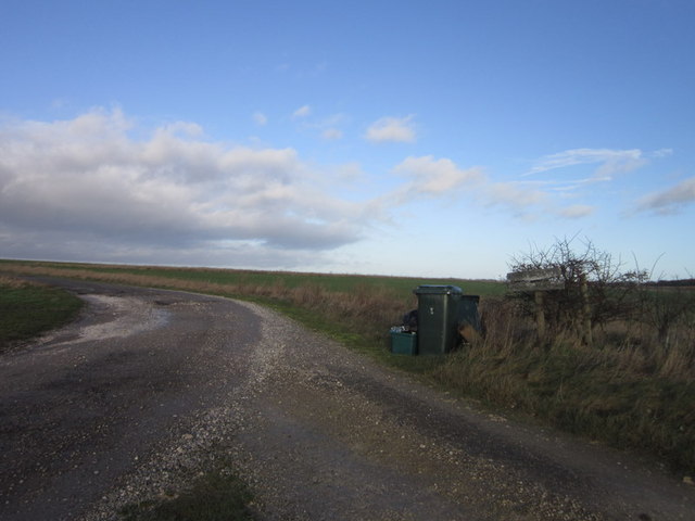
Hodgson's Belt offers a tranquil escape from the bustling city life, providing visitors with an opportunity to immerse themselves in nature. The forest is a haven for hikers and walkers, with well-maintained trails that cater to all levels of fitness and experience. It is also a great place for families, as there are designated picnic areas and open spaces for children to play.
In addition to its natural beauty, Hodgson's Belt is also home to a number of historical landmarks. Ruins of old stone buildings and remnants of ancient settlements can be found within the woodland, providing a glimpse into the area's rich history.
Overall, Hodgson's Belt is a captivating woodland that offers a perfect blend of natural splendor and historical significance. It continues to attract visitors from near and far, who are drawn to its serene atmosphere and the opportunity to connect with nature.
If you have any feedback on the listing, please let us know in the comments section below.
Hodgson's Belt Images
Images are sourced within 2km of 54.159566/-0.51435097 or Grid Reference SE9774. Thanks to Geograph Open Source API. All images are credited.


Hodgson's Belt is located at Grid Ref: SE9774 (Lat: 54.159566, Lng: -0.51435097)
Division: East Riding
Administrative County: North Yorkshire
District: Ryedale
Police Authority: North Yorkshire
What 3 Words
///dame.scrapping.secure. Near Wold Newton, East Yorkshire
Nearby Locations
Related Wikis

Potter Brompton
Potter Brompton is a small village in the English county of North Yorkshire, on the A64 road from Malton to Scarborough. The village is situated just a...

Sherburn, North Yorkshire
Sherburn is a village and civil parish in North Yorkshire, England. It is situated on the south side of the Vale of Pickering, immediately north of the...

Ganton
Ganton is a village and civil parish in North Yorkshire, England. It is situated on the south side of the Vale of Pickering immediately north of the Yorkshire...

Ganton Golf Club
Ganton Golf Club is a golf club in Ganton, North Yorkshire, England. It has an 18-hole golf course that has hosted many major tournaments, including the...

2003 Walker Cup
The 2003 Walker Cup, the 39th Walker Cup Match, was played on 6 and 7 September 2003, at Ganton Golf Club in North Yorkshire, England. The event was won...
2000 Curtis Cup
The 31st Curtis Cup Match was played on 24 and 25 June 2000 at Ganton Golf Club in Ganton, North Yorkshire, England. The United States won 10 to 8. �...
1949 Ryder Cup
The 8th Ryder Cup Matches were held 16–17 September 1949, at Ganton Golf Club in Scarborough, North Yorkshire, England. The United States team won the...

Weaverthorpe railway station
Weaverthorpe railway station was a minor railway station serving the village of Sherburn in North Yorkshire, England. Located on the York to Scarborough...
Nearby Amenities
Located within 500m of 54.159566,-0.51435097Have you been to Hodgson's Belt?
Leave your review of Hodgson's Belt below (or comments, questions and feedback).