Gunter's Wood
Wood, Forest in Surrey Waverley
England
Gunter's Wood
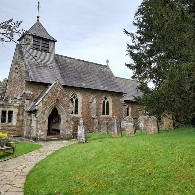
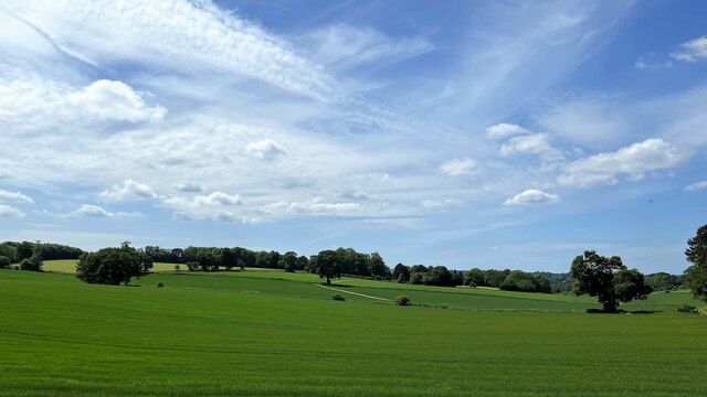
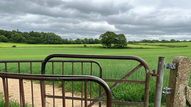
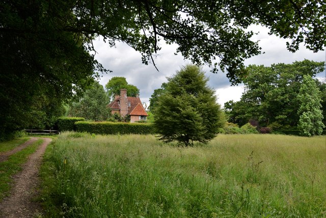
Gunter's Wood is a serene and picturesque woodland located in Surrey, England. Spanning over a vast area, this woodland is a part of the larger Surrey Hills Area of Outstanding Natural Beauty. Gunter's Wood is situated near the village of Shere, nestled in the southeastern region of the county.
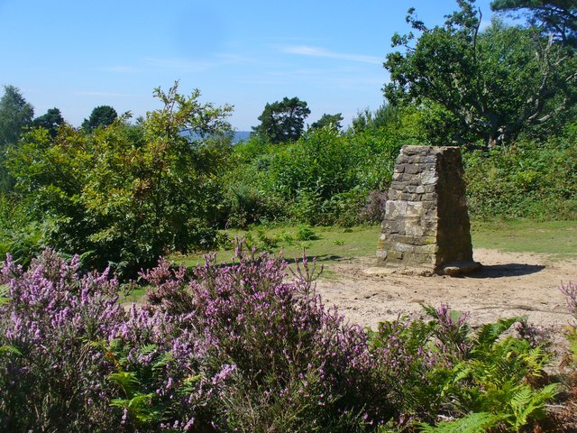
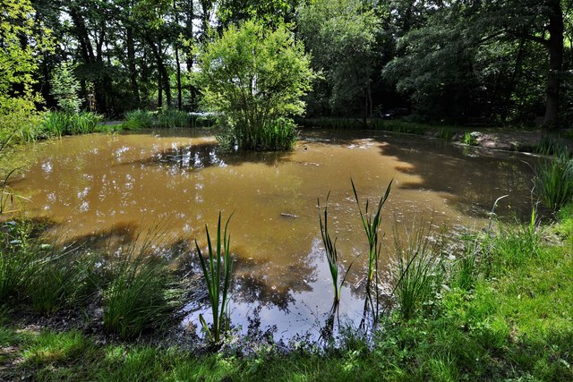
This woodland is characterized by its dense canopy of trees, predominantly consisting of oak, beech, and chestnut trees. The woodland floor is adorned with an array of vibrant wildflowers, adding to the natural beauty of the area. Gunter's Wood is also home to several species of wildlife, including deer, rabbits, foxes, and a variety of bird species.
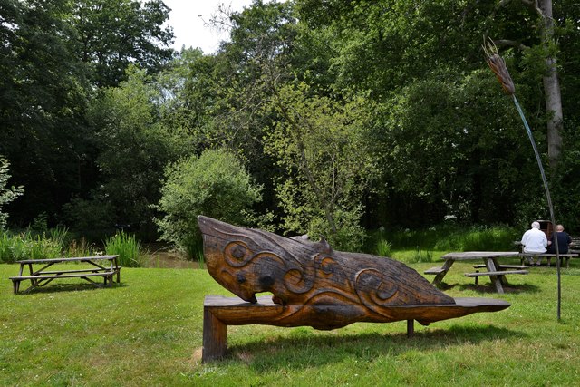
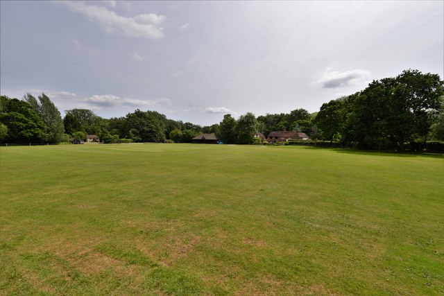
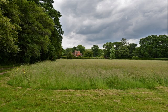
The wood offers a peaceful and tranquil environment, making it a popular destination for nature enthusiasts and hikers. Numerous walking trails wind their way through the wood, allowing visitors to explore its hidden gems and discover its natural wonders. The well-maintained paths provide access to breathtaking viewpoints, offering panoramic vistas of the surrounding countryside.
Gunter's Wood is a haven for outdoor activities, such as birdwatching, photography, and picnicking. It is also a designated site for educational purposes, with regular nature walks and guided tours organized to educate visitors about the diverse flora and fauna found within the wood.
With its unspoiled beauty and abundant wildlife, Gunter's Wood is a cherished natural gem in Surrey, attracting locals and tourists alike who seek solace in its tranquil and enchanting atmosphere.
If you have any feedback on the listing, please let us know in the comments section below.
Gunter's Wood Images
Images are sourced within 2km of 51.136944/-0.61338276 or Grid Reference SU9738. Thanks to Geograph Open Source API. All images are credited.


Gunter's Wood is located at Grid Ref: SU9738 (Lat: 51.136944, Lng: -0.61338276)
Administrative County: Surrey
District: Waverley
Police Authority: Surrey
What 3 Words
///overlaid.dragons.hurry. Near Chiddingfold, Surrey
Nearby Locations
Related Wikis

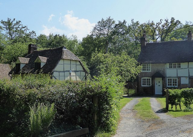
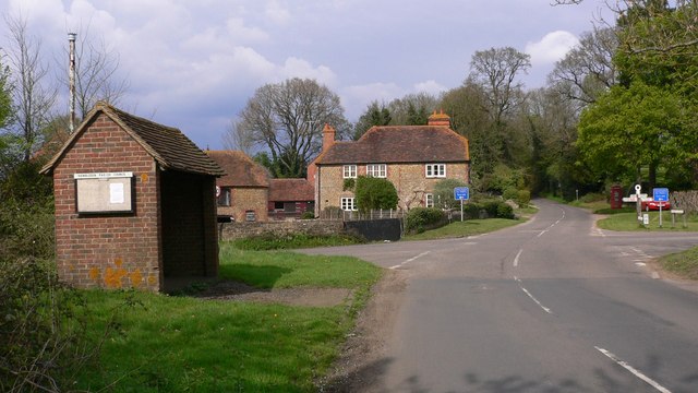
Hambledon, Surrey
Hambledon is a rural scattered village in the Waverley borough of Surrey, situated south of Guildford. It is dominated by a buffer zone of fields and woodland...

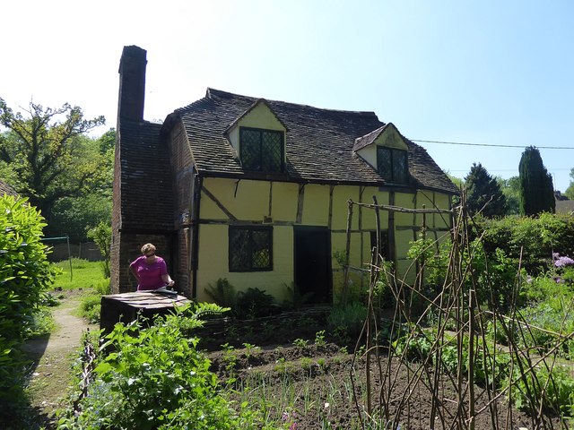
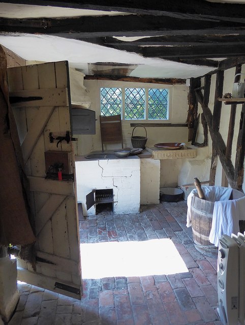
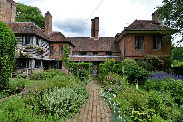
Oakhurst Cottage
Oakhurst Cottage is a tiny 16th or 17th-century cottage in Hambledon, Surrey, in the United Kingdom. It is a Grade II listed building.The cottage was given...

St Dominic's School
St. Dominic's School in Hambledon, Surrey, England is a co-educational day school, one of the oldest special schools in the United Kingdom. It specialises...

Hydon's Ball
Hydon's Ball is a 179-metre-high (587 ft) hill covering most of Hydon Heath in Hydestile, Surrey, England. == Description == The hill on Hydon Heath, Hydestile...

Tigbourne Court
Tigbourne Court is an Arts and Crafts style country house in Wormley, Surrey, England, 1 mile (1.6 km) south of Witley. It was designed by architect Edwin...
Hydestile
Hydestile is a hamlet in Waverley, south-west Surrey. It is around 2+1⁄2 miles (4.0 km) south of Godalming between the villages of Busbridge and Hambledon...

King Edward's School, Witley
King Edward's Witley is a private co-educational boarding and day school, founded in 1553 by King Edward VI and Nicholas Ridley, Bishop of London and Westminster...

Wormley, Surrey
Wormley is a village in Surrey, England in the parish of Witley, around Witley station, off the A283 Petworth Road about 5 km (3.1 mi) SSW of Godalming...
Nearby Amenities
Located within 500m of 51.136944,-0.61338276Have you been to Gunter's Wood?
Leave your review of Gunter's Wood below (or comments, questions and feedback).