Ashlands Copse
Wood, Forest in Surrey Waverley
England
Ashlands Copse
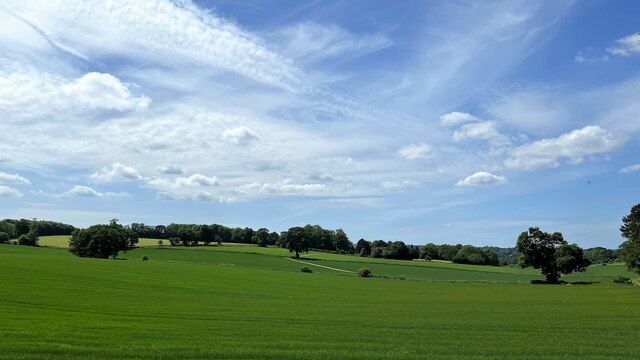
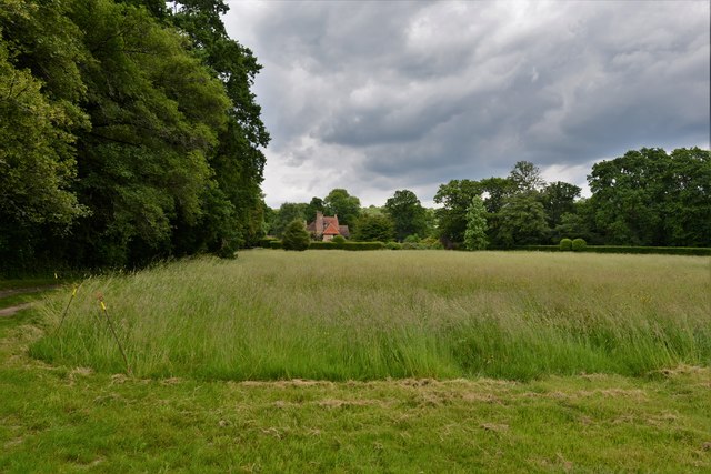
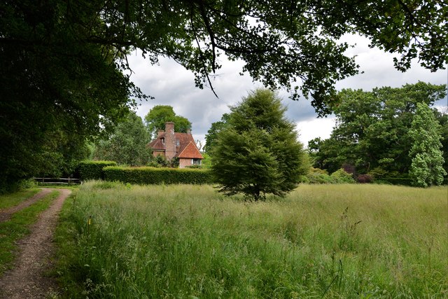
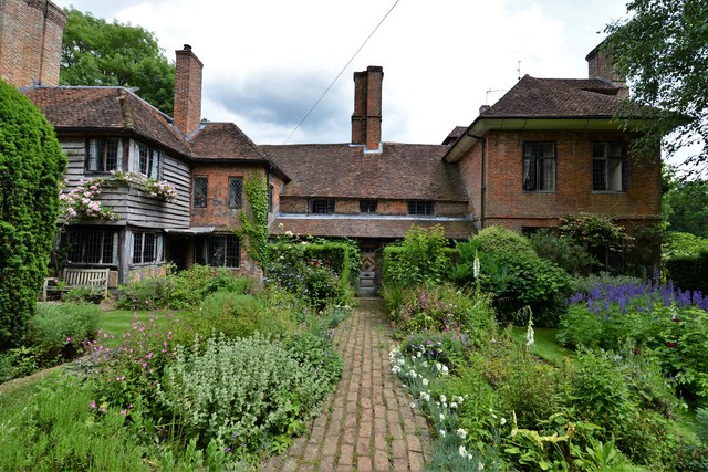
Ashlands Copse is a charming woodland located in Surrey, England. Spread across an area of approximately 50 acres, it offers visitors a peaceful and tranquil escape from the hustle and bustle of daily life. Situated near the town of Dorking, Ashlands Copse is easily accessible and attracts nature enthusiasts, hikers, and families alike.
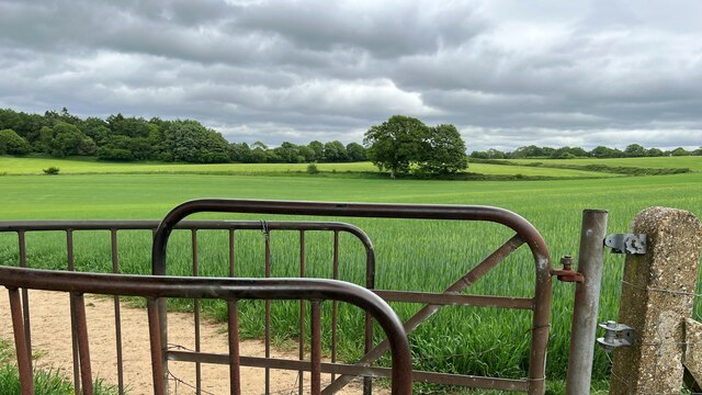
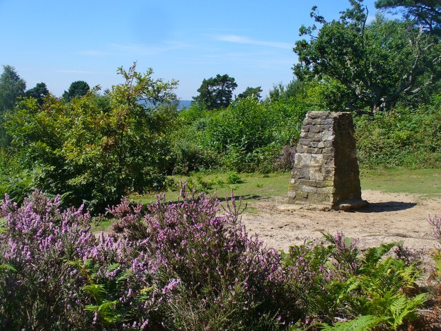
The copse is primarily composed of a mixture of deciduous and coniferous trees, including oak, beech, and pine. The dense canopy created by these trees provides a cool and shady atmosphere, even during the hot summer months. This makes Ashlands Copse a popular spot for picnics and leisurely walks.
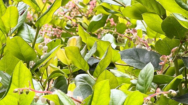
The forest floor is adorned with a rich variety of flora, including bluebells, wood anemones, and wild garlic, which add bursts of color and fragrance to the landscape. The copse is also home to a diverse range of wildlife, including deer, rabbits, and various bird species such as woodpeckers and owls.
Several well-marked trails wind their way through Ashlands Copse, offering visitors the opportunity to explore and discover its hidden gems. These paths are suitable for both casual strolls and more challenging hikes, providing options for all levels of fitness and abilities.
Overall, Ashlands Copse is a peaceful haven of nature, offering a serene environment to relax and connect with the beauty of the Surrey countryside. Whether you are seeking solitude or a fun family outing, this woodland oasis is sure to leave a lasting impression.
If you have any feedback on the listing, please let us know in the comments section below.
Ashlands Copse Images
Images are sourced within 2km of 51.138243/-0.60762619 or Grid Reference SU9738. Thanks to Geograph Open Source API. All images are credited.


Ashlands Copse is located at Grid Ref: SU9738 (Lat: 51.138243, Lng: -0.60762619)
Administrative County: Surrey
District: Waverley
Police Authority: Surrey
What 3 Words
///gilding.tune.concluded. Near Chiddingfold, Surrey
Nearby Locations
Related Wikis

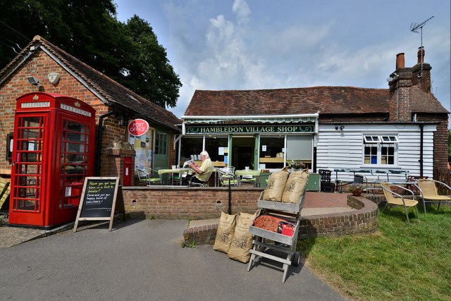
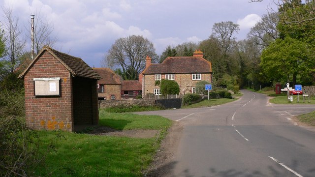
Hambledon, Surrey
Hambledon is a rural scattered village in the Waverley borough of Surrey, situated south of Guildford. It is dominated by a buffer zone of fields and woodland...

Hydon's Ball
Hydon's Ball is a 179-metre-high (587 ft) hill covering most of Hydon Heath in Hydestile, Surrey, England. == Description == The hill on Hydon Heath, Hydestile...

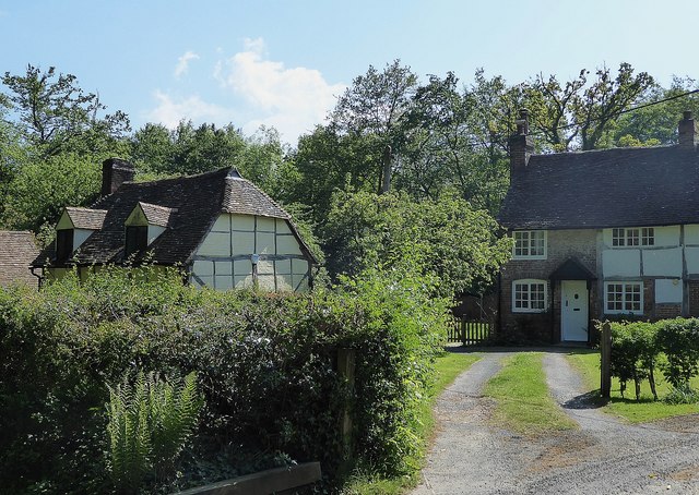
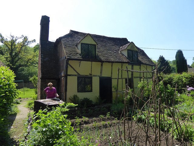
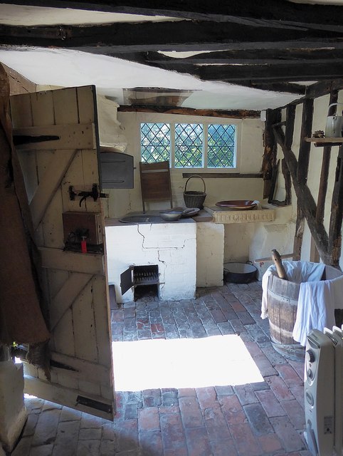
Oakhurst Cottage
Oakhurst Cottage is a tiny 16th or 17th-century cottage in Hambledon, Surrey, in the United Kingdom. It is a Grade II listed building.The cottage was given...

St Dominic's School
St. Dominic's School in Hambledon, Surrey, England is a co-educational day school, one of the oldest special schools in the United Kingdom. It specialises...

Tigbourne Court
Tigbourne Court is an Arts and Crafts style country house in Wormley, Surrey, England, 1 mile (1.6 km) south of Witley. It was designed by architect Edwin...
Hydestile
Hydestile is a hamlet in Waverley, south-west Surrey. It is around 2+1⁄2 miles (4.0 km) south of Godalming between the villages of Busbridge and Hambledon...

Hascombe Court
Hascombe Court is a 172-acre (70 ha) estate in Hascombe, Surrey, best known for its vast garden designed by Gertrude Jekyll. Hascombe Court is listed Grade...

King Edward's School, Witley
King Edward's Witley is a private co-educational boarding and day school, founded in 1553 by King Edward VI and Nicholas Ridley, Bishop of London and Westminster...
Nearby Amenities
Located within 500m of 51.138243,-0.60762619Have you been to Ashlands Copse?
Leave your review of Ashlands Copse below (or comments, questions and feedback).