Hanging Coombe

Valley in Buckinghamshire

England

Hanging Coombe

Bluebells in Dockey Wood There's always a good show here in spring - so much so that the National Trust has to limit access to the woods.
Bluebells in Dockey Wood Credit: Bob Walters

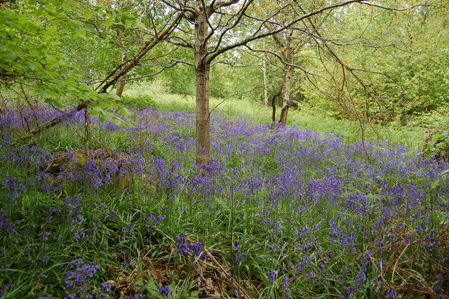
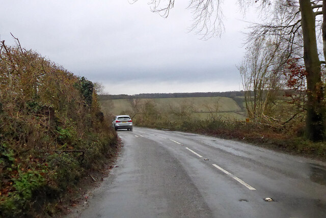
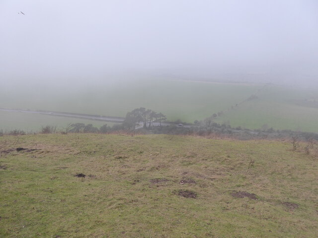
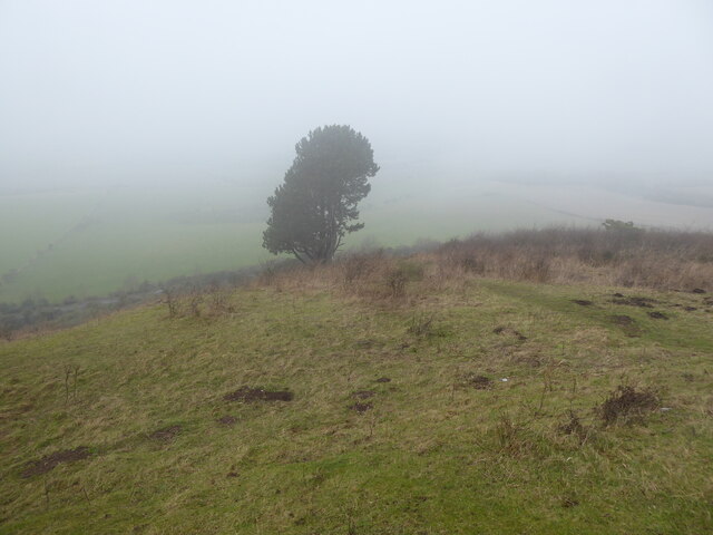
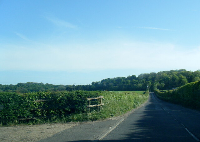
Hanging Coombe is a picturesque valley located in the county of Buckinghamshire, England. Nestled in the Chiltern Hills, this stunning natural wonder is known for its breathtaking beauty and tranquil atmosphere.

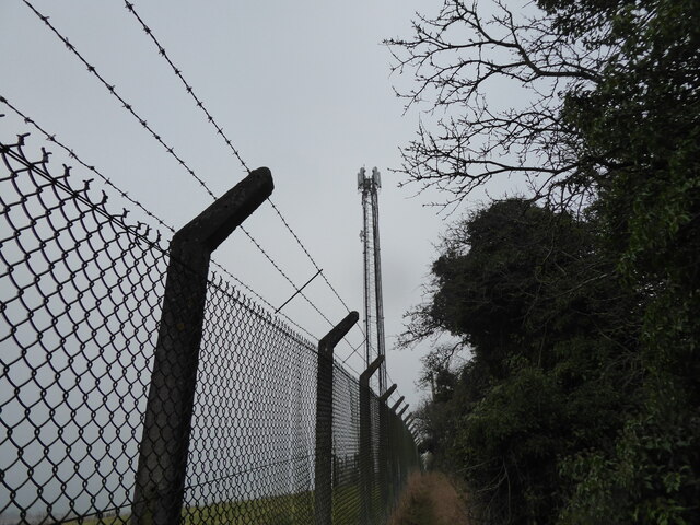
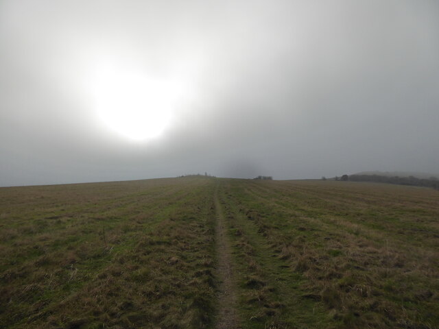
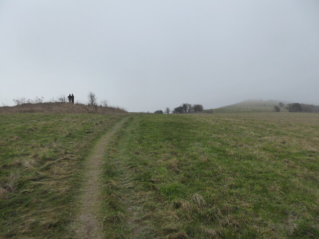
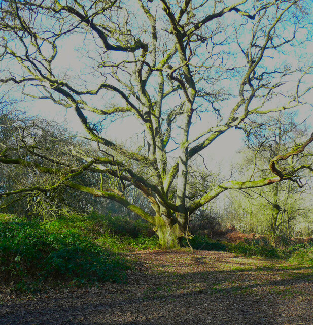
The valley is characterized by its steep and rolling terrain, with lush green meadows and dense woodlands that stretch for miles. It is a haven for nature lovers and outdoor enthusiasts, offering a plethora of opportunities for hiking, walking, and wildlife spotting. The area is home to a diverse range of flora and fauna, including rare species such as the purple emperor butterfly and the red kite.

The valley also boasts a rich history, with evidence of human habitation dating back to the Neolithic period. Archaeological finds, such as flint tools and burial mounds, have been discovered in the area, providing valuable insights into the region's past.

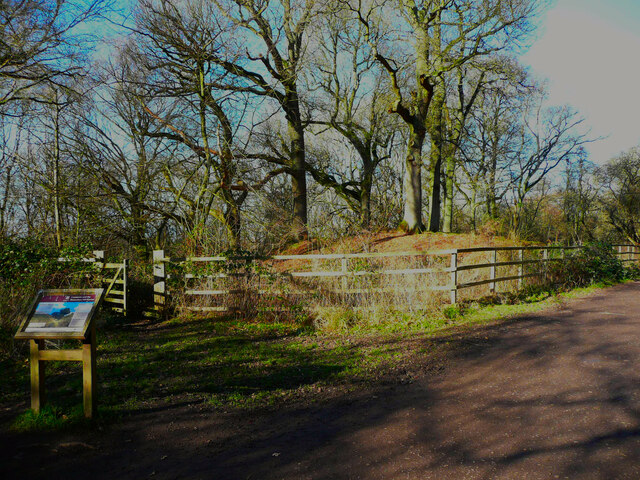
Hanging Coombe is a popular destination for visitors seeking a peaceful retreat from the hustle and bustle of city life. Its idyllic setting and unspoiled natural beauty make it a haven for relaxation and reflection. The valley is dotted with charming villages and traditional pubs, offering visitors a taste of authentic British countryside life.

Overall, Hanging Coombe is a hidden gem in Buckinghamshire, offering visitors a chance to immerse themselves in the beauty of nature and experience the rich history of the area. Whether you are an avid hiker, a nature enthusiast, or simply seeking a peaceful escape, Hanging Coombe is a must-visit destination that will leave a lasting impression.

If you have any feedback on the listing, please let us know in the comments section below.

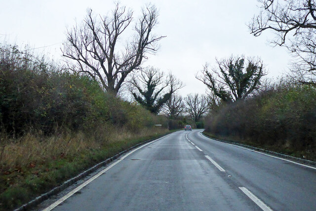
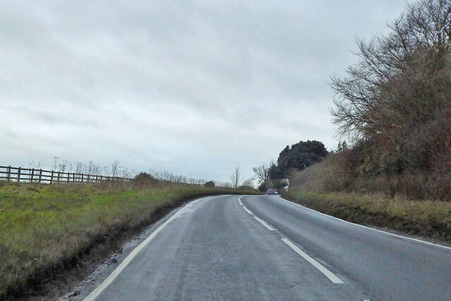
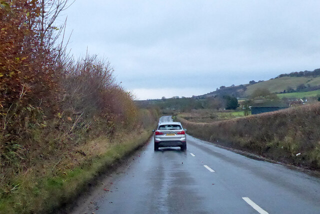
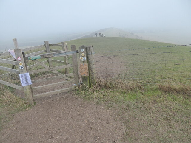
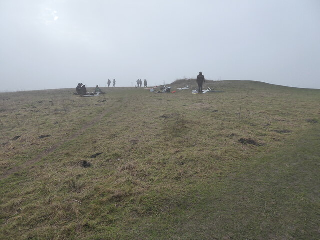
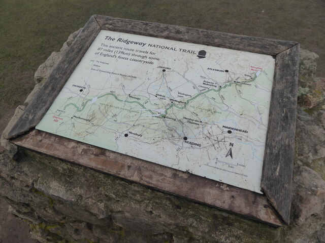
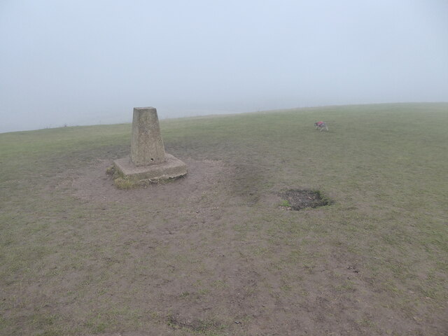
Hanging Coombe Images

Images are sourced within 2km of 51.829816/-0.59035141 or Grid Reference SP9715. Thanks to Geograph Open Source API. All images are credited.

Bluebells in Dockey Wood There's always a good show here in spring - so much so that the National Trust has to limit access to the woods.
Bluebells in Dockey Wood
There's always a good show here in spring - so much so that the National Trust has to limit access to the woods.
B440 Main Road North Towards Edlesborough and Leighton Buzzard.
B440 Main Road North
Towards Edlesborough and Leighton Buzzard.
B440 Main Road North Towards Edlesborough and Leighton Buzzard.
B440 Main Road North
Towards Edlesborough and Leighton Buzzard.
B4506 Ringshall Road Towards Dunstable.
B4506 Ringshall Road
Towards Dunstable.
B4506 Ringshall Road Towards Dunstable.
B4506 Ringshall Road
Towards Dunstable.
The phone mast below Gallows Hill near Ivinghoe Beacon Not the prettiest - and how did it get located here, near such a prominent, historic site?
The phone mast below Gallows Hill near Ivinghoe Beacon
Not the prettiest - and how did it get located here, near such a prominent, historic site?
Approaching the barrow on Gallows Hill in mist Low cloud or mist cloaks the upland here. Suitable conditions for approaching such a site. 

The two human figures offer scale.
Approaching the barrow on Gallows Hill in mist
Low cloud or mist cloaks the upland here. Suitable conditions for approaching such a site. The two human figures offer scale.
Bowl barrow on Gallows Hill, below Ivinghoe Beacon The two human figures offer scale. 

The barrow is a bowl barrow apparently, Bronze Age, and is possibly one of a tight group of four supposedly identified from aerial photos, with this one surviving above ground. No other evidence of the three ploughed out barrow survives. Though who knows? 

I love a mystery. 

A very atmospheric spot.
Bowl barrow on Gallows Hill, below Ivinghoe Beacon
The two human figures offer scale. The barrow is a bowl barrow apparently, Bronze Age, and is possibly one of a tight group of four supposedly identified from aerial photos, with this one surviving above ground. No other evidence of the three ploughed out barrow survives. Though who knows? I love a mystery. A very atmospheric spot.
Footpath between Gallows Hill and Ivinghoe Beacon Great walking in these conditions.
Footpath between Gallows Hill and Ivinghoe Beacon
Great walking in these conditions.
Model plane pilots gather on Ivinghoe Beacon in low cloud Great to see these flyers up here today. It is too long since I have seen and enjoyed planes like this flying. Several lie here on the ground either after or prior to flying, and in the distance I detect some in flight. 

What a great hobby, passion or interest to have.
Model plane pilots gather on Ivinghoe Beacon in low cloud
Great to see these flyers up here today. It is too long since I have seen and enjoyed planes like this flying. Several lie here on the ground either after or prior to flying, and in the distance I detect some in flight. What a great hobby, passion or interest to have.
Info board on the Ridgeway National Trail atop Ivinghoe Beacon One day I will walk this whole trail. From Avebury to here or vice versa, I can't decide yet. It is 87 miles (139 km). Should take a week? Bet it will be cracking.
Info board on the Ridgeway National Trail atop Ivinghoe Beacon
One day I will walk this whole trail. From Avebury to here or vice versa, I can't decide yet. It is 87 miles (139 km). Should take a week? Bet it will be cracking.
The trig point on Ivinghoe Beacon I hope the mist lifts.
The trig point on Ivinghoe Beacon
I hope the mist lifts.
View off Ivinghoe Beacon in low cloud The land below is visible nearby but vanishes into the mist at a range of a few  hundred yards. 

A model plane silently scoots overhead, top left. One of two currently in flight, performing stall turns and loops overhead, closely watched by their respective radio-control pilots and a small crowd of spectators.

There were a few near-misses and narrowly averted mid-air collisions, which drew gasps, murmurs and laughter from both the pilots and the onlookers. But the skill and experience of the flyers averted an actual collision. 

It looks like the model planes are built to withstand a few such incidents, with replaceable parts, components and structures.
View off Ivinghoe Beacon in low cloud
The land below is visible nearby but vanishes into the mist at a range of a few hundred yards. A model plane silently scoots overhead, top left. One of two currently in flight, performing stall turns and loops overhead, closely watched by their respective radio-control pilots and a small crowd of spectators. There were a few near-misses and narrowly averted mid-air collisions, which drew gasps, murmurs and laughter from both the pilots and the onlookers. But the skill and experience of the flyers averted an actual collision. It looks like the model planes are built to withstand a few such incidents, with replaceable parts, components and structures.
Fir tree on Ivinghoe Beacon hillside A prominent evergreen tree that looks as if it may well have been planted here, rather than seeded. Who knows? It prospers, even on such a steep and unstable slope. Typical pine or fir.
Fir tree on Ivinghoe Beacon hillside
A prominent evergreen tree that looks as if it may well have been planted here, rather than seeded. Who knows? It prospers, even on such a steep and unstable slope. Typical pine or fir.
Tree on Moneybury Hill, Ashridge Estate This tree has a massive branch coming out sideways and then turning upwards. The weight of the branch produces a huge shear force on the bend.
Tree on Moneybury Hill, Ashridge Estate
This tree has a massive branch coming out sideways and then turning upwards. The weight of the branch produces a huge shear force on the bend.
Tumulus on Moneybury Hill This is thought to be a 4000 year-old Bronze-Age round barrow. It has been fenced off to allow plants to grow and reduce erosion due to the pounding of many feet.
Tumulus on Moneybury Hill
This is thought to be a 4000 year-old Bronze-Age round barrow. It has been fenced off to allow plants to grow and reduce erosion due to the pounding of many feet.
B4506 Ringshall Road near Applewood Cottage
Lodge on Nettleden Road, Ringshall Here it is in 2011 <a title="https://www.geograph.org.uk/photo/2416504" href="https://www.geograph.org.uk/photo/2416504">Link</a>
Lodge on Nettleden Road, Ringshall
Here it is in 2011 Link
Show me another place!

Hanging Coombe is located at Grid Ref: SP9715 (Lat: 51.829816, Lng: -0.59035141)

Unitary Authority: Buckinghamshire

Police Authority: Thames Valley

What 3 Words

///iceberg.incur.mixes. Near Ivinghoe, Buckinghamshire

Related Wikis

Ivinghoe Hills

Ivinghoe Hills is a 210.4 hectares (520 acres) Site of Special Scientific Interest in Ivinghoe in Buckinghamshire, and part of the Chilterns Area of Outstanding...

Ivinghoe Beacon

Ivinghoe Beacon is a prominent hill and landmark in Buckinghamshire, England, 233 m (757 ft) above sea level in the Chiltern Hills, close to Ivinghoe and...

Ashridge Commons and Woods

Ashridge Commons and Woods is a 640.1 hectare biological Site of Special Scientific Interest in Buckinghamshire and Hertfordshire. It is located in Little...

Ringshall, Berkhamsted

Ringshall is a hamlet in the Chiltern Hills of England. It is located on the border of the counties of Buckinghamshire and Hertfordshire; parts of the...

Dagnall

Dagnall is a village in the parish of Edlesborough, in Buckinghamshire, England. The place name is derived from the Old English for "Daegga's Knoll". In...

Barley End

Barley End is a hamlet within the parish of Pitstone(where the 2011 Census population was included) in Buckinghamshire, England.

Stocks House

Stocks Manor House is a large Georgian mansion, built in 1773. It is the largest property in the village of Aldbury, Hertfordshire. Stocks House and its...

Pitstone Hill

Pitstone Hill is a 22.9-hectare (57-acre) biological Site of Special Scientific Importance east of Pitstone in Buckinghamshire. It is in the Chilterns...

Nearby Amenities

Located within 500m of 51.829816,-0.59035141
Ward's Coombe
FIXME: ?location?
Created By: Potlatch 0.8a
Place: locality
Source: npe
Lat/Long: 51.8329983/-0.5866603
Place: isolated_dwelling
Lat/Long: 51.8339781/-0.5907129
Barrier: kissing_gate
Foot: designated
Lat/Long: 51.8284151/-0.5858952
Barrier: kissing_gate
Foot: designated
Lat/Long: 51.8275623/-0.5882153
Barrier: kissing_gate
Foot: designated
Lat/Long: 51.8278771/-0.5887654
Power: pole
Lat/Long: 51.8291224/-0.5851782
Power: pole
Transformer: distribution
Lat/Long: 51.827836/-0.5885884
Material: wood
Power: pole
Lat/Long: 51.8287019/-0.5862972
Material: wood
Power: pole
Lat/Long: 51.8267893/-0.591125
Material: wood
Power: pole
Lat/Long: 51.8273156/-0.5898647
Power: pole
Lat/Long: 51.8263249/-0.5923316
Material: wood
Power: pole
Lat/Long: 51.8282878/-0.5874191
Barrier: kissing_gate
Lat/Long: 51.8266/-0.5867096
Barrier: kissing_gate
Lat/Long: 51.8271504/-0.5875922
Street Lamp
Height: 6
Line Attachment: suspension
Material: wood
Power: pole
Lat/Long: 51.8271193/-0.5883788
Street Lamp
Height: 6
Line Attachment: suspension
Material: wood
Power: pole
Lat/Long: 51.8274319/-0.588478
Power: pole
Source: bing
Lat/Long: 51.829571/-0.5839529
The data included in this document is from www.openstreetmap.org. The data is made available under ODbL.

Have you been to Hanging Coombe?

Leave your review of Hanging Coombe below (or comments, questions and feedback).