The Dingle
Valley in Rutland
England
The Dingle
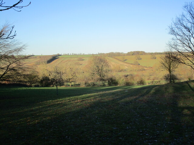
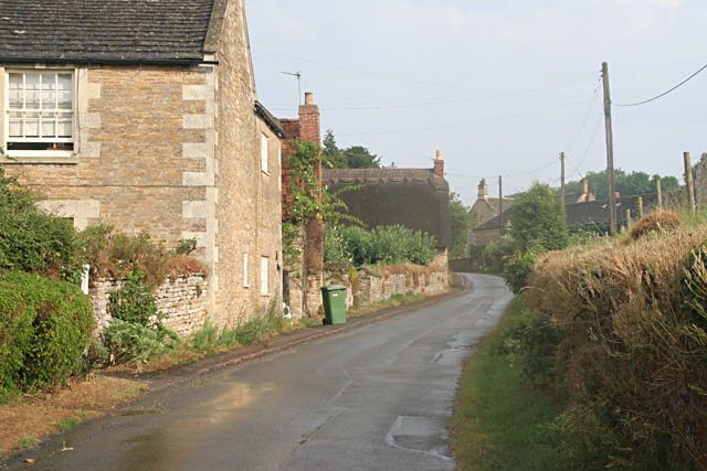
The Dingle, also known as Rutland Valley, is a picturesque and idyllic location situated in the county of Rutland, England. Nestled within the charming village of Rutland, this hidden gem is surrounded by rolling hills and lush green meadows, offering visitors a tranquil and serene escape from the hustle and bustle of everyday life.
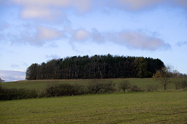
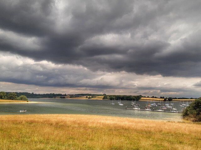
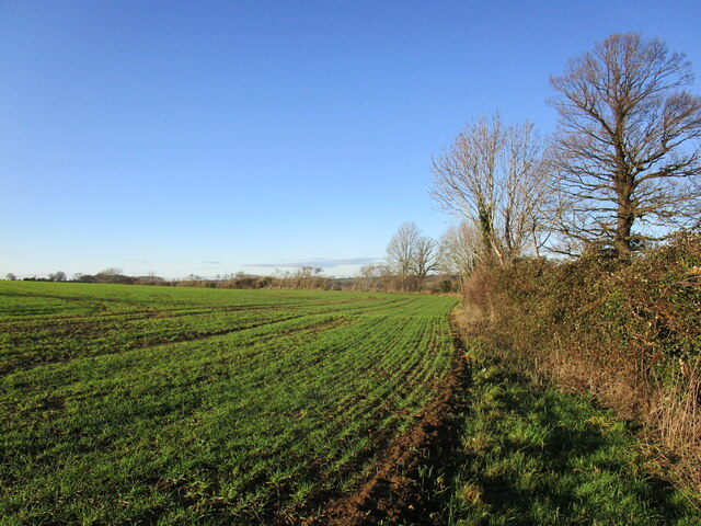
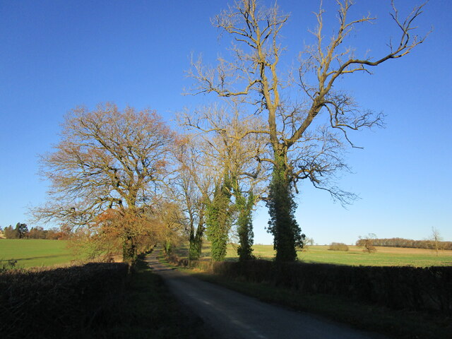
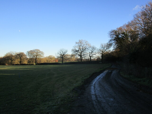
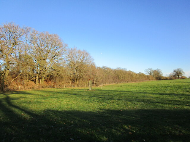
The Dingle is characterized by its stunning natural beauty, with a meandering river running through the valley, creating a peaceful and soothing ambiance. The river is flanked by an array of vibrant wildflowers and ancient woodland, providing a haven for a diverse range of flora and fauna.
The valley is a popular destination for nature lovers and outdoor enthusiasts, offering a myriad of activities to enjoy. Hiking trails crisscross the landscape, allowing visitors to explore the valley's hidden treasures and take in breathtaking panoramic views. The Dingle is also a haven for birdwatching, with a wide variety of bird species making their home in the area.
For those seeking a more leisurely experience, the Dingle offers picturesque picnic spots along the riverbank, where visitors can relax and enjoy a peaceful meal amidst the beauty of nature. The valley is also home to a charming tearoom, serving delicious homemade treats and refreshments.
Overall, The Dingle, Rutland (Valley) is a true haven of natural beauty, offering visitors a chance to unwind, reconnect with nature, and experience the tranquility of rural England.
If you have any feedback on the listing, please let us know in the comments section below.
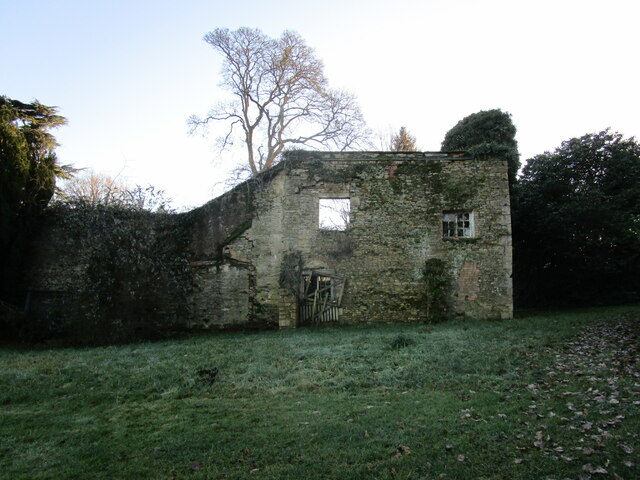
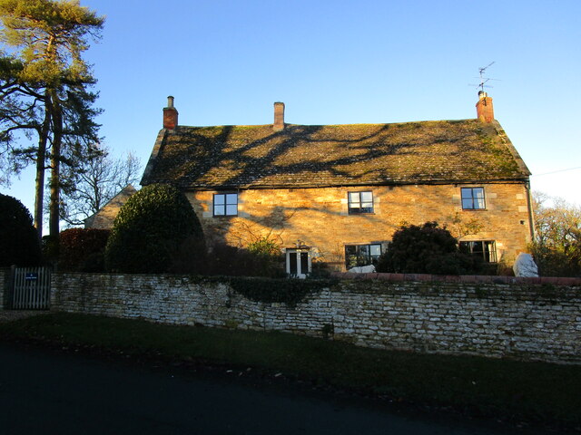
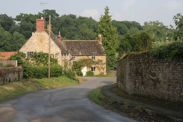
The Dingle Images
Images are sourced within 2km of 52.628833/-0.66432592 or Grid Reference SK9004. Thanks to Geograph Open Source API. All images are credited.
The Dingle is located at Grid Ref: SK9004 (Lat: 52.628833, Lng: -0.66432592)
Unitary Authority: Rutland
Police Authority: Leicestershire
What 3 Words
///dreading.broadens.chase. Near Wing, Rutland
Nearby Locations
Related Wikis

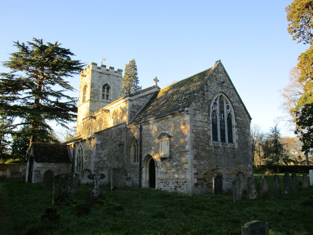
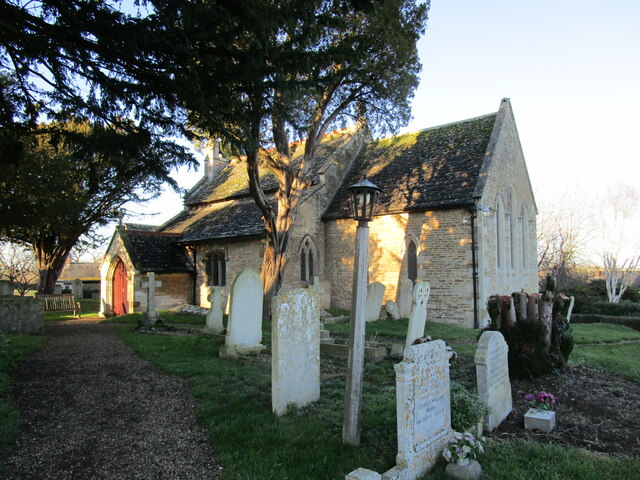
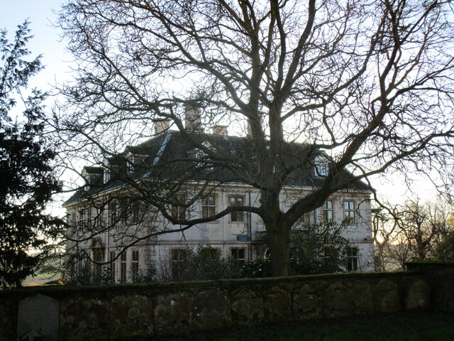
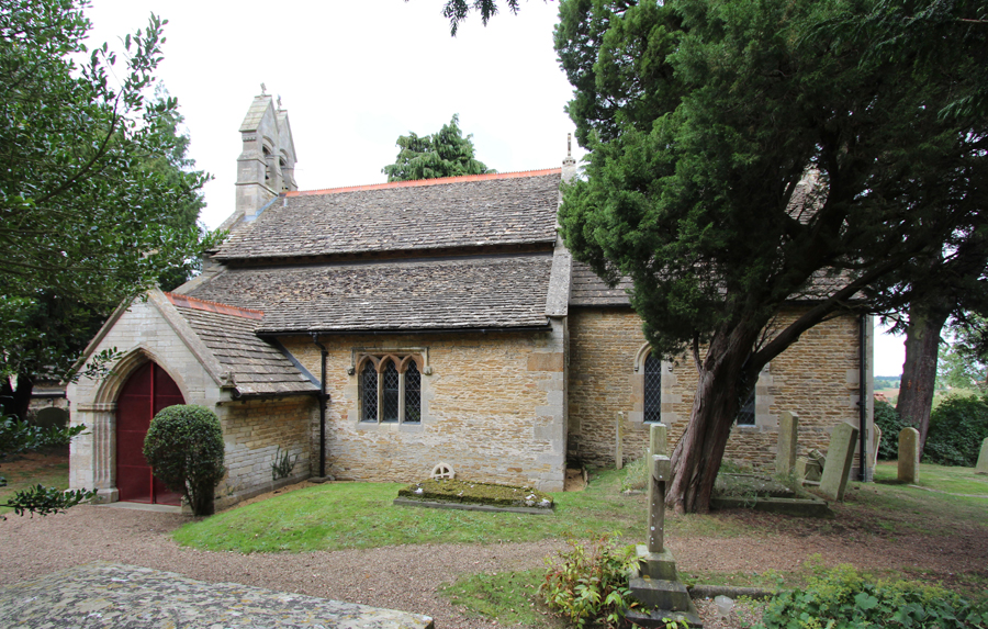
St Martin's Church, Lyndon
St Martin's Church is a church in Lyndon, Rutland. It is a Grade II* listed building. == History == Most of the church is 13th and 14th century. The tower...
Lyndon, Rutland
Lyndon is a small village in the county of Rutland in the East Midlands of England. The population of the civil parish was 80 at the 2001 census (including...

Wing, Rutland
Wing is a village and civil parish in the East Midlands county of Rutland, England. The population was 315 at the 2001 census and 314 at that of 2011....
St Nicholas' Church, Pilton
St Nicholas' Church is the Church of England parish church in Pilton, Rutland. It is a Grade II* listed building. == History == The church consists of...
Pilton, Rutland
Pilton is a small village and civil parish in the county of Rutland in the East Midlands of England. The population of the village was 39 at the 2001 census...
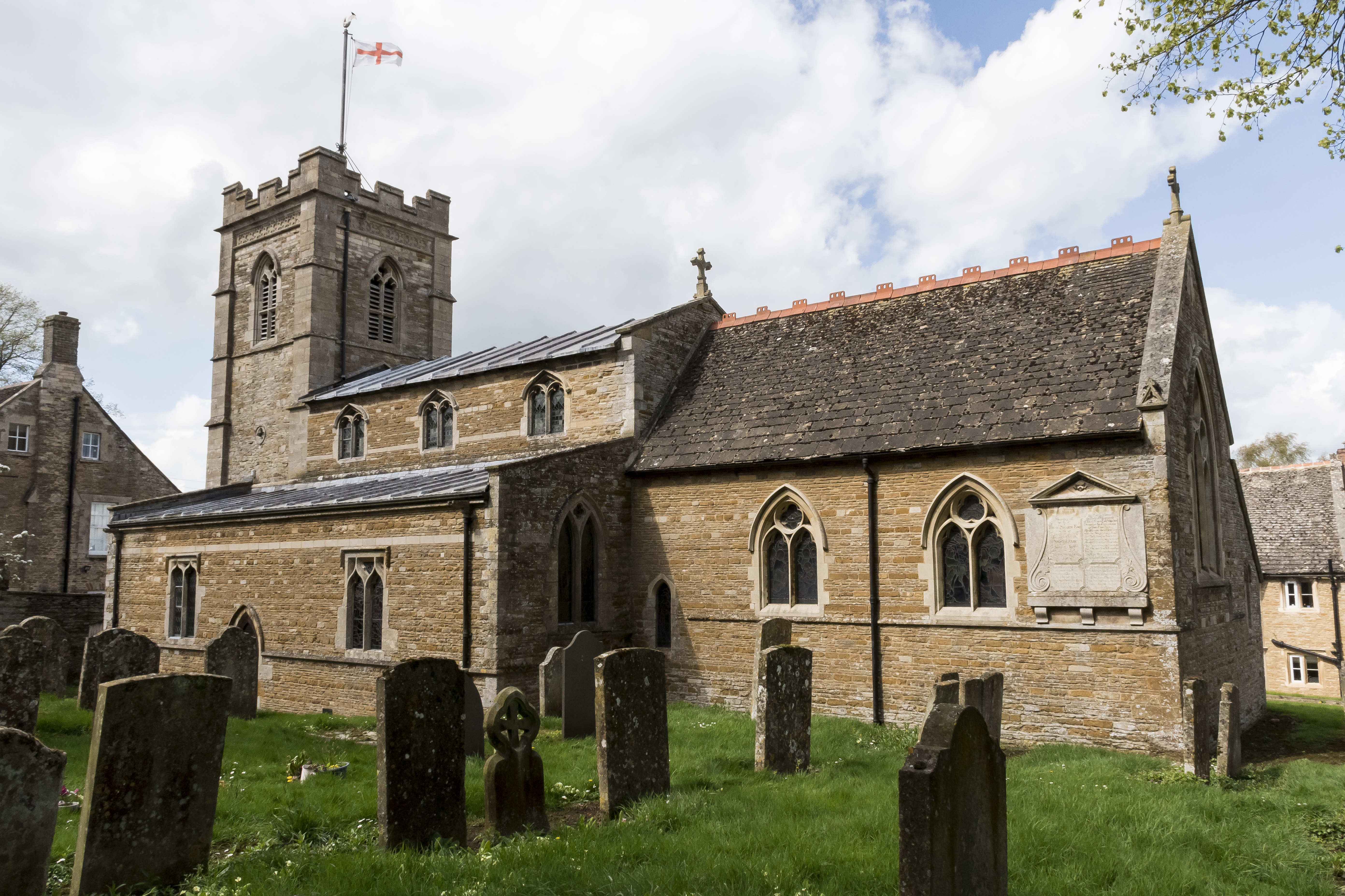
Church of St Peter and St Paul, Wing
The Church of St Peter and St Paul is a church in Wing, Rutland. It is a Grade II* listed building. == History == The church dates from the 12th century...

Wing Water Treatment Works
Wing Water Treatment Works is a 1.5-hectare (3.7-acre) geological Site of Special Scientific Interest east of Wing in Rutland. It is a Geological Conservation...

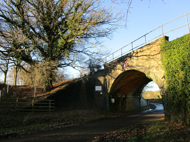
Manton railway station
Manton railway station or Manton Junction is a former railway station which served the villages of Manton and Wing in the county of Rutland. == History... ==
Nearby Amenities
Located within 500m of 52.628833,-0.66432592Have you been to The Dingle?
Leave your review of The Dingle below (or comments, questions and feedback).