Rosekirk Dale
Valley in Yorkshire Ryedale
England
Rosekirk Dale

Rosekirk Dale is a picturesque valley located in the county of Yorkshire, England. Nestled amidst the rolling hills of the Yorkshire Dales National Park, it is renowned for its stunning natural beauty and tranquil atmosphere.
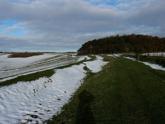
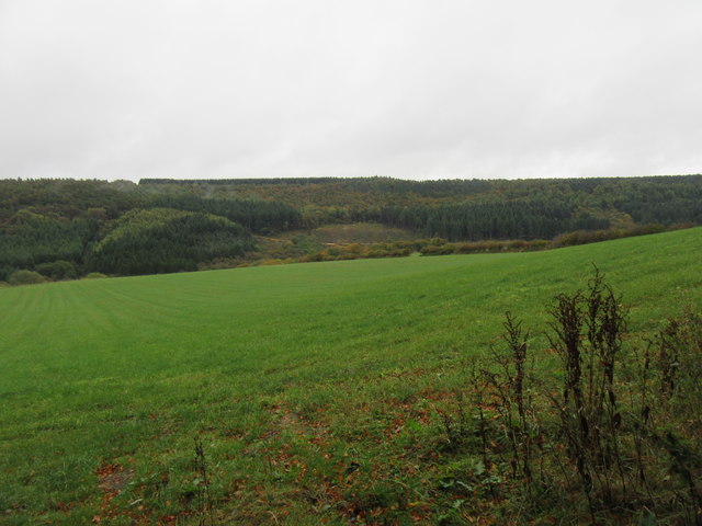
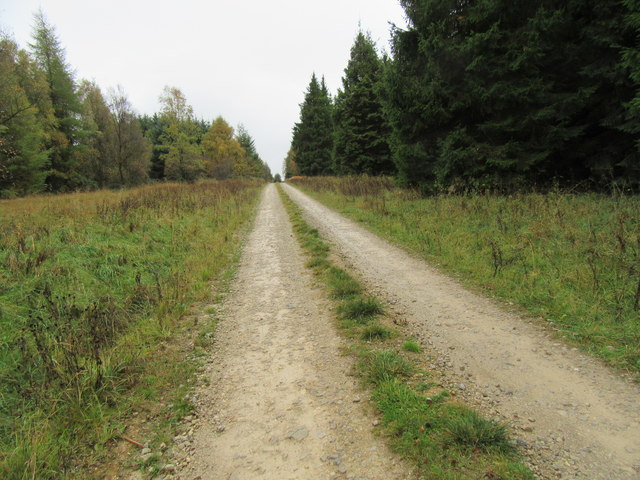
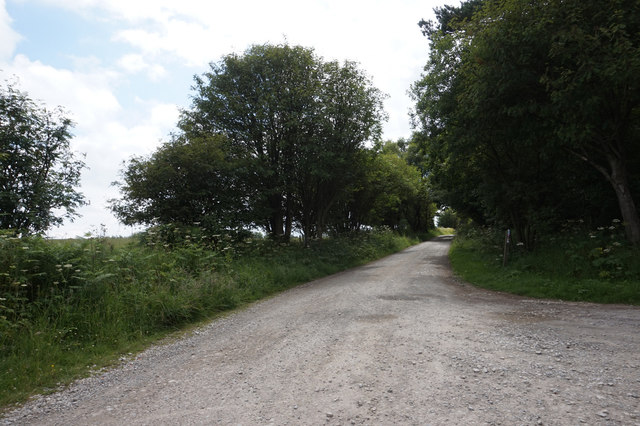
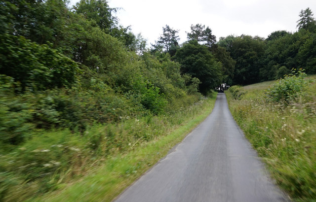
The dale is characterized by its lush green meadows, dotted with vibrant wildflowers during the summer months. It is crisscrossed by a meandering river, which adds to the charm of the landscape. The surrounding hills offer breathtaking views of the valley, with their rugged cliffs and serene woodlands.
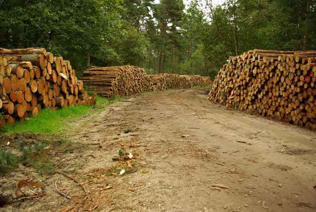
Rosekirk Dale is home to a diverse range of wildlife, making it a haven for nature lovers and wildlife enthusiasts. Visitors may catch a glimpse of red squirrels, otters, and a variety of bird species that call the dale their home.
The area is also steeped in history, with evidence of human occupation dating back to ancient times. Remnants of old settlements, stone circles, and burial mounds can be found scattered throughout the valley, providing fascinating insights into its past.
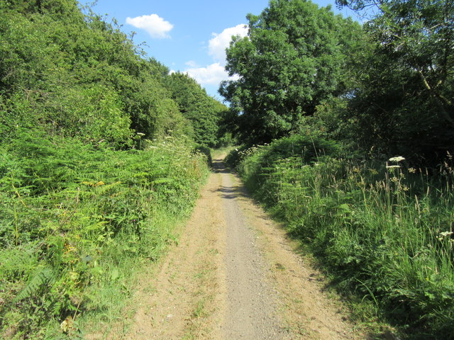
For outdoor enthusiasts, Rosekirk Dale offers numerous walking trails and cycling routes, allowing visitors to explore its enchanting landscapes at their own pace. The valley is also a popular destination for fishing, with the river teeming with trout and salmon.
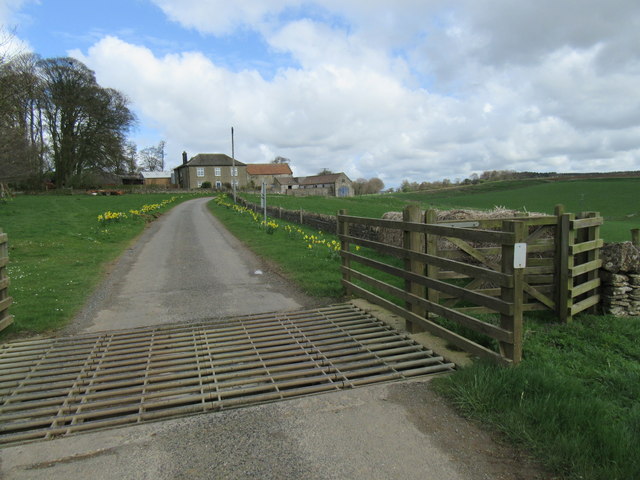
In addition to its natural attractions, Rosekirk Dale boasts a small but welcoming community. There are a few charming villages and hamlets in the area, where visitors can find cozy accommodations, traditional pubs, and local shops offering regional produce.
In summary, Rosekirk Dale is a hidden gem in Yorkshire, offering a perfect blend of natural beauty, wildlife, and history. It is a place where visitors can escape the hustle and bustle of everyday life and immerse themselves in the serenity of the countryside.
If you have any feedback on the listing, please let us know in the comments section below.
Rosekirk Dale Images
Images are sourced within 2km of 54.280353/-0.61184619 or Grid Reference SE9088. Thanks to Geograph Open Source API. All images are credited.


Rosekirk Dale is located at Grid Ref: SE9088 (Lat: 54.280353, Lng: -0.61184619)
Division: North Riding
Administrative County: North Yorkshire
District: Ryedale
Police Authority: North Yorkshire
What 3 Words
///juicy.odds.foggy. Near Thornton Dale, North Yorkshire
Nearby Locations
Related Wikis

Dalby Forest
Dalby Forest is a forest located on the southern slopes of the North York Moors National Park in North Yorkshire, England. It is maintained by Forestry...

Darncombe-cum-Langdale End
Darncombe-cum-Langdale End is a civil parish in the former Scarborough district of North Yorkshire, England. According to the 2001 UK census, Darncombe...
Wykeham Forest
Wykeham Forest is a 2,760-acre (1,115-hectare) woodland 6 miles (9.7 km) in the North York Moors National Park, near to Wykeham, west of Scarborough, England...

Ebberston Hall
Ebberston Hall is a Grade II* listed country house in Ebberston, North Yorkshire, England. It was constructed during 18th century for William Thompson...
Nearby Amenities
Located within 500m of 54.280353,-0.61184619Have you been to Rosekirk Dale?
Leave your review of Rosekirk Dale below (or comments, questions and feedback).