Lyndon Wood

Wood, Forest in Rutland

England

Lyndon Wood

Grassland and Rutland Water
Grassland and Rutland Water Credit: Jonathan Thacker

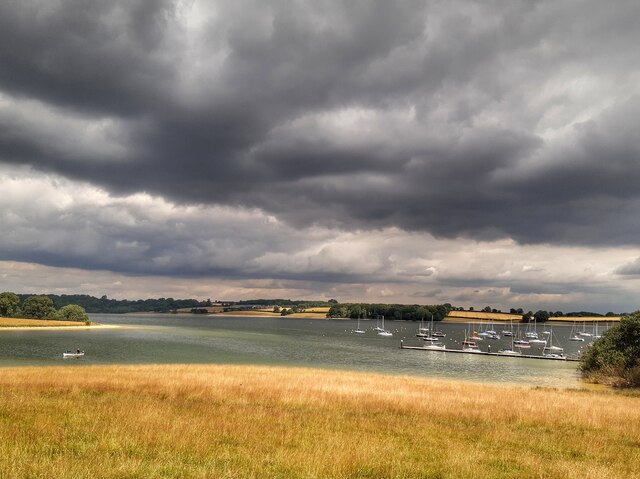
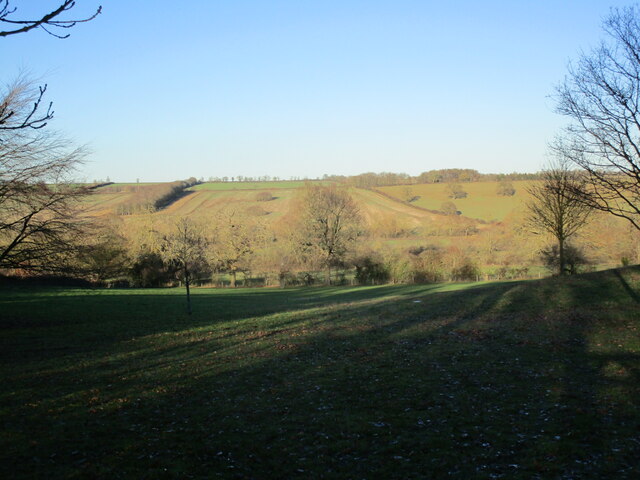
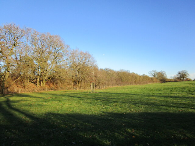
Lyndon Wood, Rutland is a picturesque wooded area located in the heart of Rutland, England. Covering an area of approximately 200 acres, this woodland boasts a diverse range of flora and fauna, making it a haven for nature enthusiasts and wildlife lovers.

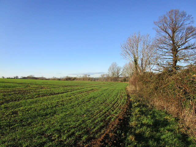
The woodland is primarily composed of deciduous trees, including oak, ash, and beech, which create a stunning canopy of green during the summer months. In addition to the trees, the forest floor is carpeted with an array of wildflowers, such as bluebells and primroses, adding vibrant colors to the landscape.

Lyndon Wood is home to a variety of wildlife, including deer, foxes, badgers, and numerous bird species. Birdwatchers can spot common species like woodpeckers and owls, as well as rarer sightings like the red kite and the marsh tit. The tranquil atmosphere and abundance of wildlife make the wood a popular spot for nature walks and photography.

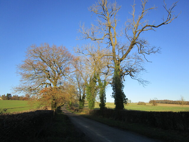
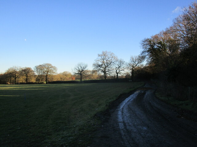
The wood also features well-maintained trails that wind through the trees, providing visitors with the opportunity to explore its beauty at their own pace. These paths are suitable for both leisurely strolls and more challenging hikes, allowing visitors to choose their preferred level of activity.

For those looking for a peaceful escape from the hustle and bustle of daily life, Lyndon Wood, Rutland offers a serene retreat surrounded by nature's beauty. Whether it's a leisurely walk, birdwatching, or simply finding solace in the calm ambiance, this woodland is a must-visit destination for nature enthusiasts of all ages.

If you have any feedback on the listing, please let us know in the comments section below.

Lyndon Wood Images

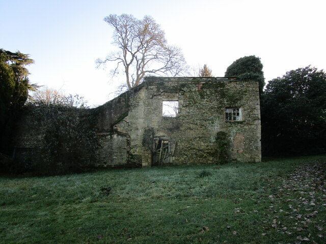
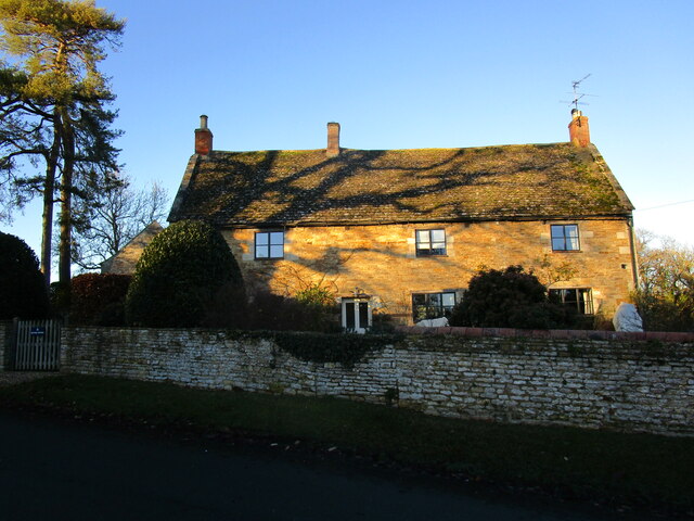
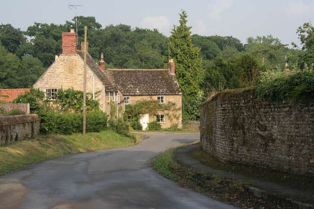
Images are sourced within 2km of 52.633891/-0.66640319 or Grid Reference SK9004. Thanks to Geograph Open Source API. All images are credited.

Grassland and Rutland Water
Rutland Water Hambleton Wood on the right.
Rutland Water
Hambleton Wood on the right.
Rutland Water
Rutland Water
Autumn sown crop at Pilton
Lane towards Lyndon
Lane towards Lyndon
Church of St Martin, Lyndon Heavily restored by T.G. Jackson <span class="nowrap"><a title="https://en.wikipedia.org/wiki/Thomas_Graham_Jackson" rel="nofollow ugc noopener" href="https://en.wikipedia.org/wiki/Thomas_Graham_Jackson">Link</a><img style="margin-left:2px;" alt="External link" title="External link - shift click to open in new window" src="https://s1.geograph.org.uk/img/external.png" width="10" height="10"/></span> in 1866 <span class="nowrap"><a title="https://historicengland.org.uk/listing/the-list/list-entry/1177703?section=official-list-entry" rel="nofollow ugc noopener" href="https://historicengland.org.uk/listing/the-list/list-entry/1177703?section=official-list-entry">Link</a><img style="margin-left:2px;" alt="External link" title="External link - shift click to open in new window" src="https://s1.geograph.org.uk/img/external.png" width="10" height="10"/></span>
Church of St Martin, Lyndon
Heavily restored by T.G. Jackson LinkExternal link in 1866 LinkExternal link
Picks Barn, Lyndon A business and conference hub.
Picks Barn, Lyndon
A business and conference hub.
View over the Chater Valley at Pilton
Farm track alongside the railway near Pilton
Railway bridge near Pilton Bridge PMJ-51.
Railway bridge near Pilton
Bridge PMJ-51.
Grass field and wooded railway embankment near Pilton
Lyndon Hall Seen from the churchyard.

Lyndon Hall was built 1671-3 and designed by John Sturges <span class="nowrap"><a title="https://historicengland.org.uk/listing/the-list/list-entry/1361483?section=official-list-entry" rel="nofollow ugc noopener" href="https://historicengland.org.uk/listing/the-list/list-entry/1361483?section=official-list-entry">Link</a><img style="margin-left:2px;" alt="External link" title="External link - shift click to open in new window" src="https://s1.geograph.org.uk/img/external.png" width="10" height="10"/></span>
Lyndon Hall
Seen from the churchyard. Lyndon Hall was built 1671-3 and designed by John Sturges LinkExternal link
Churchyard gateway, Lyndon Looking through to the grounds of Lyndon Hall. The gateway is listed <span class="nowrap"><a title="https://historicengland.org.uk/listing/the-list/list-entry/1073882?section=official-list-entry" rel="nofollow ugc noopener" href="https://historicengland.org.uk/listing/the-list/list-entry/1073882?section=official-list-entry">Link</a><img style="margin-left:2px;" alt="External link" title="External link - shift click to open in new window" src="https://s1.geograph.org.uk/img/external.png" width="10" height="10"/></span>
Churchyard gateway, Lyndon
Looking through to the grounds of Lyndon Hall. The gateway is listed LinkExternal link
Outhouse to the Old Rectory, Lyndon Dates from the seventeenth century <span class="nowrap"><a title="https://historicengland.org.uk/listing/the-list/list-entry/1073923?section=official-list-entry" rel="nofollow ugc noopener" href="https://historicengland.org.uk/listing/the-list/list-entry/1073923?section=official-list-entry">Link</a><img style="margin-left:2px;" alt="External link" title="External link - shift click to open in new window" src="https://s1.geograph.org.uk/img/external.png" width="10" height="10"/></span>
Outhouse to the Old Rectory, Lyndon
Dates from the seventeenth century LinkExternal link
Remains of the Old Rectory, Lyndon
Bay Tree Cottage, Lyndon Dates from the eighteenth century <span class="nowrap"><a title="https://historicengland.org.uk/listing/the-list/list-entry/1177671?section=official-list-entry" rel="nofollow ugc noopener" href="https://historicengland.org.uk/listing/the-list/list-entry/1177671?section=official-list-entry">Link</a><img style="margin-left:2px;" alt="External link" title="External link - shift click to open in new window" src="https://s1.geograph.org.uk/img/external.png" width="10" height="10"/></span>
Bay Tree Cottage, Lyndon
Dates from the eighteenth century LinkExternal link
4 Church Road, Lyndon Eighteenth century cottage <span class="nowrap"><a title="https://historicengland.org.uk/listing/the-list/list-entry/1307343?section=official-list-entry" rel="nofollow ugc noopener" href="https://historicengland.org.uk/listing/the-list/list-entry/1307343?section=official-list-entry">Link</a><img style="margin-left:2px;" alt="External link" title="External link - shift click to open in new window" src="https://s1.geograph.org.uk/img/external.png" width="10" height="10"/></span>
4 Church Road, Lyndon
Eighteenth century cottage LinkExternal link
Home Farmhouse, Lyndon Dates from the eighteenth century <span class="nowrap"><a title="https://historicengland.org.uk/listing/the-list/list-entry/1073922?section=official-list-entry" rel="nofollow ugc noopener" href="https://historicengland.org.uk/listing/the-list/list-entry/1073922?section=official-list-entry">Link</a><img style="margin-left:2px;" alt="External link" title="External link - shift click to open in new window" src="https://s1.geograph.org.uk/img/external.png" width="10" height="10"/></span>
Home Farmhouse, Lyndon
Dates from the eighteenth century LinkExternal link
Show me another place!

Lyndon Wood is located at Grid Ref: SK9004 (Lat: 52.633891, Lng: -0.66640319)

Unitary Authority: Rutland

Police Authority: Leicestershire

What 3 Words

///guests.swoop.tailwind. Near Wing, Rutland

Related Wikis

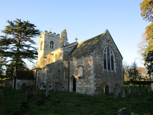
St Martin's Church, Lyndon

St Martin's Church is a church in Lyndon, Rutland. It is a Grade II* listed building. == History == Most of the church is 13th and 14th century. The tower...

Lyndon, Rutland

Lyndon is a small village in the county of Rutland in the East Midlands of England. The population of the civil parish was 80 at the 2001 census (including...

Wing, Rutland

Wing is a village and civil parish in the East Midlands county of Rutland, England. The population was 315 at the 2001 census and 314 at that of 2011....

Vale of Catmose

The Vale of Catmose is an area of relatively low-lying land, much of which is flooded by Rutland Water, in western Rutland, England.The Catmose College...

Nearby Amenities

Located within 500m of 52.633891,-0.66640319
Addr Housename: Top Hall
Source: OS OpenData StreetView
Lat/Long: 52.63336/-0.6610611
The data included in this document is from www.openstreetmap.org. The data is made available under ODbL.

Have you been to Lyndon Wood?

Leave your review of Lyndon Wood below (or comments, questions and feedback).