Crabley Clough

Valley in Yorkshire

England

Crabley Clough

Horse in a field near Cave Crossing A field on the edge of Broomfleet with the railway running beyond.
Horse in a field near Cave Crossing Credit: DS Pugh

Crabley Clough is a picturesque valley located in the county of Yorkshire, England. Nestled amidst the rolling hills and lush green countryside, it is a haven of natural beauty and tranquility. The valley stretches for approximately three miles and is formed by the Crabley Beck, a small stream that meanders through its heart.

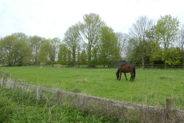
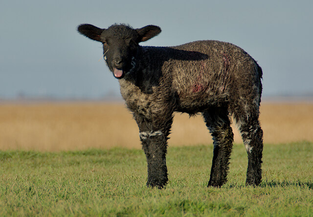
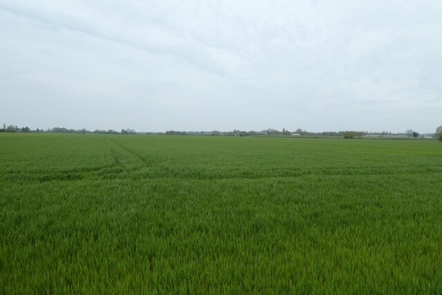
The landscape of Crabley Clough is characterized by its verdant meadows, dense woodlands, and charming wildflower-filled pastures. The area is known for its diverse flora and fauna, making it a popular spot for nature enthusiasts and wildlife lovers. Visitors can often spot a variety of bird species, including kingfishers, herons, and woodpeckers, as well as rabbits, deer, and other small mammals.

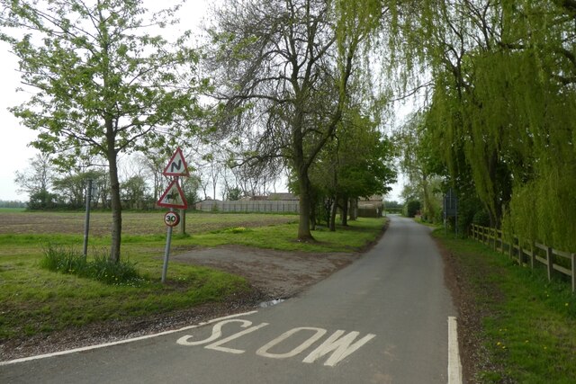
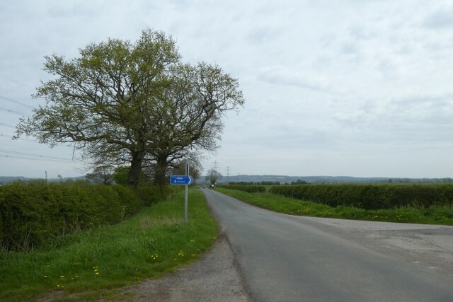
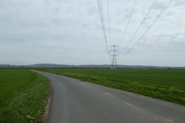
The valley is crisscrossed by a network of footpaths and bridleways, inviting hikers, cyclists, and horse riders to explore its scenic routes. One of the highlights is the Crabley Clough Circular Trail, a well-marked path that takes walkers on a circular journey through the valley, showcasing its stunning vistas and offering glimpses of its rich history.

Historically, Crabley Clough has been inhabited for centuries, with evidence of human activity dating back to the Roman era. The valley is dotted with remnants of its past, including ancient stone boundary markers, old mill buildings, and remnants of a medieval settlement. These historical sites add an intriguing layer to the valley's charm and provide insights into its heritage.

In conclusion, Crabley Clough in Yorkshire is a captivating valley that offers visitors a chance to immerse themselves in the beauty of nature, explore its rich history, and enjoy outdoor activities in a serene and idyllic setting.

If you have any feedback on the listing, please let us know in the comments section below.

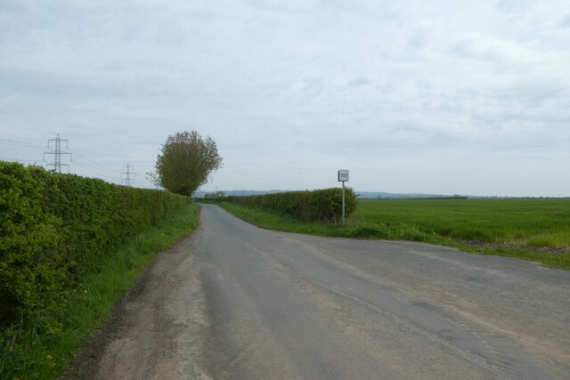
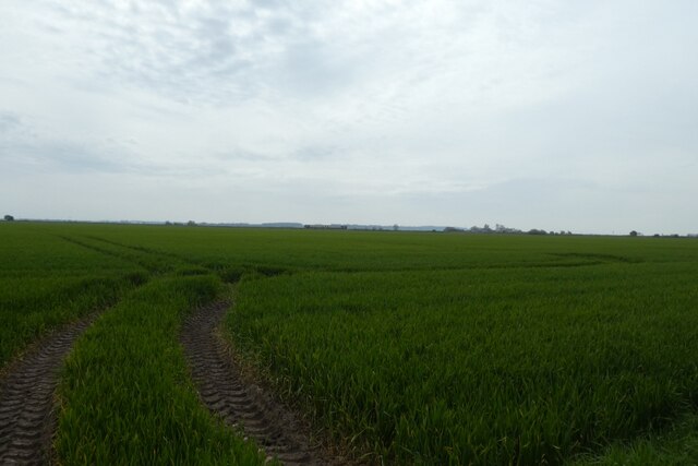
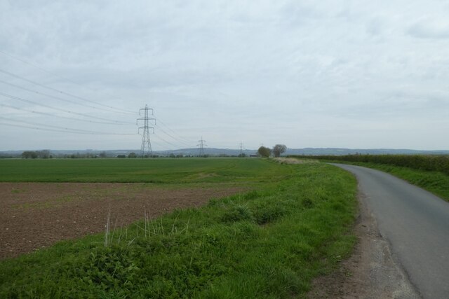
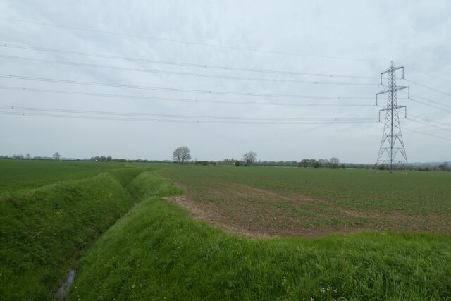
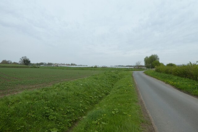
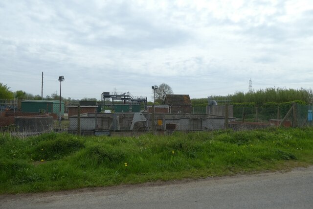
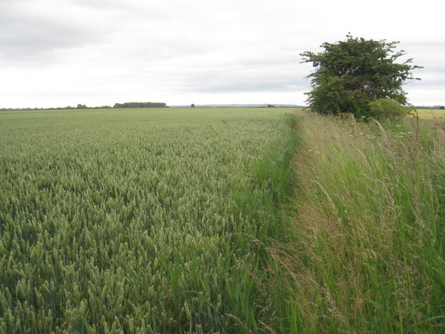
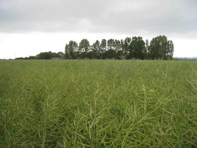
Crabley Clough Images

Images are sourced within 2km of 53.734703/-0.62931067 or Grid Reference SE9027. Thanks to Geograph Open Source API. All images are credited.

Horse in a field near Cave Crossing A field on the edge of Broomfleet with the railway running beyond.
Horse in a field near Cave Crossing
A field on the edge of Broomfleet with the railway running beyond.
Ellerker Road near Cave Crossing Looking away from the level crossing along the road to Broomfleet and forming part of National Cycle Network route 65.
Ellerker Road near Cave Crossing
Looking away from the level crossing along the road to Broomfleet and forming part of National Cycle Network route 65.
TransPennine service on Cave Crossing The 1203 Hull to Huddersfield (1K18) service formed of 185107 and 185114 makes its way over Cave Crossing and will next call at Selby. The road forms part of National Cycle Network route 65. The white 'tictac' on the left is an obstacle detection system which ensures that the crossing is clear of obstructions ahead of the signals protecting the crossing being cleared to allow trains to proceed. Before the upgrade of this crossing and the passing of control to the York Rail Operating Centre, the gate box opposite controlled the crossing. A documentary on the working of this box prior to closure can be found at: <span class="nowrap"><a title="https://www.s-r-s.org.uk/videoPages/Gilberdyke.php" rel="nofollow ugc noopener" href="https://www.s-r-s.org.uk/videoPages/Gilberdyke.php">Link</a><img style="margin-left:2px;" alt="External link" title="External link - shift click to open in new window" src="https://s1.geograph.org.uk/img/external.png" width="10" height="10"/></span>
TransPennine service on Cave Crossing
The 1203 Hull to Huddersfield (1K18) service formed of 185107 and 185114 makes its way over Cave Crossing and will next call at Selby. The road forms part of National Cycle Network route 65. The white 'tictac' on the left is an obstacle detection system which ensures that the crossing is clear of obstructions ahead of the signals protecting the crossing being cleared to allow trains to proceed. Before the upgrade of this crossing and the passing of control to the York Rail Operating Centre, the gate box opposite controlled the crossing. A documentary on the working of this box prior to closure can be found at: LinkExternal link
Cave Crossing The signal box on the right closed when the line was upgraded with control passing to the Rail Operating Centre in York. A documentary on the working of this signal box prior to closure can be found at: <span class="nowrap"><a title="https://www.s-r-s.org.uk/videoPages/Gilberdyke.php" rel="nofollow ugc noopener" href="https://www.s-r-s.org.uk/videoPages/Gilberdyke.php">Link</a><img style="margin-left:2px;" alt="External link" title="External link - shift click to open in new window" src="https://s1.geograph.org.uk/img/external.png" width="10" height="10"/></span> The road forms part of National Cycle Network route 65.
Cave Crossing
The signal box on the right closed when the line was upgraded with control passing to the Rail Operating Centre in York. A documentary on the working of this signal box prior to closure can be found at: LinkExternal link The road forms part of National Cycle Network route 65.
Footpath from Ellerker Road Looking along a footpath near Provence Farm.
Footpath from Ellerker Road
Looking along a footpath near Provence Farm.
Ellerker Road Looking along Ellerker Road where a footpath crosses over. The road forms part of National Cycle Network route 65.
Ellerker Road
Looking along Ellerker Road where a footpath crosses over. The road forms part of National Cycle Network route 65.
Fields south of Ings Lane Looking across a field of cereal crops. In the distance the 1153 Hull to Doncaster (2C25) formed of 158789 makes its way towards Cave crossing a few minutes late.
Fields south of Ings Lane
Looking across a field of cereal crops. In the distance the 1153 Hull to Doncaster (2C25) formed of 158789 makes its way towards Cave crossing a few minutes late.
Along Ings Lane The road forms part of National Cycle Network route 65.
Along Ings Lane
The road forms part of National Cycle Network route 65.
Skelfleet Drain Looking along a field drain from Ings Lane.
Skelfleet Drain
Looking along a field drain from Ings Lane.
Lone lamb, by the Humber On top of the flood embankment west of Brough, this rather bedraggled lamb was bleating plaintively, presumably in the hope that its mother would come to its aid.
Lone lamb, by the Humber
On top of the flood embankment west of Brough, this rather bedraggled lamb was bleating plaintively, presumably in the hope that its mother would come to its aid.
Junction with Crabley Lane Looking along Ings Lane which forms part of National Cycle Network route 65. To the right is Crabley Lane.
Junction with Crabley Lane
Looking along Ings Lane which forms part of National Cycle Network route 65. To the right is Crabley Lane.
Powerlines crossing Ings Lane The road forms part of National Cycle Network route 65.
Powerlines crossing Ings Lane
The road forms part of National Cycle Network route 65.
Field north of Ings Lane Looking across arable fields of cereal crops.
Field north of Ings Lane
Looking across arable fields of cereal crops.
Drain beside Ings Lane The road forms part of National Cycle Network route 65.
Drain beside Ings Lane
The road forms part of National Cycle Network route 65.
Ellerker Waste Water Treatment Works Situated on Norfolk Bank Lane opposite Carrdales Nursery.
Ellerker Waste Water Treatment Works
Situated on Norfolk Bank Lane opposite Carrdales Nursery.
Grit box on Norfolk Bank Lane The road forms part of National Cycle Network route 65.
Grit box on Norfolk Bank Lane
The road forms part of National Cycle Network route 65.
Overgrown Path This is the same field and the same crop as in Ian S's photograph of October 2010 <a href="https://www.geograph.org.uk/photo/2106326">SE8927 : A path heading South near Providence Farm</a> but whereas he found a clear and walkable path I didn't.
Overgrown Path
This is the same field and the same crop as in Ian S's photograph of October 2010 SE8927 : A path heading South near Providence Farm but whereas he found a clear and walkable path I didn't.
Oilseed rape and Provence
Show me another place!

Crabley Clough is located at Grid Ref: SE9027 (Lat: 53.734703, Lng: -0.62931067)

Division: East Riding

Unitary Authority: East Riding of Yorkshire

Police Authority: Humberside

What 3 Words

///lands.siblings.trespass. Near Broomfleet, East Yorkshire

Related Wikis

Broomfleet

Broomfleet is a village and civil parish in the East Riding of Yorkshire, England. It is situated on the Humber Estuary approximately 4 miles (6 km) west...

Ellerker

Ellerker is a village and civil parish in the East Riding of Yorkshire, England. It is situated approximately 10 miles (16 km) west of Hull city centre...

Whitton railway station (Lincolnshire)

Whitton railway station was a railway station, built by the North Lindsey Light Railway in Whitton, Lincolnshire. It was the northern terminus of the line...

Broomfleet railway station

Broomfleet railway station serves the village of Broomfleet in the East Riding of Yorkshire, England. The station is on the Selby Line 14+1⁄2 miles (23...

Nearby Amenities

Located within 500m of 53.734703,-0.62931067
Crabley Creek LC
Railway: level_crossing
Lat/Long: 53.7349137/-0.6311508
Crabley Clough
Place: locality
Lat/Long: 53.7341721/-0.629757
Crabley Creek LC
Railway: level_crossing
Lat/Long: 53.734864/-0.6310782
Railway: signal
Lat/Long: 53.7350138/-0.6319115
Ellerker Farm
Railway: crossing
Lat/Long: 53.7340779/-0.6251019
Ellerker Farm
Railway: crossing
Lat/Long: 53.7341152/-0.6250861
The data included in this document is from www.openstreetmap.org. The data is made available under ODbL.

Have you been to Crabley Clough?

Leave your review of Crabley Clough below (or comments, questions and feedback).