Saintofts Dale
Valley in Yorkshire
England
Saintofts Dale
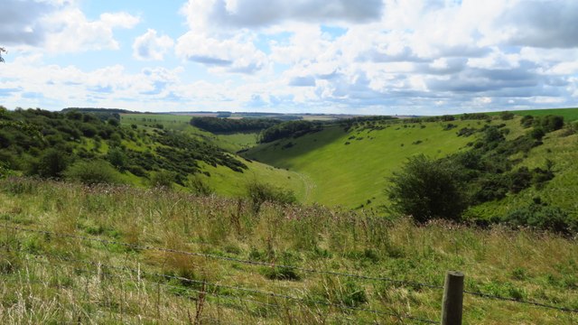
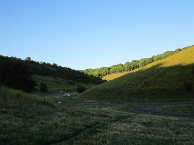
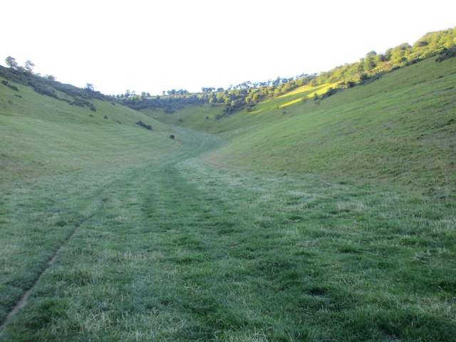
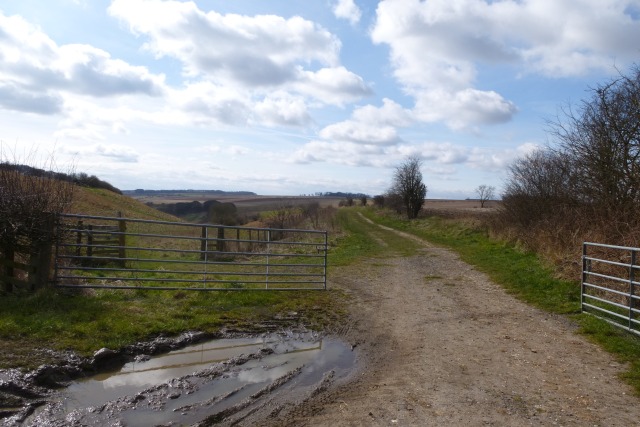
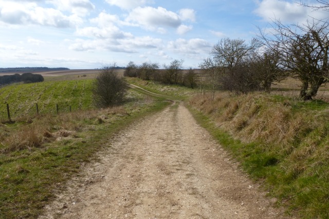
Saintofts Dale is a picturesque valley located in the county of Yorkshire, England. Nestled amidst rolling hills and verdant landscapes, this idyllic valley offers a serene and tranquil retreat for nature lovers and those seeking a peaceful escape from the bustling city life.
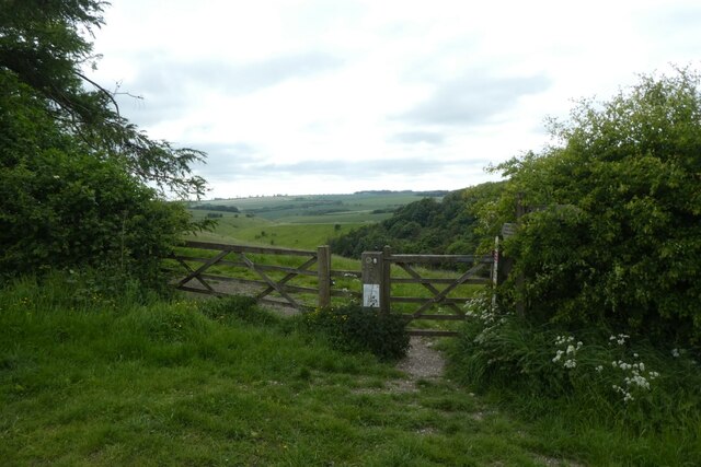
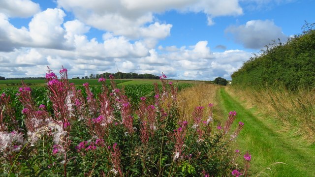
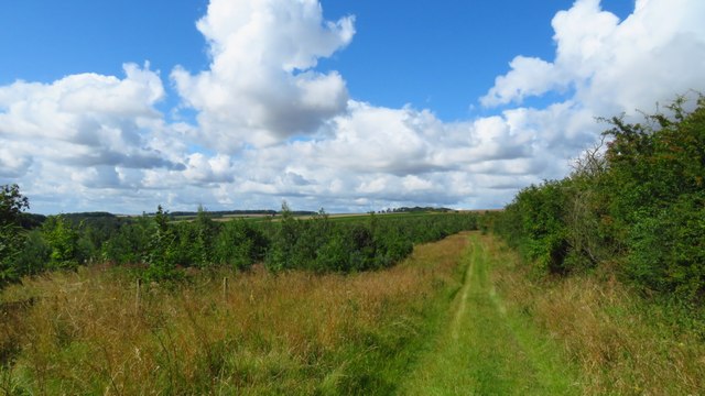
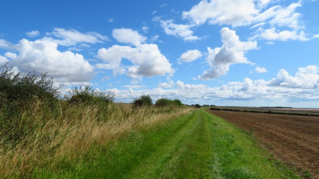
The dale is characterized by its breathtaking natural beauty, with lush green meadows, meandering streams, and ancient woodlands dotting the landscape. The valley is also home to an array of wildlife, including various bird species, deer, and rabbits, making it a haven for nature enthusiasts and wildlife photographers.
The area's rich history is evident in the presence of several historic landmarks and structures. The ruins of an old medieval church, believed to date back to the 12th century, add to the charm and mystique of the valley. Additionally, the remnants of a centuries-old mill can still be found along the banks of the river, serving as a reminder of the area's industrial past.
Outdoor activities abound in Saintofts Dale, with numerous hiking and walking trails crisscrossing the valley. These trails offer breathtaking vistas of the surrounding countryside and provide opportunities for visitors to explore the area's natural wonders up close. The valley is also popular among anglers, with its rivers and streams teeming with fish.
For those seeking a peaceful and scenic retreat, Saintofts Dale in Yorkshire is a must-visit destination. Its natural beauty, rich history, and abundance of outdoor activities make it a perfect destination for nature lovers and those looking to immerse themselves in the beauty of the English countryside.
If you have any feedback on the listing, please let us know in the comments section below.
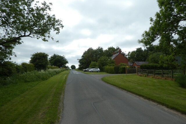
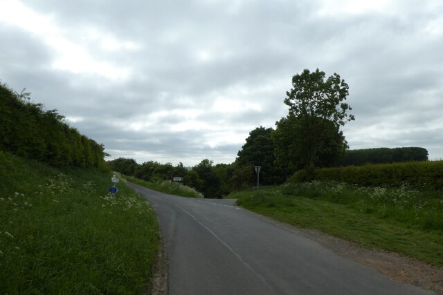
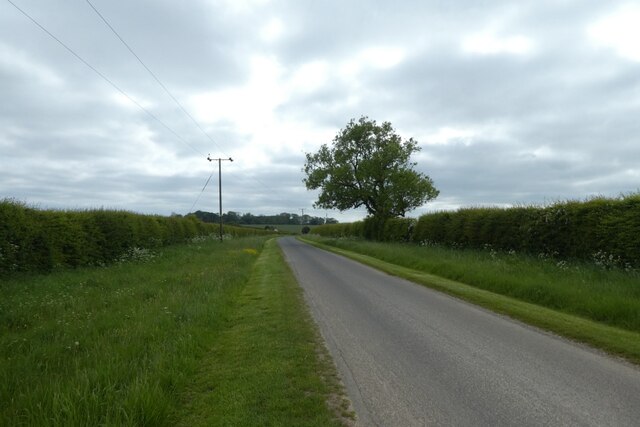
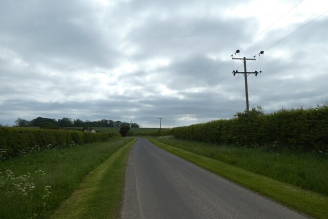
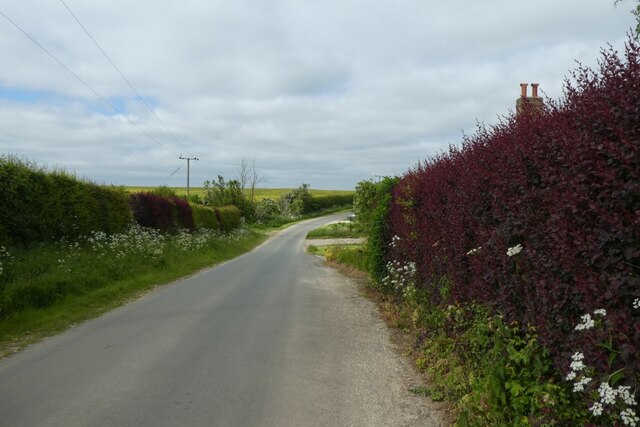
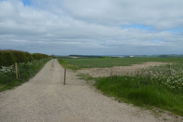
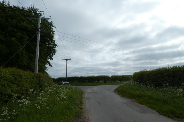
Saintofts Dale Images
Images are sourced within 2km of 53.967527/-0.6765635 or Grid Reference SE8653. Thanks to Geograph Open Source API. All images are credited.
Saintofts Dale is located at Grid Ref: SE8653 (Lat: 53.967527, Lng: -0.6765635)
Division: East Riding
Unitary Authority: East Riding of Yorkshire
Police Authority: Humberside
What 3 Words
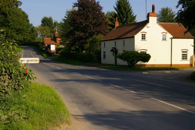
///history.swerving.screeches. Near Millington, East Yorkshire
Nearby Locations
Related Wikis

Huggate
Huggate is a village and civil parish in the East Riding of Yorkshire, England. It is situated approximately 13 miles (21 km) north-west of Beverley town...

St James' Church, Warter
St James’ Church lies in Warter, an estate village in England, in the Yorkshire Wolds, part of the East Riding of Yorkshire. == Origins and history... ==
Warter
Warter is a small village and civil parish in the East Riding of Yorkshire, England. It is situated approximately 4 miles (6.4 km) east of Pocklington...

Bigger Trees Near Warter
Bigger Trees Near Warter or ou Peinture en Plein Air pour l'age Post-Photographique is a large landscape painting by British artist David Hockney. Measuring...
Warter Priory
Warter Priory is an 11,000 acres (4,500 ha) country estate in the East Riding of Yorkshire Yorkshire Wolds, centred 1 mile (2 km) south-west of the village...

Millington, East Riding of Yorkshire
Millington is a small village and civil parish in the East Riding of Yorkshire, England. It is situated approximately 2 miles (3.2 km) north-east of Pocklington...
Nunburnholme Priory
Nunburnholme Priory was a priory of Benedictine nuns in the East Riding of Yorkshire, England. It was founded during the reign of Henry II of England by...
Beckhead Plantation
Beckhead Plantation is a Site of Special Scientific Interest (SSSI) and nature reserve in the East Riding of Yorkshire, England. It is located close to...
Nearby Amenities
Located within 500m of 53.967527,-0.6765635Have you been to Saintofts Dale?
Leave your review of Saintofts Dale below (or comments, questions and feedback).